Kazakhstan
Pavlodar Region, Kazakhstan — Towns & Travel Guide


Pavlodar Region spreads across north-eastern Kazakhstan, where the Irtysh River threads industrial cities and open steppe.
About Pavlodar Region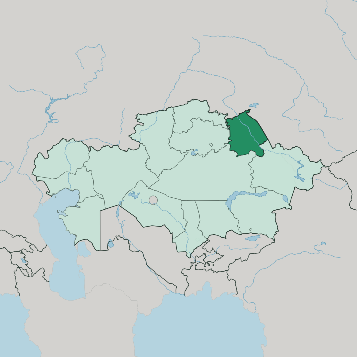
Towns & cities in Pavlodar Region
Pick a town or city — each links to where to stay.
Pavlodar is the obvious base. It is the regional capital and Irtysh port where most beds, restaurants and the intercity trains are concentrated, so the majority of visitors settle there first. From there the region splits by purpose.
Bayanaul lies south-west in the hills, a small lakeside village inside Bayanaul National Park that fills up in the warm months and thins out otherwise. Ekibastuz sits west on the coalfields, close to the open pits and the towering power-station chimney. Choose Pavlodar for the riverfront; head to Bayanaul when you want granite hills and swimming lakes rather than smokestacks.
About Pavlodar Region
This is industrial Kazakhstan, powered by coal.
What is Pavlodar Region known for?
Ekibastuz sits on one of the country's largest coal basins and burns it in power stations, one of which carries the tallest chimney ever built, a reinforced-concrete stack rising past 400 metres over the steppe. Aksu smelts ferroalloys, and the capital at Pavlodar refines oil piped in from the north. The Irtysh River ties the three cities together and feeds the Irtysh-Karaganda Canal that carries water west toward the mines.
Bayanaul National Park breaks the flatness with granite hills and lakes.
Where is Pavlodar Region?
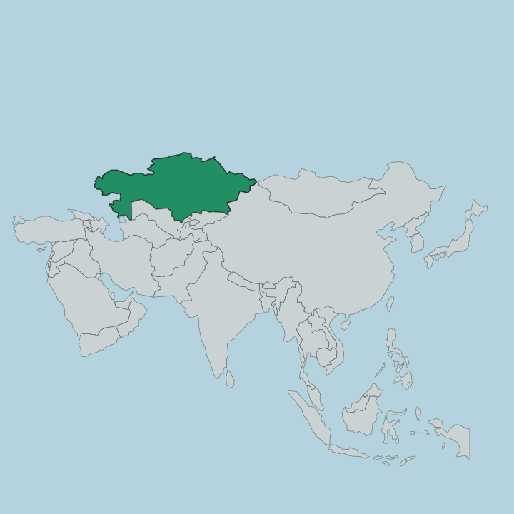
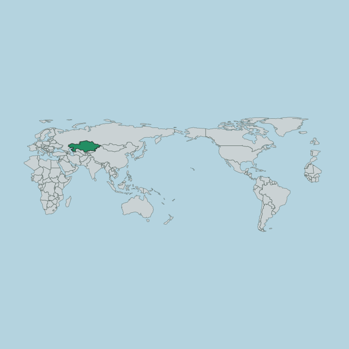
Pavlodar Region fills the north-eastern corner of Kazakhstan, pressed against the Russian border. Its land covers roughly 124,800 square kilometres of mostly level ground. The northern half belongs to the southern fringe of the West Siberian Plain, a low country of flat farmland, birch stands and shallow lakes that grades into Siberia across the frontier.
Down south the ground lifts into the Kazakh Uplands, the worn granite peneplain that Kazakhs call Saryarka. The Irtysh River is the axis of everything. It enters from the south after draining the Altay Mountains far upstream, then swings north-west through the region toward Russia, and the three main cities all sit on or near its banks.
Beyond it lies steppe. That flat grassland runs dry and salt-flecked away from the water, dotted with soda lakes that whiten as they evaporate in the summer heat. The Irtysh-Karaganda Canal branches off the river in the west, pumping water uphill toward Ekibastuz and the mining country beyond.
In the far south the Bayanaul Range rises out of the plain, an island of pine forest, boulders and clear lakes that reaches its high point at Akbet, just past 1,000 metres. It is the one piece of relief in a region otherwise defined by its horizons.
What is Pavlodar Region like?
Two peoples share this land in near-equal measure. Kazakhs make up a little over half the region, and Russians most of the rest, with smaller Ukrainian, German and Tatar communities that arrived during the Soviet decades of mines and virgin-lands farming. Both Kazakh and Russian are heard on the streets of Pavlodar, and the mix gives the region a border character distinct from the Kazakh heartland further south.
The Bayanaul hills are the cultural wellspring. That small pocket of forest and lake produced an unusual concentration of Kazakh writers and scholars, and their names are stamped across the map. Lake Toraygir honours the poet Sultanmahmut Toraygirov, who grew up beside these waters, and the state university in Pavlodar bears his name too.
The folklorist Mashhur-Jusup Kopeyuly gathered the oral poetry of the steppe. He is remembered in the great mosque that anchors central Pavlodar. Alongside that literary heritage runs the harder story of industry: coal, ferroalloys and power lines, the Soviet build-out that turned quiet river towns into smokestack cities.
Both threads shape it still.
What is the history of Pavlodar Region?
The Irtysh drew people first. Hunters and fishers worked its banks here as far back as the Stone Age, long before any city stood on the river. In later centuries the steppe belonged to the Kazakh Khanate, a world of nomadic herders.
The Russian Empire pushed a line of Cossack forts down the river in the eighteenth century, and the salt trade at the outpost that would become Pavlodar drew the first permanent settlers to the bank. The region itself was drawn on the map in 1938, carved out as a province of Soviet Kazakhstan. Coal did the rest.
Canals and power stations turned a quiet river frontier into an industrial one within a few Soviet decades.
What is the climate of Pavlodar Region?
Winters run bitterly cold across Pavlodar Region. The region has a sharply continental climate, sitting far from any sea, so the cold sinks in from November and holds for months, and the Irtysh freezes solid enough to cross. Summers flip to the other extreme, short and hot, when the steppe dries out and dust rides the wind off the open plains.
Spring and autumn barely pause between the two. Bayanaul, sheltered in its hills, escapes the worst of the steppe wind and draws people to its lakes once the ice goes.
How do you get to Pavlodar Region?
Most travellers reach Pavlodar by air or rail. The city has an airport with flights from Astana and Almaty, and it sits on the Trans-Kazakhstan railways that thread north toward the Russian border at Omsk. Roads follow the Irtysh and fan out to Ekibastuz and Aksu.
Bayanaul, tucked south-west in the hills, takes a longer drive across the steppe from either Pavlodar or Ekibastuz, and there is no station at the park itself.
Good for
Updated July 2026