Kazakhstan
Almaty Oblysy, Kazakhstan — Towns & Travel Guide


Almaty Oblysy wraps the mountains and lakes around Almaty in Kazakhstan's south-east, the old land of seven rivers.
About Almaty Oblysy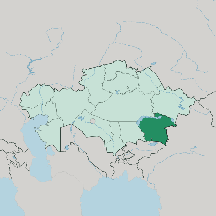
Towns & cities in Almaty Oblysy
Pick a town or city — each links to where to stay.
Base in the city. The region rings Almaty without taking it in, so nearly every trip stays there and drives out into the mountains for the day. Qonayev, the regional seat on the Kapchagay Reservoir along the Ili, is a waterside stop north of the ranges.
For the Kölsay and Kaindy lakes, the village of Saty is the practical overnight, its guesthouses the closest beds to the trailheads. Pick Almaty for comfort, Qonayev for the reservoir, and Saty when the high lakes are the whole point.
About Almaty Oblysy
Mountains and water define it.
What is Almaty Oblysy known for?
The Trans-Ili Alatau, the northern wall of the Tian Shan, rises along the southern edge above Almaty, and the Ili River threads north across the region toward Lake Balkhash. Between them sit the sights travellers come for: Charyn Canyon east of Almaty, the Kölsay Lakes high in the Tian Shan near the Kyrgyz border, and the reservoir on the Ili at Qonayev. This is the country's Zhetysu, the land of seven rivers.
Where is Almaty Oblysy?
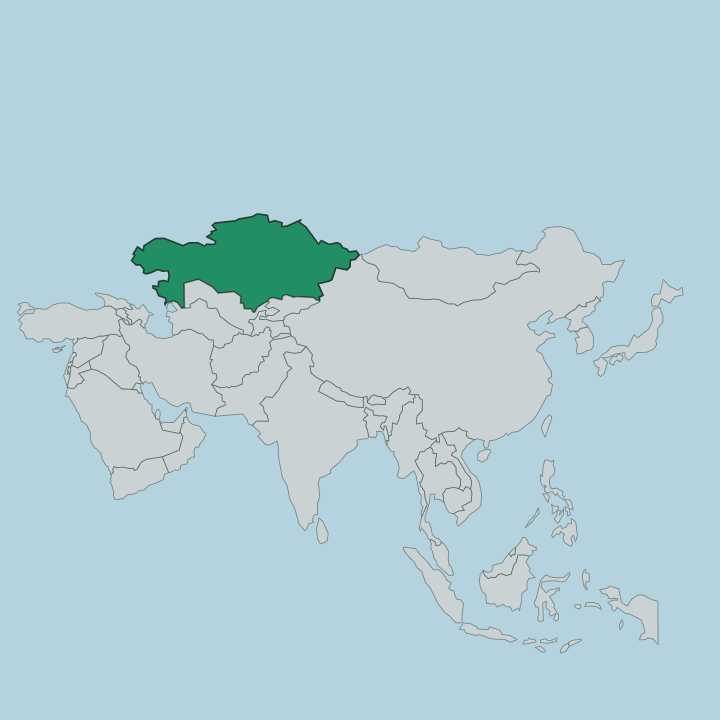
Almaty Oblysy fills the south-eastern corner of Kazakhstan, and it curls around the city of Almaty without including it. The land tilts from high mountains in the south to desert and lake in the north. Along the southern border with Kyrgyzstan stands the Trans-Ili Alatau, the northernmost range of the Tian Shan, its Talgar Peak reaching 4,973 metres above the plain.
From those slopes the meltwater runs down. The Ili River gathers it and carries it north-west across the region to Lake Balkhash, whose long shore forms much of the region's north-western edge. Balkhash is one of the largest lakes in Asia, and the Ili supplies most of what flows into it.
This is the country's Zhetysu, the land of seven rivers, the well-watered belt between the mountain wall and the dry steppe around Balkhash. On the Ili sits the Kapchagay Reservoir, dammed in the 1970s, with the regional seat of Qonayev on its shore. Further east the Charyn River has cut Charyn Canyon into red rock, and higher still, near the Kyrgyz frontier, the Kölsay Lakes step up the forested slopes of the Tian Shan.
Five climatic belts stack up here, from desert floor to permanent snow. The mountains hold the water, and the water made the place.
What is Almaty Oblysy like?
People have prized this watered land for a very long time. The Zhetysu was a home ground of the Saka nomads whose burial mounds still stud the foothills, and it was near the town of Esik that archaeologists uncovered the Golden Man, a warrior buried in thousands of gold plaques. Trade came through too.
A northern arm of the Silk Road crossed the seven-rivers country, linking the oases below the Tian Shan to the wider world of Central Asia. That deep past sits close to the surface here. The Zhetysu was also where the Kazakh Khanate took shape in the fifteenth century, as sultans led their followers into these pastures below the mountains.
Kazakh is the everyday language, Russian the common second tongue, and the rhythm of herding, horses and mountain pasture still shapes the countryside. The region reads as Almaty's back garden and its larder at once. Weekends fill the canyons and lake valleys with people from the city, and the villages below the passes keep the older ways of the pasture and the road.
What is the history of Almaty Oblysy?
The region as an administrative unit dates to 1932, when it was drawn up within the Kazakh republic and named for Alma-Ata, the old name of Almaty. For most of the century Almaty itself was the seat. The deeper story runs back through the Kazakh Khanate to the Saka mounds and the Silk Road that once crossed the Zhetysu.
Then the map changed. In 2022 the region was split, its northern half becoming Zhetysu Region, while the town of Kapshagai was renamed Qonayev and made the new regional seat.
What is the climate of Almaty Oblysy?
In Almaty Region, elevation settles the climate. On the desert floor around Lake Balkhash the summers run hot and dry and the winters bite with continental cold, while up in the Trans-Ili Alatau the air stays cool and the highest ridges keep their snow all year. Between the two, five climatic belts stack up the slope, from arid steppe to permanent glacier.
Spring meltwater fills the Ili and the mountain lakes, and the high roads to the Kölsay Lakes and Charyn Canyon are an open-season affair, best from late spring through autumn.
How do you get to Almaty Oblysy?
Almost everyone comes through Almaty. The city the region encircles holds the main airport and the rail hub, and its road network is the way in and out. From there it is a drive: north-east to Qonayev and the reservoir on the Ili, or east on the long road toward Charyn Canyon and, beyond it, the mountain village of Saty for the Kölsay Lakes.
Distances are big and the high roads climb, so most visitors hire a car or join a tour out of the city.
Good for
Updated July 2026