Kazakhstan
Aqmola Oblysy, Kazakhstan — Towns & Travel Guide


Aqmola Oblysy wraps the steppe around Kazakhstan's capital Astana, home to the Burabay lakes and the Esil river.
About Aqmola Oblysy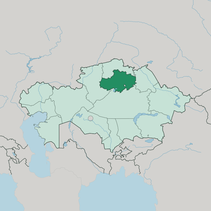
Towns & cities in Aqmola Oblysy
Pick a town or city — each links to where to stay.
Most trips revolve around Burabay. The resort belt around Lake Borovoe and the town of Shchuchinsk holds the bulk of the region's hotels and old sanatoria, an easy run north from the capital. Kökshetau, the administrative centre on Lake Kopa, works better as a base for reaching the rest of the oblast than as a destination in itself.
Out on the Saryarka steppe, the village of Korgalzhyn sits beside the flamingo lakes of the Korgalzhyn reserve, where beds are few and most people come for the day. Pick Burabay for the lakes, Kökshetau for logistics.
About Aqmola Oblysy
One name draws almost everyone here: Burabay.
What is Aqmola Oblysy known for?
The pine-clad hills, granite outcrops and clear lakes of that resort have earned it the label of "Kazakh Switzerland", and they sit within easy reach of the capital Astana, which the region surrounds on every side without administering it. Beyond the lakes lies open grain steppe, ploughed under the Soviet Virgin Lands drive and still worked for wheat. Kökshetau is the regional capital.
The Esil river and the salt flats of Lake Tengiz complete the picture.
Where is Aqmola Oblysy?
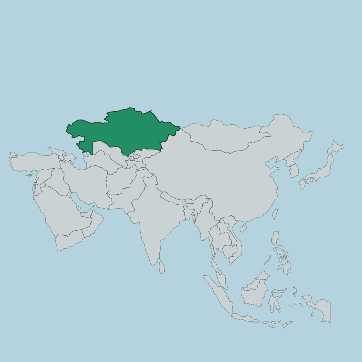
Aqmola Oblysy lies in the north-centre of Kazakhstan, one of only a few regions that touch none of the country's outer borders. It rings the capital. Astana sits in the middle of the oblast as a self-governing enclave, surrounded by regional territory but administered apart from it.
North Kazakhstan Region borders it above, Pavlodar to the east, Karaganda to the south and Kostanay to the west. The land is Saryarka country, the worn peneplain of the Kazakh Uplands, where low granite hills rise out of otherwise level grain steppe. Rivers and lakes shape everything else.
The Esil river, known in Kazakh as the Yesil and in Russian as the Ishim, threads across the region and through Astana before bending north toward Siberia. Away from the river the drainage runs inward to salt basins, the largest of them Lake Tengiz, a shallow saline sheet on the southern edge of the oblast. In the north the granite knuckles of the Kökshetau Hills gather the pine forests and clear lakes of Burabay.
Kökshetau, the regional capital, stands on the southern shore of Lake Kopa at the foot of those hills.
What is Aqmola Oblysy like?
This is mixed country, in people as much as in land. Kazakh is the state language and the majority tongue, but Russian is heard everywhere, a legacy of Slavic and German settlers drawn to the grain frontier through the twentieth century. Ukrainians and Germans still make up a visible share of the towns.
The steppe holds the older memory. Kazakh herding culture and the felt yurt belong to this land, and the region's very name, from aq mola, means "white tomb" in Kazakh. Much of what visitors do here turns on nature and remembrance rather than city sights.
Families come to Burabay to walk the pine hills, take the waters at the old sanatoria and climb to viewpoints over Lake Borovoe. Birdwatchers head for the Korgalzhyn reserve and the flamingos of Lake Tengiz. And near the village of Akmol stands ALZhIR, the memorial on the site of a Stalin-era camp that held the wives and children of men branded enemies of the state.
It is a sober counterweight to the holiday steppe. The two sides sit close together.
What is the history of Aqmola Oblysy?
The oblast was created in 1939. Long before that the land was crossed by nomads and Cossack outposts, and Kökshetau began as a Russian administrative outpost founded in 1824. The defining upheaval came in the 1950s, when Khrushchev's Virgin Lands Campaign ploughed the surrounding steppe for wheat and pulled in settlers from across the Soviet Union, so much so that the region was renamed Tselinograd Oblast.
That grain drive still shapes the towns and the economy. The region gave its old name, Aqmola, to the country's new capital before it became Astana.
What is the climate of Aqmola Oblysy?
The climate is sharply continental and dry. Winters are long, hard and windy, with deep frost and blowing snow across the open Saryarka steppe from late autumn well into spring. Summers are short and warm, sometimes hot, and rain is sparse in every season.
The pine hills of Burabay soften the extremes a little and draw crowds in the brief warm months, when the lakes are open for swimming. Snow lingers on the granite the rest of the year.
How do you get to Aqmola Oblysy?
Astana is the way in. The capital sits in the heart of the oblast, and its international airport is the main gateway for the whole region, with Kökshetau keeping a smaller airport of its own to the north. Rail matters here too, since the line laid for the Virgin Lands grain still carries passengers across the steppe.
From Astana a short drive north on the highway reaches Shchuchinsk and the Burabay lakes in a couple of hours. Roads fan out from there to the smaller steppe towns.
Good for
Updated July 2026