Kazakhstan
Qaraghandy Oblysy, Kazakhstan — Towns & Travel Guide


Qaraghandy Oblysy is Kazakhstan's largest region, a coal-and-steel heartland spread across the Saryarka steppe of the country's centre.
About Qaraghandy Oblysy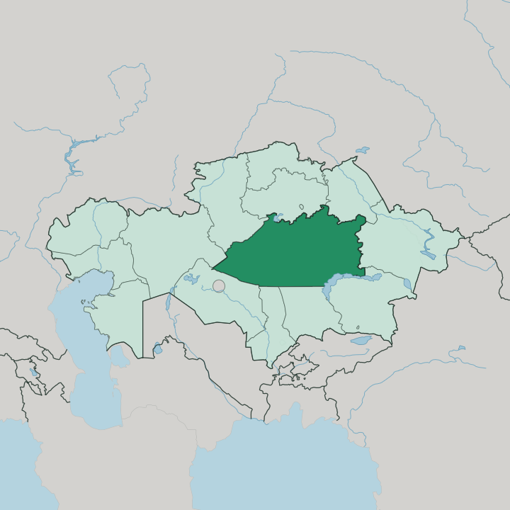
Towns & cities in Qaraghandy Oblysy
Pick a town or city — each links to where to stay.
 Kazakhstan
Karagandy
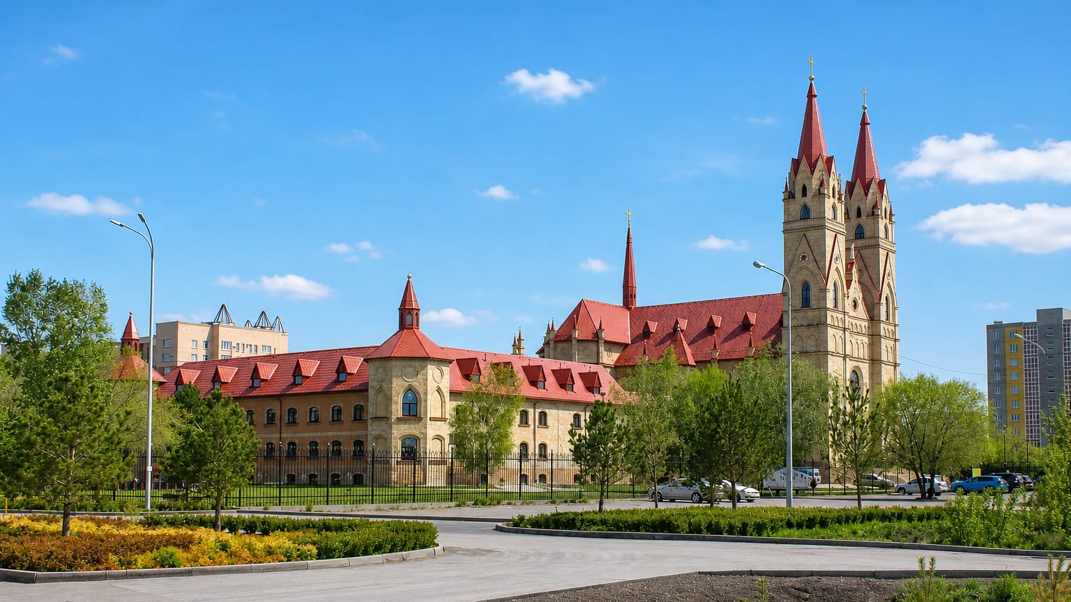
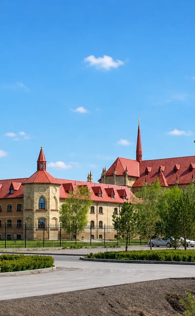
Coal-black spoil ridges frame Karagandy, a mining city on the Central Highlands of Kazakhstan, known for its Soviet-built centre and the wide steppe.Where to stay →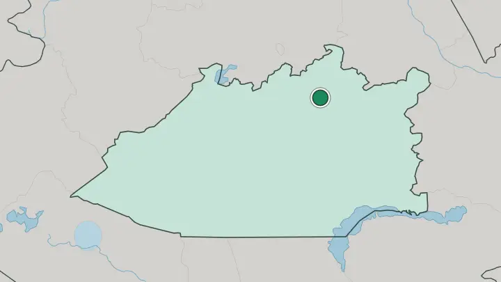
About Qaraghandy Oblysy
Coal built this region.
What is Qaraghandy Oblysy known for?
Qaraghandy grew from a shepherd's chance find of coal in 1833 into one of the Soviet Union's great mining basins, and its capital Karaganda still anchors the whole of central Kazakhstan. Nearby Temirtau runs the country's biggest steelworks on the Nura river, while Balkhash smelts copper on the shore of its namesake lake. Beyond the industrial towns the land opens into the Saryarka steppe, broken only by the granite hills and pine woods of Karkaraly.
Where is Qaraghandy Oblysy?
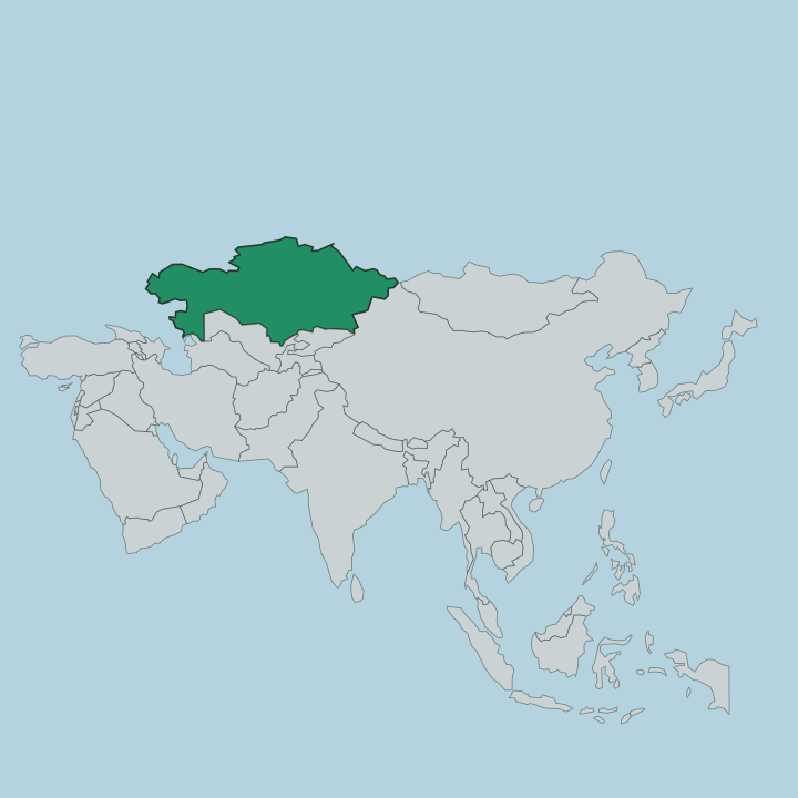
Qaraghandy Oblysy fills the middle of Kazakhstan, the largest of the country's regions by area. Most of it lies within the Kazakh Uplands, the eroded belt of low ranges and broad basins that Kazakhs call the Saryarka. The land is dry.
Flat steppe runs to every horizon, cut by seasonal streams and studded with rocky hills that rise like islands from the plain. Out of that flatness lift a handful of granite massifs, the best known being Karkaraly and Kent, their peaks crowned with pine and birch above the treeless grassland. The Nura is the region's main river, rising in the uplands and winding northwest past Temirtau and Karaganda before it drains into the endorheic Lake Tengiz beyond the region's edge.
To the far southeast the steppe finally meets water at Lake Balkhash, the second-largest lake in Kazakhstan and half fresh, half salt along its length. Karaganda sits near the centre of it all, on the open steppe at more than five hundred metres above the sea. Distances here are vast.
The copper town of Balkhash lies a long day's drive from the capital, and much of the region between is empty grazing land, the traditional range of nomadic herders for centuries before the mines came.
What is Qaraghandy Oblysy like?
Two peoples fill the towns here in near-equal measure. Kazakhs make up a little over half the region, Russians roughly a third, and the mix is no accident. It was forged.
Karaganda grew as a Soviet industrial project, and the mines and steelworks pulled in workers from across the union, so both Kazakh and Russian fill its streets. The German thread is older and darker: after the war, Stalin deported whole communities of ethnic Germans to this steppe, and Karaganda long held one of the largest German populations in Kazakhstan. That layered past sits alongside an older Kazakh culture of the open range, of horses and herding on the Saryarka grass.
Memory weighs heavily on the region. The steppe around the capital was ringed with labour camps, and the Karlag museum at Dolinka and the memorial stones at Spassk now mark what happened there. The city itself wears its Soviet bones plainly, in wide avenues and mining monuments.
Yet the country beyond is old Kazakhstan, unbroken grassland where the granite of Karkaraly breaks the skyline and the herds still move with the seasons.
What is the history of Qaraghandy Oblysy?
For generations this steppe belonged to nomadic Kazakh herders, and little else. Coal changed that. A shepherd is said to have found it near Karaganda in 1833, and the seams drew first the Russian Empire and then Soviet planners, who turned central Kazakhstan into a mining and metallurgy powerhouse.
The region was formally created in 1932, at the height of that industrial drive. Its darkest chapter came with the Karlag camps, one of the largest networks in the Gulag, whose prisoners worked the same mines and fields that made the region rich.
What is the climate of Qaraghandy Oblysy?
The climate is sharply continental, the weather of a landlocked steppe far from any sea. Winters bite. January days on the Saryarka often stay well below freezing, with hard frosts, wind and blowing snow across the open plain, while July turns long, dry and hot over the same ground.
Spring and autumn are brief bridges between the two extremes. Little rain reaches this far inland, so the grassland stays pale and thirsty for much of the year.
How do you get to Qaraghandy Oblysy?
Most travellers fly into Karaganda. The city's Sary-Arka airport sits southeast of the centre and links the region to the wider country and beyond. Karaganda also lies on the main north-south railway of central Kazakhstan, so trains reach it from the capital Astana in a few hours and from cities further afield.
Once here, distances open up fast, and reaching Balkhash on its lake or the Karkaraly hills means long drives across the steppe.
Good for
Updated July 2026