Nigeria
Akwa Ibom State, Nigeria — Towns & Travel Guide


Akwa Ibom is a coastal state in south-eastern Nigeria, named for the Qua Iboe River and edged by the longest sand beach in West Africa.
About Akwa Ibom State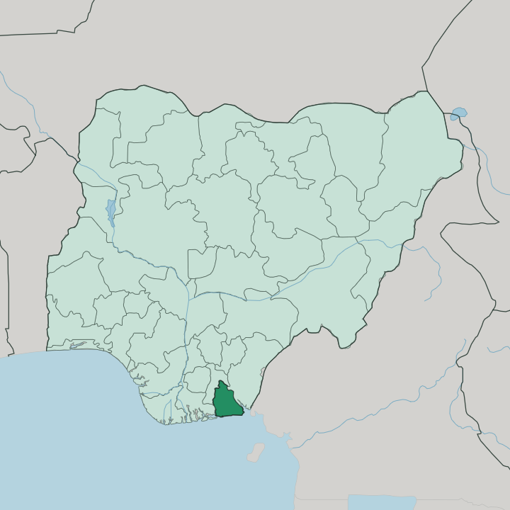
Towns & cities in Akwa Ibom State
Pick a town or city — each links to where to stay.
Uyo is the natural first base. It is the capital of Akwa Ibom, and the airport and most hotels sit close by, which makes it the easiest place to land and get your bearings before anything else. Eket is the other main option, an oil town on the Qua Iboe River where ExxonMobil runs its Nigerian operations and serviced apartments follow the corporate trade.
For the coast, head to Ibeno, where beds thin out but the Atlantic sand runs 30 kilometres toward James Town. Inland lies Ikot Ekpene, the Annang raffia town. Choose the coast or the craft towns when you want the state's slower side.
About Akwa Ibom State
What is Akwa Ibom State known for?
Oil made Akwa Ibom's name. It pumps more crude and gas than any other state in Nigeria, from wells offshore and around Eket, where ExxonMobil runs its Nigerian operations. The coast is the other draw, and Ibeno Beach unspools for some 30 kilometres along the Atlantic, the longest stretch of sand in West Africa.
Uyo, the capital, is the place most trips begin.
Where is Akwa Ibom State?
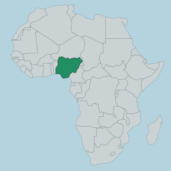
Akwa Ibom sits in the far south-east of Nigeria, on the coast where the Niger Delta gives way to the open sea. The Atlantic forms its whole southern edge. The Qua Iboe River, which gives the state its name, cuts down through the middle of it and empties into the Bight of Bonny, the eastern corner of the Gulf of Guinea. Cross River State lies to the east, and Rivers and Abia states to the west and north-west.
Across Akwa Ibom the ground lies low and level. Mangrove and swamp forest crowd the tidal creeks near the shore, then rise inland to rainforest and pockets of savanna on the higher ground. Sandy barriers break the coastline where the rivers reach the sea.
Uyo stands inland at the centre, the capital and the busiest of the towns, while Eket sits south toward the oilfields and Ibeno strings out along the beach. Water shapes almost everything here, from the fishing creeks to the ports planned along the deep-water coast.
What is Akwa Ibom State like?
This is Ibibio country above all. The Ibibio are the majority people of Akwa Ibom, and their language and customs set the tone, alongside the closely related Annang and Oron peoples who share the state. Masquerade sits at the heart of the old culture.
The Ekpo society brings out carved wooden masks representing ancestral spirits, and the Ekpe society, once a governing brotherhood across the whole region, kept order and carried the secret Nsibidi script that its senior members alone could read. Food carries the same identity. Afang soup, thick with forest afang leaves and waterleaf, is the dish the Ibibio and Efik are known for, cooked for weddings and burials as much as for an ordinary meal.
Craft runs strong too, and Ikot Ekpene has worked raffia and cane into mats, baskets and hats for so long that it goes by the raffia city. English is the working language across Akwa Ibom, as it is in the rest of Nigeria, but Ibibio is what you hear in the markets and the compounds. Music, dance and the drum still mark the festivals here.
What is the history of Akwa Ibom State?
The state is young. The Ibibio pressed for their own homeland for decades, first through the Ibibio Union founded in the 1920s, arguing that they had been left out while others were granted states. That wish was met in 1987, when the military government split Akwa Ibom off from Cross River State and made Uyo its capital.
The name was taken from the Qua Iboe River that runs through it. Its people had lived on this land long before any border was ever drawn across it.
What is the climate of Akwa Ibom State?
Akwa Ibom is warm and very wet. It sits in the tropical rainforest belt, and the rains run long, from about March into November, with only a short break in the driest months. The Atlantic coast in the south soaks up the most, well over four metres of rain a year, easing off toward the drier north of the state.
Heat holds steady the year round rather than swinging with the seasons. Bring rain cover for most of the year.
How do you get to Akwa Ibom State?
Most visitors fly into Uyo. Victor Attah International Airport, north-east of the capital, is the state's air gateway, and Ibom Air links it to Lagos, Abuja, Calabar and Enugu in about an hour and a quarter each. The drive into central Uyo from the airport takes around forty minutes.
Overland, roads run in from Cross River State to the east and from Rivers and Abia to the west and north, the usual way to reach Eket, Ibeno and the coast. There is no passenger rail into the state.
Good for
Updated July 2026