Nigeria
Bauchi State, Nigeria — Towns & Travel Guide


Bauchi State spreads across north-eastern Nigeria, from the Jos Plateau's northern rim out to Yankari's elephant country.
About Bauchi State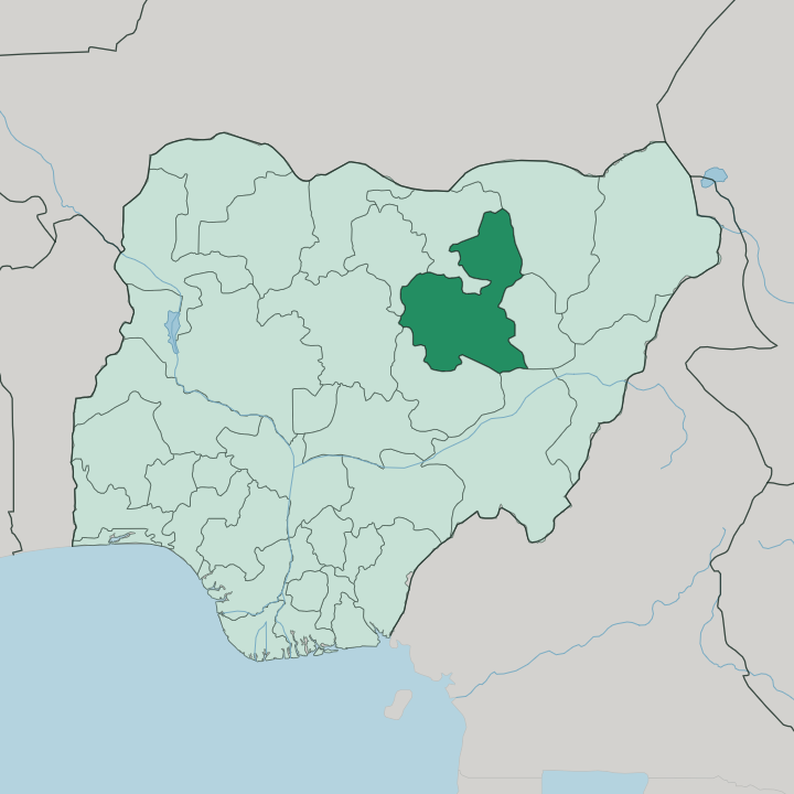
Towns & cities in Bauchi State
Pick a town or city — each links to where to stay.
Bauchi city is the natural base, an emirate town under the Jos Plateau's northern rim and the closest bed to the airport. Yankari is the other pull. Its lodges stand beside the Wikki Warm Springs, deep in the old game reserve, and put you within a morning's drive of the elephants.
Up north, Azare sits out on the Sahelian plains near the Jama'are River, the busiest town of the drier grassland and seat of the Katagum emirate. Choose Bauchi for the capital and the airport; head to Yankari when the springs and the herds are what you came for.
About Bauchi State
Yankari draws the crowds.
What is Bauchi State known for?
The old game reserve in the south holds the largest surviving elephant herd in Nigeria, along with the Wikki Warm Springs, where a clear pool runs warm enough to swim year round. Bauchi city anchors the state at the northern edge of the Jos Plateau, an emirate town wrapped by the remains of a mud wall Yakubu raised two centuries ago. The state also gave Nigeria its first Prime Minister.
Abubakar Tafawa Balewa was born in a small town in its southern hills.
Where is Bauchi State?
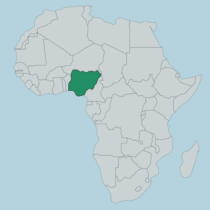
Bauchi State fills a broad stretch of north-eastern Nigeria, one of the largest of the country's states by area. It is landlocked and far inland. Six states hem it in: Jigawa to the north, Yobe to the north-east, Gombe to the east, Taraba and Plateau to the south, Kaduna to the west and Kano to the north-west.
The land tilts from dry plains in the north down onto higher ground in the south-west. There the montane country of the Bauchi Plateau rises as a continuation of the Jos Plateau, and Bauchi city itself sits on that plateau's northern edge, high enough that its nights turn cool. Vegetation changes as you cross the state.
The south wears the taller grass and scattered trees of the West Sudanian savanna, while the north dries into the thorn and open plain of the Sahelian savanna. Two rivers order the drainage. The Gongola River crosses the southern and eastern country, and the Jama'are River threads the plains of the north.
Yankari's woodlands and springs lie in the south-central belt, low and warm below the highland edge. It is inland country from rim to rim.
What is Bauchi State like?
Bauchi is a plural place. Some tallies count fifty-five ethnic groups within its borders, and the mix shows in its markets, its music and its many tongues. Hausa and Fulani people set the dominant pattern, and their language, Hausa, is the one that carries across the whole state and its trade.
Smaller peoples hold the southern hills. There the Sayawa, Jarawa and dozens of related communities speak Chadic languages of their own, some down to a few thousand speakers, pressed by the pull of Hausa around them. Islam and the emirate order shape daily life across the plains, a legacy of the jihad that swept through in the early nineteenth century.
Two contests draw crowds like nothing else. Kokowa, the traditional wrestling, and Dambe, the bare-fist boxing, pull competitors from across the northern states and even neighbouring countries. Palace ceremony still matters.
The emir's durbar, with its ranks of robed horsemen, marks the great festivals in Bauchi and the other emirate towns. Kanuri traders and herders add another thread up in the north-east. It is a northern Nigerian culture, but never a single one.
What is the history of Bauchi State?
The story turns on Yakubu. In 1809 he took the sparsely wooded plains here for Usman dan Fodio's jihad and founded Bauchi as the seat of a new emirate under the Sokoto Caliphate, raising a defensive wall around the young town. British rule folded the emirate into Northern Nigeria late in the century.
The modern state is younger: it was carved out in 1976 from the old North-Eastern State, and in 1996 its eastern half split away to become Gombe State.
What is the climate of Bauchi State?
Bauchi's year falls into two halves. Rain gathers through the middle of the year and peaks in August, greening the savanna, swelling the Gongola River and turning the southern roads to mud. Then it stops.
From November to February the dry season opens the traveller's window, skies clearing and the tracks into Yankari firming up underfoot. December brings the harmattan. That dusty northeast wind off the Sahara hazes the daytime air and drops the plateau nights to their coolest of the year.
How do you get to Bauchi State?
Two ways in dominate. A short domestic flight lands at Sir Abubakar Tafawa Balewa International Airport, just outside the capital and linked to Lagos, Abuja and Kano; the rest come overland. The classic road approach climbs from Jos, roughly 130 kilometres of plateau highway running up from the south-west, with other routes feeding in from Gombe to the east and Kano to the north-west.
Buses run these corridors daily. Reaching Yankari means a further drive south-east from Bauchi city to the reserve gate.
Good for
Updated July 2026