Nigeria
Gombe State, Nigeria — Towns & Travel Guide


Gombe State is a savanna region of north-eastern Nigeria, built around the city of Gombe and the Gongola River.
About Gombe State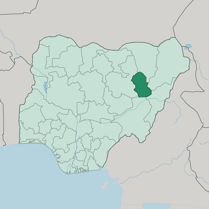
Towns & cities in Gombe State
Pick a town or city — each links to where to stay.
The city of Gombe holds almost all the state's beds. Its hotels cluster in the government reservation area and along the roads out toward the airport at Lawanti. Kumo, south-west along the Bauchi road, and Kaltungo, down in the hills, offer far simpler rooms for travellers heading to the warm springs or the Tangale country.
North of the capital the towns thin out fast. Dukku, Nafada and Bajoga are farming and market places rather than places to sleep, so most trips run out and back from Gombe in a single day. Stay in the city for comfort.
Move south only for the hills.
About Gombe State
What is Gombe State known for?
Gombe State sells itself as the Jewel in the Savannah, and that open grassland is the reason why. The Gongola River drains its north and east into the reservoir behind the Dadin Kowa Dam, a broad sheet of water in an otherwise dry land. Its south rises into the Muri Mountains and the Tangale Hills around Kaltungo, where warm springs and volcanic outcrops draw walkers.
The city of Gombe anchors it all. Farms of sorghum, maize and groundnuts fill the plains between.
Where is Gombe State?
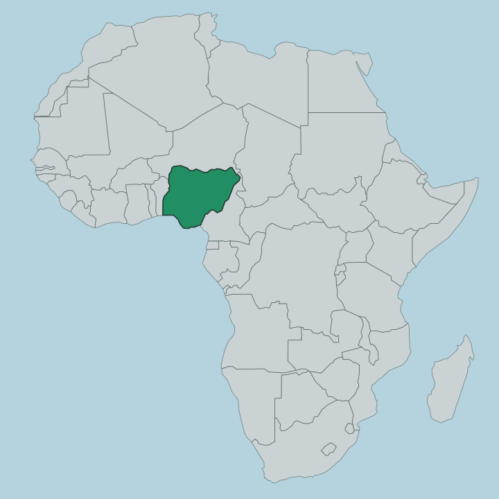
Gombe State sits in north-eastern Nigeria, one of the smaller states by area and a fusion of two very different halves. It lies in the tropical West Sudanian savanna, a belt of grass and scattered trees that runs clear across this part of the country. Bauchi State borders it to the west, the state it was carved out of. Borno and Yobe lie to the north and north-east, Taraba to the south, and Adamawa to the south-east.
Much is undulating plain. Water and relief split the state in two. The Gongola River threads the northern and eastern lowlands before pooling behind the Dadin Kowa Dam, whose reservoir is the largest body of water for a long way.
Away to the south the ground climbs into the Muri Mountains and the Tangale Hills around Kaltungo, a country of volcanic rock, caves and warm springs that feels nothing like the flat north. The city of Gombe stands near the centre, on the higher ground between river and hills, and every road in the state seems to bend toward it. That divide between plain and upland shapes almost everything here, from the crops in the fields to the peoples who farm them.
What is Gombe State like?
Gombe is really two societies sharing one map. The Fulani hold the northern and central plains, herding cattle and farming grain, and their emirate at Gombe gives the north its Muslim, Hausa-speaking character. Down in the southern hills the picture changes completely.
There the Tangale, Waja, Tera and a dozen smaller peoples live around Kaltungo and Billiri, many of them Christian, each with its own tongue. Hausa works as the common language across the markets and motor parks, the trade speech that lets the two halves deal with each other. Islam and Christianity live side by side, roughly two-thirds to one-third, and the mix is worn lightly in daily life.
Traditional rulers still matter here. The Emir of Gombe presides in the capital while the chiefdoms of the south keep their own festivals, drumming and hill shrines alive. Craft, cattle and grain run through all of it.
What ties the halves together is the land itself, the same savanna feeding herders in the north and hill farmers in the south.
What is the history of Gombe State?
The state's oldest thread runs back to 1804, when Buba Yero, a follower of Usman dan Fodio, founded the Gombe Emirate as an arm of the Sokoto Caliphate. Its capital shifted more than once. War and British encroachment pushed it from the old headquarters to Nafada and finally, in 1919, to the site of the present city of Gombe.
The southern chiefdoms of Kaltungo and the Tangale hills kept their own path outside the emirate. State lines came far later. Gombe State was cut from Bauchi State in 1996, joining the emirate north and the hill south under one government at last.
What is the climate of Gombe State?
Two seasons rule here. The rains fall from April to October, greening the savanna and filling the Gongola River, and the dry months from November to March bake the plains a dusty brown. Harmattan winds blow down off the Sahara in the heart of the dry season, hazing the sky and cooling the nights.
Rain is modest for the tropics, most of it landing in a few big storms rather than steady drizzle. Come in the dry months for the hills; come in the wet for green country.
How do you get to Gombe State?
Most travellers reach Gombe by air or by the Bauchi road. Gombe Lawanti International Airport, out at Lawanti west of the capital, runs domestic flights that link the state to Abuja and the rest of Nigeria. Overland, the trunk road from Bauchi State carries the traffic across the savanna into the city of Gombe.
From there local roads fan out to Kaltungo and the southern hills, to Dukku and Nafada in the north, and down to the Dadin Kowa Dam. Rail plays little part.
Good for
Updated July 2026