Nigeria
Imo State, Nigeria — Towns & Travel Guide


Imo State is the Igbo heartland of south-eastern Nigeria, named for the Imo River and built around its capital, Owerri.
About Imo State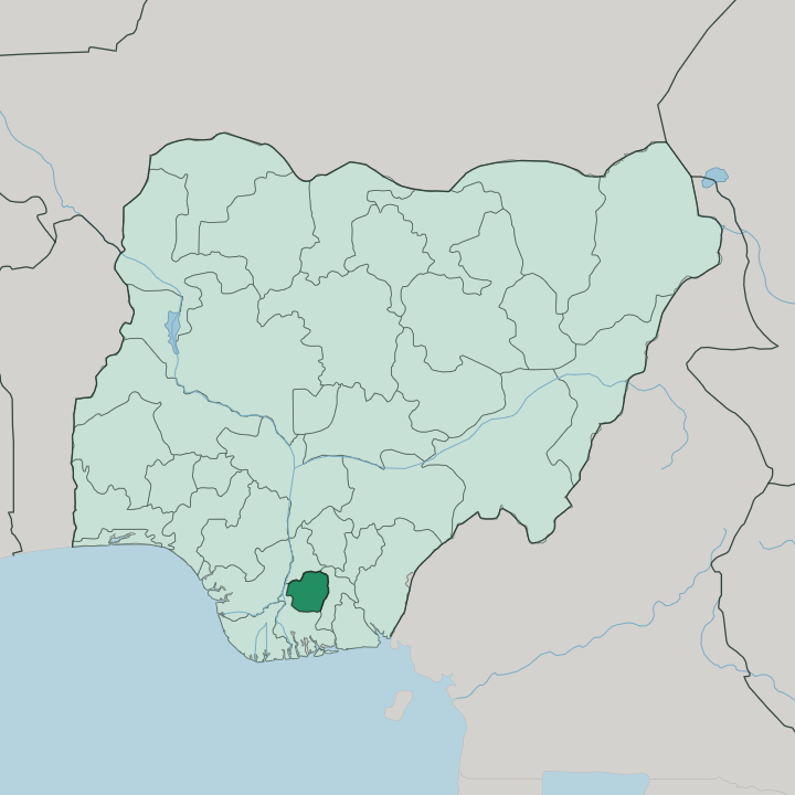
Towns & cities in Imo State
Pick a town or city — each links to where to stay.
Owerri is the natural base. The capital holds the state's hotels and its nightlife, strung along the Otamiri River, and most trips into Imo begin there. West of the capital sits Oguta, the lakeside town beside Oguta Lake where boats put out onto the water.
Orlu, the second city, anchors the palm-growing towns of the western zone. Beds thin out fast once you leave Owerri, so plan the capital as your base and take the lake and the western towns as day trips.
About Imo State
Imo calls itself the Eastern Heartland.
What is Imo State known for?
It is one of the smallest and most densely settled states in Nigeria, a compact stretch of Igbo country in the south-east named for the Imo River along its eastern edge. Owerri, the capital, is the draw for most visitors, a lively city of hotels, bars and nightlife that has earned it a reputation as one of the region's great party towns. West of it lies Oguta Lake, the largest natural lake in the state and its quiet counterweight.
Palm oil built the old economy here, and the palm groves still fringe the towns.
Where is Imo State?
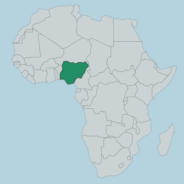
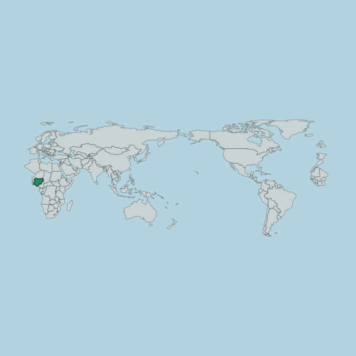
Imo sits in the south-east of Nigeria, one of the country's smallest states by area and among its most crowded. It is Igbo country, a compact inland block with no coast of its own. Anambra State borders it to the north, Abia State to the east, and Rivers State wraps around it to the west and south. The Imo River gives the state its name and runs down the whole eastern boundary, the natural line between Imo and Abia before it carries on south to the Atlantic.
Water shapes the interior too. The Otamiri River rises near Egbu and runs south past Owerri through Nekede and Ihiagwa, and out toward Rivers State, while the Njaba feeds Oguta Lake in the west. That lake is the largest natural body of water in the state, a long finger of water penned back by river silt.
The land splits between two kinds of forest. Niger Delta swamp forest reaches into the far south and west near Oguta, low and wet where the rivers spread out, and drier transition forest covers the rest of the state on higher, gently rolling ground. Owerri stands roughly in the middle of it all.
It is a short country, easily crossed in a day, but a busy one.
What is Imo State like?
Imo is Igbo through and through. The Igbo people have farmed this land for generations, and their language is spoken in the markets, the churches and the compounds across every town in the state. Owerri sets the social tone.
The capital's hotels, bars and open-air spots have given it a name across Nigeria for nightlife, and weekends there run late. Christianity is nearly universal now, and the older Odinani beliefs sit underneath it, so a Sunday of packed churches can give way to a masquerade or a title ceremony rooted in much older practice. Art has a home here.
The Mbari houses of the Owerri area were raised as gifts to the earth goddess Ala, mud-sculpture shrines crowded with painted figures, and the Mbari Cultural Centre in the capital keeps that tradition on show. Music, dance and the big family festivals matter more than any single monument. Yam is the crop that carries the deepest weight, and the new-yam feasts still mark the farming year.
It is a state that lives outdoors and in company. Come for the people first.
What is the history of Imo State?
Imo State was carved out in 1976, one of the new states created under the military government of Murtala Muhammed. Its ground has a far longer story. The Igbo have lived here for centuries, and it was women of this region who led the Aba tax protests of 1929 against British colonial rule.
A generation later the land became part of secessionist Biafra, and the Nigerian Civil War of the late 1960s ground through these towns. Abia State was later split away from Imo, leaving the smaller state on the map since.
What is the climate of Imo State?
Imo runs hot and humid all year, a tropical state where the calendar is split by rain rather than temperature. The long wet season stretches from around April into October, when heavy storms swell the Otamiri and the Imo River and green the palm groves. Dry months follow.
From December into February the harmattan blows down off the Sahara, dusty and hazy, dropping the humidity for a while. It is warm whatever the month, and the rains are the thing to plan around.
How do you get to Imo State?
Most visitors fly into Owerri. Sam Mbakwe International Airport sits a short drive from the capital and runs flights to Lagos and Abuja, the usual way into the state for anyone coming from outside the region. From Owerri, the highways carry you onward, north into Anambra State and east across the Imo River into Abia State.
Federal highways link Owerri north to Anambra State and east across the Imo River into Abia State, and shared taxis and buses run between the towns. Inside Imo the distances are short, so the capital works as a hub for the lake and the western towns alike.
Good for
Updated July 2026