Nigeria
Zamfara State, Nigeria — Towns & Travel Guide


Zamfara State fills the dry savanna of north-western Nigeria, where the Zamfara River runs west toward the Sokoto and Gusau anchors the plain.
About Zamfara State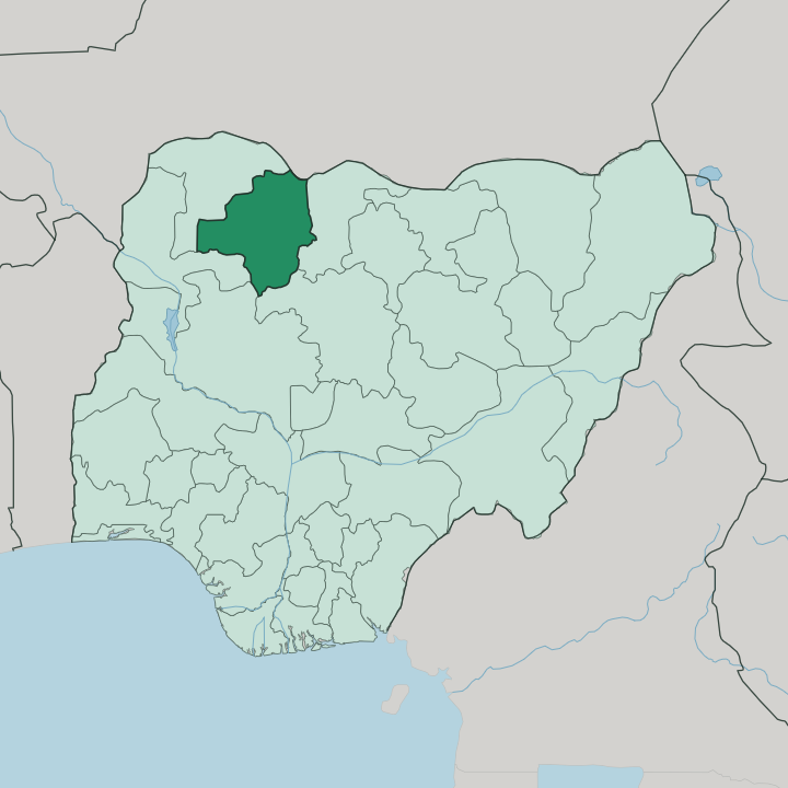
Towns & cities in Zamfara State
Pick a town or city — each links to where to stay.
Gusau is the practical base for almost any trip into Zamfara. The capital holds the state's guest inns and its only real cluster of rooms, strung along the Sokoto bypass and the roads out toward the market. Beyond it, beds thin out fast.
Kaura Namoda, the old rail terminus in the north-east, keeps a modest handful of lodgings and a federal polytechnic that brings visitors through. Talata Mafara and Anka, out on the farming and mining plains, offer little more than local guest houses. Stay in Gusau if you want somewhere to return to each night; venture out to the smaller towns only when the road, the market or the mines are the reason you came.
About Zamfara State
What is Zamfara State known for?
Farming is the pride here, and the state says so on its own crest. Millet, sorghum, groundnuts and cotton grow across the savanna, and cattle move between the rivers with the Fulani herders who tend them. Gusau, the capital, sits on the Sokoto River and grew into a trading town once the railway reached it from the south.
Gold changed the story later. Mining spread through the western districts around Anka and Maru, drawing prospectors into land that had known only crops and herds.
Where is Zamfara State?
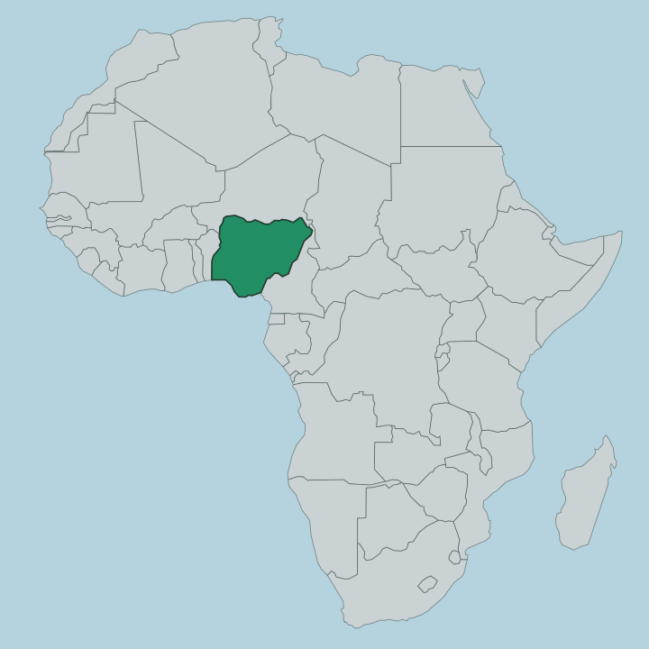
Zamfara lies in the far north-west of Nigeria, in the dry Sudan savanna that stretches toward the Sahel. Its northern edge meets the Republic of Niger along a short land border. Nigerian neighbours ring the rest of it: Katsina to the east, Sokoto and Kebbi to the west, and Kaduna and Niger State to the south.
The land is flat and low, an open plain of grass and scattered trees broken by seasonal watercourses. Water gives the plain its shape. The Zamfara River rises inside the state and runs west, gathering the wet-season flow before it crosses into Kebbi State and joins the Sokoto River.
The Sokoto itself passes Gusau, where a dam holds back a reservoir for the capital, then curves north-west out of the state toward the old caliphate city of Sokoto. Rivers matter more than height here. There are no mountains to speak of, only the wide savanna and the rivers that thread across it, and the towns and herds have always clustered where the water runs.
What is Zamfara State like?
Zamfara is Hausa country, and the language is heard in every market and mosque across the state. The Hausa make up most of the population, farming the plain in settled villages, while Fulani families keep cattle and gather thickest around Bungudu, Maradun and Gusau. Islam orders daily life.
Zamfara was the first Nigerian state to adopt Sharia law, and the call to prayer sets the rhythm of the towns as surely as the farming seasons do. The old towns wear their history plainly. Gusau began as a settlement founded near the close of the eighteenth century by a follower of Usman dan Fodio, the scholar whose jihad reshaped the whole region.
Trade and craft still turn on the weekly markets. Grain and cattle change hands there alongside worked leather and dyed cloth. Culture here is rural and Muslim to its core.
It lives in the herds and the millet fields, in the emirs' councils at Gusau, Anka and Kaura Namoda, and in a way of life bound to the savanna far more than to any city.
What is the history of Zamfara State?
The name is old, carried by a Hausa kingdom that held this stretch of savanna for centuries before the modern state existed. That kingdom fell into the orbit of the Sokoto Caliphate after Usman dan Fodio's jihad of 1804 swept the Hausa lands. For most of the twentieth century the area was simply part of Sokoto.
The modern state is young. Zamfara was carved out of Sokoto State in 1996 and given Gusau as its capital, drawing a fresh border around the old kingdom's heartland.
What is the climate of Zamfara State?
Zamfara has a tropical savanna climate, hot and split sharply between wet and dry. The rains fall from late May into September, greening the millet and sorghum fields and filling the Zamfara River. Heat peaks hard.
Between March and May the plain bakes past 38 degrees before the storms break. From December into April the dry harmattan blows down off the Sahara, carrying dust that hazes the sky and cools the nights across the savanna.
How do you get to Zamfara State?
Roads carry most arrivals. Travellers reach Zamfara overland, converging on Gusau from the neighbouring cities of the north-west, where the capital's highways link it to Sokoto, Katsina and the wider region and a small airport handles the occasional flight. The old railway from Zaria once ran up to Kaura Namoda in the north-east, and it shaped where the towns grew.
From Gusau the roads fan out across the plain toward Talata Mafara, Anka and the border districts near the Republic of Niger.
Updated July 2026