Syria
Hama Governorate, Syria — Towns & Travel Guide


Hama Governorate spreads across west-central Syria, from the wooden water wheels turning on the Orontes at Hama to the Ghab Plain and the eastern steppe.
About Hama Governorate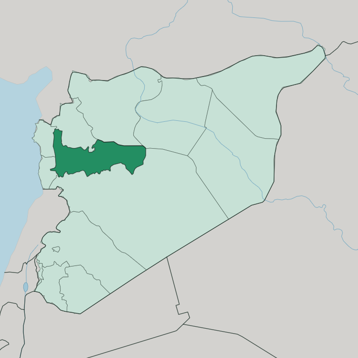
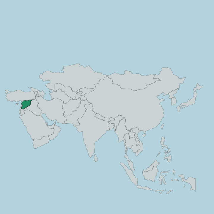
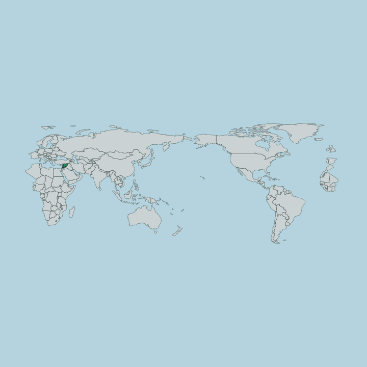
Towns & cities in Hama Governorate
Pick a town or city — each links to where to stay.
Hama itself is the natural base, the capital strung along the Orontes where the norias creak beside the old riverside quarters. From there the governorate splits by terrain. West of the city, Masyaf climbs into the coastal-range foothills below the castle of the Nizari Ismaili order, and its higher ground stays cooler through the summer.
East and south, Salamiyah sits at the steppe edge, the largest Ismaili town in the Arab world and the closest base for the desert ruins at Qasr Ibn Wardan. Choose Hama for the water wheels; choose Masyaf or Salamiyah when you want the mountains or the steppe.
About Hama Governorate
The water wheels define it.
What is Hama Governorate known for?
Seventeen wooden norias still turn on the Orontes in Hama, groaning as they lift river water into stone aqueducts, and the largest among them has spanned twenty-one metres across since the fourteenth century. Beyond the capital, the governorate keeps some of Syria's greatest ruins. The Roman colonnade at Apamea runs for nearly two kilometres, and the castle at Masyaf once held the Nizari Ismaili order the Crusaders called the Assassins.
Salamiyah, out on the steppe edge, remains the heartland of that same Ismaili community.
Where is Hama Governorate?
Hama Governorate fills the middle of Syria, west of centre. It is landlocked on every side. Idlib and Aleppo Governorates lie to the north, Raqqa Governorate to the east, Homs Governorate to the south, and Tartus and Latakia Governorate close it off to the west.
Alone among the provinces outside Damascus, it touches no foreign border at any point. Three bands of country run across it. Along the western edge rise the Syrian Coastal Mountain Range, the Nusayriyah heights that separate the interior from the sea beyond.
Below them, and roughly parallel, stretches the Ghab Plain, a long trench of drained marsh and irrigated farmland threaded by the Orontes as the river flows north out of Homs Governorate. The Orontes is the spine of the whole province, and Hama, Mahardah, and the ruins of Apamea all stand on or beside it. East of the river the land flattens and dries.
Fields give way to open steppe and then to the fringe of the Syrian Desert, where Salamiyah marks the last real town and Qasr Ibn Wardan sits far out on the bare ground. That drop from wet mountain to dry steppe, west to east, is the governorate's basic shape.
What is Hama Governorate like?
Faith draws the map of who lives here. A Sunni Muslim majority farms the Orontes valley and fills the capital, but the governorate holds one of Syria's more layered religious mixes. Alawites cluster in and below the western mountains around Masyaf, where the Nusayriyah heights have sheltered the sect for centuries.
Salamiyah anchors the country's Ismaili community, the largest in the Arab world. Mahardah, out toward the Ghab Plain, is a town of Greek Orthodox Christians, its churches standing among older Christian ruins. Arabic is the common tongue across all of them.
Hama city carries a reputation apart. Long known as one of the more conservative and pious towns of the interior, it wraps its life around the river and the sound of the norias, whose groaning timber is written into the place's own name. The wider province lives off that same water.
Wheat, cotton, and sugar beet grow across the irrigated Ghab, and orchards climb the lower mountain slopes. Between the pilgrim-scale antiquity of Apamea and the working farm towns, the governorate feels less like a single culture than a set of communities sharing one river.
What is the history of Hama Governorate?
People have worked this river valley since the Iron Age. Empires stacked up here. Hama grew into an important town under the Assyrians, and later the Greeks and Romans planted their own city at Apamea, whose colonnaded main street once ran arrow-straight for nearly two kilometres.
The Byzantines left the desert palace of Qasr Ibn Wardan in the sixth century, far out on the eastern steppe. Medieval writers already described water wheels turning at Hama by the ninth century, though the norias that survive belong to the Ayyubid age of Saladin and after. In the twelfth century Rashid ad-Din Sinan ruled the Syrian Nizari Ismailis from the castle at Masyaf.
Wave after wave of power passed through, and each left something standing on the Orontes.
What is the climate of Hama Governorate?
Summers here run hot and rainless. The governorate sits in the transition between the Mediterranean coast and the interior, so the western mountains around Masyaf catch far more winter rain than the steppe around Salamiyah, which slides toward true desert dryness. Winters are mild and wet in the valley, cold enough for frost on the higher Nusayriyah slopes.
Most of the year's rain falls between autumn and early spring, and the Orontes and its irrigation carry the Ghab Plain's farms through the long dry stretch. East of the river, the green thins fast.
How do you get to Hama Governorate?
Hama has no working commercial airport of its own. Travellers reach the governorate overland, most often up the highway that runs the length of the Orontes corridor, linking Homs to the south with Aleppo to the north and passing straight through Hama. From the capital, local roads branch west into the mountains toward Masyaf and east across the plain toward Salamiyah and the desert sites.
It is a road journey. The river valley has been the main route through this part of Syria since antiquity, and the modern highway simply follows it.
Good for
Updated July 2026