Syria
Latakia Governorate, Syria — Towns & Travel Guide


Latakia Governorate holds half of Syria's Mediterranean coast, a plain of citrus and tobacco backed by the Coastal Mountain Range.
About Latakia Governorate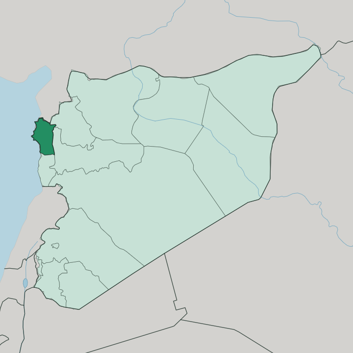
Towns & cities in Latakia Governorate
Pick a town or city — each links to where to stay.
Latakia is the obvious base. The port city carries the coast's best spread of hotels and a beachfront that fills right through the long, hot summer. Jableh sits half an hour south and stays quieter, with a Roman theatre still standing near the shore.
Higher up, Qardaha and the Armenian town of Kessab near the Turkish border swap sand for pine forest and cool mountain nights. Choose Latakia if you want sea and city at once; choose the mountains when the coast turns hot.
About Latakia Governorate
This is the sea gate of Syria.
What is Latakia Governorate known for?
Latakia, the capital, works the country's busiest port, and its beaches make it the coast's main summer draw. Inland, the Coastal Mountain Range climbs to Nabi Yunis at 1,562 metres, its western slopes catching the sea's damp air and feeding orchards of citrus, olives, and tobacco. Just north of the port lie the ruins of Ugarit, where Bronze Age scribes cut one of the earliest alphabets into clay.
Where is Latakia Governorate?
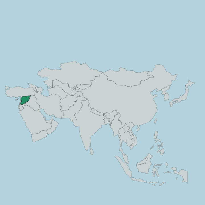
The governorate occupies the far north-western corner of Syria, along the Mediterranean. The sea forms its whole western edge, and roughly half of Syria's coastline falls within it. Turkey's Hatay Province lies over the northern border, the governorates of Idlib and Hama sit to the east, and Tartus Governorate runs south down the same shore.
Two landscapes divide the territory. A narrow coastal plain hugs the water, wide enough for the port of Latakia and the fields that feed it. Behind that plain the land rises sharply into the Coastal Mountain Range, the barrier the Arabs call Jabal an-Nusayriyah, climbing north to south the length of the governorate.
Nabi Yunis crowns the range at 1,562 metres. The western slopes take the brunt of the sea winds, so they stay green while the far eastern side runs drier toward the interior. Rivers are short here.
The Nahr al-Kabir al-Shamali rises in the mountains near the Turkish frontier and cuts west across the plain to reach the Mediterranean just south of Latakia. Everything in the governorate tips, in the end, toward that sea.
What is Latakia Governorate like?
Two lives meet here. Down on the shore, Latakia is a working port that turns to leisure in summer, its seafront cafes and beaches filling with families from across the country. The city is easy and outward-facing, its trade carried over the water for as long as anyone can date.
Up in the Coastal Mountain Range the rhythm slows. Villages such as Qardaha sit among terraced orchards, and the governorate is the heartland of Syria's Alawite community, whose presence has shaped these hills for centuries. Kessab keeps a distinct Armenian identity in the north, its church and its language handed down since families settled the slopes in medieval times.
Arabic ties it together. Food leans on what the plain grows: olives pressed from the coastal groves, citrus, and the tobacco that has long been a mainstay of the fields. The deep past is never far off either.
Ugarit gave the world an early alphabet a short drive from the modern port, and that sense of long inhabitation runs through the whole coast.
What is the history of Latakia Governorate?
The record here is very old. Ugarit, at Ras Shamra just north of the port, was a trading kingdom whose scribes wrote in a cuneiform alphabet by about 1400 BC. The Seleucids refounded the harbour town as Laodicea in the third century BC, and the name softened over the ages into Latakia.
Ottoman rule left the surrounding hills largely Alawite, and after the First World War the French carved a short-lived Alawite State out of this coast under their mandate. The Citadel of Salah ad-Din, high on a ridge inland, still marks the crusader and Ayyubid centuries.
What is the climate of Latakia Governorate?
The coast runs on a Mediterranean pattern. Summers are hot and dry, and the beaches along Latakia carry the season from late spring well into autumn. Winters turn mild and wet, when Mediterranean fronts pile rain against the Coastal Mountain Range and its western slopes soak up the damp that keeps the orchards green.
Climb inland and the air cools fast, so Kessab and the high villages stay fresh while the shore swelters. Snow can cap Nabi Yunis in the cold months.
How do you get to Latakia Governorate?
Most arrivals come through Latakia. The city holds the region's airport and Syria's main seaport, and coastal roads run down from Turkey's Hatay border in the north and up from Tartus Governorate in the south. Inland, a road climbs east over the Coastal Mountain Range toward Aleppo and Hama, though the mountains slow the crossing.
Within the governorate, buses and shared cars link the port with Jableh, Qardaha, and the hill towns. The sea is the old road, and it still shapes how the coast connects.
Good for
Updated July 2026