United States
North Dakota, United States — Towns & Travel Guide


North Dakota is a Great Plains state of farmland, the Missouri River, and western badlands, stretching north to the Canadian border.
Find your area →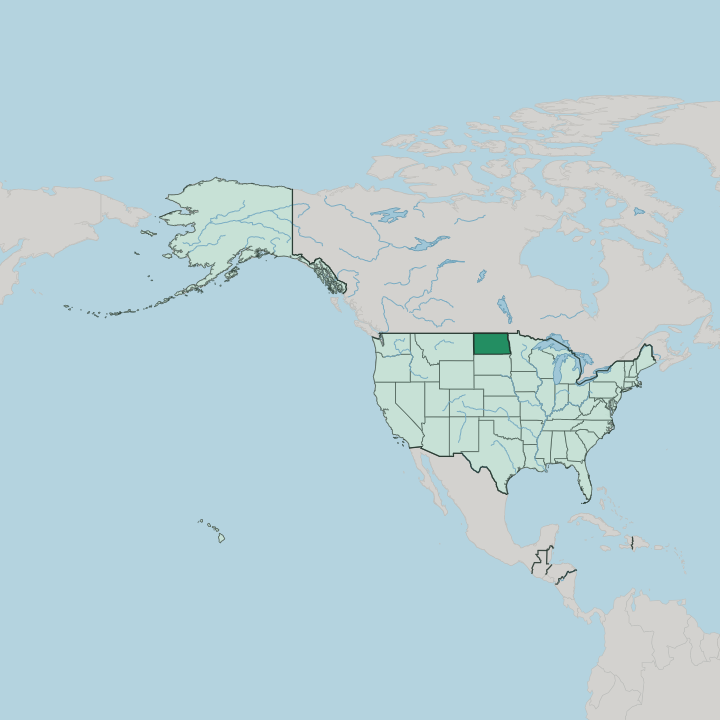
Towns & cities in North Dakota
Pick a town or city — each links to where to stay.
 United States
Fargo
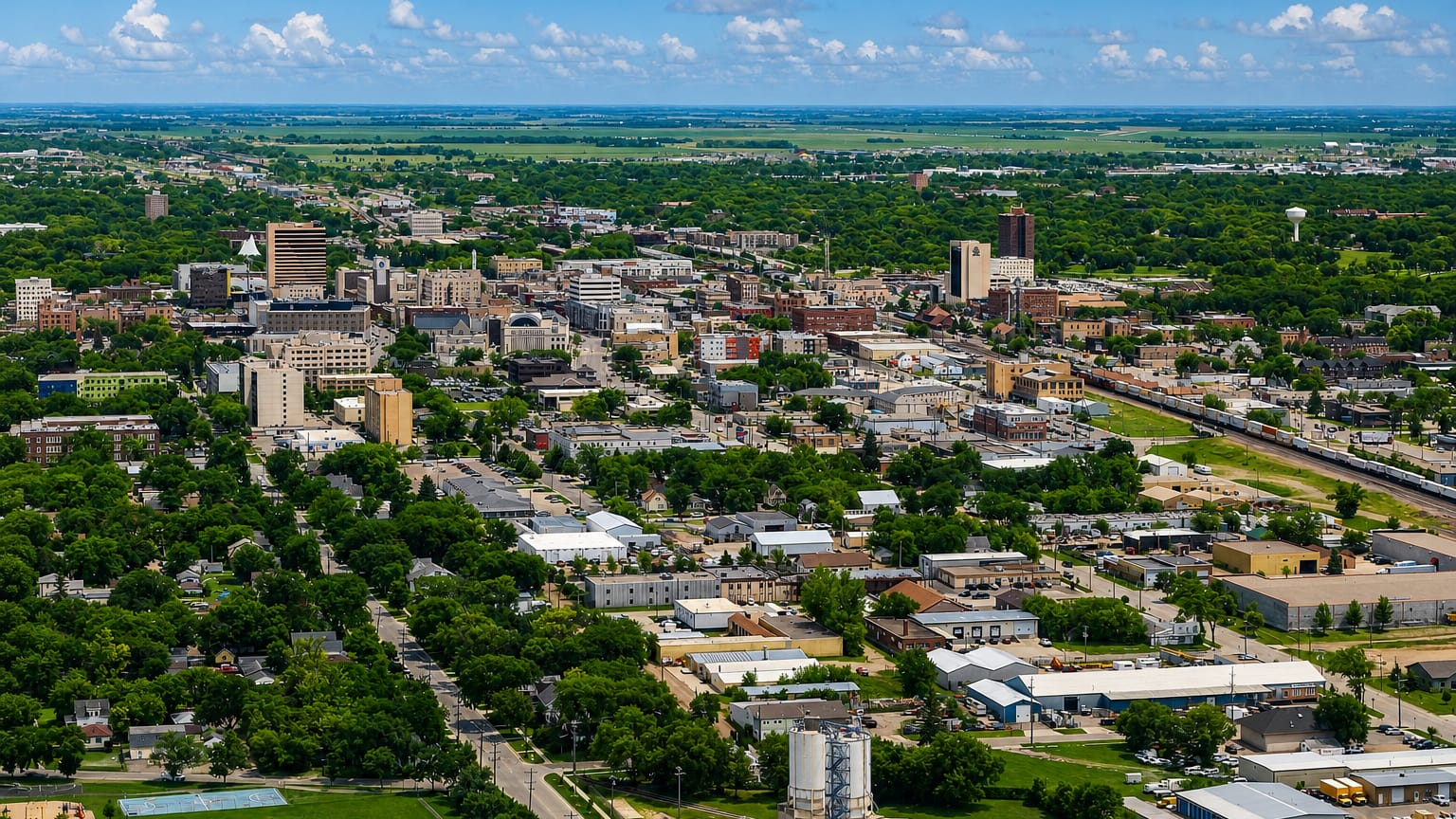
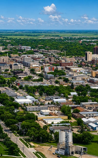
Fargo stands on the Red River in North Dakota, a prairie city at the heart of the Red River Valley, known for its brick downtown and the Plains Art Museum.Where to stay →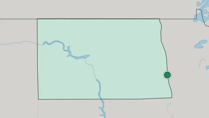
About North Dakota
What is North Dakota known for?
North Dakota is the least-visited state in the country, and that emptiness is the appeal. Its best-known ground is the badlands of the west, where the Little Missouri River has cut buttes and clay draws into the Great Plains, and where Theodore Roosevelt National Park protects bison, wild horses, and open range. The east tells a different story.
There the flat floor of the Red River Valley, once the bed of a glacial lake, holds some of the richest farm soil anywhere. Fargo is the largest city and the cultural anchor. Bismarck, the capital, sits on the Missouri River in the middle of the state.
Where is North Dakota?
North Dakota sits in the Upper Midwest, landlocked in the northern Great Plains. Canada lies along its whole northern edge, where the provinces of Saskatchewan and Manitoba begin. Minnesota is the eastern neighbour, across the Red River. South Dakota runs along the south, and Montana closes the state off to the west.
The land has no mountains and no sea. It rises instead in long, gentle steps from the wet eastern valley toward the dry, high plateau of the west. Three regions divide the state.
In the east lies the Red River Valley, the flat bed of a vanished glacial lake and some of the richest cropland on the continent. West of it the Drift Prairie rolls in low hills pocked with glacial ponds, the prairie potholes that draw migrating birds. Higher still is the Missouri Plateau, cut in its far corner into the badlands, where the Little Missouri River has carved buttes and gorges and where White Butte marks the state's highest ground.
The Missouri River itself swings down through the middle of North Dakota. Behind Garrison Dam it widens into Lake Sakakawea, one of the largest reservoirs in the country.
What is North Dakota like?
Farming shapes daily life here more than in almost any other state. Half the people live in the countryside, and the towns exist to serve the grain that surrounds them. North Dakota leads the country in durum and spring wheat, and its fields also carry canola, flax, and sunflowers that turn the western plains yellow in July.
The settlers who broke that sod came largely from Norway, Sweden, and the German-speaking villages of Russia, following the railroads west across the prairie. Their churches, place names, and cooking still mark the map. Lutefisk and lefse appear at church suppers, and the long-running Norsk Høstfest at Minot grew into the largest Scandinavian gathering in North America.
The state carries the name of the Dakota, and Native history runs deep along the Missouri River. The Mandan and Hidatsa farmed the river bottoms in earth-lodge villages long before the first traders came. It was in one of those villages that the Lewis and Clark Expedition spent the winter of 1804, and there the party first met Sacagawea.
West of the river the country turns to cattle and cowboys. A young Theodore Roosevelt ranched in the badlands before he entered politics, and rodeo weekends, ranch fairs, and the Old West town of Medora keep that frontier feeling alive. English is the everyday language.
What is the history of North Dakota?
North Dakota's recorded story starts on the river. The Mandan and Hidatsa were already farming the Missouri bottoms in earth-lodge towns when the Lewis and Clark Expedition wintered among them in 1804, guided in part by Sacagawea. Fur traders came, then homesteaders, pulled west by cheap land and the railroads.
Dakota Territory was organised in 1861. It was split in two as the Dakota land boom crested, and on 2 November 1889 North Dakota entered the Union as the thirty-ninth state, with Bismarck named its capital.
What is the climate of North Dakota?
North Dakota has a sharp continental climate, the kind that comes with sitting far from any ocean. Winters are long and bitter. Blizzards sweep the open prairie, and cold air pours down from Canada with nothing to slow it.
Summers swing the other way, warm and often hot, with thunderstorms rolling across the plains and just enough rain to raise the wheat. The west, up on the Missouri Plateau, runs drier than the Red River Valley in the east. In North Dakota, spring and autumn barely last.
How do you get to North Dakota?
Most visitors reach North Dakota by air. Hector International Airport at Fargo is the busiest in the state, with Bismarck, Grand Forks, Minot, and Williston also taking flights. Two interstates carry the road traffic: I-94 runs east to west past Bismarck and Medora, and I-29 runs north to south along the Red River toward the Canadian border.
Amtrak's Empire Builder still crosses the north of the state, stopping at Fargo, Minot, and other towns on its run between Chicago and the Pacific coast. Distances are long. A car is all but essential beyond the cities.
Common questions
What is the best area to stay in North Dakota?
Fargo: arriving in North Dakota by air.
Good for
Updated July 2026