United States
Florida, United States — Towns & Travel Guide


Florida is a U.S. state on a peninsula between the Gulf of Mexico and the Atlantic Ocean, in the Southeastern United States.
Find your area →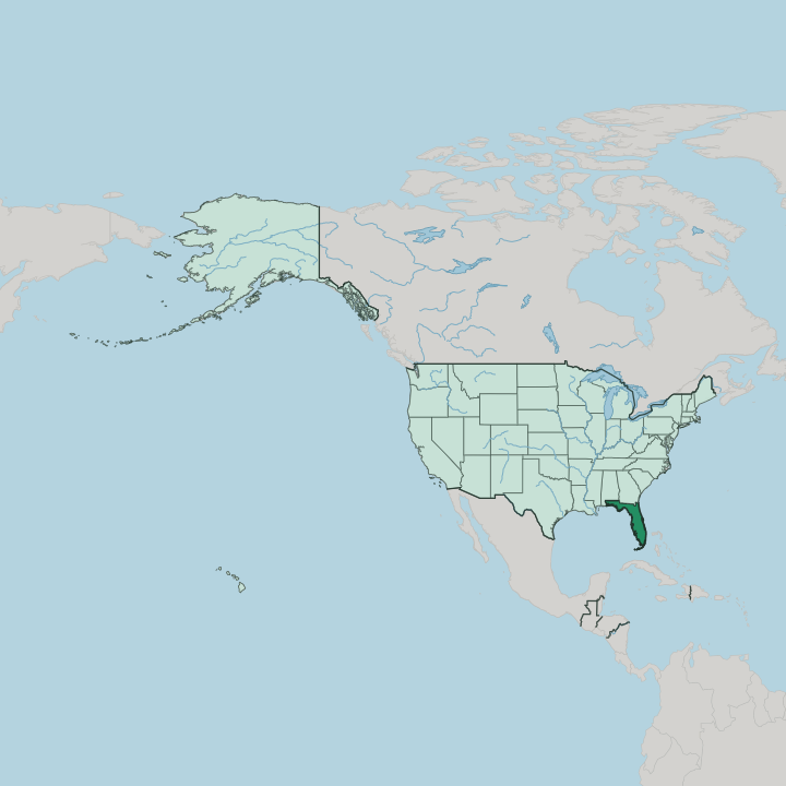
Towns & cities in Florida
Pick a town or city — each links to where to stay.
 United States
Jacksonville
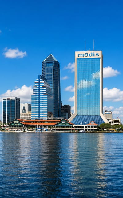
Old churches and river-side galleries mark Jacksonville, a city in Florida known for the Cummer Museum of Art and Gardens.Where to stay →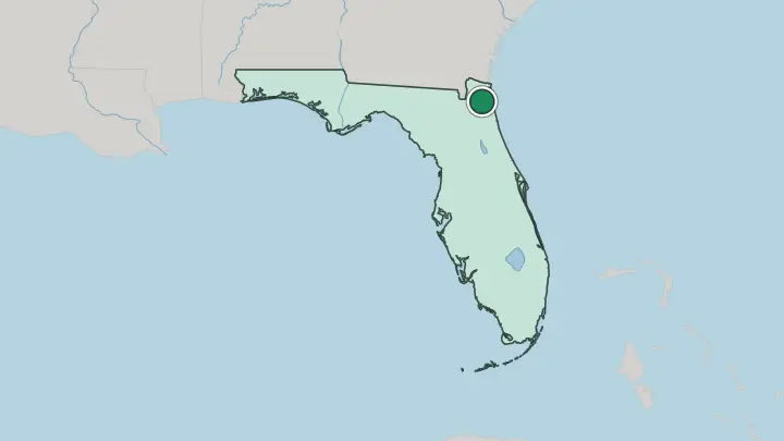
 United States
Miami
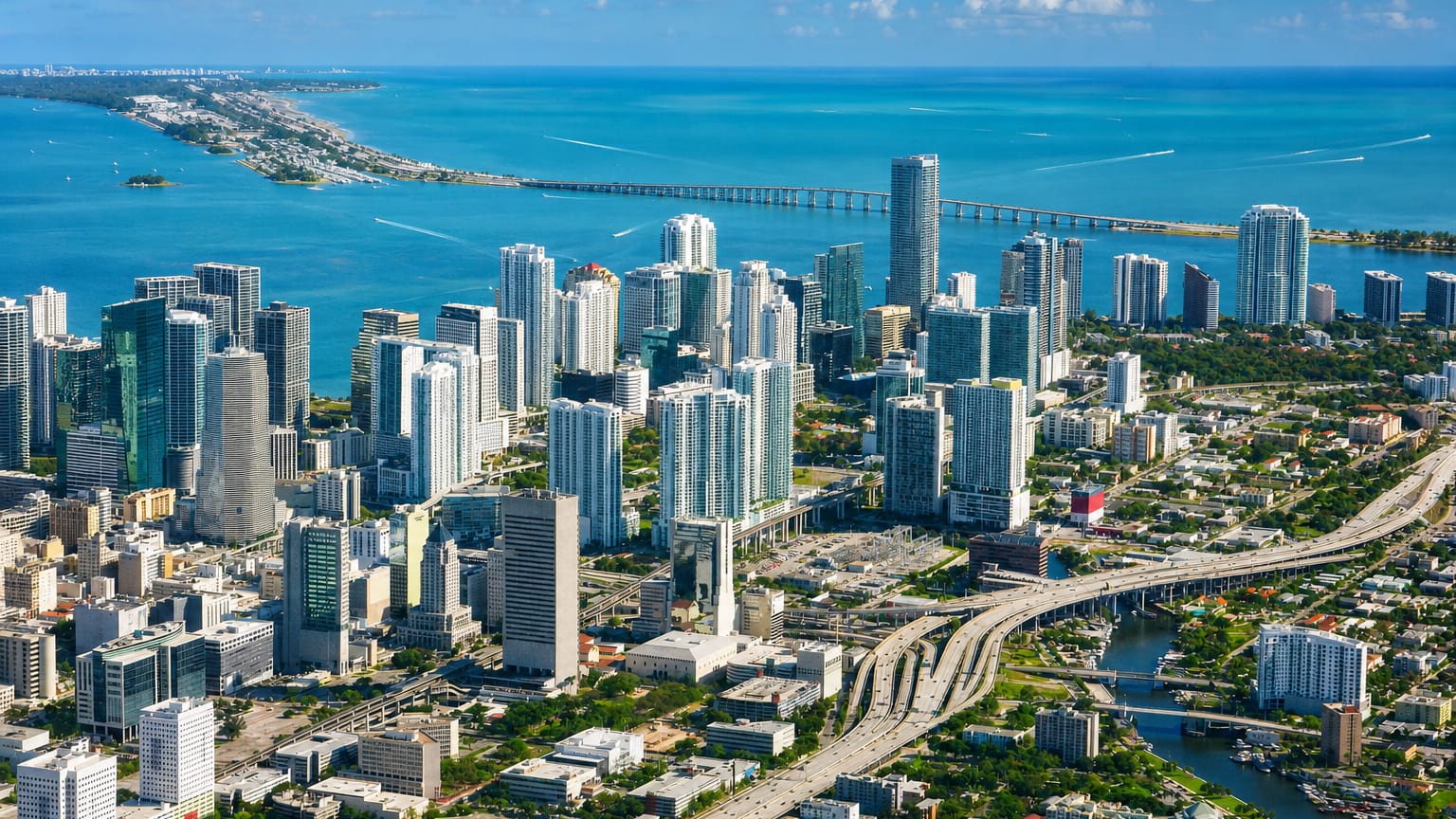
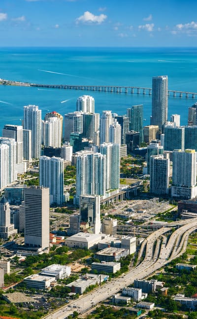
Wynwood Walls and a waterfront skyline mark Miami, a coastal city in southeast Florida and the seat of Miami-Dade County.Where to stay →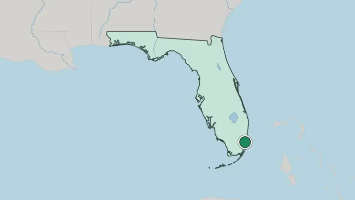
 United States
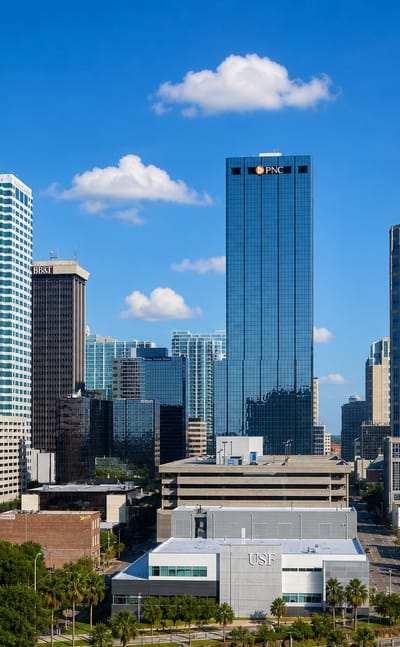
Tampa
Water wraps Tampa on Tampa Bay, a port city in Florida known for the Florida Aquarium and the Henry B. Plant Museum.Where to stay →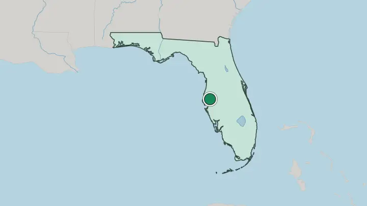
 United States
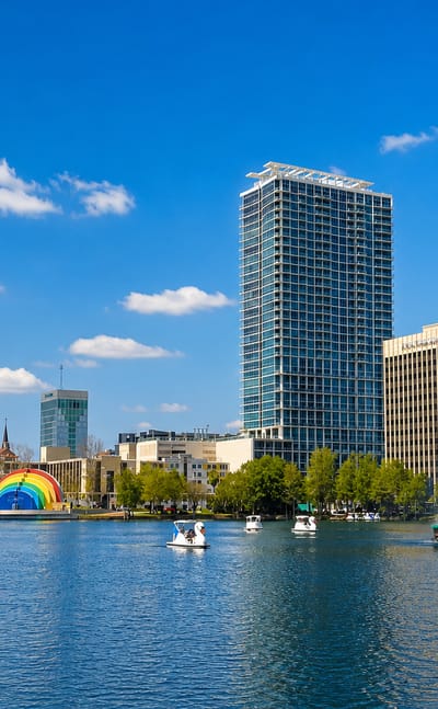
Orlando
Lakes scatter through Orlando, a city in central Florida known for the Orange County Regional History Center.Where to stay →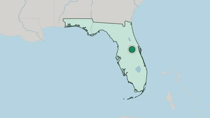
 United States
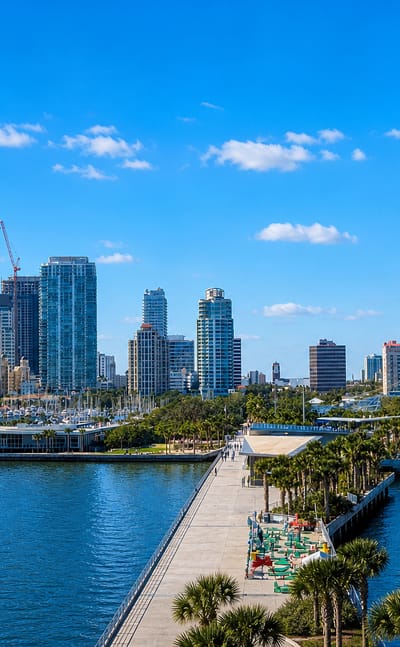
St. Petersburg
Sun off the water frames St. Petersburg, a waterfront city on the Florida coast known for the Salvador Dali Museum and the Museum of Fine Arts.Where to stay →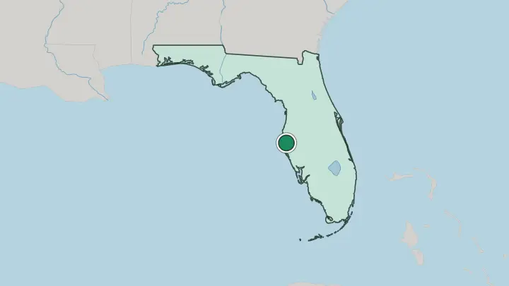
 United States
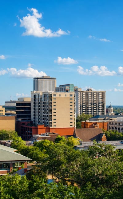
Tallahassee
Live oaks shade the streets of Tallahassee, the capital of Florida known for the Museum of Florida History and The Columns.Where to stay →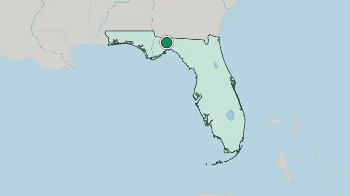
 United States
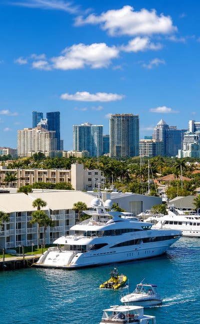
Fort Lauderdale
Canals thread the streets of Fort Lauderdale, a coastal city on the Atlantic Ocean in Florida and the seat of Broward County.Where to stay →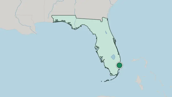
 United States
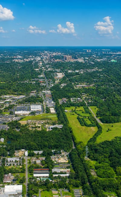
Gainesville
Brick porches and oak shade mark Gainesville, a city in Florida known for the Thomas Center and its preserved historic houses.Where to stay →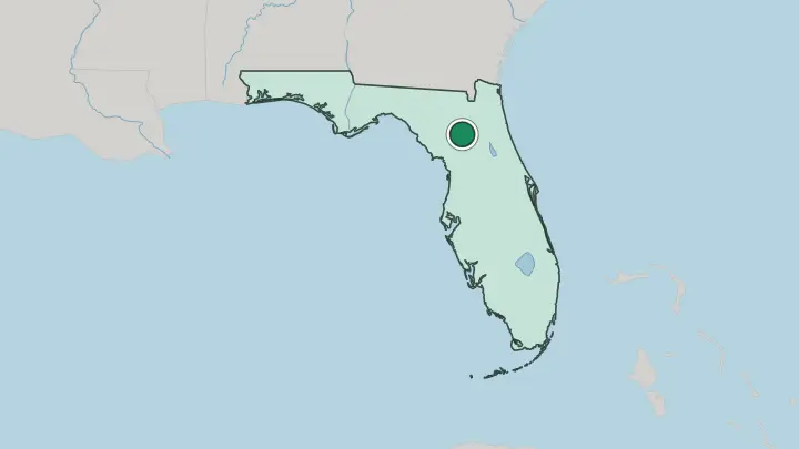
All towns & cities (12)
 United States
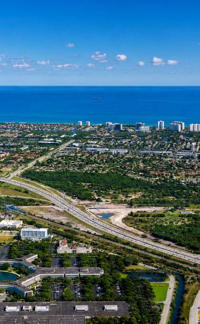
Boca Raton
Wide Atlantic beaches edge Boca Raton, a coastal city in Palm Beach County on the east coast of Florida, known for the Boca Raton Museum of Art.Where to stay →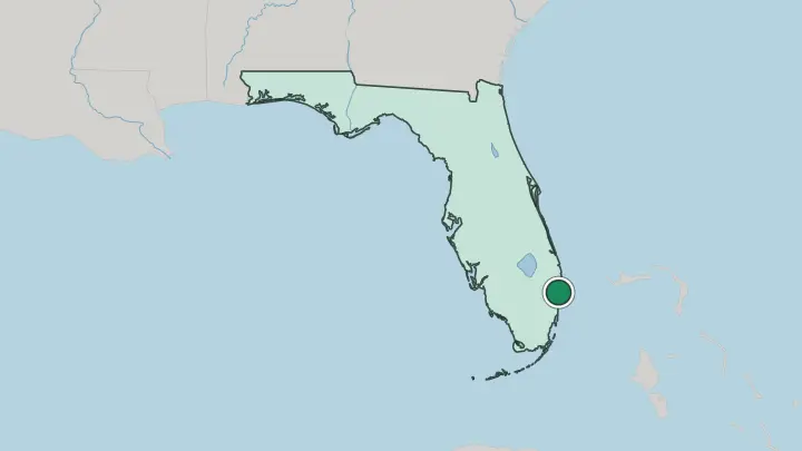
 United States
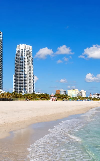
Miami Beach
Ocean light washes the Art Deco fronts at Miami Beach, a barrier-island resort city in Florida between the Atlantic and Biscayne Bay.Where to stay →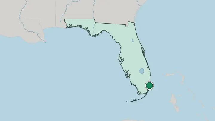
 United States
Pensacola
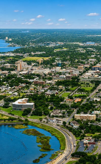
Pensacola is a historic beach city on the Florida panhandle, known for the Pensacola Museum of Art and Old Christ Church.Where to stay →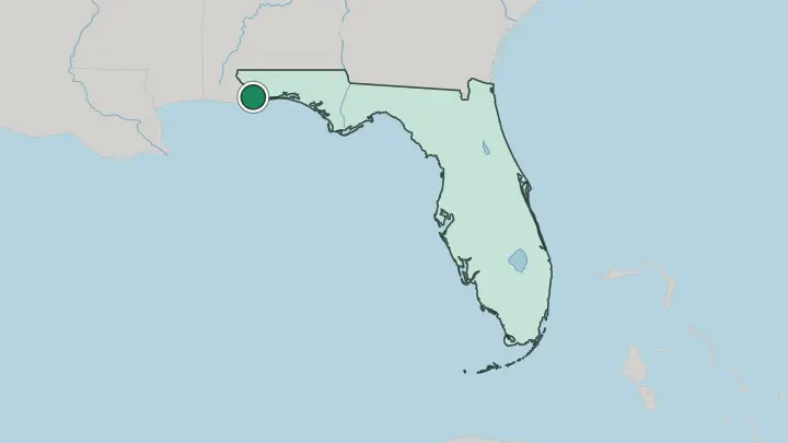
 United States
The Villages
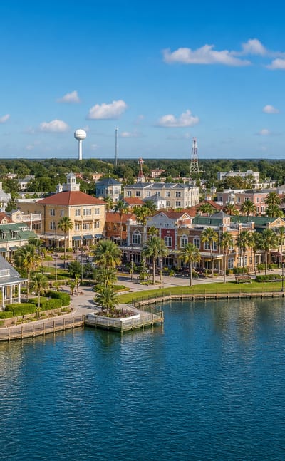
Golf greens and warm air mark The Villages, a planned retirement community in Inland Florida spread across Lake, Sumter, and Marion counties.Where to stay →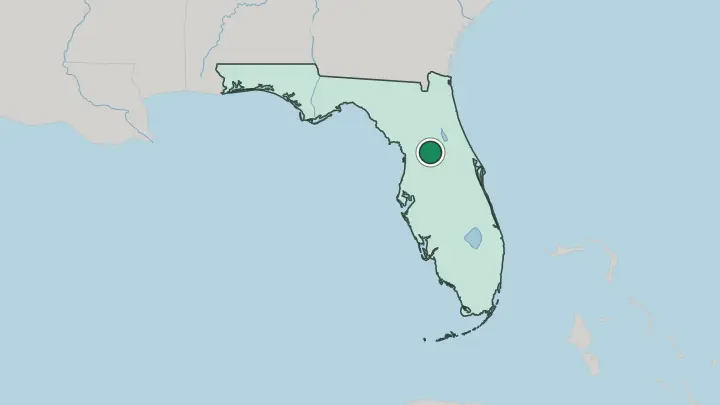
About Florida
What is Florida known for?
Florida is known for its coast, with the longest coastline in the contiguous United States. It is the only state to border both the Gulf of Mexico and the Atlantic Ocean. Most of it forms a long peninsula between the two seas, fringed with barrier islands and beaches along both shores.
Its cities include Miami, Jacksonville, Tampa Bay, Orlando, and Cape Coral. Water wraps around the peninsula.
Where is Florida?
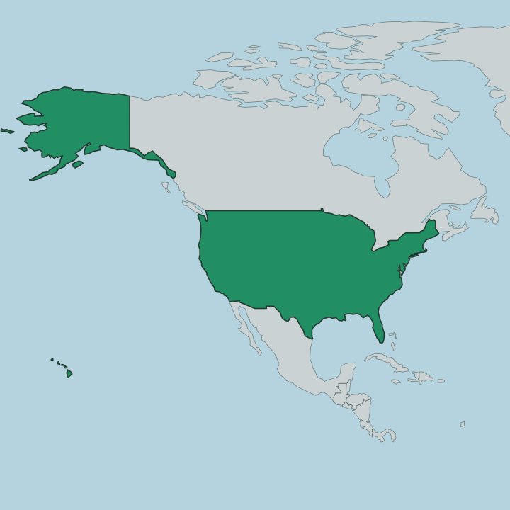
Florida lies in the Southeastern United States, in the country's South Atlantic region. About two-thirds of it forms a peninsula, reaching south between the Gulf of Mexico on the west and the Atlantic Ocean on the east. The sea is on three sides.
That shape gives Florida the longest coastline in the contiguous United States, and it is the only state to front both the Gulf of Mexico and the Atlantic Ocean. Barrier islands trail along much of that shore. No other state in the country touches two open seas the way this one does.
On land, Florida borders just two states. Alabama lies to the northwest and Georgia to the north, across the base of the peninsula. Everything else is water: the Gulf of Mexico to the west, the Atlantic Ocean to the east, the Straits of Florida to the south, and The Bahamas beyond them to the southeast.
Tallahassee is the state capital, while Miami, Jacksonville, Tampa Bay, Orlando, and Cape Coral spread down the peninsula. Only Alabama and Georgia connect it to the rest of the country by land. Water, more than land, sets Florida's edges.
What is Florida like?
Florida lives with the water. Nearly surrounded by the Gulf of Mexico, the Atlantic Ocean, and the Straits of Florida, the state faces the sea on three sides, and the coast runs through its whole character. Beaches set the pace.
The subtropical warmth and the long shoreline pull people toward the water, and the barrier islands give the coast its fringe. This is a place defined by its edges, not its interior. None of it lies far from salt water.
The state's cities line the two coasts and the peninsula between them. The Miami metropolitan area, gathering Miami, Fort Lauderdale, and West Palm Beach, gives the southeast its weight, while Jacksonville, Tampa Bay, Orlando, and Cape Coral spread the rest across the state. To the southeast, the Straits of Florida and The Bahamas place Florida at the edge of the wider Atlantic.
Florida became a state in 1845. Its outlook faces the water and the islands beyond as much as the mainland behind it. The peninsula ties it more to the sea and the islands than to Alabama and Georgia on land.
What is the history of Florida?
Florida became a state in 1845, taking in the peninsula between the Gulf of Mexico and the Atlantic Ocean. Its land borders were fixed with Alabama to the northwest and Georgia to the north, while the rest of the boundary followed the coast and the Straits of Florida. The sea drew the outline.
Tallahassee has served as the state capital.
What is the climate of Florida?
Florida sits in a subtropical band, its weather shaped by warm seas on nearly every side. The Gulf of Mexico and the Atlantic Ocean keep the air humid and mild, and summers run long and wet. Winters stay gentle.
The surrounding sea keeps the state warm and maritime rather than continental, moderated on nearly every side by the ocean.
How do you get to Florida?
Florida is reached by land from the north and by sea along both coasts. Overland routes cross in from Alabama and Georgia at the base of the peninsula, the state's only land links. The Gulf of Mexico and the Atlantic Ocean open it to shipping and ports on either side, with the Straits of Florida leading south toward The Bahamas.
Miami leads the arrivals in the southeast. The coast carries the rest.
Common questions
What is the best area to stay in Florida?
Orlando: an inland base between the two coasts.
Good for
Updated July 2026