United States
South Dakota, United States — Towns & Travel Guide


South Dakota is a Great Plains state where the Missouri River splits prairie farmland in the east from the Black Hills and Badlands in the west.
Find your area →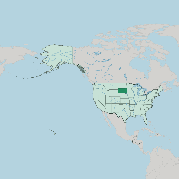
Towns & cities in South Dakota
Pick a town or city — each links to where to stay.
 United States
Sioux Falls
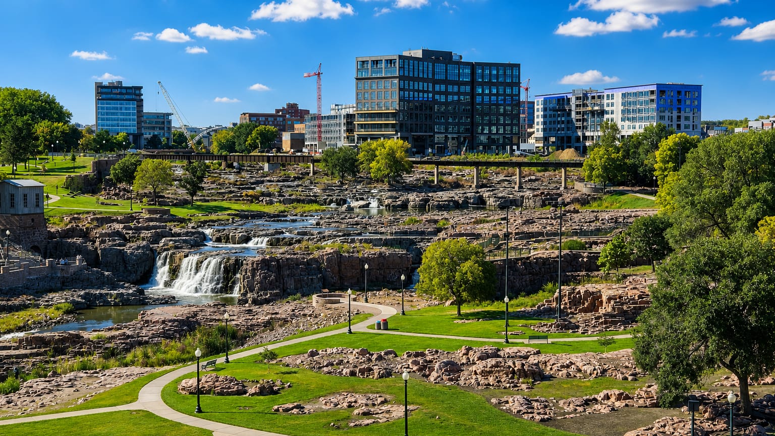
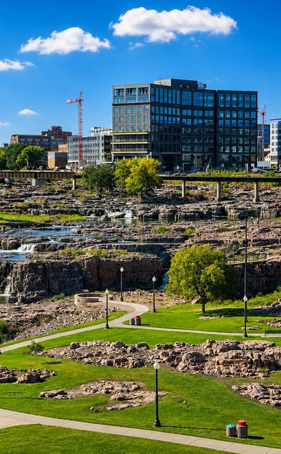
The Big Sioux River drops over quartzite ledges at Sioux Falls, a city in South Dakota chartered in 1856 and known for its falls and St. Joseph Cathedral.Where to stay →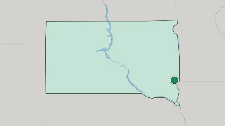
About South Dakota
What is South Dakota known for?
Mount Rushmore is the state's signature sight, the faces of Washington, Jefferson, Roosevelt, and Lincoln carved into a granite cliff in the Black Hills. Most first-time visitors head west. Badlands National Park lies just east of the hills, a maze of eroded spires and striped clay where meltwater rivers carved deep into the plains.
Deadwood keeps its gold-rush streets, Custer State Park runs a bison herd across open grassland, and every August the town of Sturgis fills with motorcycles. The Missouri River divides all of this from the farm country to the east.
Where is South Dakota?
South Dakota sits in the northern Great Plains, near the geographic center of the United States. No sea touches South Dakota. North Dakota lies along its northern border and Nebraska along the south, with Minnesota and Iowa to the east and Wyoming and Montana to the west. The land tilts gently upward from the eastern prairie toward the Rocky Mountain front, gaining height with every mile west.
The Missouri River is the great divider. Its reservoirs curve down the middle of the state from north to south, splitting it into two halves that even the locals name separately. East River is prairie and cropland, flatter and better watered, where corn and soybeans grow in deep glacial soil.
West River is drier and higher, a country of cattle ranches, buttes, and short grass that rolls on toward Wyoming. The far west holds the surprise. The Black Hills rise dark with pine above the plains, an isolated range that shelters Black Elk Peak, the highest ground in the country east of the Rockies.
Just east of the hills the Badlands break the prairie into a maze of eroded ridges and clay spires. Between them and the Missouri stretch mile after mile of open grassland. It is a long way across.
What is South Dakota like?
Two cultures share the land here, and the older one runs deep. The Sioux nations, Lakota, Dakota, and Nakota, have lived across these plains for centuries, and their reservations still cover much of the west and center, from Pine Ridge to the Cheyenne River. Powwows, drum circles, and the Lakota language carry that heritage forward.
The Crazy Horse Memorial, a mountain carving underway on Thunderhead Mountain in the southern Black Hills, answers Mount Rushmore, a seventeen-mile drive to the northeast, with a monument to a Lakota war leader. The other South Dakota is agricultural and Western. Cattle ranches spread across the West River grasslands, rodeos fill summer weekends, and the Sturgis Motorcycle Rally floods the Black Hills every August.
East of the Missouri the culture is farm-town Midwestern, built on corn, soybeans, and the pheasant season that draws hunters each autumn. Mitchell even sheathes a downtown auditorium, the Corn Palace, in murals made of ears of corn. Roadside stops like Wall Drug turn the long drives into a kind of folklore of their own.
English is the everyday language throughout. It is a thinly settled state, and the distances shape a plain, self-reliant way of life.
What is the history of South Dakota?
The Lakota reached the Black Hills around 1776, hunting bison across grasslands they came to hold as sacred. Gold changed that. Prospectors poured into the hills after an 1874 expedition found ore, Deadwood boomed almost overnight, and the resulting wars with the Sioux ran until the killings at Wounded Knee in 1890.
Dakota Territory had already split in two, and South Dakota entered the Union in 1889 with Pierre as its capital. Farmers took up homesteads on the eastern prairie in the same years, and agriculture has anchored the state ever since.
What is the climate of South Dakota?
South Dakota has a continental climate of hard extremes. Winters bite. Cold air slides down off the plains and January highs sit below freezing, with blizzards closing the roads out west.
Summers swing the other way, hot and dry enough that the thermometer can top a hundred, though prairie nights cool off fast. Rain thins toward the west: the eastern farmland near Sioux Falls catches enough for corn, while the West River range around the Black Hills stays semi-arid. The eastern counties sit within Tornado Alley.
How do you get to South Dakota?
Most visitors drive. Interstate 90 runs the whole width of the state, threading past the Badlands, Rapid City, and the Black Hills, while Interstate 29 carries north-south traffic along the eastern edge through Sioux Falls. Two regional airports handle the flights: Sioux Falls in the east and Rapid City out west, the latter the usual way in for anyone bound straight for Mount Rushmore.
There is no passenger rail. Distances are big, and a car is all but essential for getting around.
Common questions
What is the best area to stay in South Dakota?
Sioux Falls: arriving from the eastern prairie.
Good for
Updated July 2026