Venezuela: Regions, Cities & Travel Guide
Venezuela sits on South America's Caribbean coast, its land climbing from Lake Maracaibo's oil fields to Angel Falls.
Hotel links are affiliate links: booking through them may earn us a commission, at no extra cost to you. It never affects how places are ranked. How this works


Top destinations in Venezuela
Cities to start from, then drill into areas and hotels.
 Venezuela
Caracas
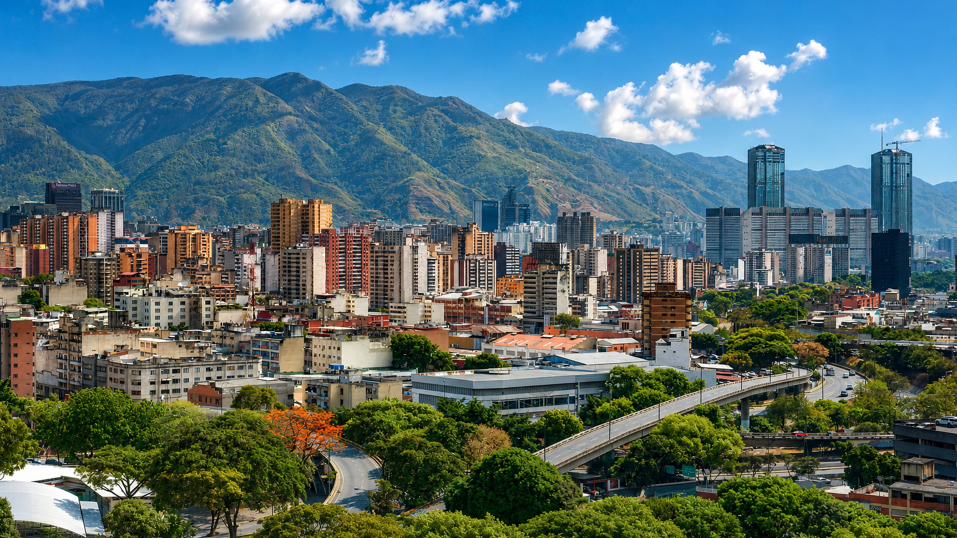
Caracas fills a green valley below Cerro El Ávila, the capital of Venezuela, founded in 1567 and known for the Guaire River and the Miraflores Palace.Where to stay →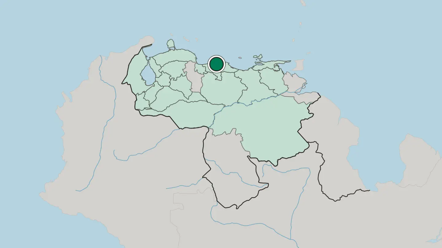
 Venezuela
Maracaibo
Maracaibo is a city of western Venezuela on its great lake, capital of Zulia, an oil city of fierce heat, folk music, and the lightning of the Catatumbo.Where to stay →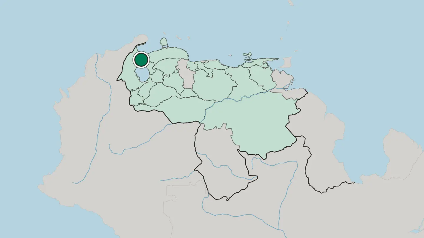
 Venezuela
Mérida
Mérida is a university city high in the Venezuelan Andes, capital of Mérida State, beneath the country's highest peaks.Where to stay →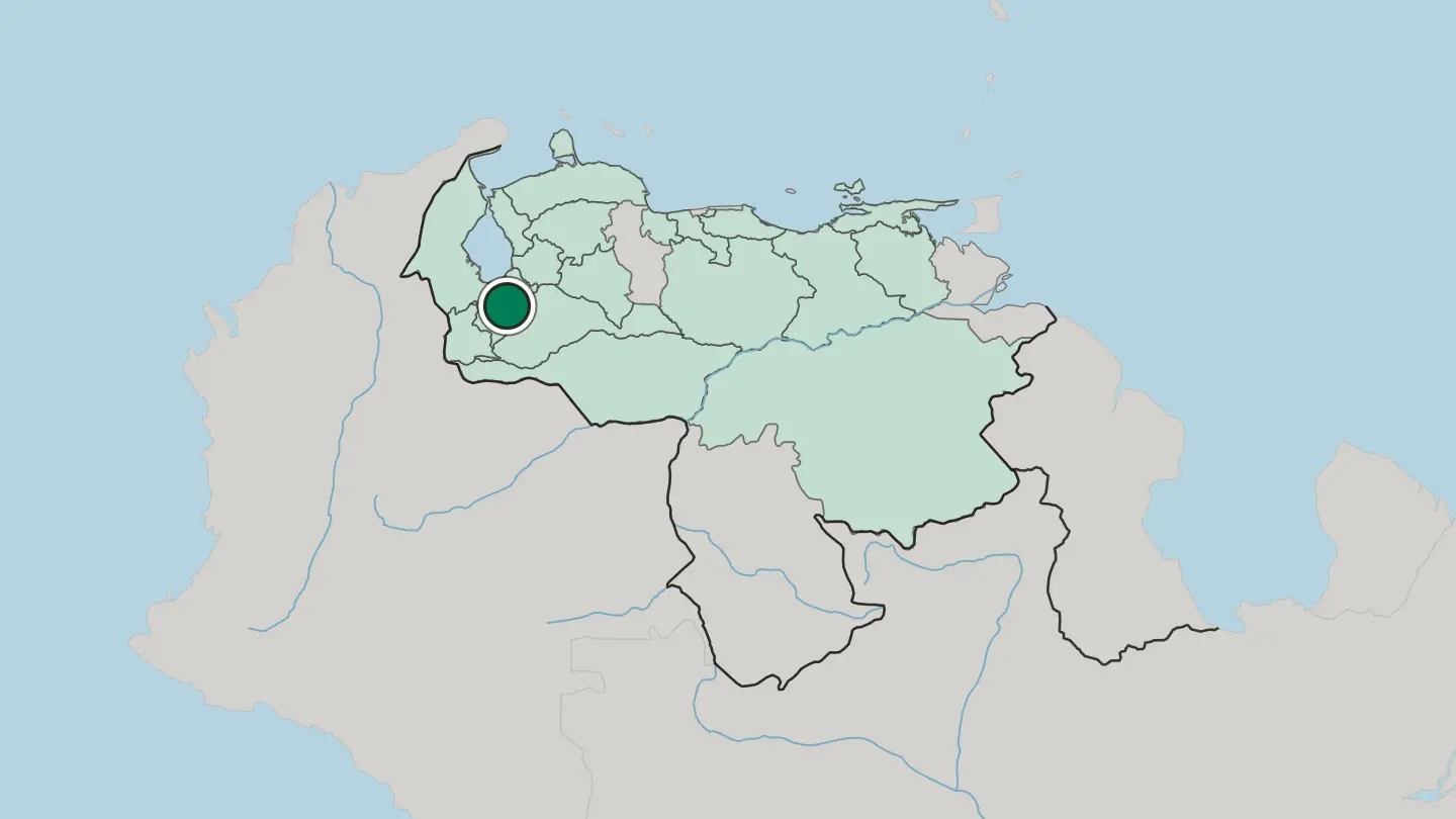
 Venezuela
Barquisimeto
Barquisimeto is a city of western Venezuela, the capital of Lara, a warm inland town on the Turbio River known for its music and its glowing sunsets.Where to stay →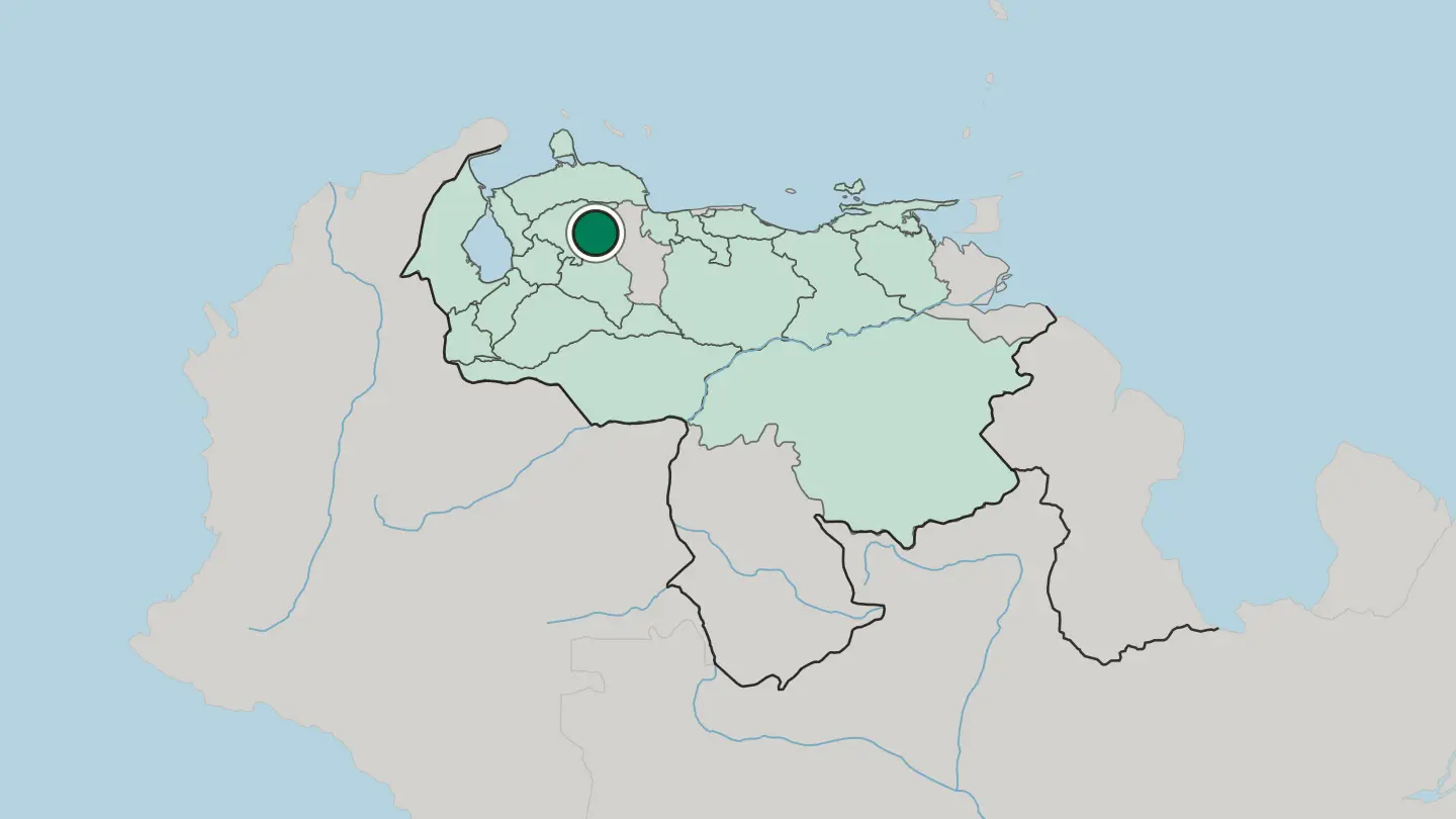 Venezuela
Valencia
Valencia is a city of northern Venezuela, the capital of Carabobo and a great industrial town, set on a plain near the shores of Lake Valencia.Where to stay →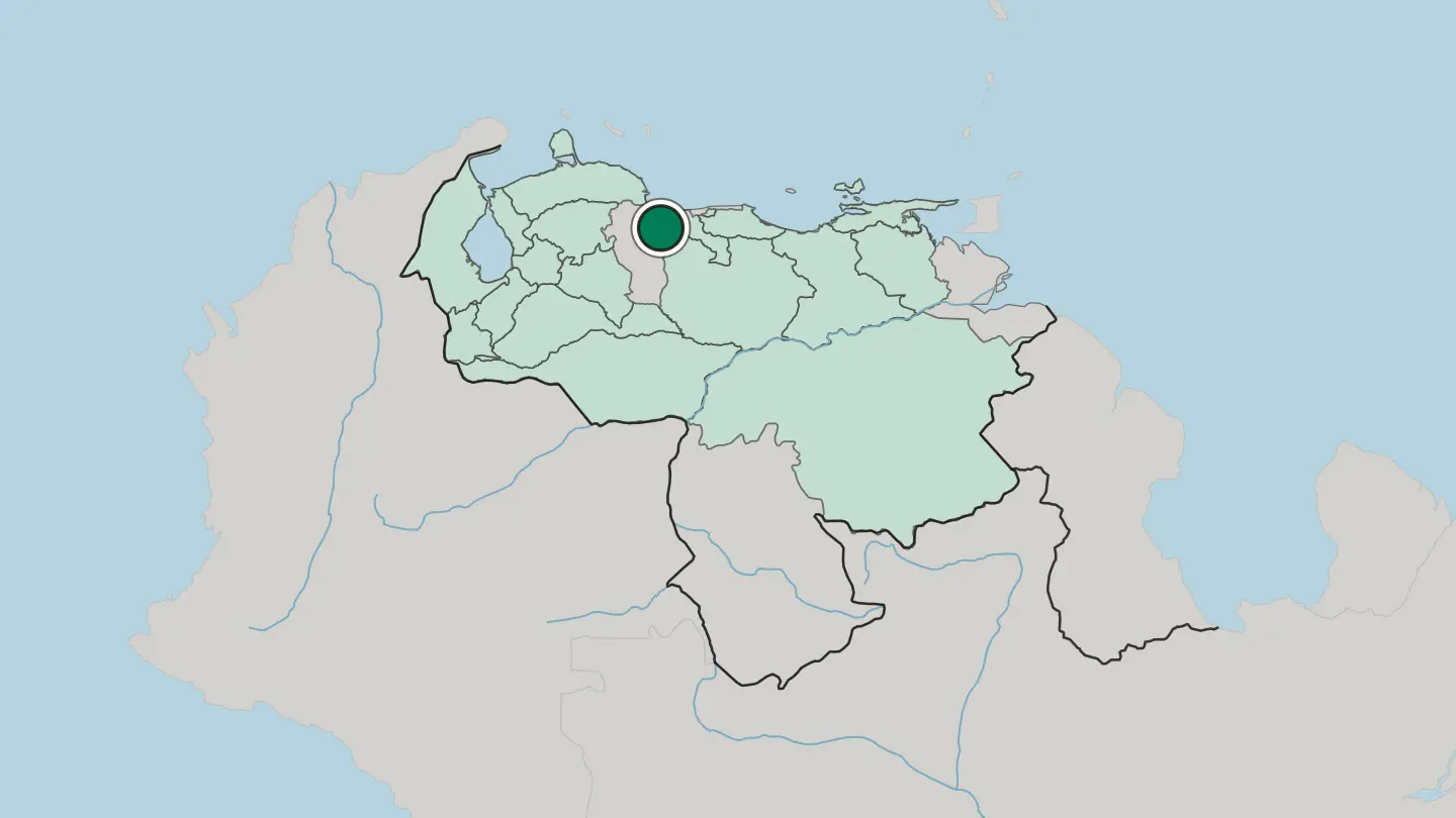
 Venezuela
Maracay
Maracay is the capital of Aragua, known in Venezuela as Ciudad Jardín, with Henri Pittier National Park and the town of Choroní beyond it.Where to stay →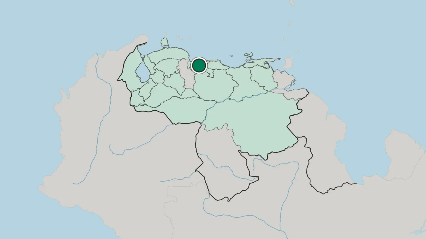
 Venezuela
Ciudad Bolívar
Ciudad Bolívar is a city of south Venezuela on the narrows of the Orinoco, once called Angostura, where Simón Bolívar set his young republic's capital.Where to stay →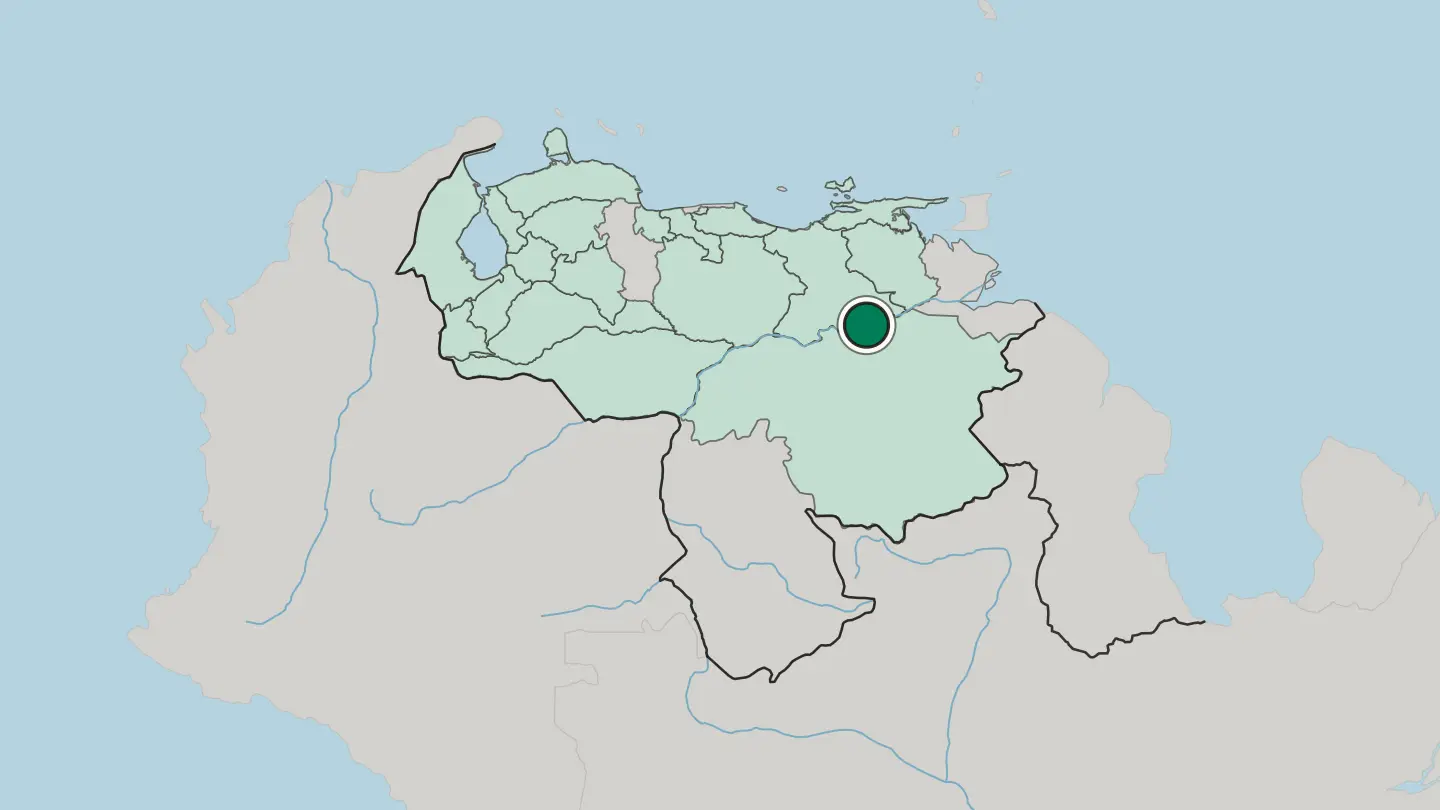 Venezuela
Maturín
Maturín is the capital of Monagas in Venezuela, a petroleum city on the routes from the coast to the Orinoco Delta and the Gran Sabana.Where to stay →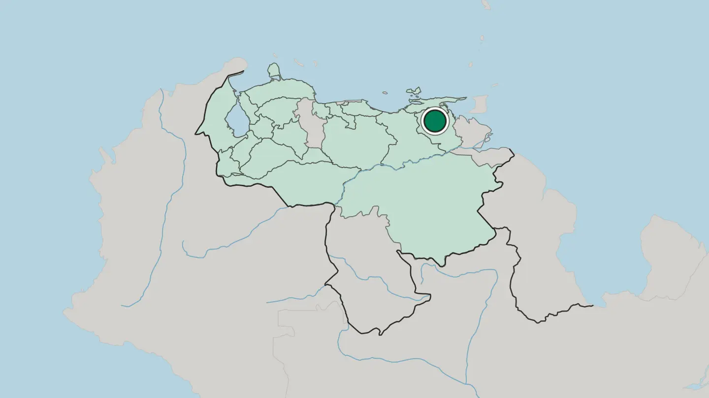
 Venezuela
Ciudad Guayana
Ciudad Guayana is the steel and aluminium city of Bolívar, formed in 1961 where the Caroní River joins the Orinoco.Where to stay →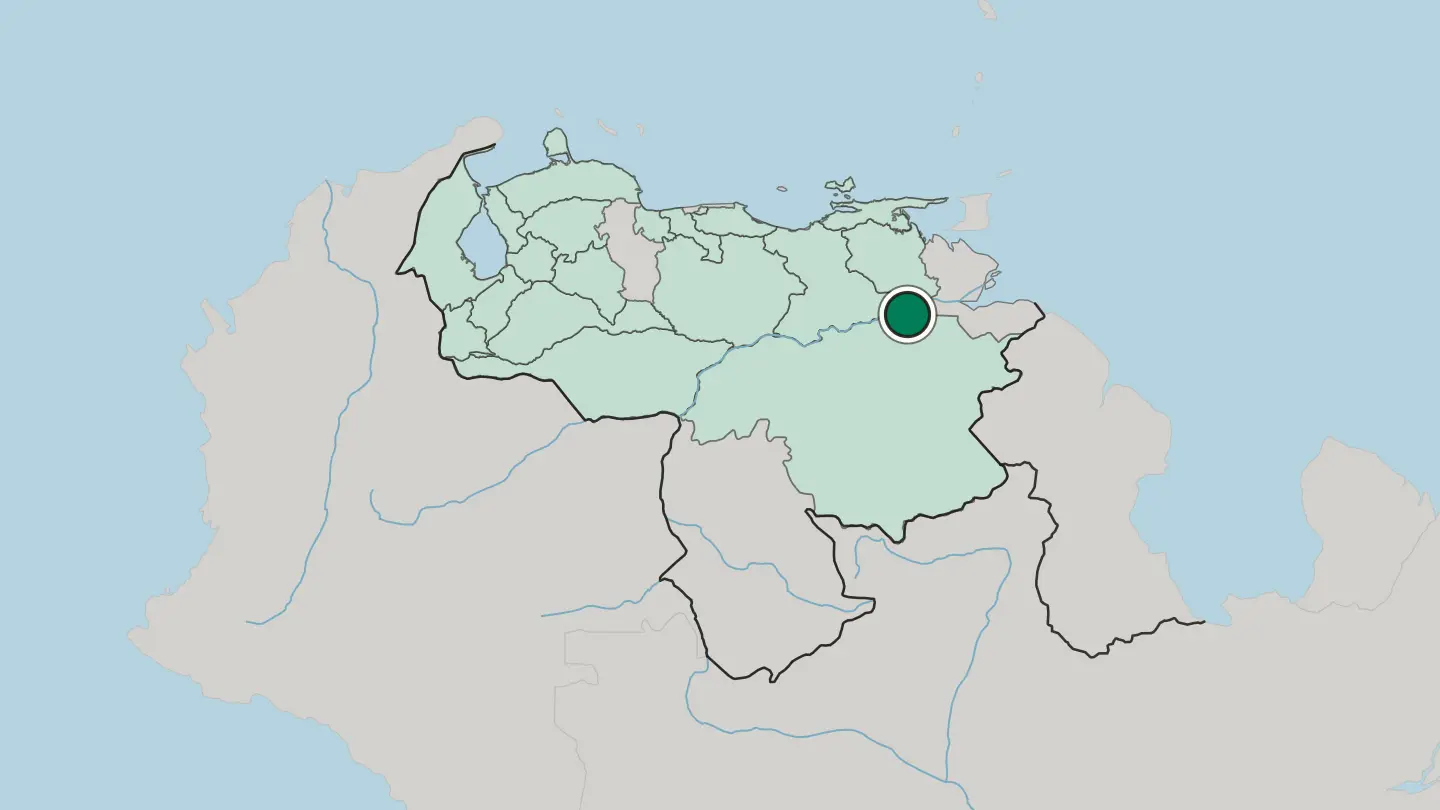
Hotel links are affiliate links: booking through them may earn us a commission, at no extra cost to you. It never affects how places are ranked. How this works
Regions of Venezuela
Venezuela
Distrito Capital
Distrito Capital is the federal capital district of Venezuela, formed in 1999 and built almost entirely around the city of Caracas.Towns & cities →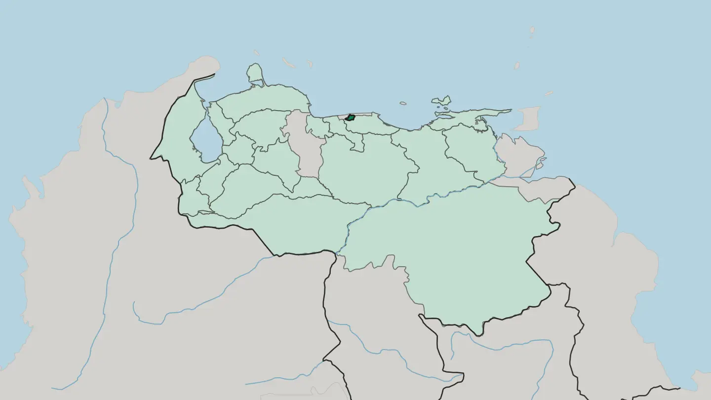
 Venezuela
Estado Anzoátegui
Anzoátegui is one of the 23 states of Venezuela, facing the Caribbean Sea in the country's northeastern region, with Barcelona as its capital.Towns & cities →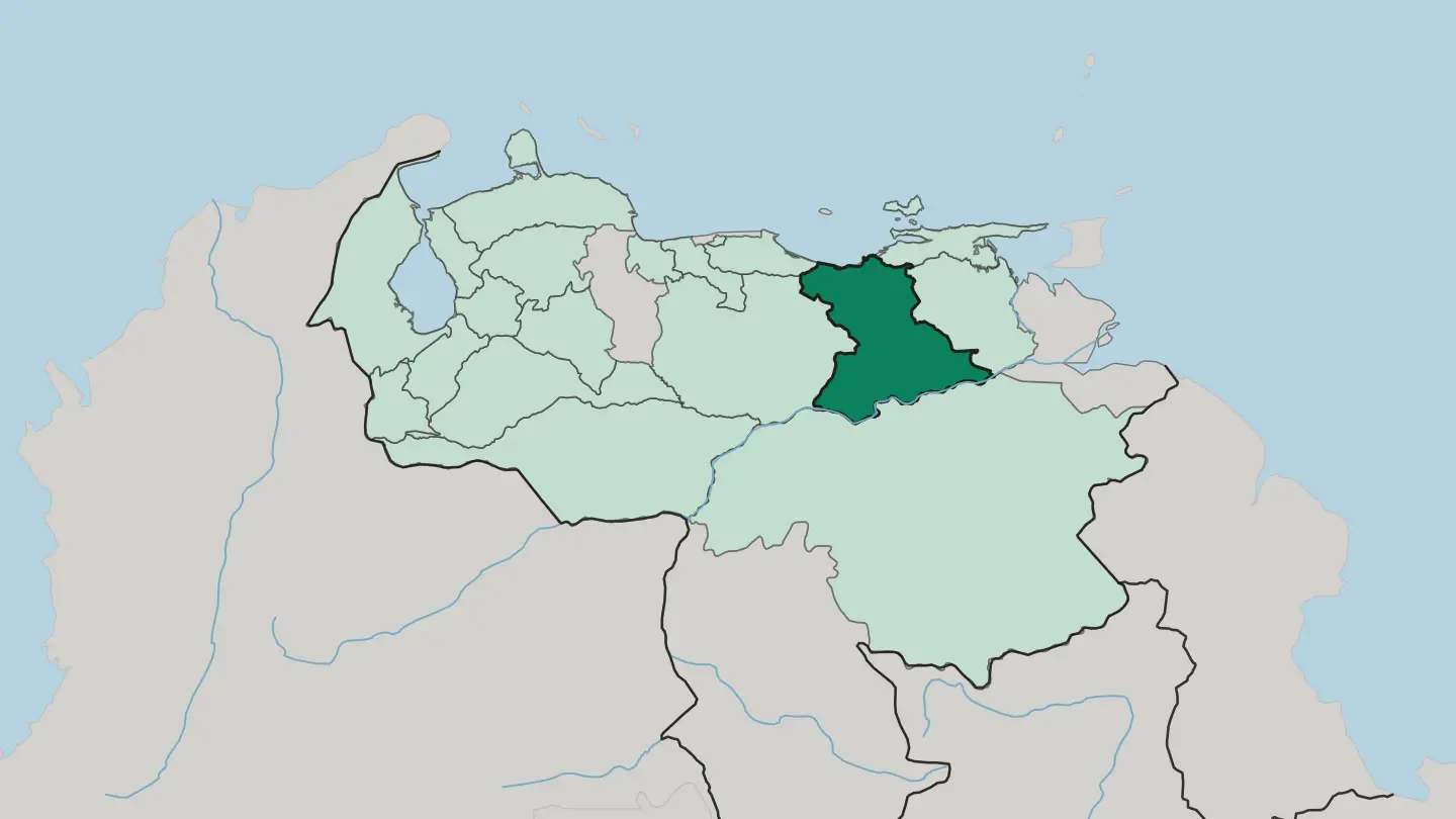 Venezuela
Estado Apure
Apure, a state of Venezuela in the Los Llanos region, holds the borders the Constitution of 1909 finally gave it.Towns & cities →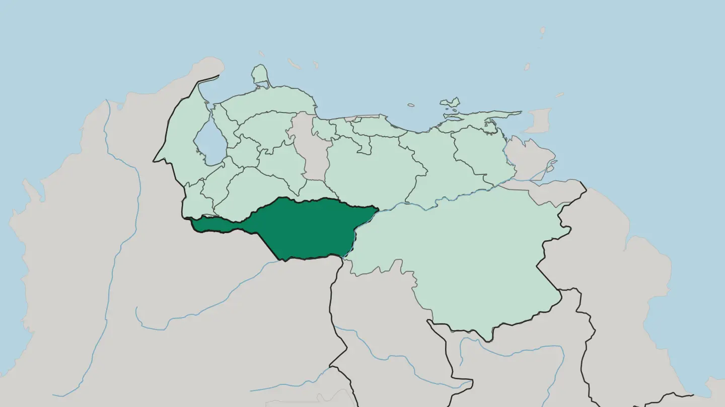 Venezuela
Estado Aragua
Maracay has been the capital of Aragua since 1917, a Central region state running from the Caribbean Sea south to Guárico.Towns & cities →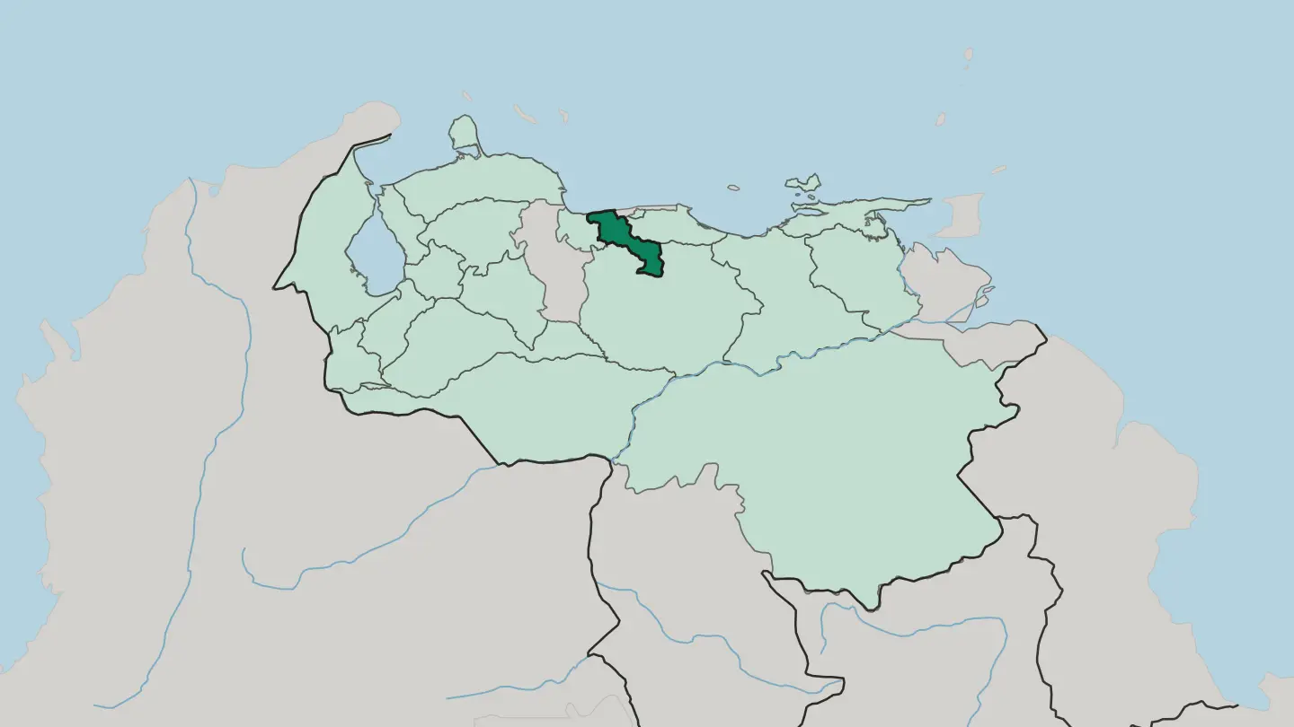 Venezuela
Estado Barinas
Barinas is one of Venezuela's 23 states, a stretch of the Los Llanos plains whose capital carries the same name.Towns & cities →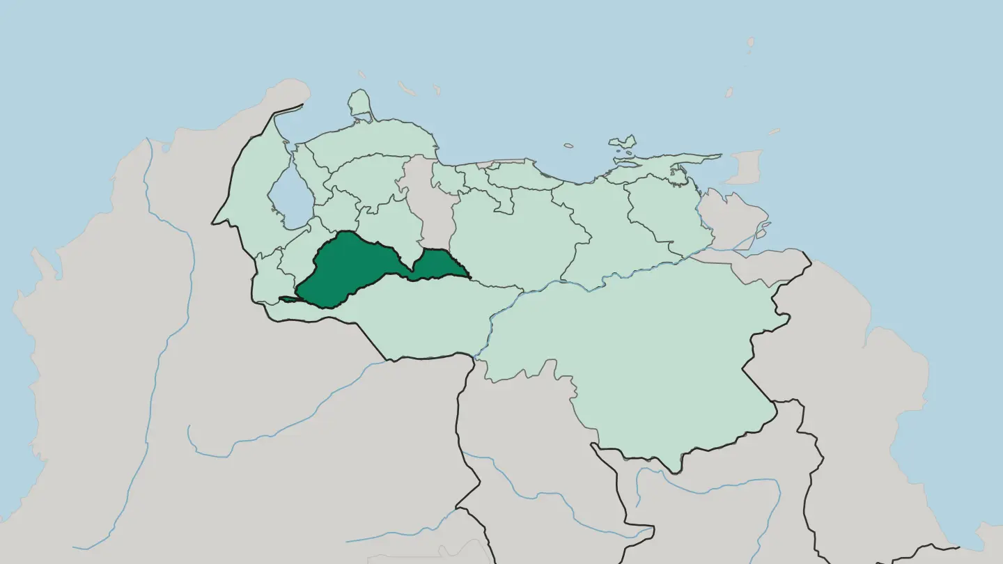 Venezuela
Estado Bolívar
Bolívar is the largest of Venezuela's 23 states by area, the one that holds Angel Falls, with Ciudad Bolívar as its capital.Towns & cities →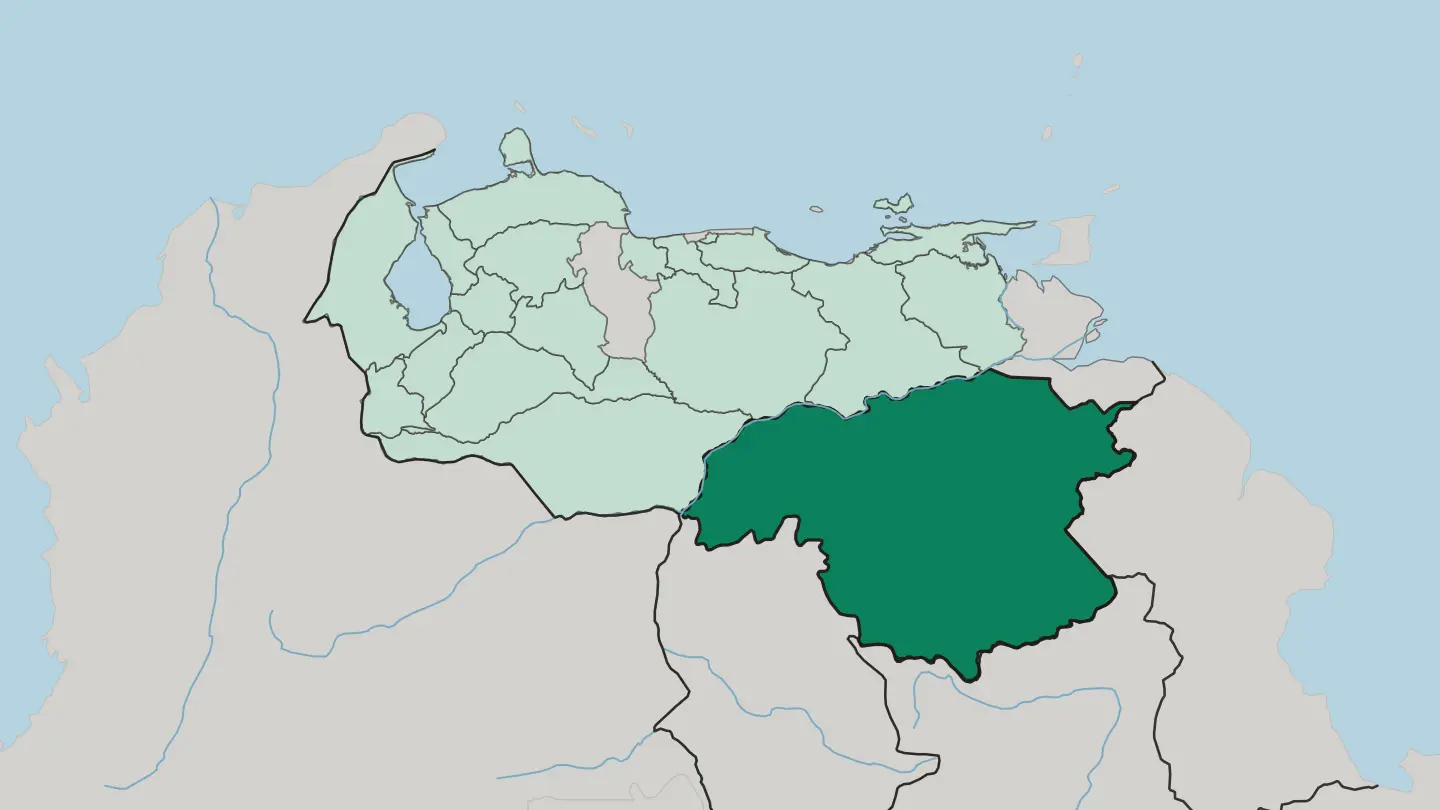
 Venezuela
Estado Carabobo
Carabobo is a compact state in Venezuela's Central Region, with Valencia, the country's main industrial centre, as its capital.Towns & cities →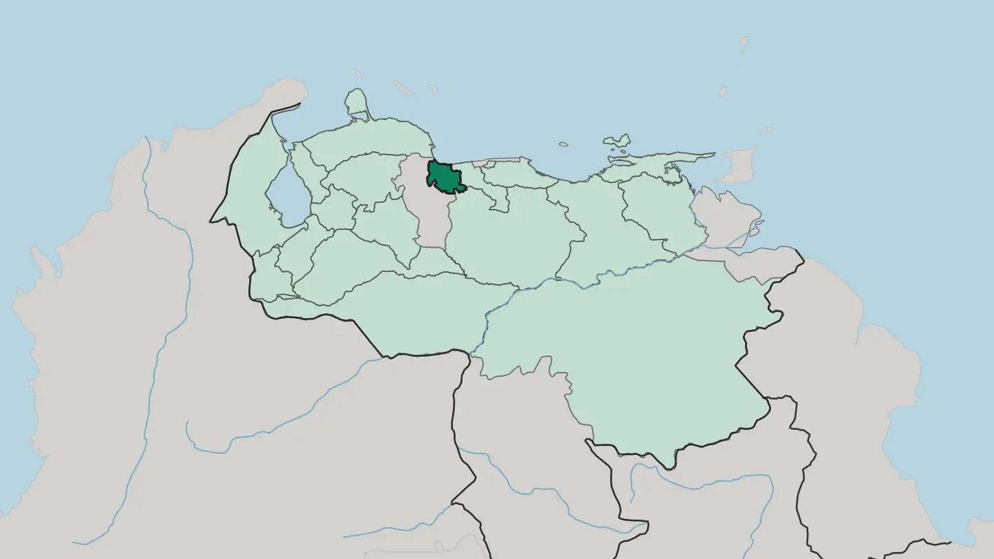
 Venezuela
Estado Falcón
Falcón is one of Venezuela's 23 states, part of the country's Northwest grouping, and its capital is the city of Coro.Towns & cities →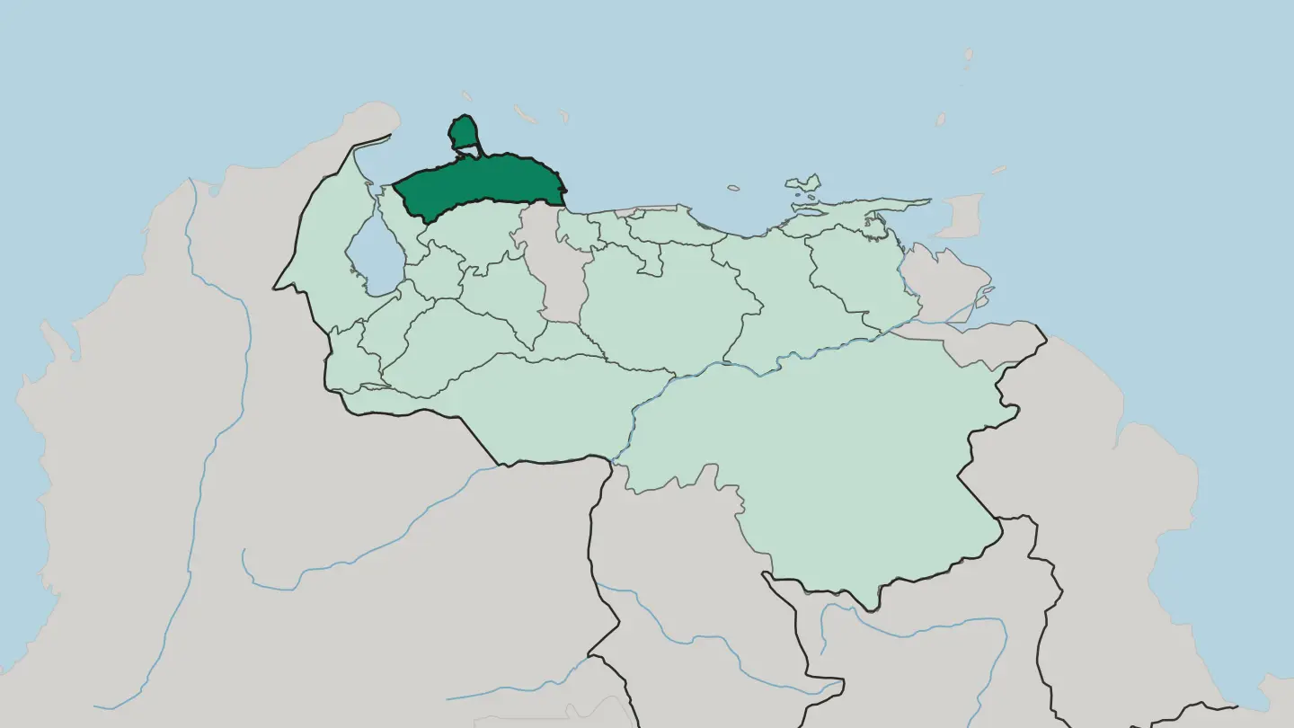
 Venezuela
Estado Guárico
Guárico is a Venezuelan state named for the Guárico River, with San Juan de Los Morros as its capital and Calabozo as its largest city.Towns & cities →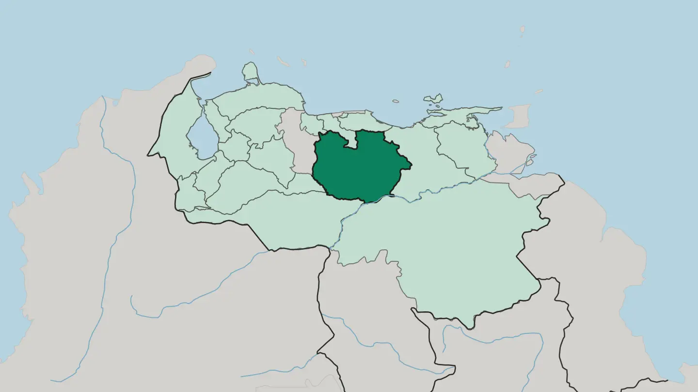 Venezuela
Estado Lara
Barquisimeto is the capital of Lara, one of Venezuela's 23 states, within the country's Central-Western Region.Towns & cities →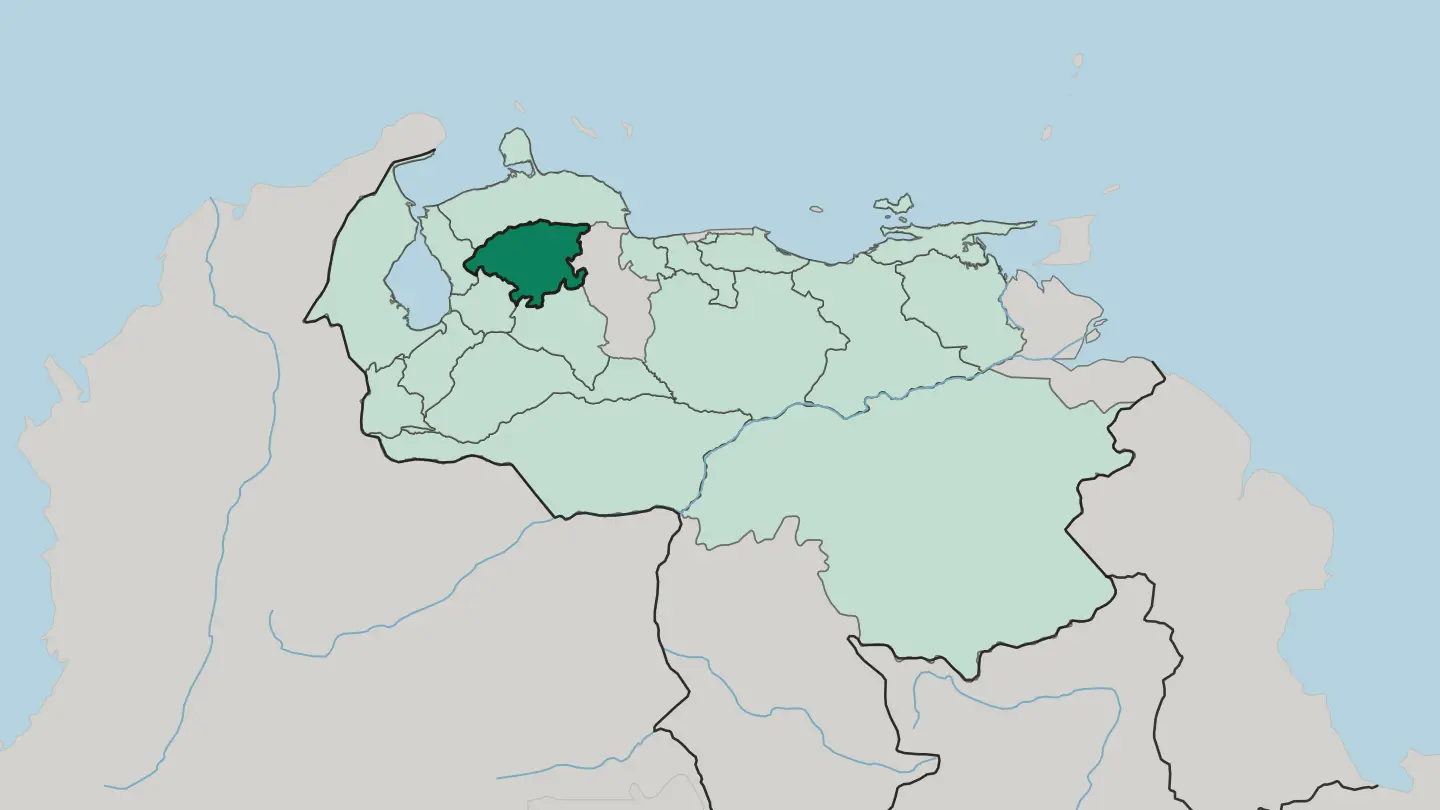 Venezuela
Estado Monagas
Estado Monagas is one of the 23 states of Venezuela, founded in 1856 and part of the Northeast region that reaches the Caribbean Sea.Towns & cities →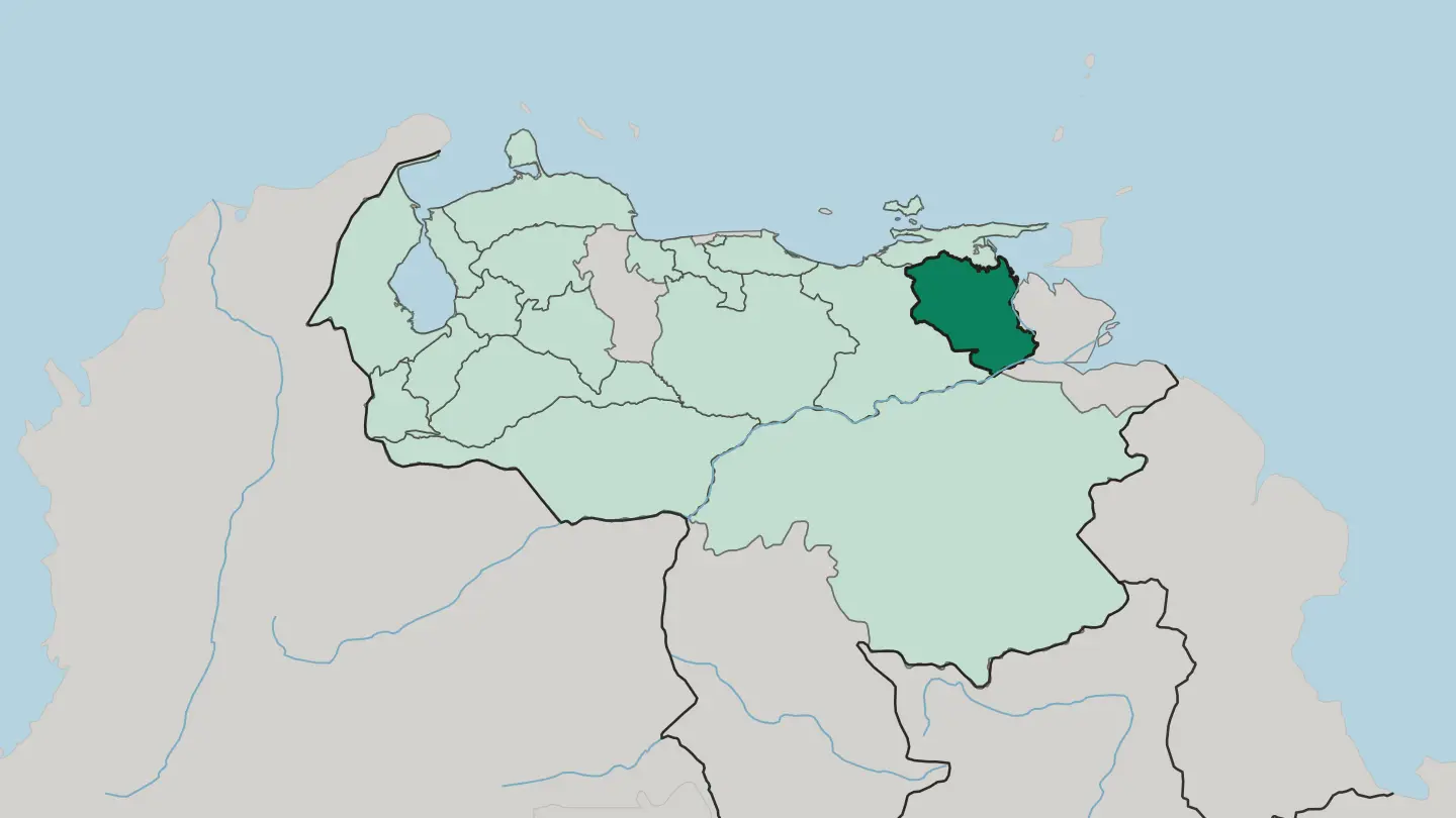 Venezuela
Estado Mérida
Estado Mérida lies in the middle of the Andes region of Venezuela, founded in 1864, with its capital Mérida seated in Libertador Municipality.Towns & cities →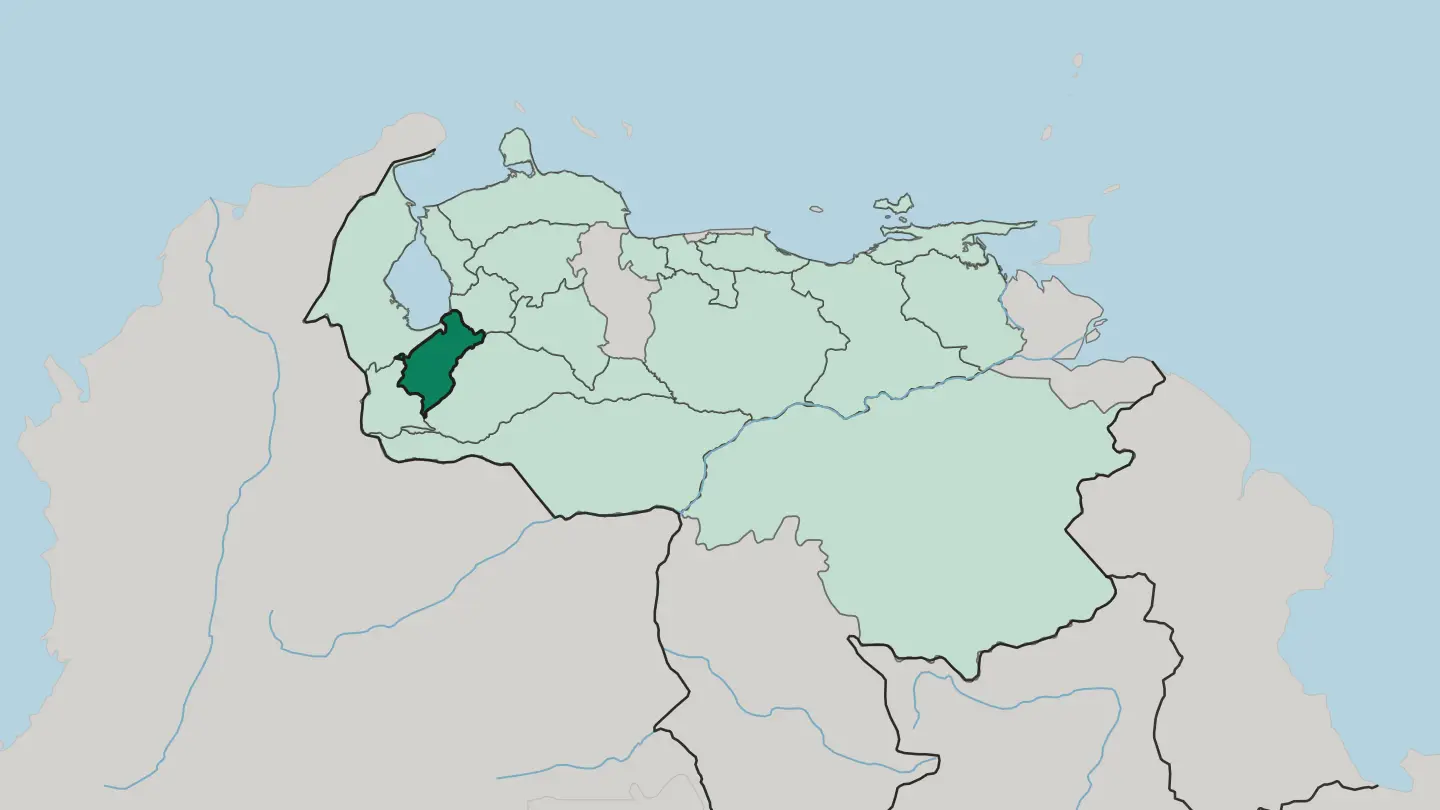
 Venezuela
Estado Nueva Esparta
Estado Nueva Esparta is an island state of Venezuela, Margarita Island, Coche and Cubagua, in the Caribbean Sea, a free port since 1973.Towns & cities →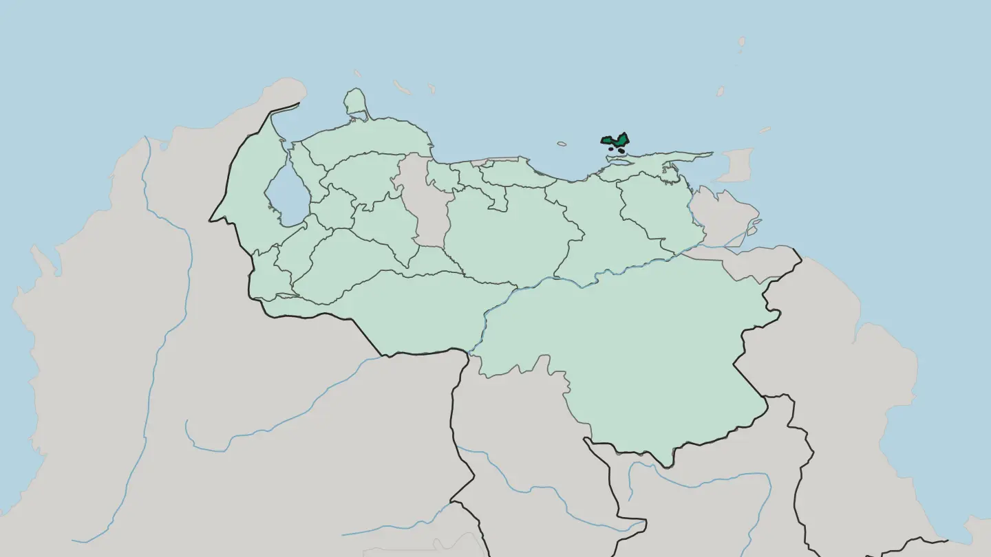
 Venezuela
Estado Portuguesa
Estado Portuguesa is the farming state often called the breadbasket of Venezuela, bordered by Lara, Cojedes, Trujillo and Barinas.Towns & cities →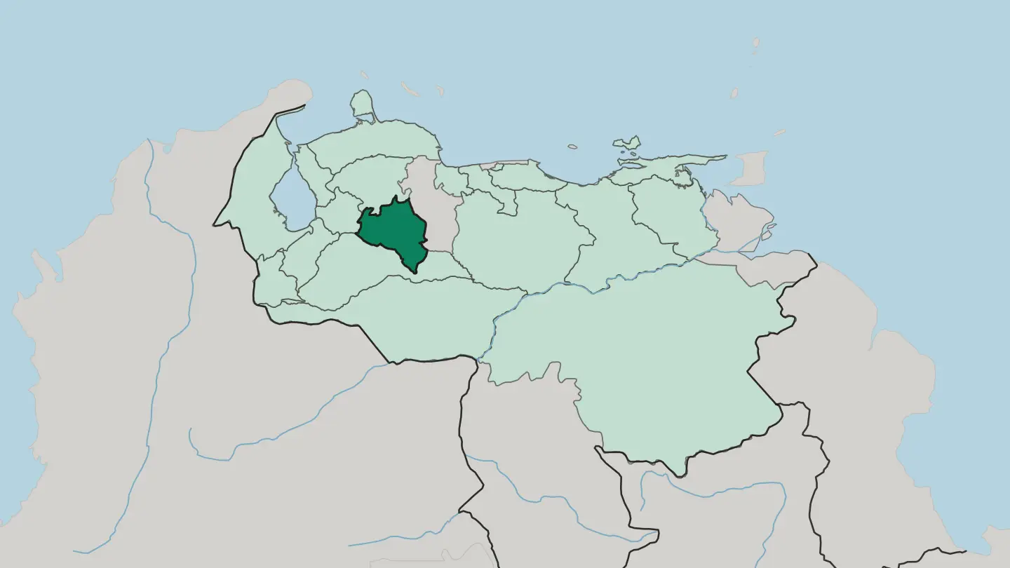
 Venezuela
Estado Sucre
Estado Sucre meets the Caribbean Sea in Venezuela, with Cumaná for a capital and the Manzanares River as its most important watercourse.Towns & cities →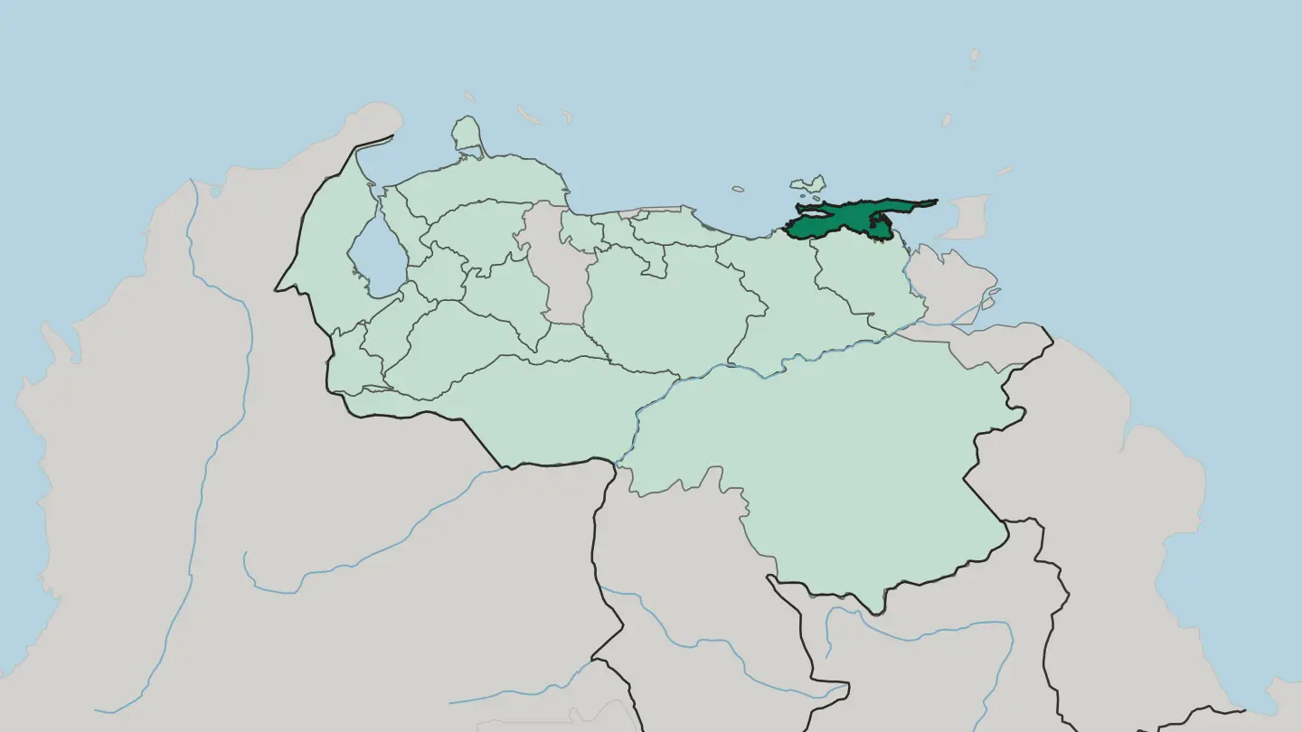 Venezuela
Estado Trujillo
Estado Trujillo sits in the Venezuelan Andes, founded in 1899, with its capital at Trujillo and its largest city at Valera.Towns & cities →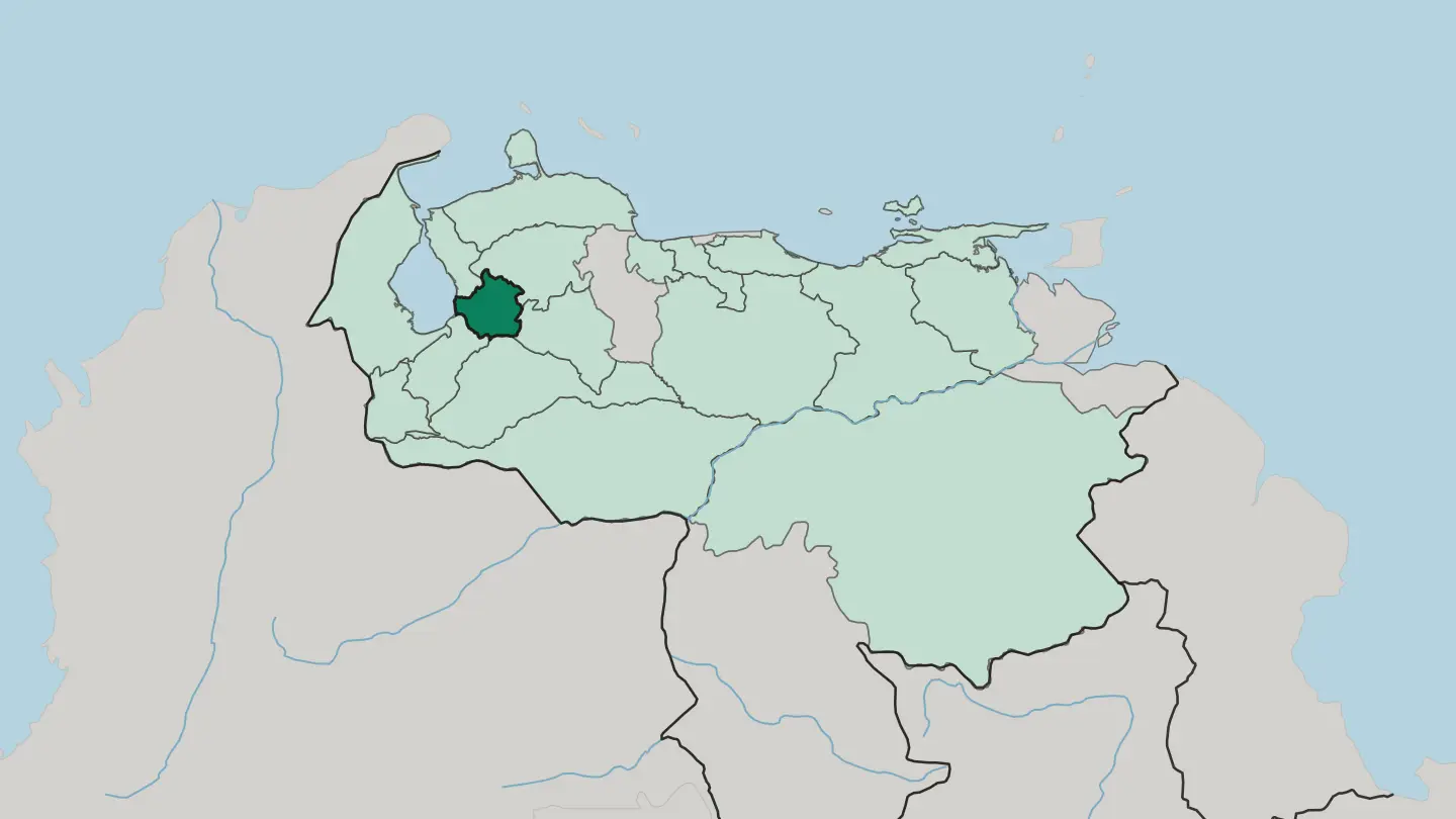
 Venezuela
Estado Táchira
Táchira is an Andean state of southwestern Venezuela, bordering Colombia, with San Cristóbal as its capital and the cordillera at its back.Towns & cities →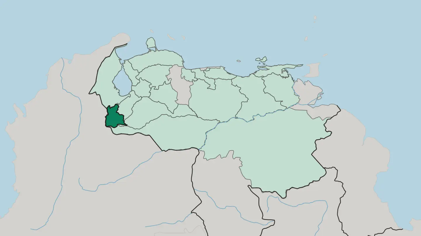 Venezuela
Estado Zulia
Maracaibo is the capital of Zulia, the most populous of Venezuela's twenty-three states and a region of the country's Northwest in its own right.Towns & cities →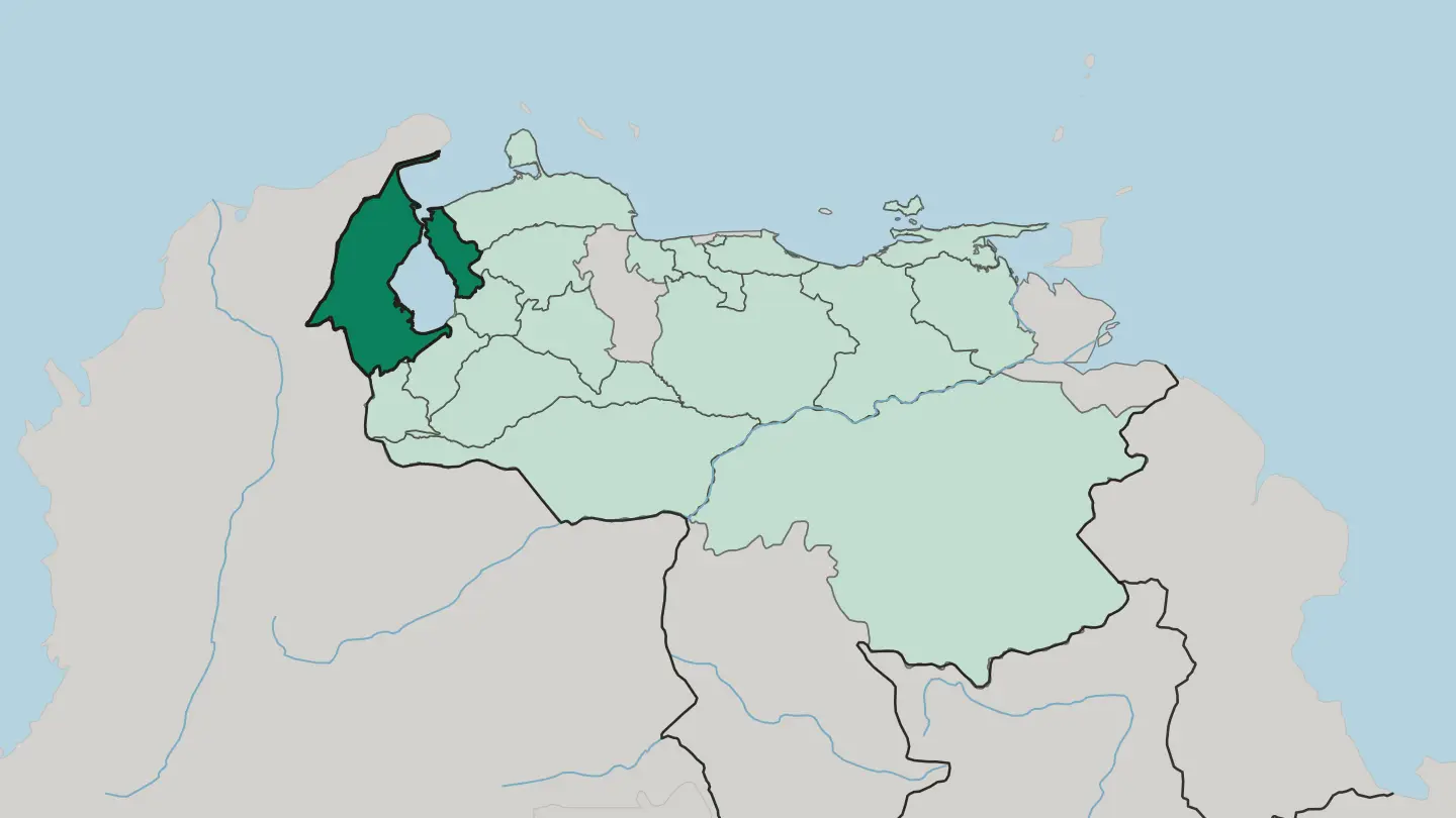
 Venezuela
Miranda
Miranda is a state of north central Venezuela, grouped in the Central region with Distrito Capital, Aragua, Carabobo, and Vargas.Towns & cities →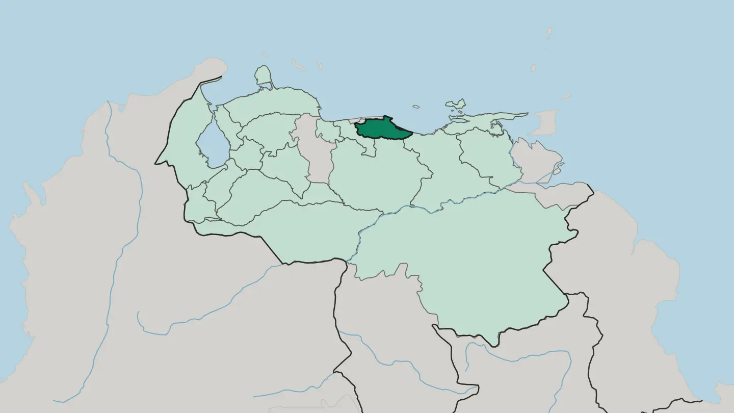
Explore by experience
Not sure which place? Start from how you want to travel.

About Venezuela
Angel Falls made Venezuela famous.
What is Venezuela known for?
The water drops almost a kilometre off the cliff of Auyán-tepui in Canaima, the tallest uninterrupted fall on Earth. Caracas, the capital, sits in a valley below the wall of El Ávila, while Maracaibo runs the oil economy on the lake of the same name. The Andes peak at Pico Bolívar above the mountain town of Mérida, the Orinoco threads the central plains, and the tepuis of the Guiana Highlands stand over the country's wild southern half.
Where is Venezuela?
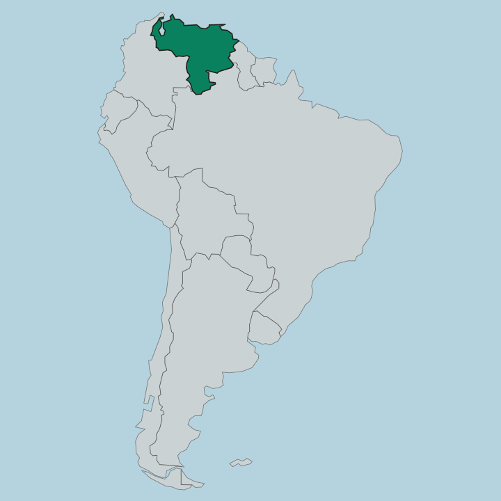
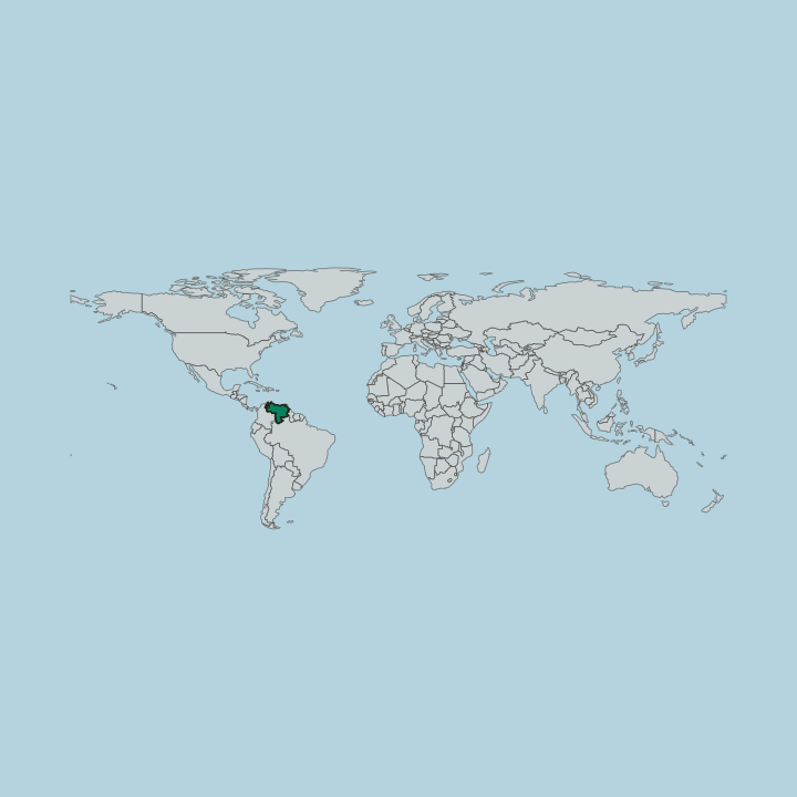
Venezuela occupies the northern shoulder of South America, fronting the Caribbean Sea and the Atlantic and sharing land borders with Colombia to the west, Brazil to the south, and Guyana to the east. Geographers split the country into four blocks of terrain. In the north-west lies the Maracaibo lowlands, a hot flat basin ringed by mountains on three sides and centred on Lake Maracaibo, whose southern shore drains a web of rivers and whose bed holds the oil that built the western economy.
From there the Andes enter the country as the Cordillera de Mérida, a chain that runs north-east from the Colombian border and rises to Pico Bolívar, the highest ground in Venezuela at nearly five kilometres. Below the mountains spread the Llanos. These are the wide Orinoco plains of the centre, grassland so level that the land barely lifts above the rivers that cross it in the wet months.
The Orinoco itself orders this space, gathering the runoff of half the country before it fans into a delta on the Atlantic side. South and east of the great river stretch the Guiana Highlands, an ancient upland of crystalline rock that covers well over a third of the national territory. Out of that plateau rise the tepuis, sheer table mountains like Auyán-tepui and Mount Roraima, and off the northern coast lie the Caribbean islands, Margarita Island the largest among them.
Few countries pack so many worlds into one map.
What is the history of Venezuela?
Independence was born in Caracas. On 5 July 1811 seven provinces of the Captaincy General declared their break from Spain, and the man who came to carry that cause was Simón Bolívar, a Caracas-born landowner whose campaigns would liberate half a continent. The first attempt collapsed fast.
A ruinous earthquake struck Caracas in 1812 and helped topple the young First Republic, and a second republic fell soon after to royalist arms and local revolt. Bolívar regrouped from the plains and the Caribbean, and only with the liberation of New Granada in 1819 did the fight finally hold. For a decade Venezuela formed part of Gran Colombia, the union Bolívar built with what are now Colombia, Panama, and Ecuador.
The arrangement did not last. In 1830, the year Bolívar died, Venezuela pulled away and became a sovereign republic in its own right. The century that followed brought caudillos, civil wars, and coffee, and then the twentieth century brought oil from beneath Lake Maracaibo, which reordered the whole economy and pulled Venezuelans into the coastal cities.
The country carries Bolívar's name in its very title, the Bolivarian Republic. His statue stands in the central plaza of nearly every town. History here still speaks with his voice.
What is Venezuela like?
Venezuelan culture is a braid of three inheritances. The national dish, pabellón criollo, sets shredded beef beside black beans and rice with fried plantain, a plate the government named intangible heritage; it reads as a small map of the nation, Indigenous corn, Spanish cattle, African plantain and frying. Corn runs through everything.
The arepa, a griddled maize cake split and stuffed, is eaten from Maracaibo to the delta at any hour of the day. Music carries the same regional stamp. Above all there is the joropo, the harp-and-cuatro dance that came out of the Llanos and became a sound the whole country claims as its own.
Venezuela also built El Sistema, the state music programme that put instruments into the hands of hundreds of thousands of children and sent its graduates to podiums abroad. Then there is baseball, brought in through the oil camps of the west and now the national game. Faith, family, and a loud warmth in daily dealings tie it together.
Regional pride runs deep, the Andes, the plains, and the coast each sure of their own way. One country speaks in many accents at once.
What is the climate of Venezuela?
Venezuela is tropical, and altitude does the sorting. The Maracaibo lowlands and the Llanos stay hot the year round, splitting into a dry season the locals call verano and a rainy invierno rather than four temperate seasons. Height changes the rules.
Up in the Cordillera de Mérida the air turns cool and thin, and the highest ground near Pico Bolívar holds the only permanent cold in the country. Rain peaks from June to October inland. The clearest skies, and the passable roads to Canaima, come in the drier months around the turn of the year.
How do you get to Venezuela?
Most travellers arrive through Caracas. The main international airport sits at Maiquetía on the coast below the capital, on the far side of El Ávila from the city itself. Maracaibo and Valencia take some regional flights, and Margarita Island has its own airport for the beach traffic.
The country is large, and the interior is far from the coast. Reaching Angel Falls means a further flight into Canaima, since no road runs to the base of the falls.
Good for
Updated September 2026