Argentina
Ciudad Autónoma de Buenos Aires, Argentina — Towns & Travel Guide


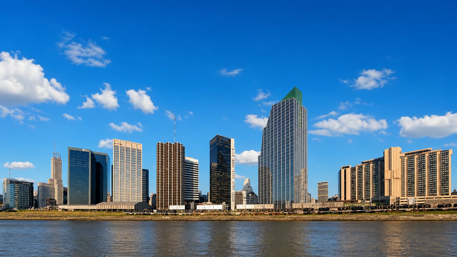
Buenos Aires spreads along the southwest shore of the Río de la Plata, the autonomous capital city of Argentina and its largest urban centre.
Find your area →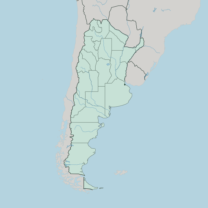
Towns & cities in Ciudad Autónoma de Buenos Aires
Pick a town or city — each links to where to stay.
 Argentina
Buenos Aires
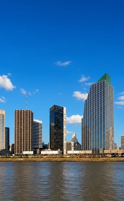
Belle epoque facades and green parks line the streets of Buenos Aires, the capital of Argentina on the Río de la Plata, founded in 1580.Where to stay →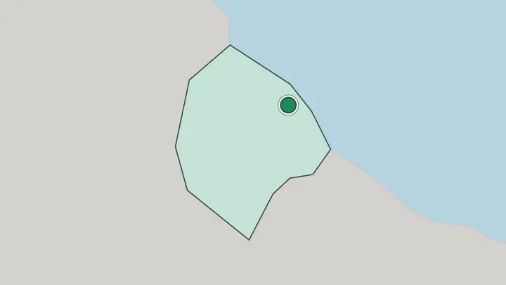
About Ciudad Autónoma de Buenos Aires
What is Ciudad Autónoma de Buenos Aires known for?
Buenos Aires is known as the Autonomous City of Buenos Aires, or Ciudad Autónoma de Buenos Aires, a self-governing federal district that serves as the capital of Argentina. It stands on the Río de la Plata. As the largest city of the Argentine Republic, it holds the country's federal government while running its own local affairs.
The river frames its eastern edge.
Where is Ciudad Autónoma de Buenos Aires?
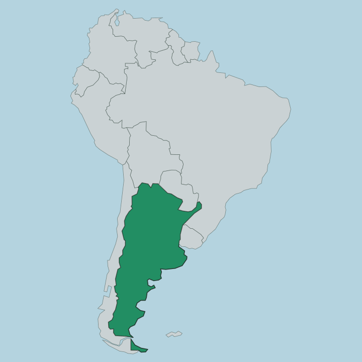
Buenos Aires occupies the southwest shore of the Río de la Plata. The setting is low and flat. As an autonomous city, Buenos Aires forms a single federal district within the Argentine Republic, marked off from the provinces that surround it and bounded on its eastern side by the wide estuary.
The Río de la Plata defines that eastern edge, a broad body of water separating the city from the far shore. Beyond the built-up ground, the land opens into the flat plain that spreads inland across Argentina. The river holds one side.
Open country holds the other, reaching far to the west of the capital and largest city of the nation.
What is Ciudad Autónoma de Buenos Aires like?
Buenos Aires holds the cultural weight of a national capital, the place where the life of the Argentine Republic concentrates. Spanish is the language of the streets. As an autonomous city, it governs its own cultural institutions while standing as the symbolic centre of the whole country, distinct from any single province.
The Río de la Plata has shaped the city's outlook, opening it toward the water and the wider world beyond. Life here runs at the pace of a capital. Much of what defines Argentina to outsiders is imagined through this one city on the river, its language, its institutions, and its place at the head of the nation.
What is the history of Ciudad Autónoma de Buenos Aires?
Buenos Aires has long stood as the capital of Argentina. Its standing as an autonomous city sets the federal district apart from the surrounding provinces of the Argentine Republic, giving it a governance of its own that few cities hold. The Río de la Plata carried the settlement's earliest trade.
That river port role, joined to its place at the head of national government, has defined Buenos Aires across its long history as the largest city of the nation.
What is the climate of Ciudad Autónoma de Buenos Aires?
Buenos Aires sits low beside the Río de la Plata, and the broad river shapes its weather. The estuary loads the summer air with heat and damp. Winters stay mild, seldom bitter, softened by the water at the city's edge.
Rain falls in any season. The wide river keeps the air damp and holds the temperature extremes in check right through the year.
How do you get to Ciudad Autónoma de Buenos Aires?
Buenos Aires is the main point of arrival for the region. As the capital and largest city of Argentina, the city draws overland routes from across the Argentine Republic and water traffic over the Río de la Plata from the far shore. Crossings span the estuary.
Most journeys into the federal district end in the heart of the city itself. Roads and river lead to one place.
Updated July 2026