Argentina
Salta Province, Argentina — Towns & Travel Guide


Salta fills the northwest corner of Argentina, where the Andes drop through the wine-terraced Calchaquí Valleys toward the Gran Chaco plain.
About Salta Province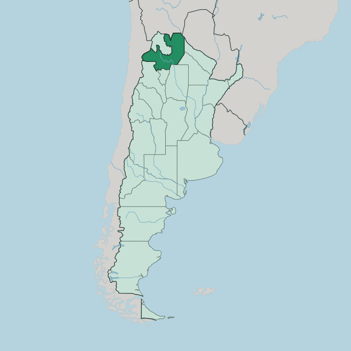
Towns & cities in Salta Province
Pick a town or city — each links to where to stay.
Salta city is the natural first base, and most trips start on Plaza 9 de Julio before heading out along one of two long circuits that climb into the Calchaquí Valleys. Two loops fan out from there. Cafayate anchors the south, a day's drive down the Quebrada de las Conchas and the place to settle among the Torrontés vineyards.
Cachi is the other loop, a white adobe village under the Nevado de Cachi reached over the switchbacks of the Cuesta del Obispo. Higher still is San Antonio de los Cobres, a dusty puna town where the Tren a las Nubes turns around. Cafayate is for the wine.
About Salta Province
This is wine country.
What is Salta Province known for?
The Calchaquí Valleys grow the high-altitude Torrontés that put Cafayate on every wine list, and the red rock of the Quebrada de las Conchas frames the road down to it. Its capital, Salta city, keeps some of the best-preserved Spanish colonial streets in the country. From the puna above San Antonio de los Cobres, the Tren a las Nubes climbs past 4,000 metres on a viaduct strung across the high desert. Bolivia and Chile lie over the borders.
Where is Salta Province?
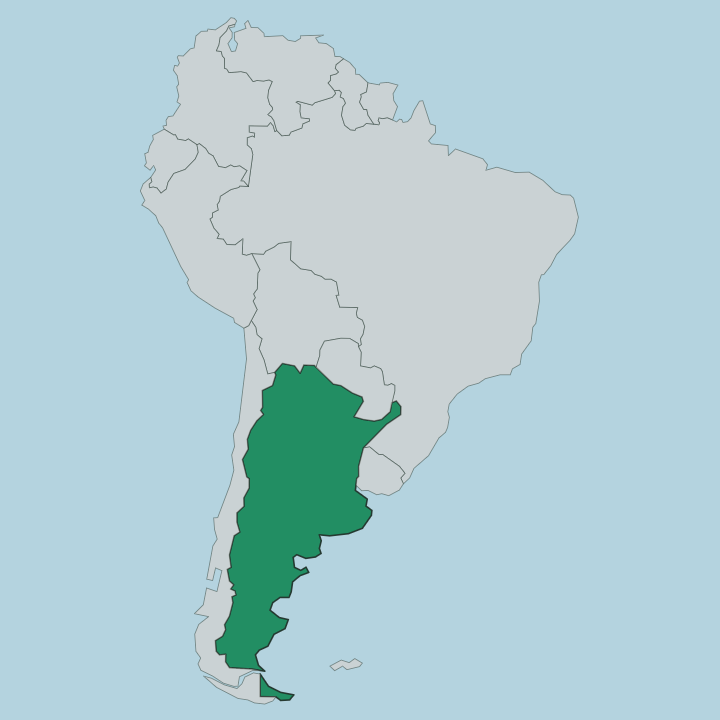
Salta occupies the northwest of Argentina, and it wraps almost entirely around the smaller province of Jujuy. Its edges are borders. Bolivia lies to the north, Chile to the west across the highest wall of the Andes, and a ring of Argentine provinces closes off the east and south.
The land tilts hard from west to east. The western third is puna, a cold salt-flat desert above 3,000 metres where the Tren a las Nubes runs out from San Antonio de los Cobres. Below that the Andean spurs break into the Calchaquí Valleys, the dry terraced country around Cachi and Cafayate where the vineyards sit.
The valleys give way to the Yungas, a band of subtropical cloud forest on the humid eastern slope. Then the mountains stop. The flat scrub of the Gran Chaco takes over toward the border with Paraguay, and Salta city sits in the middle of all this, in the irrigated Lerma valley just east of the mountains.
Few provinces pack so many landscapes into one drive. You can leave the salt desert in the morning and reach the cloud forest by afternoon.
What is Salta Province like?
Salta wears its Spanish inheritance more openly than almost anywhere in Argentina. The capital kept its colonial cathedral and its low arcaded streets when earthquakes flattened much of the old northwest, and the pink Cabildo still faces Plaza 9 de Julio. The gaucho is the other half of the picture.
Salteños hold Martín Miguel de Güemes as a founding hero, the horseman-governor who raised the local gauchos against Spain, and his red-poncho riders still turn out on the June anniversary of his death. Folklore runs deep in this country. The peña, a night of live folk song and empanadas, is a Salta institution as much as a tourist show.
Andean roots sit underneath the Spanish surface. In the puna towns like San Antonio de los Cobres, Quechua and Kolla traditions carry on, and llama meat and coca show up on the table. Wine ties the valleys together, the crisp white Torrontés of Cafayate above all.
Spanish is the working language everywhere. The mix of colonial city, mountain gaucho, and Andean village is what gives the province its particular grain.
What is the history of Salta Province?
Spain founded Salta city in 1582 as a staging post on the silver road between the Potosí mines and Buenos Aires. That trade route made the region matter. When the wars of independence came, the north was the front line: Manuel Belgrano beat the royalists at the Battle of Salta in 1813, and the province was formally created in 1814.
Its defining figure was Martín Miguel de Güemes, the gaucho governor whose mounted militias held off royalist invasions from the Bolivian highlands until his death in 1821. The province those wars carved out originally reached far past its present edges, taking in what is now Jujuy.
What is the climate of Salta Province?
Altitude decides the weather here, not the season. Salta city sits high enough in the Lerma valley to stay mild year-round, with warm damp summers and dry sunny winters whose nights turn cold. The Calchaquí Valleys around Cafayate are drier still, and it is that dry sun at altitude that ripens the Torrontés.
Climb west into the puna above San Antonio de los Cobres and the air turns thin and cold, freezing hard after dark even when the day was bright. Down on the eastern Yungas slope the cloud forest stays humid and green. Spring and autumn bring the steadiest skies.
How do you get to Salta Province?
Reaching Salta Province usually means flying. Salta city's Martín Miguel de Güemes airport is the busiest in northern Argentina, a short hop southwest of the centre and linked by daily flights to Buenos Aires. From the capital everything is road.
Route 68 runs south through the Quebrada de las Conchas to Cafayate, and the switchbacks of the Cuesta del Obispo climb west over the mountains to Cachi. The Tren a las Nubes no longer carries travellers all the way up from the city; the ride now starts at San Antonio de los Cobres in the puna. Bolivia lies over the border to the north, Chile through the high Andean passes to the west.
Good for
Updated July 2026