Chile
Región de Magallanes y Antártica Chilena, Chile — Towns & Travel Guide


Chile's southernmost region, wrapped around the Strait of Magellan, where Patagonian steppe meets fjords, glaciers and Cape Horn.
Find your area →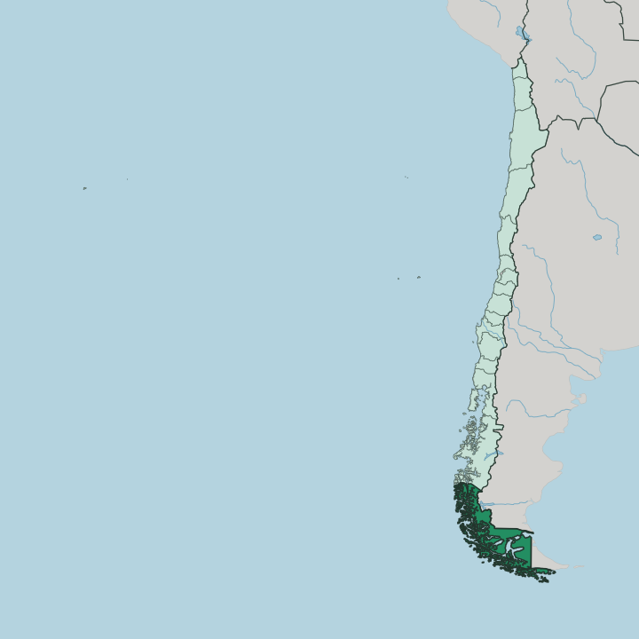
Towns & cities in Región de Magallanes y Antártica Chilena
Pick a town or city — each links to where to stay.
 Chile
Chile
Punta Arenas
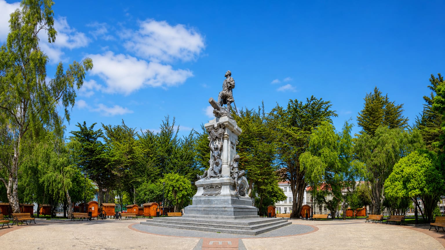
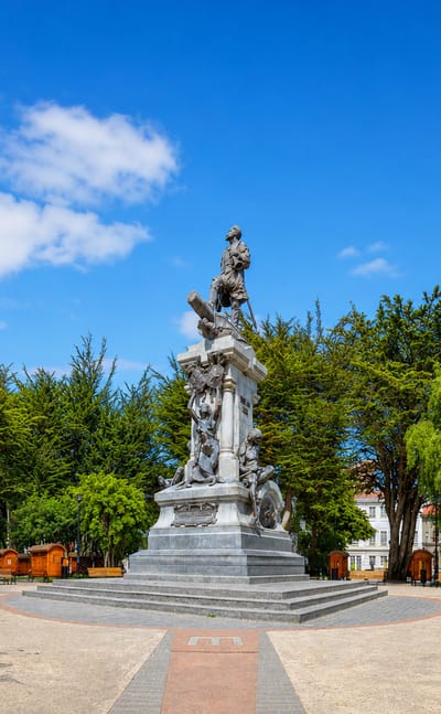
Cold ocean light falls on Punta Arenas, a far southern port in Chilean Patagonia and capital of the Magallanes region, among the southernmost cities in…Where to stay →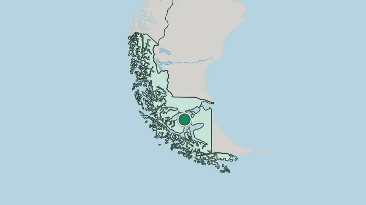
About Región de Magallanes y Antártica Chilena
What is Región de Magallanes y Antártica Chilena known for?
This is Chile's far south. Its emblem is the Strait of Magellan, the sea passage between the Atlantic and the Pacific that gave the region its name and made it, for a time, the busiest sea lane in the Americas. Punta Arenas, the capital, sits on that shore.
Inland rise the granite spires of Torres del Paine, one of the most walked national parks in South America. Beyond the mainland lie the islands of Tierra del Fuego and, at the very tip, the cliffs of Cape Horn.
Where is Región de Magallanes y Antártica Chilena?
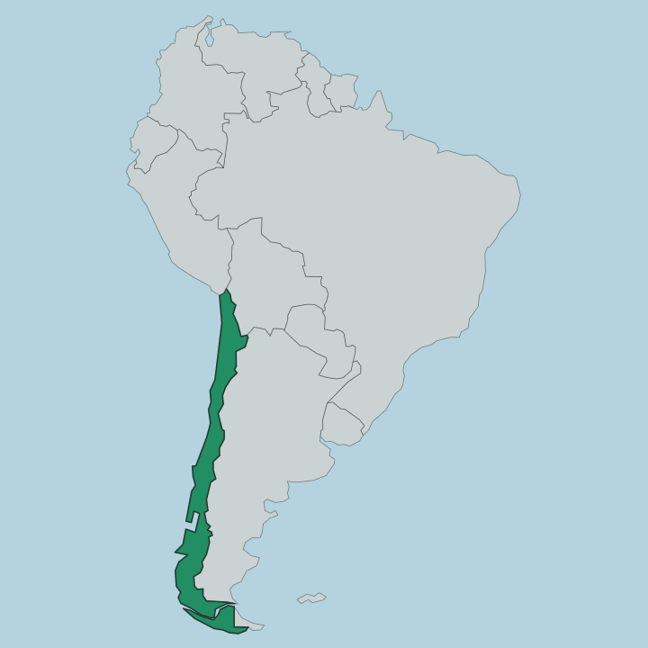
The region fills the southern end of Chile, below the rest of the country and the wider region of Patagonia. It is a broken land. The Andes, which run the length of Chile, sink here into a maze of fjords, channels and offshore islands rather than a single spine.
Down the middle runs the Strait of Magellan, the waterway between the Atlantic and the Pacific that separates the South American mainland from the archipelago of Tierra del Fuego. West of the mountains the coast is drenched, carved into deep inlets and hung with tidewater glaciers that grind down out of the ice fields and calve straight into the sea. East of them the land dries out.
Flat Patagonian steppe rolls east toward Argentina, open grassland grazed by sheep and wild guanaco. Punta Arenas stands on the Brunswick Peninsula, along the northern shore of the Strait of Magellan. Torres del Paine rises inland to the north, near the town of Puerto Natales on the Última Esperanza Sound.
Further south, past the strait, lie the islands. Puerto Williams sits on Navarino Island along the Beagle Channel, and beyond it the land finally ends at Cape Horn, where the Atlantic and the Pacific meet in open water. The region also lays claim to a wedge of Antarctica, which is how it came by its full name.
What is Región de Magallanes y Antártica Chilena like?
Long before any European ship, the far south belonged to its first peoples. The Selk'nam hunted guanaco on the open ground of Tierra del Fuego. Kawésqar families paddled the western channels in bark canoes, and the Yaghan lived along the Beagle Channel as the southernmost people on earth.
Then came the sheep. The spread of ranching in the late nineteenth century proved catastrophic for them; disease, dispossession and outright killing emptied the land of its first peoples within two generations. The society that replaced them was built on wool.
Great estancias spread across the Patagonian grassland, and a rush of settlers came to work them. Many were Croatian, and their descendants still fill Punta Arenas and the town of Porvenir on Tierra del Fuego, in surnames, food and old sheep-country families. The wealth of the wool boom raised the ornate mansions that still line the main square of Punta Arenas.
Distance shapes the temperament here. Cut off from central Chile by hundreds of miles of ice and water, Magallanes keeps a proud regional identity of its own, weather-hardened and closer in feel to the wind than to the capital far to the north.
What is the history of Región de Magallanes y Antártica Chilena?
The strait carries the name of Ferdinand Magellan, whose expedition threaded it in 1520 as the first Europeans to pass between the oceans here. Early Spanish colonies starved. Chile claimed the strait in 1843, raising the fort of Fuerte Bulnes on its northern side, and five years later moved the settlement north to found Punta Arenas in 1848.
For decades every ship rounding South America stopped at that port, which made the town rich until the Panama Canal opened in 1914 and the sea traffic drained away.
What is the climate of Región de Magallanes y Antártica Chilena?
The wind rules everything here. A cool, wet subpolar climate blows in off the Pacific on near-constant westerlies, and the weather can turn four times in an afternoon. West of the Andes the fjord coast is soaked, feeding the glaciers that spill toward the Strait of Magellan.
East of the mountains the air dries out into the sheltered Patagonian steppe around Punta Arenas, where rain is scarce but the gales are not. Summers stay cool and long-lit; winters are dark, snowbound and raw.
How do you get to Región de Magallanes y Antártica Chilena?
Nearly everyone flies. No road connects this region to the rest of Chile without crossing into Argentina, so the airport at Punta Arenas does the heavy lifting, with frequent flights up to Santiago. From the capital of the region, buses run north to Puerto Natales for Torres del Paine, and ferries cross the Strait of Magellan to the settlements on Tierra del Fuego.
Smaller flights and boats carry travellers on to Puerto Williams and the deep south.
Common questions
What is the best area to stay in Región de Magallanes y Antártica Chilena?
Punta Arenas: a first base and the Strait of Magellan.
Good for
Updated July 2026