Colombia
Departamento del Cauca, Colombia — Towns & Travel Guide


Cauca is a department of southwestern Colombia, running from the Pacific coast up into the Andes around its white colonial capital, Popayán.
About Departamento del Cauca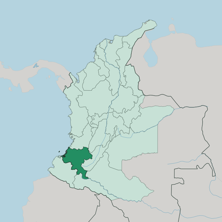
Towns & cities in Departamento del Cauca
Pick a town or city — each links to where to stay.
Popayán is the natural base, and almost every trip into Cauca begins in its walkable colonial core. From there the department splits three ways. The Andean highlands to the east hold the Puracé volcano and the Tuesday market town of Silvia; the Patía valley drops south toward Nariño; and the far west falls away to the Pacific coast.
Stay in Popayán for the churches and the Holy Week route, then push east into the mountains for volcanoes, hot springs, and the Misak highlands around Silvia.
About Departamento del Cauca
What is Departamento del Cauca known for?
Cauca is best known for Popayán, its capital, a colonial town of whitewashed churches and mansions that gives it the nickname the White City. Its Holy Week processions, held every year since 1556, are inscribed on the UNESCO list of intangible heritage. Beyond the town the department climbs fast.
The Colombian Massif to the south feeds the headwaters of both the Cauca and the Patía rivers, and the Puracé volcano smokes above the highlands to the east.
Where is Departamento del Cauca?
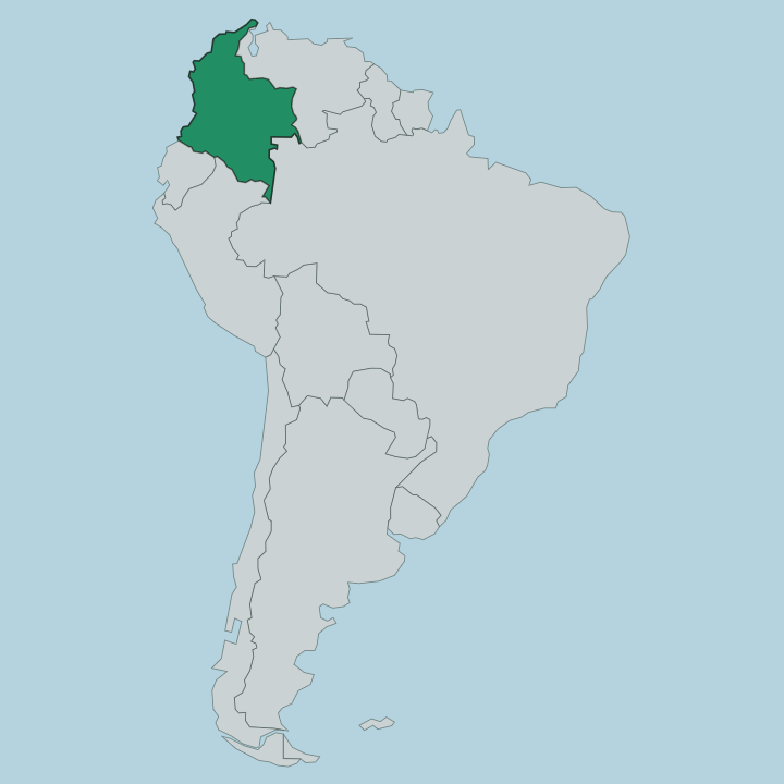
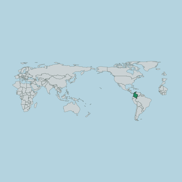
Cauca sits in southwestern Colombia, wedged between the Pacific Ocean on the west and the eastern edge of the Andes. It borders six departments. Valle del Cauca lies to the north, Tolima and Huila to the northeast and east, Nariño to the south, and Caquetá and Putumayo across the southeastern corner where the mountains break toward the Amazon.
The land climbs in bands as you move inland from the coast, and the department crosses nearly every altitude Colombia has to offer within a single day's drive. A low, wet Pacific plain of mangrove and slow rivers runs along the shore. Behind it rise the two Andean ranges, the Western and Central cordilleras, the mountain walls that frame the whole department.
Between those ranges the Colombian Massif knots them together in the south. This is the water tower of the country. The Cauca River and the Patía River both begin here, near Popayán, then run in opposite directions, one north toward the Caribbean and one west to the Pacific.
The Puracé volcano rises to the east above the capital, one of several cones in a live volcanic chain. Popayán itself stands on a high plateau at around 1,760 metres, cool and green, ringed by peaks on almost every side.
What is Departamento del Cauca like?
Cauca is one of the most mixed corners of Colombia, and three worlds meet in it. Popayán carries the Spanish inheritance most visibly. Its aristocratic families gave the young republic a long line of statesmen, and the town still keeps a formal, churchgoing air behind its white walls.
The great expression of that heritage is Holy Week. Since 1556 the people of Popayán have carried heavy reliquary floats through the streets by night in the days before Easter, a rite so deeply rooted that UNESCO added it to the list of intangible cultural heritage of humanity. The second world is Indigenous, and it is very much alive.
Two peoples anchor it. The Nasa and the Misak hold large highland reservations across the department, and on Tuesdays the Misak come down to the market at Silvia in hand-woven blue and pink ruanas to trade. Afro-Colombian culture is the third strand, strongest along the Pacific coast and in the warm cane towns of the north, where marimba music and river culture set the rhythm.
Popayán is also a working kitchen. UNESCO named it a City of Gastronomy, the first in Latin America, for a table built on empanadas de pipián, tamales, and carantanta.
What is the history of Departamento del Cauca?
Popayán was founded in 1537 by the conquistador Sebastián de Belalcázar, and its position on the road between Quito, Lima, and Cartagena made it one of the richest colonial towns in the north of South America. Gold from the surrounding mountains, worked by enslaved Africans and Indigenous labour, paid for the churches and mansions that still line its streets. The department itself was organised in 1857, once a far larger sovereign Cauca State that reached to the Pacific and beyond.
It has since been carved down. Valle del Cauca, Nariño, and other departments were cut from the old state, leaving the smaller Cauca of the present day.
What is the climate of Departamento del Cauca?
Climate in Cauca is a matter of height, not season. Popayán, on its plateau, holds a steady spring-like cool of around 18 degrees, warm by day and fresh at night, with short afternoon showers much of the year. Climb east toward the Puracé volcano and the Colombian Massif and it turns genuinely cold, with páramo grassland and frost near the summits.
The Pacific coast is the opposite extreme. There the lowland shore is hot, humid, and among the rainiest country on earth.
How do you get to Departamento del Cauca?
Most visitors reach Cauca through Popayán. Its small airport, Guillermo León Valencia, sits just north of the centre and takes daily flights from Bogotá in a little over an hour. Many travellers arrive overland instead, on the Pan-American Highway that threads down the Andes from Cali in Valle del Cauca to the north and on toward Nariño in the south.
From Popayán, mountain roads climb east to the Puracé volcano and Silvia, while the remote Pacific coast towns of Guapi and Timbiquí are reached mainly by boat or light aircraft.
Good for
Updated July 2026