Colombia
Departamento del Magdalena, Colombia — Towns & Travel Guide


Magdalena runs from Caribbean beaches up to the snow of the Sierra Nevada de Santa Marta, with Santa Marta as its old port capital.
About Departamento del Magdalena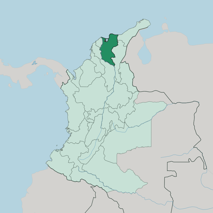
Towns & cities in Departamento del Magdalena
Pick a town or city — each links to where to stay.
 Colombia
Santa Marta
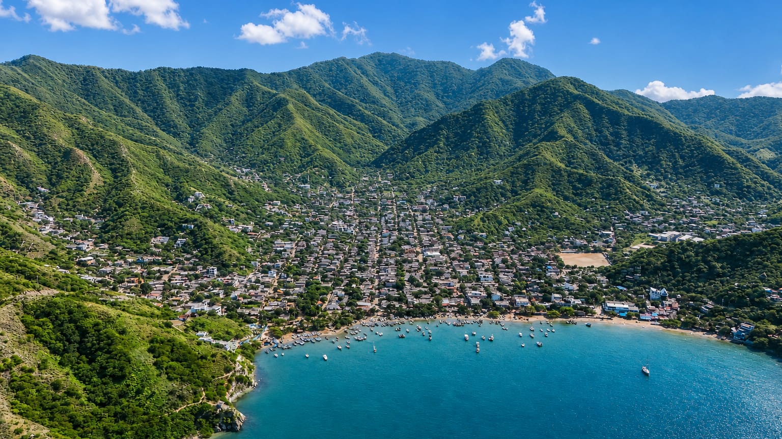
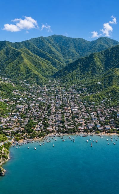
The Caribbean laps the old quays at Santa Marta, a port city on Colombia's Costa Norte and capital of the Departamento del Magdalena.Where to stay →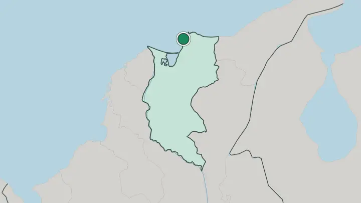
About Departamento del Magdalena
What is Departamento del Magdalena known for?
Magdalena packs the Caribbean coast and a snow-capped range into one small department. Santa Marta anchors it. Founded by the Spanish in 1525, the capital is the oldest surviving city in Colombia and the base for trips into the Sierra Nevada de Santa Marta, the range that rises straight from the sea.
The department is also Macondo country: the writer Gabriel García Márquez was born inland at Aracataca, and the old banana zone around it fed the world of One Hundred Years of Solitude. Beaches, jungle, and coffee hills sit within a short drive of one another.
Where is Departamento del Magdalena?
Magdalena occupies the northern rim of Colombia, on the Caribbean coast between the sea and two great rivers. The Caribbean Sea forms its whole northern edge. To the west, the Magdalena River, the country's main artery, separates it from Bolívar and Atlántico, while the Cesar and La Guajira departments lie to the east and north-east.
One feature dominates everything. The Sierra Nevada de Santa Marta rises straight from the shoreline to permanent snow, the highest coastal range on Earth, packing beach, cloud forest, and glacier into a handful of horizontal kilometres. At the range's western foot spreads the Ciénaga Grande de Santa Marta, the largest coastal lagoon in the country, where rivers off the Sierra meet Caribbean tides in a maze of mangroves.
Fishing villages stand on stilts over the water. South and west of it stretch the flat, hot lowlands of the old banana zone, threaded by the Sevilla, Fundación, and Aracataca rivers running down from the heights. The department is compact by Colombian standards, yet it holds beaches, wetland, and permanent snow at once.
Few places on the coast change so much over so little ground.
What is Departamento del Magdalena like?
Magdalena is Caribbean Colombia at full volume, built on accordion music, indigenous mountain cultures, and the memory of the banana boom. Vallenato was born here. The accordion-driven song of the Greater Magdalena plains, carried on UNESCO's list of intangible heritage, still sets the rhythm at festivals and street corners across the department, alongside the cumbia that spread from this coast to the rest of the country.
The Sierra Nevada above the towns belongs to the Kogi, Wiwa, and Arhuaco peoples, descendants of the Tairona who built Ciudad Perdida in the eighth century, and their terraced mountain world stays sacred and largely closed to outsiders. Down on the plain, the old banana zone gave the world its most famous fiction. Gabriel García Márquez grew up in Aracataca and turned it into Macondo, and the sleepy heat, the almond trees, and the 1928 banana-workers' strike run straight through One Hundred Years of Solitude.
Food leans coastal and unfussy. Fried fish, coconut rice, and arepas turn up at every table, washed down with strong tinto coffee from the Minca hills. The mix of African, indigenous, and Spanish roots is audible in every song.
What is the history of Departamento del Magdalena?
The Tairona came first. Long before Spain arrived, they built stone-terraced cities across the Sierra Nevada, among them Ciudad Perdida, founded around the year 800 and hidden in the forest for centuries. Rodrigo de Bastidas planted Santa Marta on the bay in 1525, giving the Spanish crown its first lasting foothold in what became Colombia.
The department itself was organised in 1825. Its later fortunes rode the banana trade that United Fruit ran through Ciénaga and Aracataca, a boom that ended in the deadly 1928 workers' strike. Bolívar died near Santa Marta in 1830.
What is the climate of Departamento del Magdalena?
The coast is hot. Santa Marta and the lowlands run warm and humid all year, with a tropical savanna climate and two rainy spells, roughly March to May and September to November, split by drier windows around December and mid-year. What changes the picture is altitude: climb the Sierra Nevada de Santa Marta toward Minca and the cloud forest, and the air cools fast, the peaks staying under snow while the shore below bakes.
Dry season brings the clearest days on Tayrona's beaches. Rain is heaviest against the northern slopes.
How do you get to Departamento del Magdalena?
Most travellers fly into Santa Marta. Simón Bolívar International Airport sits on the coast a short drive south of the centre, with frequent flights from Bogotá plus a link to Panama City. Overland, buses run in from Barranquilla and Cartagena along the Caribbean coast, crossing the Magdalena River on the way.
From Santa Marta's market, shared vans fan out to Minca in the hills, to Tayrona National Natural Park, and east along the shore toward Palomino. Reaching Ciudad Perdida still means a multi-day trek on foot into the Sierra Nevada.
Good for
Updated July 2026