Ethiopia
Amhara Region, Ethiopia — Towns & Travel Guide


Amhara is the highland heart of northern Ethiopia, home to Lake Tana, the castles of Gondar, and the rock churches of Lalibela.
About Amhara Region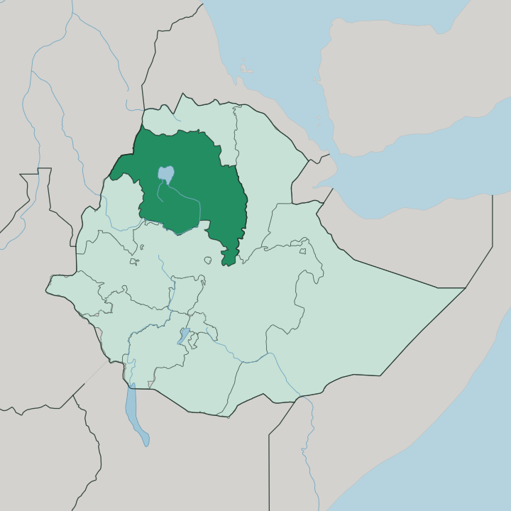
Towns & cities in Amhara Region
Pick a town or city — each links to where to stay.
Bahir Dar is the natural base, a lakeside city where most Amhara trips begin and the Blue Nile spills out of Lake Tana toward the gorge. Gondar suits travellers drawn to the imperial castles. Lalibela is the place to sleep for the rock-hewn churches, a full day north through the highlands.
Dessie anchors the eastern road. Choose Bahir Dar for the lake and its island monasteries; choose Gondar or Lalibela when the medieval stonework is the reason you came.
About Amhara Region
What is Amhara Region known for?
Amhara fills the northern highlands of Ethiopia, and its draws are old and monumental. Bahir Dar sits on the southern shore of Lake Tana, the largest lake in the country and the source from which the Blue Nile begins its long descent. Gondar keeps the castles.
Lalibela holds eleven churches carved down into the living rock. The Simien Mountains rise to the north, jagged and cold, crowned by Ras Dashen. This is the heart of the historic route.
Where is Amhara Region?
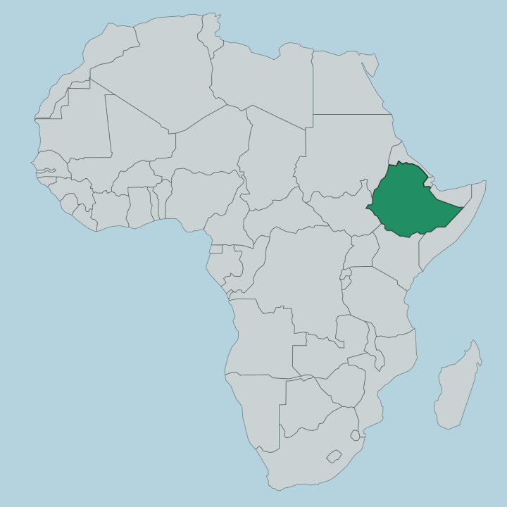
Amhara occupies the northern highlands of Ethiopia, a plateau of volcanic rock cut by deep gorges and rivers. Lake Tana lies near its western edge, the largest inland body of water in the country, and the Blue Nile pours from its southern outlet to begin the descent toward Sudan. The Simien Mountains stand to the north.
Their ridges hold Ras Dashen, the highest peak in Ethiopia, rising above four thousand metres of cold escarpment. The land is high. Sudan borders the region to the west and north-west, while Tigray sits to the north, Afar to the east, and Oromia across the southern boundary.
Bahir Dar, the regional capital, stands on the lake shore. Gondar lies to its north on the road toward the mountains, and Lalibela further east again in the district of Lasta. Between these towns the plateau folds into valleys thousands of feet deep, carved over ages by the rivers draining toward the Nile.
What is Amhara Region like?
Amhara is the homeland of the Amhara people, and their language, Amharic, is written in the same Ethiopic script used for church liturgy. The Ethiopian Orthodox Tewahedo Church shapes the calendar and the landscape alike. Its round stone churches stand on the islands of Lake Tana, and its monasteries have guarded illuminated manuscripts for centuries.
Faith is everywhere here. Timkat, the feast of Epiphany, fills the streets of Gondar and Lalibela each January, when priests carry the tabot in procession to blessed water and back. Bahir Dar, Gondar, and Lalibela each keep their own rhythm of markets, coffee ceremonies, and fasting seasons.
The region also holds the Awi, the Argobba, and the Qemant, older communities whose customs predate the modern map. Music, weaving, and the slow ritual of roasting coffee run through daily life across the plateau.
What is the history of Amhara Region?
Amhara stands at the old core of Christian Ethiopia. The Zagwe king Gebre Meskel Lalibela ordered the rock-hewn churches of Lalibela in the twelfth and thirteenth centuries, a new Jerusalem cut from stone. Later the Solomonic emperors ruled from moving camps across these highlands.
In 1636 Fasilides fixed his capital at Gondar and raised the first of the castles of Fasil Ghebbi, and for two centuries the town held the imperial court. The past is close.
What is the climate of Amhara Region?
Amhara has the cool, thin-aired climate of high country, moderated by altitude rather than by any sea. The plateau holds two seasons. A long rainy spell runs from June through September, when storms feed Lake Tana and swell the Blue Nile.
The rest of the year stays dry and bright, with warm days and cold nights on the higher ground toward the Simien Mountains. Mornings can bite up there.
How do you get to Amhara Region?
Most visitors reach Amhara by air on the Historic Route flights that link the highland towns. Bahir Dar, Gondar, and Lalibela each keep an airport served daily from the Ethiopian capital, so a traveller can hop between the lake, the castles, and the churches in a single trip. Roads climb between them too.
The drive from Bahir Dar to Gondar takes a few hours across the plateau. Buses run the same highland routes for those with time to spare.
Good for
Updated July 2026