Ethiopia
Dire Dawa Region, Ethiopia — Towns & Travel Guide


Dire Dawa is a railway-born chartered region of eastern Ethiopia, set on the Dechatu River at the foot of encircling cliffs.
About Dire Dawa Region
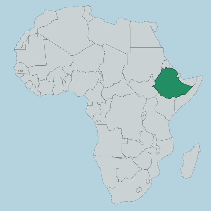
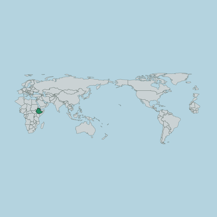
Towns & cities in Dire Dawa Region
Pick a town or city — each links to where to stay.
The Dechatu River splits the region's one real city in two, and where you sleep depends on which side you choose. Kezira, west of the riverbed, is the French-planned grid: shaded avenues fan out from the square in front of the old railway station, lined with colonial-era arcades, and most of the hotels sit here. Across the dry channel lies Magala, the older market quarter whose name means both market and town in Somali and Oromo.
Its lanes tangle around the stalls. Beyond the built-up centre the region is thin country of cliffs and dry riverbeds, so a bed here means a bed in the city itself. Stay in Kezira for order and rooms; cross to Magala for the crowds and the trade.
About Dire Dawa Region
The railway made this place.
What is Dire Dawa Region known for?
When the French line from the port of Djibouti reached the plain on 24 December 1902, engineers laid out a brand-new town where none had stood, and everything since has grown from that station. Dire Dawa became the country's second-largest urban centre after Addis Ababa, and one of only two chartered regions that answer directly to the federal government rather than to a wider state. It trades on movement: goods off the trains, khat from the surrounding hills, and the crowded stalls of the Kefira market drawing Oromo, Somali, Amhara and Harari sellers together.
Where is Dire Dawa Region?
Dire Dawa lies in eastern Ethiopia, on the seasonal Dechatu River where it spills out of the highlands onto a hot, low plain. A ring of cliffs stands over the town. The region is small and almost landlocked by its neighbours, an enclave of just over a thousand square kilometres carved out of the surrounding country.
The Oromia Region wraps around most of its edges, and the Somali Region begins not far to the east, so the plain here already carries the feel of the lowlands that run on toward the Red Sea coast. Everything turns on the river. It runs dry for much of the year, then floods after the rains, and the city grew along both its banks.
Kezira sits west of the channel and Magala to the east. South of the region, back up in the hills, stands the old walled city of Harar, from which Dire Dawa took its early name of New Harar. The railway that made the town runs northeast from here down toward the port of Djibouti, and southwest toward Addis Ababa across the Ethiopian interior.
Water, cliffs and that single line of track fix the place.
What is Dire Dawa Region like?
This is a mixing town. Oromo, Amhara, Somali, Gurage and Harari all live here, and you will hear Afaan Oromo, Amharic and Somali traded across the same market stall in a single morning. It began that way.
Railway workers, European staff of the line, and Somali and Arab merchants who settled around the market gave the place its founding blend, and it still holds. Locals call themselves ye dire lij, children of Dire Dawa, proud to belong to a town owned by no single group. Most of the region is Muslim, with an Ethiopian Orthodox minority alongside, so mosque and church share the same streets.
Then there is khat. The mild stimulant leaf, chewed right across the Horn of Africa, grows in the surrounding hills and is traded hard through the region, its afternoon markets a fixture of daily life. Food leans to the spiced eastern Ethiopian table, shared from a common plate.
The old French-built arcades of Kezira give the centre a look found in few other Ethiopian towns. It reads as its own thing, neither highland nor coast.
What is the history of Dire Dawa Region?
Dire Dawa is young for an Ethiopian place. It began on 24 December 1902, the day the French railway from Djibouti reached the plain, and it was raised as New Harar because the engineers had steered the line north of the mountains to spare the old walled city of Harar the climb. The country around had older masters.
It fell within the medieval Adal Sultanate and later the Emirate of Harar, until Menelik II took Harar in 1887. The new railway town soon outgrew its parent. In 2004 the federal parliament granted it a charter, making it one of two self-governing chartered regions.
What is the climate of Dire Dawa Region?
Dire Dawa runs hot and dry. Down on the plain below the highlands the days are warm the year round, with a hot semi-arid feel that tips toward savanna, and the encircling cliffs trap the heat over the town. Rain comes in two spells rather than one long wet season: a short one across March and April, and the heavier rains through July and August that can send the Dechatu River into sudden flood.
Between them the riverbed lies dry and the plain bakes. Nights bring some relief off the surrounding heights.
How do you get to Dire Dawa Region?
For most, the plane is the way to Dire Dawa. Dire Dawa's airport is one of the busiest outside Addis Ababa, and a short hop from the capital drops you straight onto the plain. The capital is close.
The other way is the rail line that created the place: the modern electric railway between Addis Ababa and the port of Djibouti stops here, tracing the route of the old French line northeast toward the coast. Roads climb up to Harar in the hills to the south and run out across Oromia. However you come, the region is a hub for the whole eastern corner of the country.
Updated July 2026