India
Mizoram, India — Towns & Travel Guide


Mizoram is a hill state in far north-eastern India, a run of forested ridges above the plains, capital Aizawl.
About Mizoram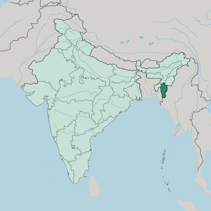
Towns & cities in Mizoram
Pick a town or city — each links to where to stay.
Aizawl holds the beds. Nearly every trip starts on its ridge, and most visitors settle there before taking the day roads out into the hills. Lunglei, the second town, lies well to the south and draws its name from a bridge-shaped rock in the Nghasih.
Far east against Myanmar sits Champhai, ringed by the rice terraces that earned it the name rice bowl of Mizoram, a broad basin unusual in this vertical state. Phawngpui rises alone in the southeast. Stay in Aizawl for a first visit; head down to Lunglei or across to Champhai when you want the quieter country beyond the capital.
About Mizoram
What is Mizoram known for?
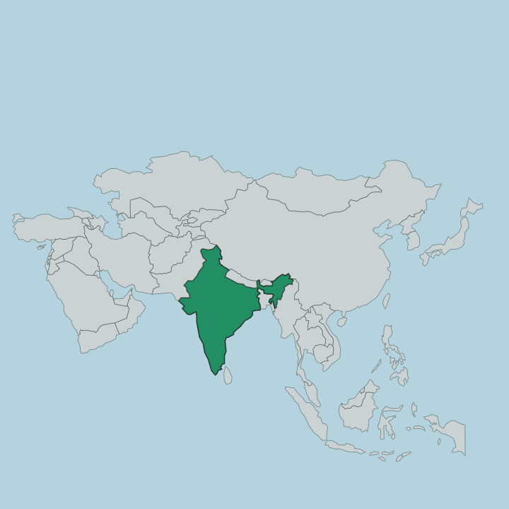
Mizoram is the land of the Mizo, a people whose name means highlanders. It sits in the far corner of north-eastern India, wedged between Myanmar to the east and Bangladesh to the west, and nearly the whole state is upland. Bamboo covers the slopes.
The capital, Aizawl, rides a long ridge north of centre, its houses stacked down the hillsides. Above almost everything stands Phawngpui, the Blue Mountain, the highest peak in the southeast. Nine in ten Mizo are Christian, mostly Protestant, and that faith shapes daily life across the hills.
Where is Mizoram?
Mizoram fills the southern tip of north-eastern India, a wedge of hills reaching down between two countries. Myanmar borders it along the whole east and much of the south, while Bangladesh presses against the west. Three Indian states close the top of the wedge. Assam lies to the north, Manipur to the north-east, and Tripura to the north-west, and beyond the southern hills the land runs on into Myanmar.
The terrain is almost all ridge and valley. Parallel ranges run north to south the length of the state, part of the Arakan chain, their crests forested and their sides dropping into narrow river gorges. Water divides according to which way the ridges tilt.
The Tlawng and its neighbouring rivers drain the northern hills and flow out to the Barak on the Assam plain. In the south the Chhimtuipui, known downstream as the Kaladan, carries the greatest volume of any river in Mizoram and runs on into Myanmar toward the sea. Rising over the whole southeastern corner is Phawngpui, the Blue Mountain, the highest ground in the state.
Aizawl, the capital, holds the north-central ridges. Little of Mizoram is flat.
What is Mizoram like?
Mizoram is one of the few Christian-majority states in India, and church life anchors the week for the Mizo. Around nine in ten are Christian, most of them Protestant, the result of conversions that swept the hills within a couple of generations of the first missionaries. Sunday is quiet.
Choirs and hymn singing carry across the ridges, and the church is often the largest building in a village. Older custom runs alongside the faith rather than under it, and the guiding idea is tlawmngaihna, an unwritten code of selfless hospitality and service to others that the Mizo hold as the measure of a good person. The Mizo are practised weavers, and the striped cloth called puan is worn and given at every festival and rite.
Mizo is the shared tongue, written in the Roman alphabet because the language never had a script of its own, and English stands beside it as the second official language. Feasts follow the farming year. Chapchar Kut, the spring festival that marks the clearing of the jungle for cultivation, fills Aizawl with dance and drums.
Community counts for a great deal here.
What is the history of Mizoram?
The British annexed these hills late in the nineteenth century and ran them as the Lushai Hills District, tied to Assam. That name held for decades. A crushing bamboo famine in the late 1950s bred deep grievance, and an armed insurgency under the Mizo National Front ran through the hills for twenty years until the Mizoram Peace Accord of 1986 brought it to an end.
Peace came slowly. The territory had been carved out of Assam as a union territory in 1972, and on 20 February 1987 it became a full state, the twenty-third of the Indian union.
What is the climate of Mizoram?
Mizoram runs mild and green, spared the heat of the plains by its height. The hills keep the air cooler than the lowlands of Bangladesh and Assam that ring the state, with warm days and pleasantly cool nights on the higher ridges around Aizawl. Then the rain comes.
The southwest monsoon soaks the hills from June to September, and the state takes a heavy drenching each year that feeds the bamboo and the forest. Winters are dry and clear.
How do you get to Mizoram?
Flying is how most travellers reach Mizoram. Lengpui Airport, cut into a hilltop west of the capital, is the state's air gateway and links Aizawl with the larger cities of India. The land approach comes overland from Assam to the north, since the ridges rule out any easy route.
No railway climbs far into the hills, so from the airport or the state border it is roads the rest of the way, winding up and over the ranges between the towns. Inside Mizoram every journey is a mountain drive.
Good for
Updated July 2026