Iraq
Muthanna Governorate, Iraq — Towns & Travel Guide


Muthanna is Iraq's desert south, where the Euphrates skirts the ruins of ancient Uruk on the road between Baghdad and Basra.
About Muthanna Governorate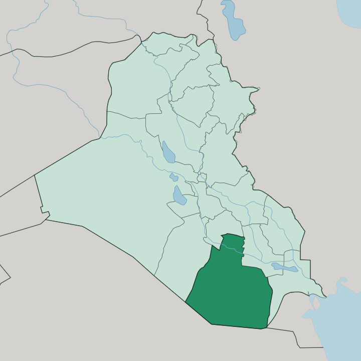
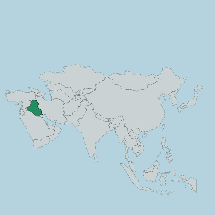
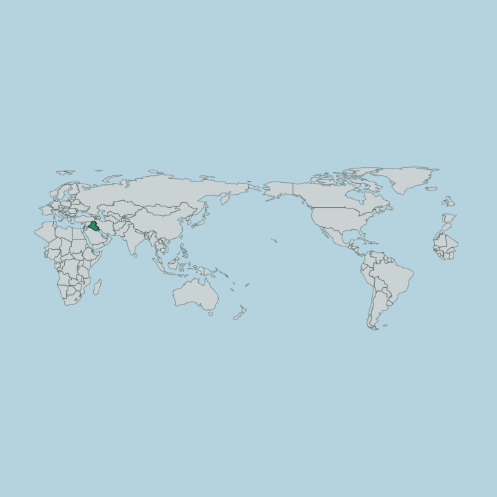
Towns & cities in Muthanna Governorate
Pick a town or city — each links to where to stay.
Samawah is the only practical base in Muthanna. The capital sits on the Euphrates in the north, and everything else in the governorate is reached from it. Al-Rumaitha lies upriver among the irrigated fields, Al-Khidr downstream toward the ruins of Uruk, and Al-Salman far out in the desert toward the Saudi border.
Beds are thin across all of it. Stay in Samawah and drive out; the desert districts have almost no traveller lodging of their own.
About Muthanna Governorate
Sand is the headline.
What is Muthanna Governorate known for?
Desert covers roughly five parts in six of Muthanna, and the badiya rolls unbroken south toward the borders with Saudi Arabia and Kuwait. The governorate is best known for what sits at its northern edge, where the Euphrates threads past Samawah and, a short way downstream, past the buried mounds of Uruk, one of the oldest cities humankind ever built. Sawa, a salt lake ringed by gypsum, once glinted in the emptiness west of the capital.
Most travellers pass through on the Baghdad-Basra line rather than stopping.
Where is Muthanna Governorate?
Muthanna fills the south-central desert of Iraq, the country's second-largest governorate by area and one of its emptiest. It is mostly sand. Desert accounts for the great bulk of its surface, and that expanse tilts away south and west toward the long borders with Saudi Arabia and Kuwait, where settlement thins to almost nothing and the land becomes open badiya crossed only by herders and their flocks.
Life clings to the far north instead. There the Euphrates enters from the neighbouring governorates and runs a narrow green thread past Samawah, the capital, which stands on its bank some 280 kilometres down the road from Baghdad and roughly midway to Basra. Everything that grows here grows along that river.
The irrigated belt around Samawah and the towns of Al-Rumaitha and Al-Khidr is a thin ribbon against an overwhelming dryness. West of the capital lay Sawa, an endorheic salt lake fed by underground springs and rimmed by walls of gypsum, its water level once perched above the nearby river until the aquifer beneath it was pumped away. Downstream in Al-Khidr, on a dead channel the Euphrates long ago abandoned, sit the mounds of Uruk.
The four districts of Al-Samawah, Al-Rumaitha, Al-Khidr and Al-Salman divide the whole between the river and the sand.
What is Muthanna Governorate like?
Muthanna is tribal Arab country, and the tribe still orders much of daily life. The population is overwhelmingly Shia Muslim, settled along the Euphrates in the farming towns and scattered across the badiya as semi-nomadic Bedouin who keep sheep and camels on the desert grazing. Two worlds meet here.
One is the river town of Samawah, with its markets, its date gardens and its river frontage; the other is the vast southern desert, where kinship and the well matter more than any municipal line. Arabic is the language of both. This is not a wealthy place, and it does not pretend to be.
Muthanna ranks among the poorest governorates in Iraq, thinly populated, far from the capital, and shaped more by drought and dust storms than by the oil money that flows through the south's larger cities. Its deep pride is older than any of that. The land holds Uruk, reckoned among the first true cities on earth, and many trace the very name Iraq to that ancient settlement on the Euphrates.
Hospitality toward a stranger is close to law. A traveller who reaches a Bedouin camp or a river village is fed and sheltered as a matter of honour, and refusing that welcome is the surer offence.
What is the history of Muthanna Governorate?
Few places carry a deeper human record. This stretch of the Euphrates cradled Uruk, which by the late fourth millennium BC had swelled into what may have been the largest city in the world, giving Sumer its writing and its first great walls. The governorate itself is a modern creation, carved out of Diwaniyah Province in 1976 and named for al-Muthanna ibn Haritha, the seventh-century commander who led the early Muslim armies into Mesopotamia.
Between those two dates lies everything. The old land of the Sumerians became, in the end, a quiet province of the young Iraqi state.
What is the climate of Muthanna Governorate?
Muthanna runs hot and dry to the extreme. Summer is punishing across the desert south, with July highs in Samawah climbing past 45 degrees and touching 50 in the worst of it, while dust storms sweep in off the badiya and blot out the sky. Rain barely registers.
What little falls comes in short winter bursts between November and March, well under what any crop would need without the Euphrates and its canals. Winters bring mild days and cold desert nights, the temperature dropping sharply once the sun is gone.
How do you get to Muthanna Governorate?
Overland is the way in. Samawah sits squarely on the Baghdad-Basra corridor, and the road and the railway both run through it along the Euphrates, so most arrivals come by long-distance bus, shared taxi or the passenger train down from the capital. There is no busy airport of the governorate's own.
Travellers fly into Baghdad or Basra and finish the journey by land across the plain. From Samawah, reaching Uruk or the far desert districts means a hired car and a driver who knows the tracks.
Good for
Updated July 2026