Nigeria
Nasarawa State, Nigeria — Towns & Travel Guide


Nasarawa State spreads across Nigeria's Middle Belt, where the Benue River, Guinea savanna and the Eggon Hills frame the capital at Lafia.
About Nasarawa State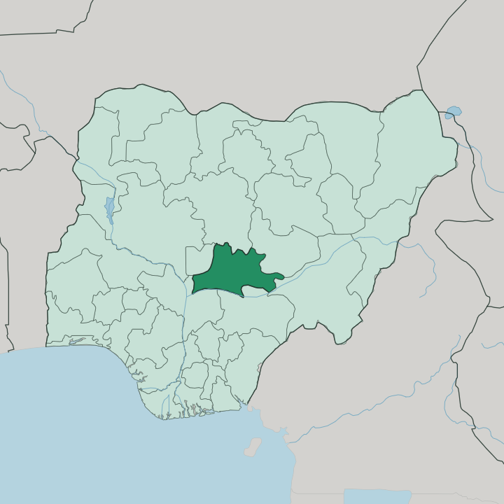
Towns & cities in Nasarawa State
Pick a town or city — each links to where to stay.
Lafia holds the fullest choice of beds. Its hotels line Shendam Road near the old Benue Valley market that first made the town, and the capital works best as a base for the eastern half of the state. Keffi sits closer in.
The Karu sprawl on the western border runs almost into the Federal Capital Territory, near enough that travellers bound for Abuja often sleep there instead. Akwanga anchors the north, the natural overnight before the climb to Farin Ruwa Falls. Choose Lafia for the east; choose Keffi or Karu when you want to shuttle to Abuja and back.
About Nasarawa State
What is Nasarawa State known for?
Nasarawa sits in the North Central belt of Nigeria, just east of the Federal Capital Territory. Diversity defines it. More than two dozen peoples share the state, among them the Eggon of the hills around Nasarawa Eggon, and their farmland runs on sesame, yam and groundnut.
The Benue River carves the southern edge, and Farin Ruwa Falls drops from the Wamba highlands as one of the tallest cascades in Africa. Lafia holds the capital in the east.
Where is Nasarawa State?
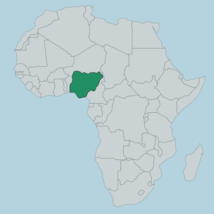
Nasarawa lies in the North Central heart of Nigeria, the country's Middle Belt. Its western border presses right against the Federal Capital Territory and the outskirts of Abuja, so the state opens straight onto the national capital, and much of its western traffic is really Abuja's. Neighbours ring the rest.
Kaduna State sits to the north, Plateau and Taraba States to the east, Benue and Kogi States across the south. The Benue River draws much of that southern line, and its tributaries fan inland to water the farms. The land is mostly tropical Guinea savanna.
Open grass gives way to wooded valleys, and the ground rises in the far north-east toward the edge of the Jos Plateau, where the Eggon Hills stand above the plain near Nasarawa Eggon. In the Wamba highlands the Farin Ruwa Falls plunges from the escarpment as one of the highest waterfalls on the continent. Southward it flattens again.
From the cropland by the river to those northern hills, the ground climbs steadily the whole way north.
What is Nasarawa State like?
Nasarawa is one of the most mixed patches of the Nigerian Middle Belt. More than two dozen peoples live here, each with its own tongue. The Eggon farm the hill country around Nasarawa Eggon, while the Alago hold the southern towns of Doma, Keana and Obi, long known for marrying across tribal lines and keeping the peace with their neighbours.
Hausa ties it together. It works as the common language of the market and the road, laid over that patchwork of local speech. At Keana the salt village still boils brine from a lake into naturally iodised salt, a craft the Alago count as the cradle of their civilisation.
Farming shapes the calendar for most of the state, and harvest and planting mark the year more than any clock. Both faiths run deep. Islam came with the Sokoto Caliphate and Christianity with the later missions, and festivals, drumming and craftwork carry the older identities forward town by town.
What is the history of Nasarawa State?
The state takes its name from the old Nassarawa Emirate. In the early 1800s the Fulani jihad swept the region into the Sokoto Caliphate, which ruled it through the vassal emirates of Keffi, Lafia and Nassarawa. British expeditions occupied the area around the turn of the century and folded it into the Northern Nigeria Protectorate, which merged into a single Nigeria in 1914.
The modern state is far younger. It was carved from the western half of Plateau State on 1 October 1996.
What is the climate of Nasarawa State?
Nasarawa runs on a tropical wet-and-dry savanna rhythm, hot the year round. The rains arrive from around April and soak the state through to October, when the Benue and its tributaries swell and the savanna turns green. Then the taps shut.
The dry months that follow are hot and hazy, and the harmattan wind drifts dust down from the north over the plain. It rarely turns cold. The northern hills near the Jos Plateau catch more rain and stay a touch cooler than the low southern farmland along the river.
How do you get to Nasarawa State?
Most travellers reach Nasarawa through Abuja. Nnamdi Azikiwe International Airport in the Federal Capital Territory is the nearest gateway, and the state begins just across its eastern border. From there the road runs east through Keffi and Akwanga toward Lafia, a few hours by taxi or bus depending on the traffic out of the capital.
Karu, on the FCT edge, is close enough to Abuja to serve as a day base. Inside the state, road is the only real way between the towns and the falls.
Updated July 2026