Sweden · Norrbotten County
Where to Stay in Gällivare, Norrbotten County


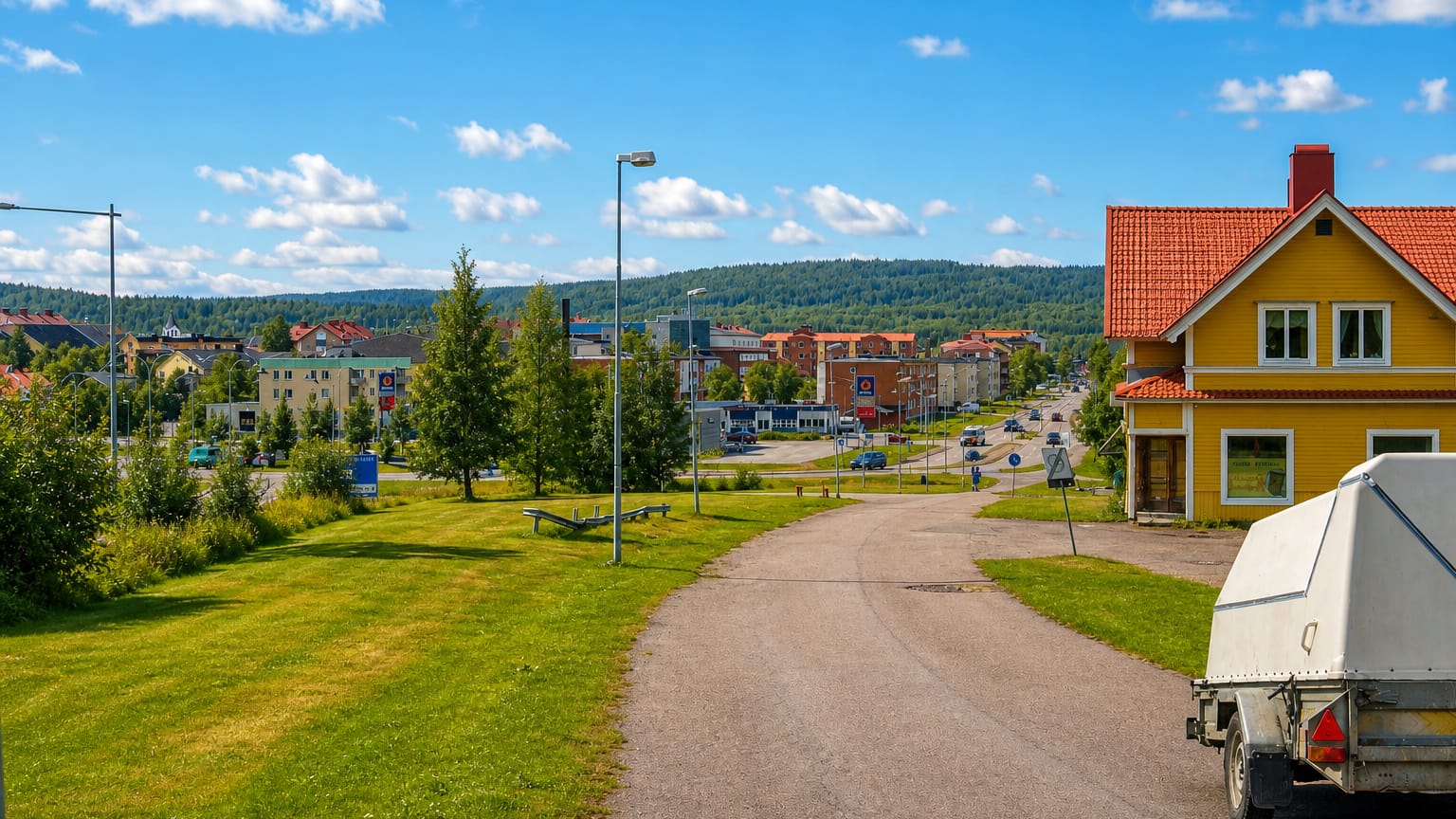
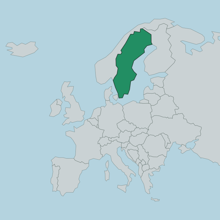
Gällivare is a municipality in Norrbotten County, north-eastern Sweden, where iron ore and the fell of Dundret shape the town beneath the Arctic light.
Find your area →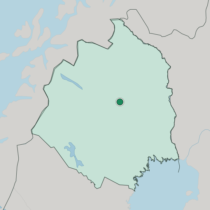
Where to stay in Gällivare
Not every neighbourhood fits every trip — here's what each one is good for.
Most beds sit in central Gällivare, the grid of streets between the railway station and Gällivare kyrka. It suits anyone arriving by train, since the Malmbanan and the Inlandsbanan both stop within walking distance of the hotels, and it puts the museum, the swimming hall and the river crossings a short stroll away. Rooms here lean practical rather than scenic.
South of the centre rises Dundret. The fell carries a cluster of cabins, a hostel and a ski lodge, and it suits travellers who want the slopes in winter or an unbroken view of the midnight sun in summer. Cabins open onto the snow.
Snow stays late on these slopes, so the cross-country season runs long. Malmberget, the older mining settlement on the ridge to the north, has given up much of its housing as the ground above the ore subsides into the pit. Beds there are scarce.
Base yourself in Gällivare instead and reach the mining sites by the short road between the two. Either way, distances within the conurbation stay small, and a car or the local bus links the centre, the fell and the old town without trouble.
Things to do in Gällivare
Ranked by global recognition; descriptions from Wikidata (CC0).
Museums & Galleries
3- Gällivare museum
- Gällivare hembygdsområde working life museum
- Gällivare museum
Churches & Religious Sites
2- Gällivare gamla kyrka Heritage
- Gällivare kyrka Heritage Church of Sweden church building
Stadiums & Sports
1- Hellnerstadion
worth knowingacross 3 categories in Gällivare
About Gällivare
The town grew on iron.
What is Gällivare known for?
Ore from the mines at nearby Malmberget built the railway and the streets, and Gällivare still works as a junction joining the Malmbanan line toward the Norwegian coast to the northern terminus of the Inlandsbanan. Sami people knew the place as Váhčir long before the shafts opened, and reindeer husbandry continues across the surrounding forest and fell. From the summit of Dundret, the sun stays above the horizon through the heart of summer.
What are the main landmarks in Gällivare?
Two churches anchor the centre. Gällivare gamla kyrka, a timber church from the 18th century, served the parish and its Sami congregation and earned the nickname 'the one-öre church' from the coins once collected to pay for it; the larger Gällivare kyrka came later to hold a growing mining town. The Gällivare museum gathers the region's mining and Sami history under one roof.
For sport, Hellnerstadion keeps a ski stadium busy with cross-country racing through the snow months. Above it all stands Dundret, the fell whose long summit draws walkers in summer and skiers in winter.
What is the history of Gällivare?
Gällivare grew up around iron ore. The Sami knew this ground long before any chapel rose, and their name for the place, Váhčir, has outlasted every regime that followed. Settlers pushed north into Lapland during the 17th century.
They came chasing the ore locked beneath the fells, and a parish slowly gathered around the church and the reindeer-herding life that ringed it. Gällivare gamla kyrka survives from that era. Then came the railway.
The Malmbanan, the Iron Ore Line, reached the district late in the 19th century and tied the ore fields to ports on two coasts. Trains carried iron west to Narvik in Norway and south to Luleå on the Gulf of Bothnia. Mining turned industrial, and the settlements spread.
Neighbouring Malmberget, raised directly atop one of Lapland's great ore bodies, eventually merged with Gällivare and Koskullskulle into a single conurbation. Gällivare also anchors the northern end of Inlandsbanan, the Inland Line into central Sweden. Mining still shapes the map.
Malmberget sits on ore so rich that the diggings hollowed the ground beneath it, and over the decades its houses have edged toward Gällivare. A museum keeps the local record, and the Hellnerstadion arena draws cross-country skiers north of the Arctic Circle. The fells, the ore, and the railway still define it.
Where is Gällivare?
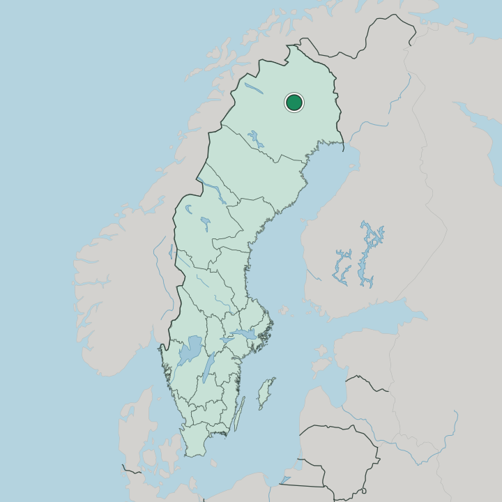
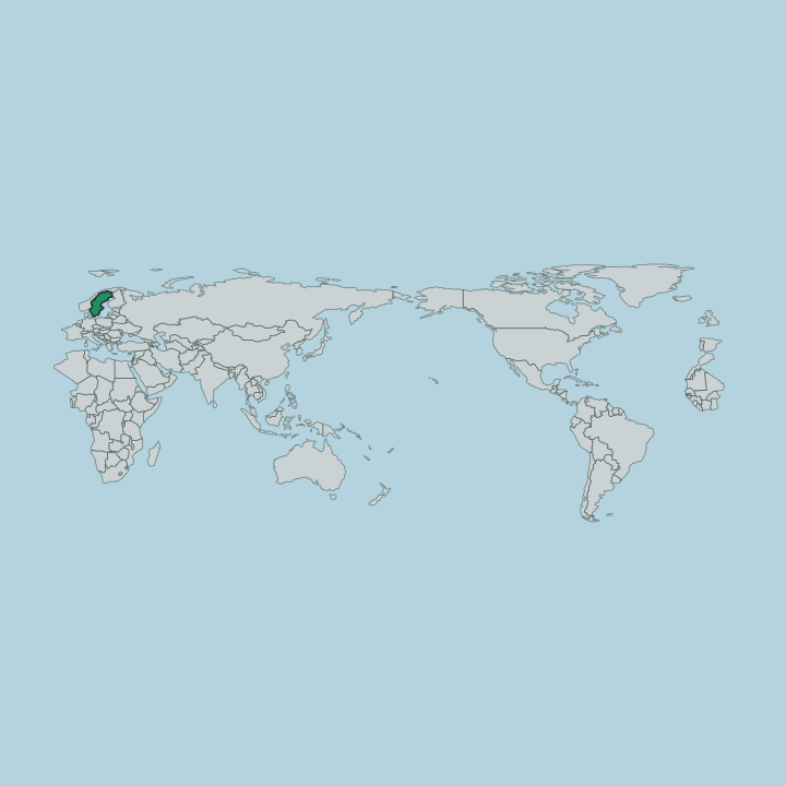
Gällivare lies in the north-western part of Norrbotten County, north of the Arctic Circle. Forest meets fell here. The town gathers along the Vassara River and the lake of Vassaraträsk, with the rounded mass of Dundret rising to the south, while westward the land climbs toward the mountains on the Norwegian border and eastward it falls through pine and bog toward the Gulf of Bothnia.
Long lakes and slow rivers cut the ground, glacier-carved and draining toward the sea.
What is the climate of Gällivare?
Gällivare has a subarctic climate shaped by its place north of the Arctic Circle. Winters are long, dark and firmly frozen, with snow that settles early and holds on the ground for many months, and the sun barely clears the horizon around midwinter. Summers run short.
They bring mild, bright days and the midnight sun, when daylight lingers around the clock and the fell stays lit through the small hours. Spring and autumn pass quickly between the two, and frost can edge into any month of the year.
How do you get to Gällivare?
Trains reach Gällivare on the Malmbanan, the iron-ore line that runs between Luleå on the Gulf of Bothnia and Narvik on the Norwegian coast, with night trains linking the town to Stockholm far to the south. In summer the Inlandsbanan adds a slow inland route from the south, ending its long run here. Roads come too.
The E10 threads through on its way between the coast and the mountains, and a small airport on the edge of town carries flights to the capital. From the station the centre is a short walk.
Good for
More cities in Norrbotten County
Updated July 2026