United States
Maine, United States — Towns & Travel Guide


Maine is the northeasternmost state of the United States, the largest and most rural corner of New England on a deeply cut Atlantic coast.
Find your area →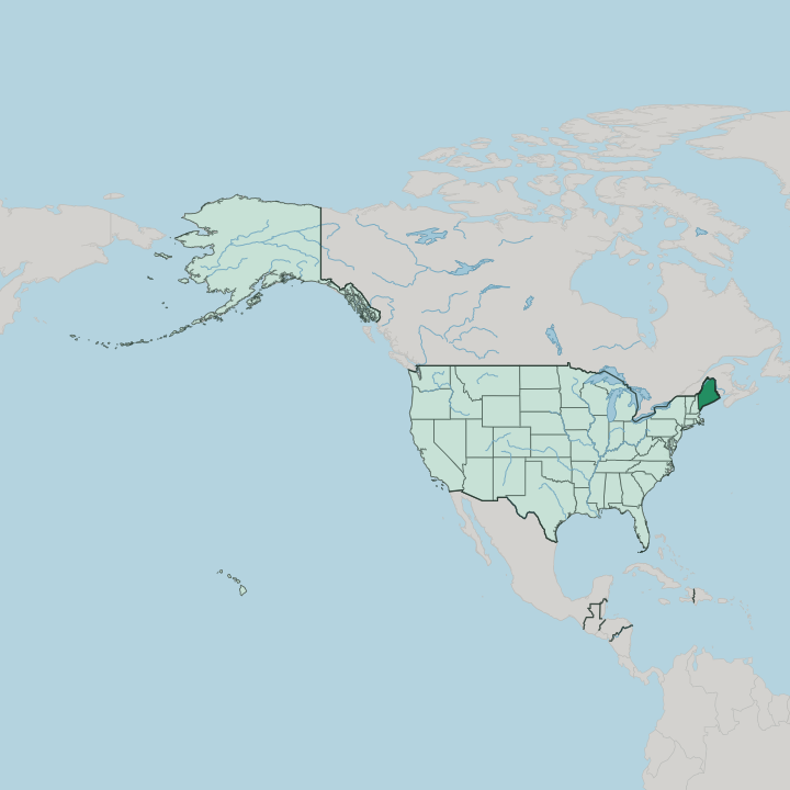
Towns & cities in Maine
Pick a town or city — each links to where to stay.
 United States
Portland
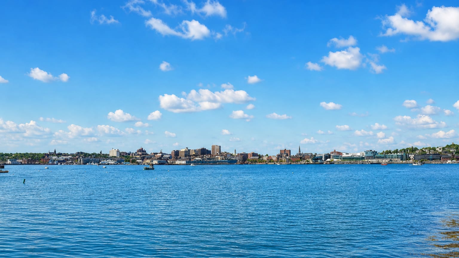
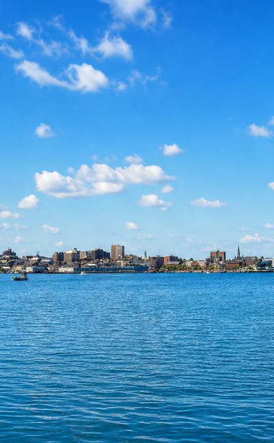
Portland is a harbour city on the coast of Maine, known for the Portland Museum of Art and the Portland Observatory.Where to stay →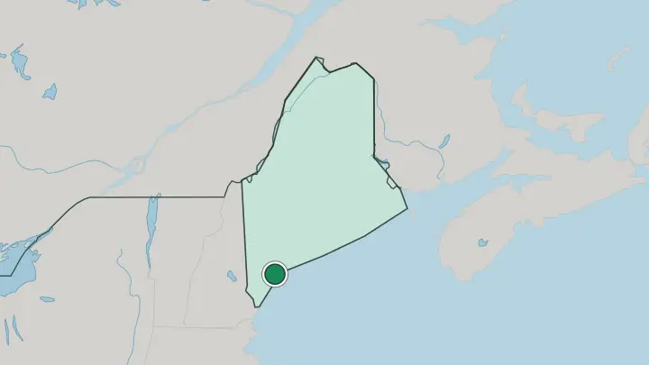
About Maine
Lobster comes first.
What is Maine known for?
The coast does the rest: rocky headlands, working harbours, and white lighthouses strung from Kittery to the Canadian line. Acadia National Park draws the crowds to Mount Desert Island, where Cadillac Mountain catches the earliest sunrise on the American Atlantic seaboard. Portland is New England's most talked-about food city, a small port with an outsized run of restaurants and breweries.
Inland, the wilderness takes over, and Mount Katahdin ends the Appalachian Trail above a roadless spread of forest, lake, and bog. Wild blueberries and cold-water lobster remain the flavours of the place.
Where is Maine?
Maine fills the far northeastern corner of the United States, the last state before Canada. It is the only state in the country that borders just one other. New Hampshire lies to the west, and everything else is either salt water or an international line. The Gulf of Maine washes the southern and eastern shore, the Canadian provinces of Quebec and New Brunswick wrap the north and northeast, and a sea boundary with Nova Scotia runs offshore.
It is the biggest of the six New England states, nearly as large as the other five put together. Most of that bulk is empty. The coast is where most of the state's life gathers, cut into a maze of bays, peninsulas, and islands that unwinds to a length far beyond the straight-line distance.
Portland and the old mill towns sit in the south. Behind them the North Woods take over, an unbroken sweep of forest, lake, and bog running to the Quebec border. Katahdin rises above that wilderness in Baxter State Park, the highest ground in Maine and the northern end of the Appalachian Trail.
The Penobscot and the Kennebec, the two longest rivers, drain that interior toward the sea, while Moosehead Lake spreads across the middle of the woods. Farther north still, Aroostook County opens into potato fields and rolling farmland, a flat green county larger than some whole states. Space is the constant.
What is Maine like?
Food sits close to the centre of it. Lobster is the signature, hauled from the cold Gulf of Maine and eaten simplest of all in a roll on a split bun. Wild blueberries grow low to the ground on the Down East barrens, and the potato fields of Aroostook County feed a good share of the country.
This is an outdoor culture above all. A mail-order outfitter built a national empire out of one Freeport store that never locks its doors, and the flannel-and-fleece look it made its name on is worn here in earnest. Shipbuilding runs just as deep, and the yards of Bath still turn out steel warships on the Kennebec River as they have for generations.
The land carries older stories too. The Wabanaki peoples, among them the Penobscot and the Passamaquoddy, have lived along these rivers and bays since long before the state existed, and their names mark much of the map. Mainers tend to guard a reputation for flinty independence and few words.
Portland balances that with galleries, a working art college, and a music scene, but the temper of the place is rural, practical, and turned toward the water. Down East is a direction and an attitude both.
What is the history of Maine?
Long before any European arrival, the Wabanaki nations held this coast and its rivers. English and French claims later collided across the same ground, and Maine spent generations as the far frontier of Massachusetts, governed from Boston as its District of Maine. Statehood came in 1820.
Maine entered the Union as its own state under the Missouri Compromise, admitted free to offset Missouri as a slave state and keep the national balance. Augusta, on the Kennebec River, became the seat of government in 1832.
What is the climate of Maine?
Maine has a cold, snowy version of the humid continental climate. Winters are long. Heavy Nor'easters blow in off the Atlantic and pile deep snow across the state, and the interior around Aroostook County runs colder and whiter than the shore.
Summers are short, green, and comfortable, warm by day and cool at night, which is why the coast fills up from June to September. The Gulf of Maine keeps the shoreline milder than the woods behind it. Autumn brings the hardwood colour.
How do you get to Maine?
Most visitors come overland from the south. The Maine Turnpike, part of Interstate 95, carries the bulk of traffic north from Boston across the New Hampshire line toward Portland. Portland International Jetport is the busiest airport, with Bangor a second point of entry for the North Woods, and the Downeaster train links Portland and Brunswick to Boston on rails.
Crossing the other way, road bridges into New Brunswick and Quebec tie the state to Canada. Beyond the cities, a car is all but essential.
Common questions
What is the best area to stay in Maine?
Portland: getting your bearings on a first trip to Maine.
Good for
Updated July 2026