Argentina
La Pampa Province, Argentina — Towns & Travel Guide


La Pampa is Argentina's quiet interior province, where the humid grass plain runs west into dry caldén woodland and open range.
About La Pampa Province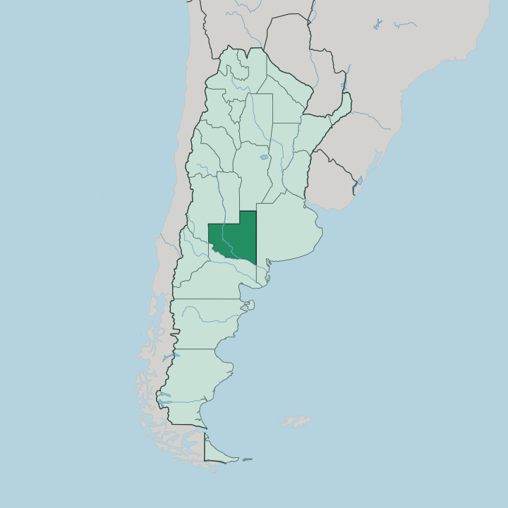
Towns & cities in La Pampa Province
Pick a town or city — each links to where to stay.
Santa Rosa is the obvious base. The capital sits where National Routes 5 and 35 cross, beside the Laguna Don Tomás, and it holds most of the province's hotels and the only scheduled airport. Choose it for a first trip.
General Pico, out on the northern grain plains, is the second town and a practical stop for the wheat and sunflower country around it. For Lihué Calel National Park most people camp inside the reserve or drive down for the day from Santa Rosa, since beds thin out fast once you leave the two main towns.
About La Pampa Province
La Pampa is cattle country.
What is La Pampa Province known for?
It carries the name of the wider Pampas, the fertile grass plain that spreads across central Argentina, and the province sits on its dry western rim where the caldén tree takes over from open grassland. Santa Rosa is the capital, a working town on the eastern grasslands rather than a resort. Further south the land buckles into the low pink sierras at Lihué Calel National Park, an island of rock and guanacos above the flat.
Gaucho folklore is strong here, kept alive in the stamping malambo dance and the improvised guitar verses of the payada.
Where is La Pampa Province?
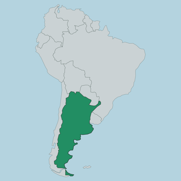
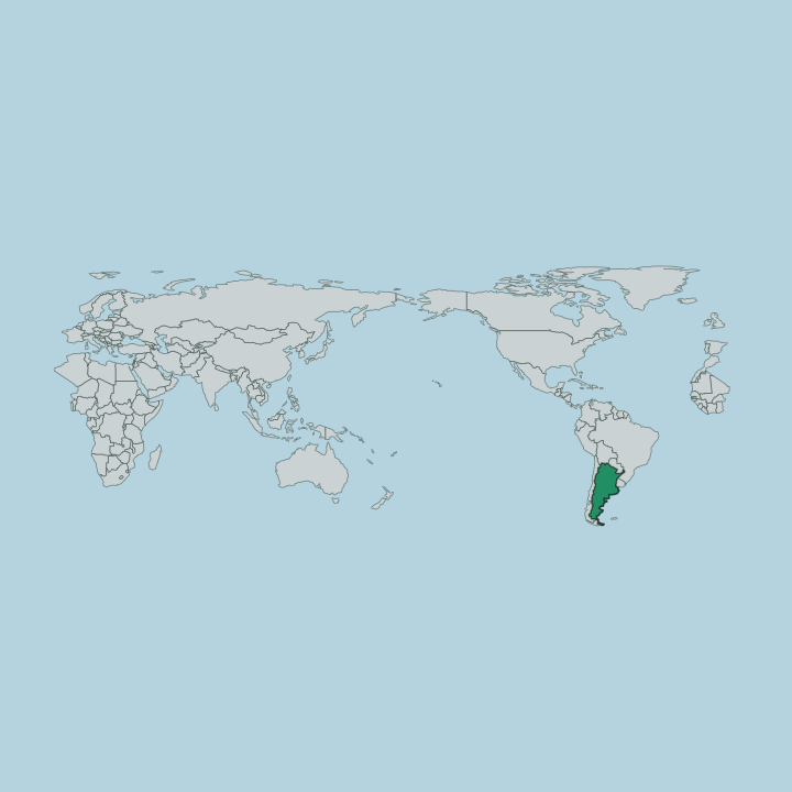
La Pampa lies in the centre of Argentina, on the western edge of the great grass plain that gives the province and the wider Pampas their shared name. Six neighbours enclose La Pampa on every side. San Luis, Córdoba and Buenos Aires curve around the north and east, while Río Negro, Neuquén and Mendoza close off the south and west.
The land is a plain tilted gently toward the east and cut by long transverse valleys that run northeast to southwest. Rain falls hardest in the east and fades steadily as you move west and south. That gradient splits the province in two.
Temperate grassland in the east gives way to semi-arid scrub in the west, where the caldén tree forms the open woodland known as the Caldenal. The Colorado River draws the southern boundary, separating La Pampa from Río Negro along most of its course. The Salado, which becomes the Curacó, wanders down from the northwest and dries to a thread before it can reach the Colorado.
Low sierras break the flatness only at Lihué Calel, in the south. Everywhere else the horizon stays wide and level.
What is La Pampa Province like?
Life in La Pampa turns on the estancia and the herd. This is gaucho country, and the horseman on the open range is the figure the province tells its stories through. Those stories survive as living folklore, not museum pieces.
At festivals the malambo is danced solo, a hard rhythmic stamping of boots and spurs, and the payada pits singers against each other in improvised verse over a guitar. The land itself shaped who lives here. Before the fences came, the Ranquel people ranged across the northern plains and the caldén woods, and their descendants, the Rankülche, still form part of the province's identity.
Santa Rosa gathers the province's cultural life, with its theatres, its provincial museum and the birdlife of the Laguna Don Tomás at its edge. Spanish is the everyday language across the whole province. Out on the grasslands the rhythm is slower and older, set by the seasons of the cattle and the grain rather than by any city clock.
What is the history of La Pampa Province?
The Ranquel people held these plains for centuries. They ranged on horseback across the northern grass and the caldén woods, a mounted power the settled coast could not easily reach. That world ended with the army campaigns of the late nineteenth century, which drove indigenous rule off the Pampas and threw the land open to settlers and cattle.
Buenos Aires governed the region first as the National Territory of La Pampa, mapped out in 1884 and run from the distant capital rather than by its own people. Provincehood came late. Only in 1951 did the national congress raise the territory to a full province, at the urging of Eva Perón, and for a few years afterward it even carried her name.
What is the climate of La Pampa Province?
La Pampa runs from temperate in the east to semi-arid in the west, and the rain thins as you cross it. Summers are hot. Winters are cool and dry, and the temperature swings hard between day and night because the province sits far inland from any moderating sea.
Santa Rosa and the eastern grasslands catch enough rain to keep the pasture green. Push west into the caldén country and the land turns dusty and drought-prone, its trees spaced wide for the little water there is.
How do you get to La Pampa Province?
Most travellers reach La Pampa overland from Buenos Aires. National Routes 5 and 35 run in from the northeast and meet at Santa Rosa, a drive of roughly seven hours across the plain, and long-distance buses cover the same road through the day and night. The airport at Santa Rosa sits a few kilometres out of town and takes scheduled flights from the Buenos Aires city airport.
It is the province's only commercial airfield. Within La Pampa there is no passenger rail to speak of, so a car does the rest, out to Lihué Calel National Park in the south or up to the grain plains around General Pico.
Updated July 2026