Canada
Yukon, Canada — Towns & Travel Guide


Yukon is Canada's westernmost territory, a land of high mountains and the great river that gave it its name, next to Alaska.
About Yukon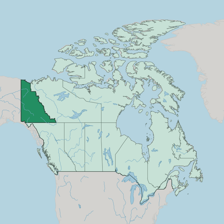
Towns & cities in Yukon
Pick a town or city — each links to where to stay.
Whitehorse is the natural base, the capital and only city and the place nearly every Yukon trip begins. Towns are few. Dawson City in the north keeps its gold-rush boardwalks and old saloons intact, a full day's drive up the Klondike Highway from the capital, while Haines Junction in the south-west sits at the doorstep of Kluane National Park and Reserve and the peaks of the Saint Elias Mountains.
Distances between them run long. Choose Whitehorse for services and flights; choose Dawson City for the Klondike story, or Haines Junction when the mountains are the point.
About Yukon
What is Yukon known for?
Gold made Yukon's name. The Klondike Gold Rush of the late 1890s pulled tens of thousands of prospectors north to Dawson City, set at the confluence of the Klondike River and the Yukon River, and the territory has traded on that legend ever since. Wilderness is the other draw.
The Saint Elias Mountains rise in the south-west and carry Mount Logan, the highest peak in Canada, above icefields larger than any outside the poles. Whitehorse sits on the river as the capital and the only city, and long winter nights bring the aurora borealis over the whole territory.
Where is Yukon?
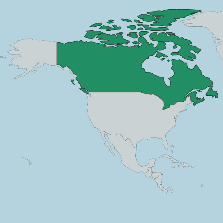
Yukon fills the north-western corner of Canada, the country's westernmost territory and the smallest of the three by land. Alaska lies to the west, across the border with the United States. British Columbia forms the southern edge, the Northwest Territories the eastern one, and the Beaufort Sea washes the short arctic coast in the north. Mountains dominate the map.
The Saint Elias Mountains crowd the south-west and carry Mount Logan, the highest point in Canada, along with most of its other tallest summits. Their icefields are the largest anywhere outside the polar regions. Between the ranges the land opens into high plateaus cut by rivers.
Most of the territory drains into the Yukon River, which gathers near the southern lakes, swings north past Whitehorse and Dawson City, then bends west into Alaska on its long run to the Bering Sea. The Klondike River joins it at Dawson City, and gold in that small tributary once changed the whole north. Whitehorse stands in the south, on the upper river, the capital and the only city.
Away from that one town the territory empties out fast. Vast stretches of forest, tundra and ice hold only a scattering of small communities along a handful of highways.
What is Yukon like?
Long before any prospector, First Nations lived across this land. Fourteen First Nations hold territory in Yukon, among them the Tlingit around Teslin, the Tagish and Southern Tutchone near the southern lakes, and the Gwich'in of the northern rivers. Their histories carry down through oral tradition, and their connection to the rivers and the seasons runs older than the border with Alaska.
English is the common language of the territory. The Klondike Gold Rush left the other layer of the culture. Dawson City still wears its boomtown face, with wooden boardwalks, restored saloons and a live gold-era theatre that plays through the summer.
Whitehorse holds the arts scene and the museums, a small capital that gathers the whole territory's life into a few walkable blocks. Outside is the real subject. Life here bends around the land and the light, the midnight sun of June and the aurora borealis that fills the dark winter sky.
Sled dogs, canoes and river craft matter more than they do almost anywhere south. Distance and cold shape how people live, and both are taken as ordinary facts of the north rather than as hardship.
What is the history of Yukon?
First Nations peoples have lived across this land for thousands of years, and it stayed their country until the fur trade reached its rivers in the nineteenth century. Then gold arrived. A strike in 1896 on a small tributary of the Klondike River near Dawson City drew a stampede of prospectors north, and the change was almost overnight.
The rush ran so hot that the Canadian Parliament carved a separate territory out of the Northwest Territories in 1898 to govern it. Dawson City ruled as the first capital. Whitehorse, better placed on the railway and the highway, took the seat from it in the 1950s.
What is the climate of Yukon?
Yukon runs on a subarctic climate of short warm summers and long, hard winters. The cold bites deep. Interior valleys around Whitehorse and Dawson City can swing from the mid-thirties in July down past forty below in the depth of winter, one of the widest ranges on the continent.
Precipitation stays light, so much of the snow is dry and the air is clear. Summer brings near-endless daylight under the midnight sun, while the long winter darkness is what makes the aurora borealis so easy to catch here.
How do you get to Yukon?
Air travel means Whitehorse. Its airport carries the only regular scheduled flights in the territory and sits minutes from the city, so nearly every visitor arrives there first. Overland the Alaska Highway is the spine, the wartime road that runs up through British Columbia, crosses the border and threads Whitehorse on its way to Alaska.
The Klondike Highway branches north from the capital to Dawson City and the old goldfields. Driving these routes is a long haul between fuel stops, and distances are counted in days rather than hours out here.
Good for
Updated July 2026