Chile
Región Aysén, Chile — Towns & Travel Guide


Región Aysén is the wild heart of Chilean Patagonia, fjords, icefields and the Carretera Austral, with Coyhaique as its base.
About Región Aysén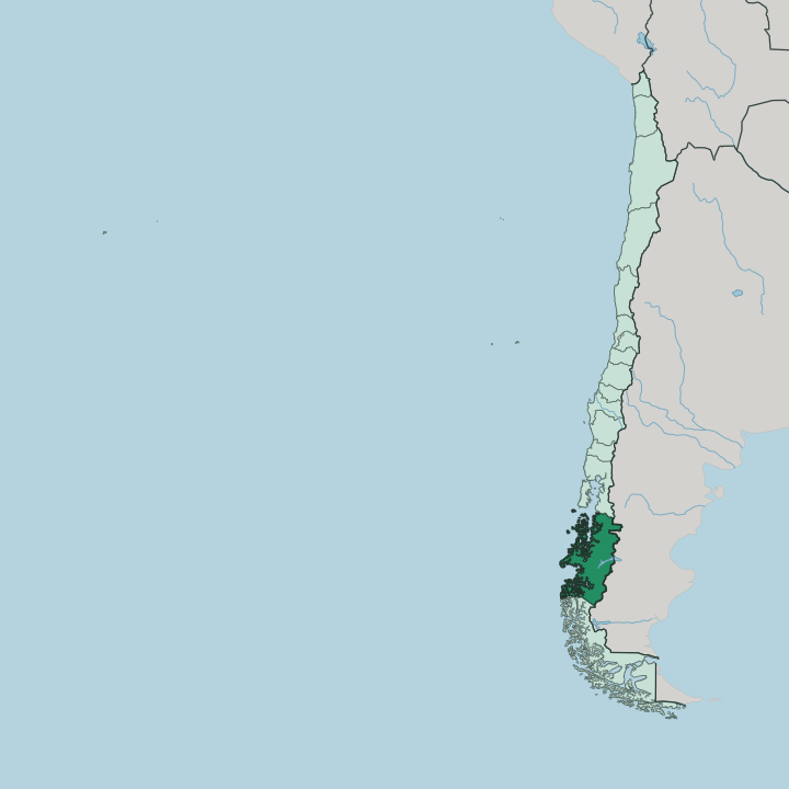
Towns & cities in Región Aysén
Pick a town or city — each links to where to stay.
Coyhaique is the natural first base. It is the region's only real town, set where the Simpson and Coyhaique rivers meet, and everything gets provisioned and planned from there before you commit to a landscape. Puerto Aysén and neighbouring Puerto Chacabuco open the fjords and the boat route out to the Laguna San Rafael glacier.
Down south, the lakeside villages ringing Lago General Carrera put the Marble Caves and the Baker River within reach. Pick the town to organise things; pick the lake or the fjord ports when the water itself is the reason you came south.
About Región Aysén
What is Región Aysén known for?
This is Chile's emptiest region, and its wildest. Ice defines it. The Northern Patagonian Ice Field spills glaciers down into turquoise lakes, and the Carretera Austral threads south past fjords, hanging valleys and cattle country.
Most people come for one road and a handful of set-piece landscapes: the Marble Caves on Lago General Carrera, the hanging glacier at Queulat, the wide grey Baker River. Coyhaique anchors it all.
Where is Región Aysén?
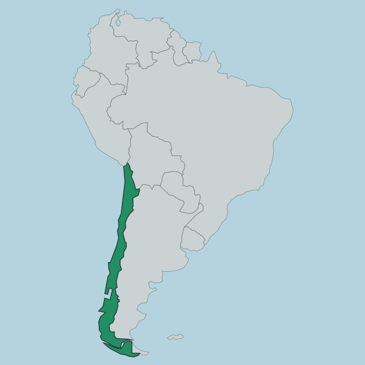
Región Aysén occupies the middle third of Chilean Patagonia, wedged between the Pacific Ocean to the west and the crest of the Andes and the Argentine border to the east. It is the third-largest of Chile's regions by area and the least peopled by far. The land tells the story of the ice that shaped it.
Glaciers carved the western edge into a maze of fjords, channels and steep forested islands, so tangled that its true coastline runs to tens of thousands of kilometres though the region spans barely a thousand in a straight line. The Northern Patagonian Ice Field sits at the centre of it, one of the largest bodies of ice outside the poles, feeding glaciers and rivers on every side. East of the mountains the country changes.
The rain runs out. Forest gives way to open steppe and rolling grassland, where the settler ranches took hold and where Coyhaique grew up on a river terrace. Lago General Carrera, shared with Argentina, is the largest lake in Chile, and the Baker River drains it westward as the country's mightiest river by volume, grey with glacial silt on its run to the sea.
Water is the organising fact of the whole region. Nearly everything here is arranged around a fjord, a lake or a river.
What is Región Aysén like?
Aysén thinks of itself as a frontier, because within living memory it was one. This was the last major stretch of Chile to be brought properly into the country, settled only when families pushed inland over the mountains from Argentina and down the coast to clear land for sheep and cattle. That pioneer past still colours the culture.
The gaucho on horseback, the wool shed and the cattle drive are local touchstones, not tourist costume, and an asado of Patagonian lamb over an open fire remains the regional feast. Life bends to distance and weather. Towns are small and far apart, so people improvise, help each other and move at the pace the road allows.
The regional saying, "el que se apura pierde el tiempo", he who hurries wastes his time, is worn almost with pride. Coyhaique holds what passes for the region's cultural centre, with its museums, its Sunday markets and a growing craft-beer scene fed by clean glacial water. Beyond the town the culture turns outdoor and elemental, built around rivers to raft, horses to ride and boats to the glaciers under long southern light.
The rest is landscape.
What is the history of Región Aysén?
Aysén was the last frontier of Chilean settlement. Permanent towns arrived late. Through the late nineteenth and early twentieth centuries, the government leased vast tracts to sheep companies and drew in Chilean, Croatian, German and Swiss families who burned back the native forest to open grazing land.
Coyhaique was founded in 1929 to serve them. The region takes its full name, Aysén del General Carlos Ibáñez del Campo, from a former president of Chile. For decades it stayed cut off from the rest of the country by ice and mountain, reachable only by sea or through Argentina, until a single road finally stitched it to the north.
What is the climate of Región Aysén?
The Andes split the region's weather in two. The west is cool, wet and wind-scoured, where fjord slopes facing the Pacific Ocean can take several metres of rain a year and feed the icefields. Cross the mountains and the rain shadow takes over.
The eastern steppe around Chile Chico is dry and clear, sometimes drier than a fifth of the drenched coast. Coyhaique sits in between, cool and green, wet through much of the year with snow on the surrounding tops in winter. Wind is the constant everywhere.
How do you get to Región Aysén?
For almost every visitor to Aysén, the trip begins with a flight. Most arrive by air. The regional airport sits at Balmaceda, out on the dry eastern steppe, an hour's drive from Coyhaique, with flights north to Puerto Montt and Santiago.
Overland is the slow romance: the Carretera Austral runs the length of the region, unpaved for long stretches and broken by ferry crossings where the fjords cut the road. Ships also carry passengers and cargo up the Pacific channels into Puerto Chacabuco. Once you are here, that one highway and the boats do almost all the moving.
Good for
Updated July 2026