Colombia
Departamento del Huila, Colombia — Towns & Travel Guide


Huila fills the upper Magdalena valley in southwest Colombia, between two Andean ranges, with Neiva as its riverside capital.
About Departamento del Huila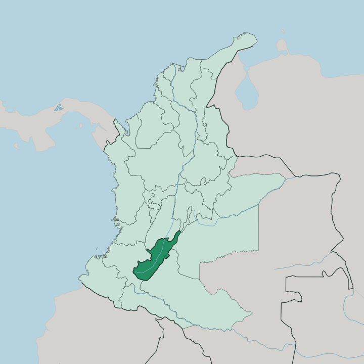
Towns & cities in Departamento del Huila
Pick a town or city — each links to where to stay.
Neiva is the practical base, the capital strung along the Magdalena River and the arrival point for almost every trip into the department. Two other hubs anchor the rest. Garzón sits in the coffee-growing centre, the old diocesan seat where the road south splits toward the mountains, and Pitalito holds the far south in the Laboyos valley, closest to the stone figures of San Agustín.
For the desert, travellers overnight at Villavieja on the edge of the Tatacoa. Choose Neiva for the river and the flight in; choose Pitalito or Villavieja when the archaeology and the badlands are why you came.
About Departamento del Huila
Huila is coffee country and archaeology country at once.
What is Departamento del Huila known for?
Its beans, grown in the high slopes around Pitalito, carry a protected denomination of origin that ties the flavour to this ground. Near the town of San Agustín, hundreds of carved stone figures stand where a pre-Columbian people left them, a UNESCO site since 1995 and the largest field of megalithic statues in South America. Snow tops the volcano.
Nevado del Huila rises over the western skyline, the highest peak of Colombia's central cordillera, and the Tatacoa Desert bakes red and grey in the department's dry north.
Where is Departamento del Huila?
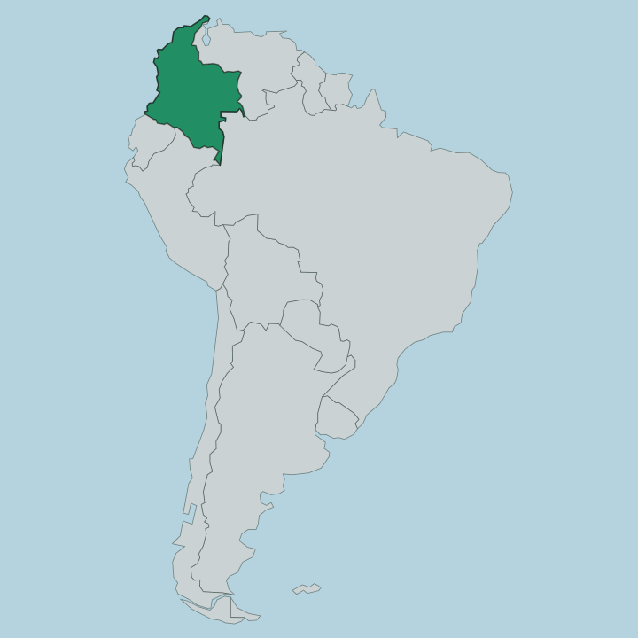
Huila lies in southwest Colombia, wrapped around the upper course of the Magdalena River. The department is shaped like a wedge. The Magdalena runs up its middle from south to north, and two arms of the Andes rise on either side, the central cordillera to the west and the eastern cordillera to the east.
Neiva stands on the river in the hot lowlands of the north, where the valley is broadest and driest. The land climbs hard toward the south. There the two ranges close together into the Colombian Massif, the knot of high country where both the Magdalena and the Cauca, Colombia's two great rivers, begin their long runs to the Caribbean.
Nevado del Huila crowns the western wall, a snow-capped volcano that is the tallest peak of the central cordillera and marks the corner shared by Huila, Tolima, and Cauca. Between the river and the ridges sit the towns. Garzón and Pitalito hold the higher southern reaches, coffee country on the slopes, while the north around the capital falls away into the dry scrub of the Tatacoa.
Two ranges, one river. That is Huila in short.
What is Departamento del Huila like?
Two things define how Huila sees itself: coffee and the deep past. The southern slopes around Pitalito and Garzón grow some of Colombia's most prized beans, and the trade shapes the working year, the towns, and the tables. Spanish is the language of daily life, as it is across Colombia.
The department leans agricultural and unhurried. The older layer runs beneath all of it. Long before the Spanish came, the people of San Agustín carved gods and warriors and burial guardians into volcanic stone, and those hundreds of statues still keep watch over the southern hills.
Each June the capital fills for the Festival de San Juan y San Pedro, a stretch of bambuco dancing, sanjuanero music, and river-town revelry that is the department's loudest week. Music matters here. The sanjuanero rhythm is Huila's own, and the folk dance built around it is taught, competed, and performed as a point of regional pride.
Between the festival, the coffee farms, and the silent statues, the culture reaches back a long way.
What is the history of Departamento del Huila?
The border is young. Huila became a department of its own in 1905, carved out of the older Tolima under the reforms of President Rafael Reyes, and it took its name from the snow-capped Nevado del Huila that dominates the western sky. The story on this ground is far older than that.
The stone-carvers of San Agustín worked the southern hills from around the first century, leaving the largest set of megalithic sculptures in South America. Neiva itself was settled long before the department existed. The Spanish founded the city on the Magdalena in 1612, after two earlier attempts nearby were destroyed, and it has anchored the valley ever since.
What is the climate of Departamento del Huila?
Altitude rules here, not the season. Down in the Magdalena valley around Neiva the air stays hot and dry year-round, and the Tatacoa in the north bakes hard enough to hold a small desert of scrub and cactus. Climb the southern slopes toward Pitalito and Garzón and it turns cool, green, and wetter, the mild mountain climate that lets the coffee grow.
Higher still, on the flanks of Nevado del Huila, the peak keeps its snow. Rain comes in two wet spells rather than one long summer.
How do you get to Departamento del Huila?
Most travellers reach Huila by air into Neiva. Benito Salas Airport sits in the capital and links the department to Bogotá with a short hop over the eastern cordillera, the fastest way in from the rest of Colombia. The roads are the alternative.
A main highway follows the Magdalena valley north to Bogotá and south toward Pitalito and the mountains, and buses run it all day. From Neiva or Pitalito, the last stretch to San Agustín or out to the Tatacoa Desert is done by road.
Good for
Updated July 2026