Iran
Gilan Province, Iran — Towns & Travel Guide


Gilan is Iran's green Caspian province, where the forested Alborz mountains fall through rice paddies to the Caspian Sea and Rasht.
About Gilan Province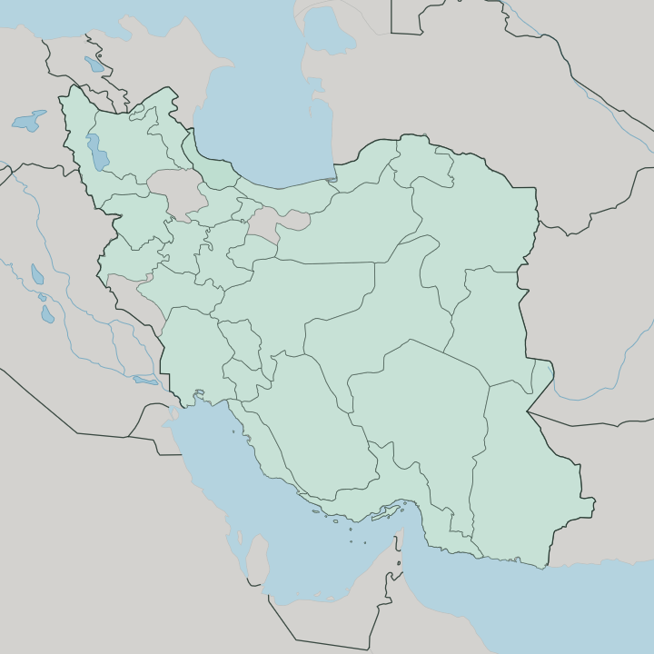
Towns & cities in Gilan Province
Pick a town or city — each links to where to stay.
Most trips base in Rasht, the provincial capital and the hub for the province's food. The coast pulls the rest. Bandar-e Anzali sits where the Anzali Lagoon opens to the Caspian Sea, a working port with beaches on its spit, while Lahijan climbs into the tea terraces a short way inland.
For something stranger, Masuleh stacks its ochre houses up a forest slope so that each rooftop serves as the street above. Choose Rasht for the food and the rain; choose the shore or the hills when you want the quiet side of Gilan.
About Gilan Province
What is Gilan Province known for?
Gilan is Iran's rice bowl and its tea garden. The lowland paddies around Rasht feed much of the country, while the hillsides above Lahijan grow the leaf that fills Iranian teapots. Rasht itself earned a UNESCO Creative City of Gastronomy title for a local kitchen of sour, garlic-heavy stews thickened with walnut and unlike anything in the Persian interior.
Damp forest climbs the Alborz behind the coast, hiding brick fortresses like Rudkhan Castle. The rain is relentless. Few Iranians think of Gilan without picturing green.
Where is Gilan Province?
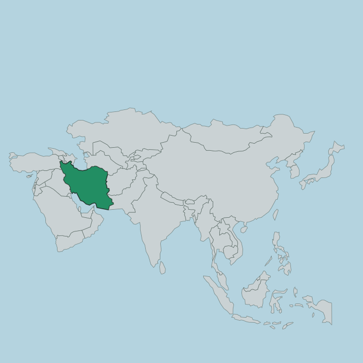
Gilan lies in the north-west of Iran, wrapped around the south-western corner of the Caspian Sea. It ranks among Iran's smallest provinces. The province is a narrow strip pinned between water and mountains: the Caspian Sea to the north, the Alborz range walling it off to the south, Ardabil Province over the passes to the west, and Mazandaran Province along the coast to the east.
Rasht spreads across the coastal plain, back from the shore. From the beaches the land climbs fast, and within a short distance the paddy fields give way to forested ridges and cold mountain passes. One river ties the halves of Gilan together.
The Sefid-Rud cuts down through the Alborz from the dry Iranian plateau, breaks out of the mountains at Rudbar, and fans across the plain to reach the Caspian Sea. It splits the province in two, and even the Gilaki dialects change from one bank to the other. Along the shore the water turns marshy at the Anzali Lagoon, a reed-choked wetland of channels and lilies behind Bandar-e Anzali.
Behind it all stand the Hyrcanian Forests, a band of ancient broadleaf woodland that runs the length of the Caspian coast. Green is the constant.
What is Gilan Province like?
Gilan feels unlike the rest of Iran, and it knows it. The people here are Gilaks. They speak Gilaki, a Caspian language of the northern branch that splits into eastern and western dialects across the Sefid-Rud, and most switch to Persian only for school and official business.
The damp has shaped a way of life built around rice, the paddy, and the tea garden. Wooden houses stand on stilts against the wet ground, their steep roofs shedding the near-constant rain. Food is the province's calling card.
Rasht cooks a sour, garlic-driven cuisine heavy with herbs that owes more to the Caspian than to Tehran, from smoky mirza ghasemi of aubergine and egg to walnut-and-pomegranate fesenjan and baghali ghatogh of beans and dill. Locals take their cooking seriously, passing recipes house to house. In Lahijan the day turns on tea, poured dark in glasses at lakeside houses below the plantations.
Silk once ran through here too, spun in the towns along the old Caspian trade roads, and the covered markets still trade the same rice, garlic, olives, and smoked fish. The rain sets the rhythm.
What is the history of Gilan Province?
Gilan came late to Persian rule. Screened by the Alborz and its forests, the province kept its own local dynasties for centuries, and the Safavid shahs only brought it firmly under Iran near the close of the 16th century. Its damp lowlands grew silk for Genoese and Russian traders on the Caspian.
The boldest chapter came after the constitutional era, when Mirza Kuchik Khan led the Jangal movement of forest guerrillas against Tehran. It went further still. Backed by Soviet Russia, the rebels proclaimed a short-lived Persian Socialist Soviet Republic at Rasht before the movement collapsed in 1921.
What is the climate of Gilan Province?
Gilan is the wettest corner of Iran. While most of the country bakes dry, the Caspian Sea traps moist air against the wall of the Alborz, and rain falls on the province in every season. Rasht counts among the rainiest cities in the country, the reason for its nickname, the City of Silver Rains.
Winters are mild and grey on the coast, summers warm and sticky with humidity off the sea. Snow settles on the high Alborz passes while the paddies below stay green. The damp explains everything else.
How do you get to Gilan Province?
Most travellers reach Gilan overland from Tehran. The main road climbs north out of the capital and over the Alborz, then drops through the Sefid-Rud gorge past Rudbar to the Caspian plain and Rasht. A railway follows the same pass from Qazvin to Rasht, aimed onward at the Caspian border town of Astara.
Rasht keeps a small airport, Sardar-e Jangal, with flights to Tehran and Mashhad. Ferries cross the Caspian Sea from Bandar-e Anzali to ports in Russia and Azerbaijan. The mountains are the gate.
Good for
Updated July 2026