Iran
Kermanshah Province, Iran — Towns & Travel Guide


Kermanshah Province is western Iran's Kurdish heartland in the Zagros, holding the Behistun inscription and the Sasanian reliefs of Taq-e Bostan.
Find your area →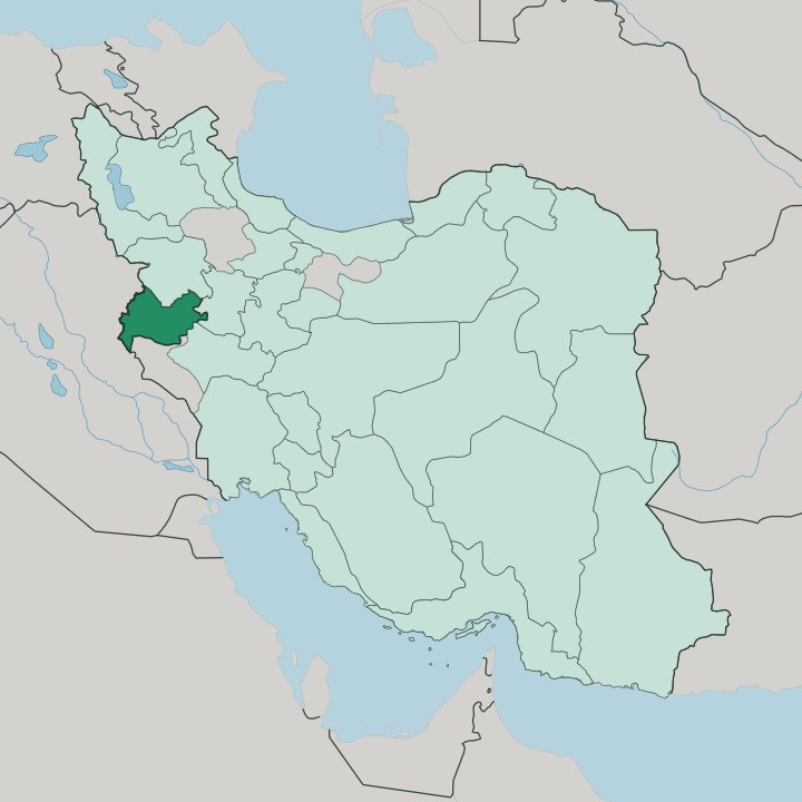
Towns & cities in Kermanshah Province
Pick a town or city — each links to where to stay.
 Iran
Iran
Kermanshah
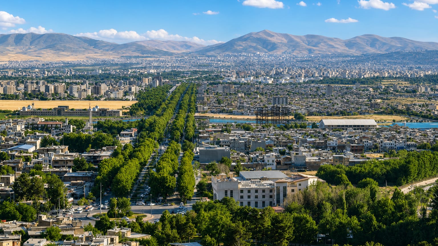
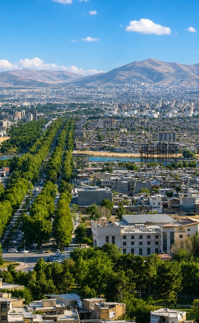
The ancient mound of Chogha Gavaneh rises within Kermanshah, the capital of Kermanshah Province in western Iran, known for its museums and deep past.Where to stay →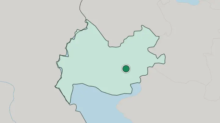
About Kermanshah Province
What is Kermanshah Province known for?
Kermanshah Province is best known for its ancient rock monuments. Above the old Baghdad road, Darius the Great cut the Behistun inscription into the cliff around 520 BC, a vast trilingual text that later let scholars decipher cuneiform and earned a place on the UNESCO World Heritage list. Carvings define it.
On the edge of Kermanshah city, the Sasanian reliefs of Taq-e Bostan show royal investitures and a boar hunt in stone. West at Kangavar, the columned ruins of the Anahita temple rise beside the highway. This is the largest Kurdish-majority region in Iran.
Where is Kermanshah Province?
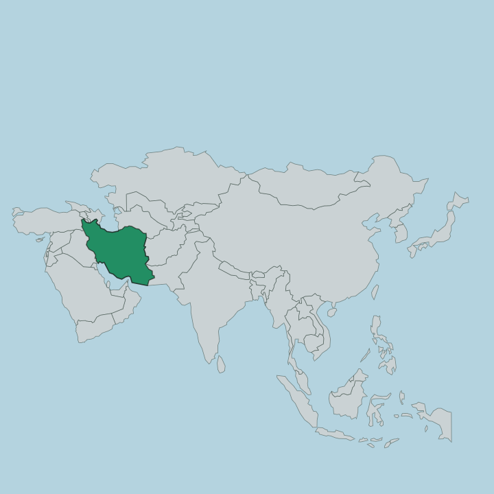
Kermanshah Province lies in western Iran, draped across the central Zagros where the mountains begin their descent toward Mesopotamia. Iraq forms its entire western edge, roughly 250 kilometres of frontier ridge and pass. Kurdistan Province sits to the north, Hamadan to the east, and Lorestan and Ilam close off the south. The Zagros ridges run from the southeast to the northwest, standing highest in the east and dropping westward until the plains of Iraq fill the view. Peaks rise above three thousand metres.
Mount Bisotun, part of the Parau chain, looms over the provincial capital. Water gathers here before flowing south. The Gamasiab, the province's longest river, rises from the Alvand heights and gathers the smaller Qarasu once it clears Kermanshah city.
Downstream it becomes the Seymareh and finally feeds the Karkheh, one of the great rivers descending toward the Khuzestan lowlands near the Iraqi border. That drainage makes the province the headwaters of a river system reaching far beyond its own borders. Much of the land is high plateau and valley farmland between the ridges.
It is upland country. Snowmelt and winter rain, not summer flood, keep its rivers alive.
What is Kermanshah Province like?
Kermanshah Province is the largest Kurdish-majority region in Iran, and Kurdish identity runs through everything here. Most people speak Southern Kurdish, the Kelhuri dialect locals call Kermanshahi, alongside Persian used in schools and offices. The capital carries its own Kurdish name, Kirmaşan, and Kurds across the border in Iraq know it as a cultural anchor of eastern Kurdistan.
Faith is mixed. Shia Islam is the majority, but there are Sunni Kurds in the western hills and a strong Yarsani community, followers of the Ahl-e Haqq who keep their own sacred music and rites. The province cooks distinctively.
Kermanshahi ghee, the clarified oil pressed from local herds, flavours dishes far outside the province, and the slivered-almond stew khoresh-e khalal is a wedding-table standard. Dande kabab, grilled marinated ribs, is the plate visitors remember. Rice cookies scented with cardamom, the nan-e berenji, fill the bakeries of the old bazaar.
Up in the Hawraman mountains around Paveh, terraced stone villages like Hajij stack house upon rooftop above the deep river valleys. Craft, song and cooking hold together here. It is a proud culture.
Taq-e Bostan, floodlit above the city, doubles as a public park where families gather on warm evenings.
What is the history of Kermanshah Province?
This corner of the Zagros was heartland to ancient Media before the Persian empires rose. Under the Achaemenids, Darius the Great chose the cliff at Bisotun for his victory inscription, carved high above the caravan road around 520 BC. The Sasanians left the deepest mark.
They cut the reliefs of Taq-e Bostan and treated the district as a royal retreat, and their kings hunted and summered in its well-watered valleys. Astride the road from Baghdad to the Iranian plateau, the province was fought over by Ottomans and Persians for centuries. Armies passed through again and again.
What is the climate of Kermanshah Province?
The Zagros sets the weather. Kermanshah's highlands have a cold continental climate, with hard, snowy winters that close mountain passes around Paveh and Sonqor and feed the Gamasiab in spring. Summers up here stay warm and dry rather than scorching.
The lower western strip toward the Iraqi plains runs noticeably hotter, and border towns like Qasr-e Shirin bake through long summers. Most rain falls between autumn and early spring. Snow, not monsoon, is what fills the rivers.
How do you get to Kermanshah Province?
Most travellers reach Kermanshah by air or the Tehran highway. Shahid Ashrafi Esfahani Airport sits just southwest of the capital and takes domestic flights, with Tehran the busiest link. By road it is a long drive west from Tehran through Hamadan, the same corridor caravans once followed toward Baghdad.
The province also holds a working land frontier with Iraq. Pilgrims cross at Khosravi below Qasr-e Shirin, heading for the shrine cities, and long-distance buses from Tehran pull into the Kaviani terminal on the city's eastern edge. Kermanshah is the only real hub.
Common questions
What is the best area to stay in Kermanshah Province?
Kermanshah: a first base near the Taq-e Bostan reliefs.
Good for
Updated July 2026