Iran
Kerman Province, Iran — Towns & Travel Guide


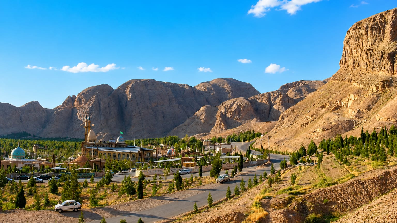
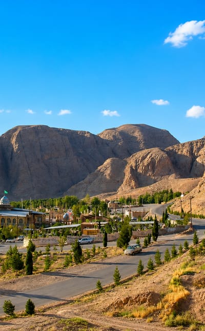
Iran's largest province fills the arid southeast, holding the Lut Desert and the adobe citadels of Bam and Rayen.
Find your area →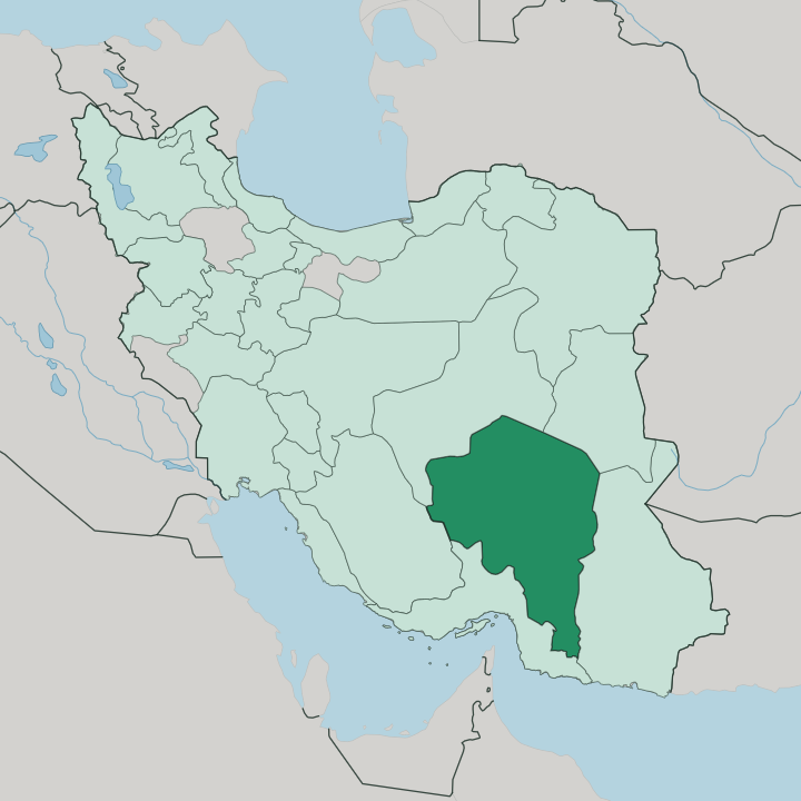
Towns & cities in Kerman Province
Pick a town or city — each links to where to stay.
 Iran
Iran
Kerman
Old bazaars and gardens fill the heart of Kerman, the capital of Kerman Province in southeastern Iran, known for its mosques and mansions.Where to stay →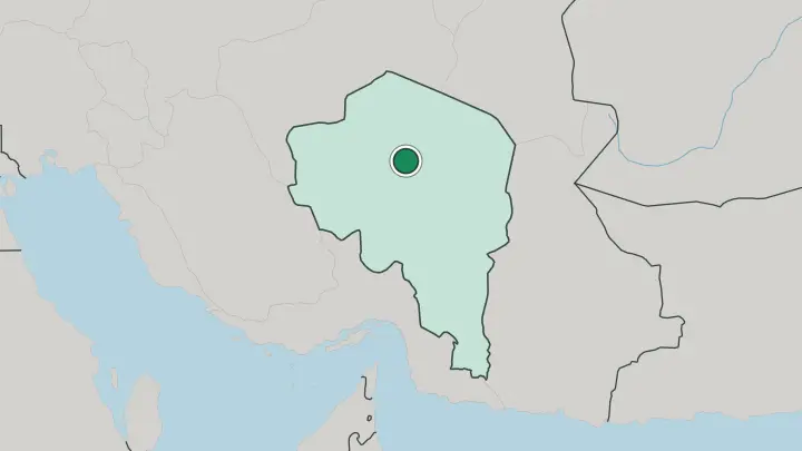
About Kerman Province
What is Kerman Province known for?
Kerman Province is known first for the Lut Desert, whose wind-carved kaluts near Shahdad hold the highest ground-surface temperature ever measured on Earth. Adobe fortresses define the rest. The earthen citadel of Bam, rebuilt after the 2003 earthquake, and the smaller Rayen castle both rise from the desert plain, while Rafsanjan supplies much of Iran's pistachio crop.
Kerman city anchors it all, famous for hand-knotted carpets and cumin.
Where is Kerman Province?
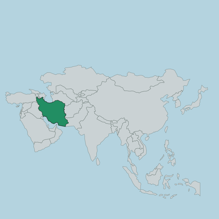
Kerman Province spreads across the southeast of Iran, the largest of the country's provinces and roughly a ninth of its land. Sistan and Baluchestan lies to the east. Hormozgan closes off the south toward the Gulf of Oman, while Fars borders the west and Yazd the north, so the province sits inland, far from any coast. Its heartland is the high central plateau, a floor of steppe and sand broken by long mountain ridges that run down from central Iran. Kerman city, the capital, stands on that plateau near the desert's edge.
The Lut Desert fills the northeast, a basin of wind-sculpted kalut ridges and salt flats that ranks among the most extreme deserts anywhere. Mountains rim the rest. The Kuh-e Hezar massif rises above the southern ranges, climbing past 4,000 metres and holding snow long after the plains have baked dry.
Water is the exception. Where springs and the Halil river reach the surface, near Jiroft in the warmer south, date palms and citrus groves take hold, and the pistachio orchards of Rafsanjan draw on ancient underground channels. Southward the land drops toward the Jaz Murian depression, hotter and more humid as it nears the Sea of Oman.
What is Kerman Province like?
Persian is the everyday language across Kerman, spoken in the plateau bazaars and the mountain villages alike, in the local Kermani dialect. Most people are Shia Muslims. A small Zoroastrian community has held on here since before Islam, keeping a fire temple in Kerman city that also holds a museum of the faith.
Cumin scents the kitchens. The hand-knotted Kerman carpet, worked in dense floral patterns, made the province a name in the rug trade long before oil, and its weavers still supply looms across Iran. Village life keeps older rhythms.
At Maymand, near Shahr-e Babak, families still winter in rooms cut straight into the rock, a troglodyte settlement thousands of years old. Dates and pistachios anchor the table in the south. Pilgrims and poetry lovers cross the province to Mahan, where the poet Shah Nematollah Vali lies under a turquoise dome.
Kerman city's bazaar, laid out around the Ganjali Khan square and its bathhouse, still works as the social heart of the plateau. The pace is agrarian and unhurried, set by irrigation turns and harvest more than by any city clock.
What is the history of Kerman Province?
This is ancient ground. In the third millennium BC the Jiroft culture worked the Halil river valley, leaving carved vessels that some archaeologists rank beside early Mesopotamia. The Sasanian king Ardashir I founded the provincial capital in the third century, and the Kerman Seljuk Sultanate later ruled it as a near-independent state.
Marco Polo described its bazaars as a link between the Persian Gulf and Khorasan. Qajar workshops turned Kerman into a carpet exporter, while the mud-brick citadel of Bam, with roots in the Achaemenid era, stood until an earthquake shook it down in 2003.
What is the climate of Kerman Province?
Kerman is dry almost everywhere, and the sky stays clear for most of the year. The plateau swings hard between seasons. Kerman city, high on the plateau near the desert, bakes through summer and turns cold enough for snow and sandstorms in winter.
The southern districts around Jiroft and Bam stay much warmer, closer to the subtropics as the land falls toward the Gulf of Oman. Rain is rare, and farmers lean on qanats for mountain water.
How do you get to Kerman Province?
Most travellers reach Kerman by air, landing at the city's airport on flights from Tehran and other Iranian hubs. An overnight train also runs from Tehran. By road, the province connects west to Shiraz and Yazd and south to the port of Bandar Abbas near the Strait of Hormuz, a long haul across desert either way.
Kerman city is the usual staging point. From there, tour vehicles head out to the kaluts near Shahdad and the citadels at Bam and Rayen.
Good for
Updated July 2026