North Korea
Chagang-do, North Korea — Towns & Travel Guide


Chagang-do is North Korea's most mountainous province, a rugged interior on the Yalu River border with China.
About Chagang-do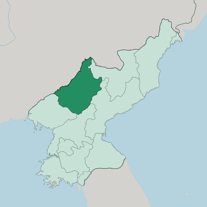
Towns & cities in Chagang-do
Pick a town or city — each links to where to stay.
Kanggye anchors the province. It is the seat of government, set in a mountain basin on the Changja River, and it serves as the base most trips through Chagang-do work from. Manpo sits north on the Yalu, directly across the water from China, and it opened to visitors in 2019 after decades sealed off.
Huichon lies south toward the rail line up from Pyongyang. Beds outside these three are thin. Choose Kanggye if you want the administrative centre; pick Manpo if the river border and the crossing to China are the draw.
About Chagang-do
Upland is the making of Chagang-do.
What is Chagang-do known for?
Some 98 percent of Chagang-do is upland, with the Rangrim range walling off the province's eastern flank and mean ground sitting well above the valley floors. The capital, Kanggye, occupies a basin along the Changja River. It saw hard fighting there in both the anti-Japanese guerrilla years and the Korean War.
The province built its name after 1945 on hydroelectric dams and heavy machine works rather than on farmland its steep slopes could never spare. Much of it stayed closed to outsiders for decades.
Where is Chagang-do?
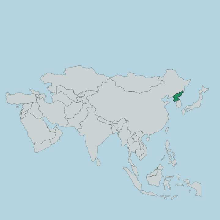
Chagang-do fills the rugged interior of northern North Korea, pressed against the Chinese border along the Yalu River. It is upland almost everywhere. Roughly 98 percent of the province is mountainous, and the ground averages hundreds of metres above sea level, with slopes across most of it pitching steeply between valley floor and ridge.
The Rangrim Mountains run north to south down the eastern side, the range that splits the country's eastern and western drainage and feeds rivers like the Chongchon that rise on its slopes. Kanggye, the capital, sits in a basin cut by the Changja River, a 239-kilometre tributary that runs northwest off the Rangrim heights into the Yalu at the provincial edge. The borders read like a wall of neighbours.
China's Jilin and Liaoning provinces lie across the Yalu to the north, Ryanggang and South Hamgyong to the east, South Pyongan to the south, and North Pyongan to the west. Manpo stands on the river bank facing China, one of the few points where the province meets the outside directly. Everywhere else the mountains close in.
What is Chagang-do like?
Chagang-do wears its self-reliance as identity. After 1945 the state poured machine works, metallurgy and munitions into these valleys, reasoning that terrain too steep for farming was terrain an enemy could not easily reach either. That choice still shapes the province.
The official "Kanggye spirit" grew out of the hard years of the 1990s, when the capital's people were held up as a model of getting by on little, and the phrase entered the country's political vocabulary from here. Korean is the language, spoken with the northern inflection of the borderland. The mountains gave the province its other trade.
Small and medium hydroelectric stations line the Changja and the streams off the Rangrim slopes, turning the steep drops that block farming into power instead. Kanggye guards the memory of the guerrilla war against Japanese occupation, and monuments to it stand across the city. Little of this was ever meant for visitors.
The province spent decades among the most closed corners of a closed country, and that reserve still colours the place.
What is the history of Chagang-do?
Chagang-do was drawn up in 1949, carved out of the northern reach of North Pyongan as a province in its own right. Its towns were older than that. Kanggye had guarded the Yalu frontier since Joseon times as a walled military outpost against incursion from across the river, and the same border ground saw hard fighting in the guerrilla war against Japanese occupation and again during the Korean War.
From the ruins of that war the state rebuilt Chagang-do as a fortress of heavy industry, threading factories and dams through valleys its planners judged safely remote.
What is the climate of Chagang-do?
Winters here are long and bitter. Chagang-do carries a sharp continental climate, cut off from any moderating sea and pressed high into the mountains, so the swing between a January night and a July afternoon is wide and the cold season drags on. Spring and autumn pass quickly between the extremes.
Summer brings the year's rain in downpours, with hail and frequent thunderstorms breaking over the Rangrim slopes. The high ground keeps Kanggye and the interior colder than the lowlands of North Korea beyond the ranges.
How do you get to Chagang-do?
Access is the hard part. Chagang-do sat closed to foreign visitors longer than any other province of North Korea, shut for its military works, until Manpo on the Chinese border opened in 2019. The way in runs from Pyongyang, with road and rail climbing north through Huichon and on to Kanggye through tunnels bored under the Rangrim ridges.
Manpo faces China across the Yalu and can be reached from the far bank. Once inside, the mountains make every valley-to-valley leg slow going.
Good for
Updated July 2026