North Korea
South Hamgyong, North Korea — Towns & Travel Guide


South Hamgyong runs down North Korea's east coast, its mountains dropping to the Sea of Japan around the port capital of Hamhung.
About South Hamgyong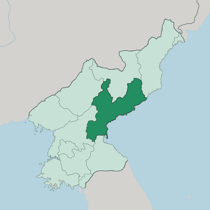
Towns & cities in South Hamgyong
Pick a town or city — each links to where to stay.
Beds cluster in and around Hamhung, the only city here set up to receive foreign visitors, which opened to Western tourists in 2010. The coast is the alternative. The Majon resort strings its villas along a sandy beach east of Hungnam, an easy detour from the city.
Sinpo, the fishing and shipbuilding port down the coast, and the mining town of Tanchon further north are working places rather than tourist bases. Choose Hamhung to see the industrial DPRK up close; choose Majon when you want the beach and the East Sea air.
About South Hamgyong
What is South Hamgyong known for?
This is the industrial heart of North Korea's east coast. Hamhung, the provincial capital and the country's second city, made its name in chemicals and fertiliser rather than sightseeing. The neighbouring port of Hungnam grew around a fertiliser complex first built under Japanese rule in 1928, and the two are now a single sprawling city on the Hamhung plain.
Behind them the Hamgyong Mountains rise steeply, while the coast holds long sandy beaches such as the one at Majon.
Where is South Hamgyong?
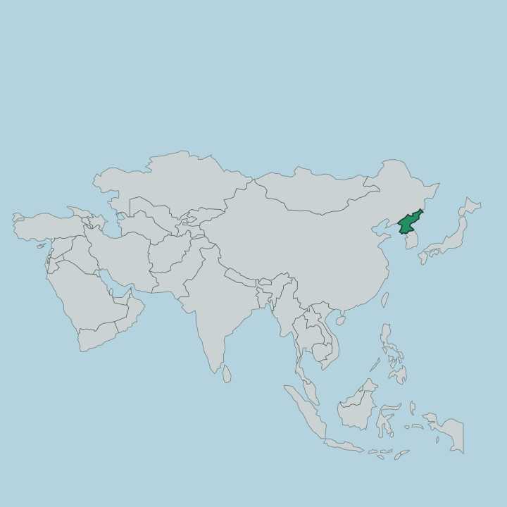
South Hamgyong occupies the middle of North Korea's east coast. It was carved out of the larger Hamgyong Province in 1896, taking the southern half. The Sea of Japan forms its whole eastern edge, and the water shapes the province more than any land border does. Ryanggang lies to the north and North Hamgyong to the northeast, both up in the high country. Kangwon borders it to the south, and South Pyongan to the west, over the mountains that split the peninsula.
Those mountains are the province's spine. The Hamgyong range runs close to the coast and climbs to bare, snow-streaked peaks, while the Rangrim range walls off the interior and makes crossing to the west a long haul. Between the ranges and the sea sits the Hamhung plain, the one broad stretch of flat, farmable land, and the reason the capital grew where it did.
Rivers drain off the high ground in short, fast courses to the coast. Their water was dammed for hydroelectric power that fed the factories below. Most of the province is steep and thinly settled.
Life gathers on the narrow coastal shelf, strung between the mountains at its back and the East Sea in front.
What is South Hamgyong like?
The province wears its industry openly. Hamhung and Hungnam are cities of chemical plants, apartment blocks and wide ceremonial avenues, laid out after the Korean War flattened the old town and the state rebuilt it as a showcase of socialist reconstruction. Smokestacks and monuments share the skyline.
This is a place people know for work, not leisure, and the vinalon synthetic fibre that the DPRK treats as a national invention was developed at Hamhung. Local speech marks the region too. The Hamgyong dialect spoken here sounds distinct from the standard of Pyongyang, one of the old regional tongues of the north.
Fishing shapes the coast the way factories shape the cities. Sinpo built a whole economy around the catch of the Sea of Japan, and it has turned to aquaculture as the fishing grounds thinned. Behind the coast, the mountain counties farm what thin soil they have and log the forested slopes.
Beaches like Majon give the province an unexpected softer side, a place where city families come for the water in summer. It is a hard-edged, working landscape softened only at its margins.
What is the history of South Hamgyong?
Hamhung carries a weight far older than its factories. Yi Seong-gye, the general who overthrew Goryeo and founded the Joseon dynasty in 1392 as King Taejo, came from here, and he retreated to the city after handing over power to his son. The province took its present shape in 1896, when the old Hamgyong Province was split and the south became a unit of its own.
Japanese rule from 1910 turned the coast industrial, planting the Hungnam fertiliser works and the hydroelectric dams that powered them. War and reconstruction did the rest.
What is the climate of South Hamgyong?
The seasons here are sharply drawn. Winters are cold and dry, with January well below freezing on the Hamhung plain, and summers are warm and wet as the monsoon pushes rain up the coast between June and August. The Sea of Japan softens the extremes on the shore.
Coastal Hamhung and Hungnam stay milder in winter and cooler in summer than the mountain counties inland, where altitude keeps the air raw. Snow lingers late on the Hamgyong peaks.
How do you get to South Hamgyong?
Nearly everyone comes by road from Pyongyang. The drive to Hamhung takes the better part of a day, crossing the mountains that divide the west coast from the east before dropping onto the coastal plain. A rail line links the capital to Hamhung and runs on up the Sea of Japan coast through Sinpo and Tanchon.
Foreign visitors reach the province only on organised trips, and Hamhung itself was closed to Western tourists until 2010. Once there, travel follows the single coastal corridor between the mountains and the sea.
Good for
Updated July 2026