Peru
Departamento de Lima, Peru — Towns & Travel Guide


Departamento de Lima wraps Peru's capital in coastal desert and Andean valleys, from the Pacific shore up to the peaks of the western Andes.
Find your area →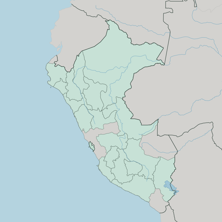
Towns & cities in Departamento de Lima
Pick a town or city — each links to where to stay.
Most trips start in Lima. The capital sits in the Rímac valley and holds the country's main airport, so it is the natural first base for the whole department, north coast and southern valleys alike. Huacho lies up the shore.
That regional seat on its wide bay is the handy base for reaching the ancient city of Caral in the Supe valley. Lunahuaná draws a different crowd, a Cañete River valley south of the capital known for pisco and whitewater rafting. The Andean provinces inland, Yauyos and Huarochirí among them, run thin on beds.
Pick Lima for arrival, the coast for the ruins, and Lunahuaná for the river.
About Departamento de Lima
What is Departamento de Lima known for?
The department surrounds Lima, Peru's capital and largest city. Its coast hides deep history. At Caral, in the Supe valley of Barranca province, a pyramid city rose around five thousand years ago, the earliest known urban settlement anywhere in the Americas.
Inland, the Cañete River drops out of the Andes through Lunahuaná, a valley of vineyards and Class III rapids. The Pacific runs the length of the western edge, and behind it the land climbs fast toward the mountains.
Where is Departamento de Lima?
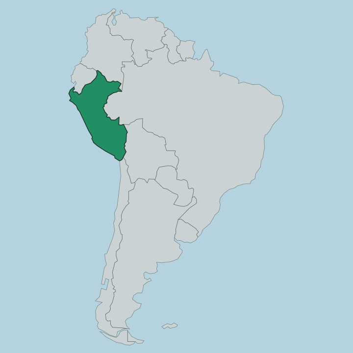
Departamento de Lima runs along the central coast of Peru, a long strip pinned between the Pacific and the mountains. The ocean forms its whole western edge. Inland the ground rises quickly onto the western slope of the Andes, from the coastal desert near sea level to Andean provinces that reach well above four thousand metres.
Three rivers cut down through the middle of that slope toward Lima, the Chillón, the Rímac and the Lurín, and it is in their valleys that the capital sits. Further south the Cañete River carves its own gorge past Lunahuaná. To the north the Supe valley opens toward Barranca and the sea.
The coast here is dry, part of the great desert belt that runs down Peru's western side, watered only where the rivers come out of the mountains. Lima the province sits in the south of the department, holding the capital under its own special regime, while the other provinces spread north and inland under the regional government at Huacho. Little rain reaches the shore.
The mountains behind catch what moisture there is, and the difference between the parched coast and the green river valleys is the whole shape of the place.
What is Departamento de Lima like?
Life in the department bends toward the capital, but the coast carries a much older story. The Supe valley near Barranca holds Caral, a city of stepped pyramids and sunken plazas built while the pharaohs still ruled Egypt, its people farming cotton and fishing the cold Pacific current here long before the Inca ever came. That deep past sits alongside a very present culture of food, festival and faith.
Spanish is the everyday language. The coastal valleys grow grapes for pisco, the clear grape brandy that Peru treats as a point of national pride, and Lunahuaná pours it straight from the bodega. Cañete province keeps a strong Afro-Peruvian tradition in its towns, in music and dance and cooking.
Ceviche, raised on the fish of the shore, is eaten everywhere. The mountain provinces hold to older rhythms, with terraced fields and village festivals tied to the harvest and the saints. Two worlds share one coast.
The ancient desert cities and the modern capital both look out on the same ocean, and the culture runs the length of the department between them.
What is the history of Departamento de Lima?
It starts at Caral. That pyramid city in the Supe valley took shape roughly five thousand years ago, the oldest known urban centre in all the Americas. Later came the coastal cultures and then the Inca, whose roads and citadels reached the Cañete valley.
Everything changed when the Spanish founded Lima in 1535 and made it the seat of their South American empire. The colonial capital pulled the whole coast into its orbit. After independence the surrounding provinces were organised as a department around that capital, and in 2002 the city's province was set apart under its own regime, leaving the rest to a regional government seated at Huacho.
What is the climate of Departamento de Lima?
The coast is a rainless desert cooled by the Pacific. For much of the year a low grey fog, the garúa, hangs over the shore near Lima without ever quite becoming rain. Temperatures stay mild, warm in the southern summer and cool and damp through the winter months.
Climb inland, though, and the picture flips fast. The Andean provinces above the coast get real rain in the wet season and cold, clear nights the rest of the year, while the middle valleys around Lunahuaná stay sunny and dry when the capital sits under cloud. Three climates, one short drive apart.
How do you get to Departamento de Lima?
Almost everyone arrives through Lima. The capital holds Peru's main international airport, the busiest gateway on the country's Pacific coast, and most flights into the region land there. From the city the Pan-American Highway runs the length of the department along the shore, south past the Cañete valley toward Lunahuaná and north through Huacho and Barranca to Caral.
Roads climbing east into the Andes are slower and windier, following the river valleys up into the mountain provinces. Buses cover all of it. For the coast the driving is easy and quick.
Common questions
What is the best area to stay in Departamento de Lima?
Lima: arriving in the capital.
Good for
Updated July 2026