Peru
Departamento de Puno, Peru — Towns & Travel Guide


Puno lines the Peruvian shore of Lake Titicaca, a cold Altiplano region of reed islands, alpaca herds and Andean folklore.
About Departamento de Puno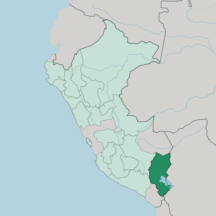
Towns & cities in Departamento de Puno
Pick a town or city — each links to where to stay.
Puno city is the base for almost every trip. It sits right on the lake. The harbour is where boats leave for the Uros reed islands and on to Taquile, and the town's hotels line the slope above it.
Juliaca, the region's largest city and its air gateway in San Román province, is more workaday but sits close to the airport. Out on the water, Amantaní and Taquile keep simple homestays for travellers who want a night among Quechua families. Choose Puno for the lake and the port; choose Juliaca if an early flight rules the day; choose the islands when you want the quiet side of Titicaca.
About Departamento de Puno
What is Departamento de Puno known for?
Puno holds the Peruvian half of Lake Titicaca, the vast highland lake it shares with Bolivia across the water to the east. The reed islands come first. Uros families anchor floating platforms of woven totora reed just off the city, and boats carry visitors on to Taquile and Amantaní, two inhabited islands where Quechua weavers keep older ways.
On land the region calls itself the folklore capital of Peru, and its February Fiesta de la Candelaria fills the streets of Puno city with masked dancers and brass bands.
Where is Departamento de Puno?
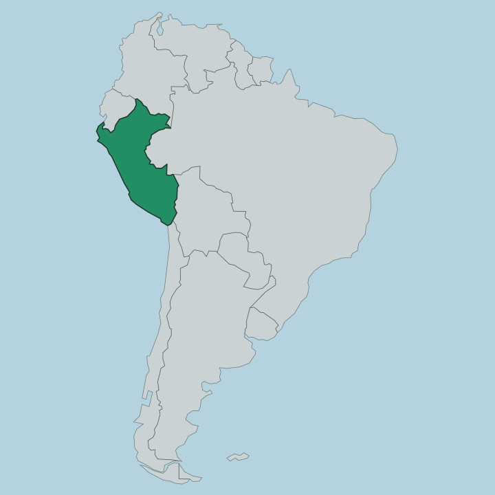
Puno fills the south-eastern corner of Peru, wrapped along the western and northern shore of Lake Titicaca. Bolivia lies across the lake to the east. The land here is the Altiplano, the high plateau that the Andes cradle between their eastern and western ranges, and almost none of it drops below the height of the lake itself.
Titicaca sits at roughly 3,830 metres, the largest lake in South America and often called the highest navigable one. Puno city stands on its shore. Around and above it the plateau rolls out in dun-coloured grassland grazed by alpaca and llama, broken by low ridges and the odd snow-topped cordillera on the horizon.
The region is one of the largest in Peru, and its 13 provinces spread well beyond the lakeside. Cusco and Arequipa border it to the west, Madre de Dios reaches down from the north, and Moquegua and Tacna edge the south. Rivers such as the Ramis drain the northern grasslands down into Titicaca, and near the city the funerary towers of Sillustani stand over the smaller Lake Umayo.
Where the plateau meets the mountains in the north-east, the ground finally breaks and falls away toward the Amazon lowlands.
What is Departamento de Puno like?
Two indigenous peoples share the plateau, and both keep their own tongue. Aymara is spoken around the southern lake and out on the Uros reed islands; Quechua carries across the northern grasslands and on Taquile and Amantaní, where the men knit and the women spin the wool that clothes the community. That weaving is famous in its own right, tight and patterned and read almost like a language of its own.
Farming still shapes daily life, and the island gardens grow dozens of kinds of potato on their terraced slopes. Puno wears the title of folklore capital of Peru, and it earns it. The proof comes in winter.
Each February the Fiesta de la Candelaria takes over the city for two weeks, tens of thousands of dancers and thousands of musicians moving through the streets in embroidered costumes and horned devil masks. The dances themselves come out of the mines and the fields and the old lake religion, layered over a Catholic saint's feast. It is one of the largest celebrations in South America, and for a fortnight the cold highland town belongs entirely to it.
What is the history of Departamento de Puno?
This shore is old. People have farmed and buried their dead here for millennia. Long before the Inca, the Aymara-speaking Colla dominated the western Titicaca basin, and their nobles were buried in tall stone chullpas, the round funerary towers that still ring Lake Umayo at Sillustani.
The Inca conquered the Colla in the 15th century and rebuilt some of those towers with their own finer masonry. Spanish silver drew colonists to the plateau after the conquest, and the modern city of Puno was founded in the 17th century as a mining and lake-port town. Its lakeside position kept it important once the mines faded.
What is the climate of Departamento de Puno?
The altitude sets the weather here. Puno runs cold and semi-dry all year, thin high-plateau air that swings from bright sun by day to hard cold once the sun drops behind the cordillera. The wet months fall between October and April, when afternoon rain sweeps in over the lake and the grasslands turn green.
The rest of the year is dry, clear and colder still at night. Titicaca itself softens the extremes along the shore, holding enough warmth to keep the immediate lakeside a shade milder than the open plateau behind it.
How do you get to Departamento de Puno?
Most travellers fly into Juliaca. Its Inca Manco Cápac airport is the region's only commercial field, about 44 kilometres north of Puno, with flights from Lima and Cusco feeding it. From the terminal a bus or taxi covers the last stretch down to the lake in around an hour.
The other classic approach is the slow one, aboard the PeruRail Titicaca train that climbs across the Altiplano from Cusco over the La Raya pass and down to Puno in a single long day. Buses run the same road for far less. Once you reach the shore, boats do the rest, out to the reed islands and across to Taquile.
Good for
Updated July 2026