Syria
Quneitra Governorate, Syria — Towns & Travel Guide


Quneitra Governorate is the southern Syrian province of the Golan Heights, a basalt plateau under Mount Hermon.
About Quneitra Governorate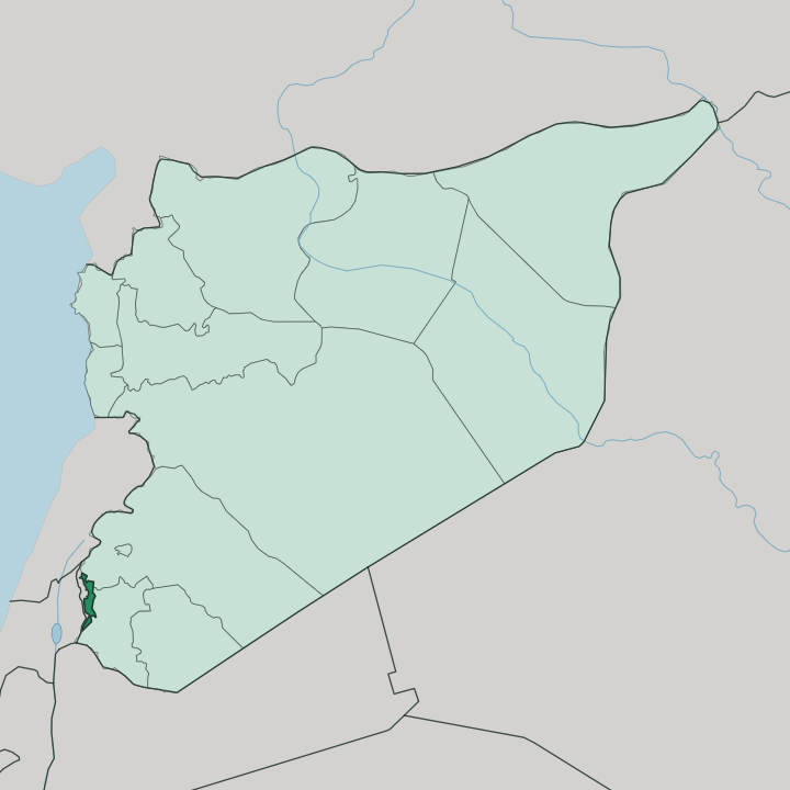
Towns & cities in Quneitra Governorate
Pick a town or city — each links to where to stay.
Beds here are all but nonexistent. Quneitra city, the nominal capital, is an abandoned ruin you cannot sleep in, so the province offers travellers next to nothing. Madinat al-Salam, the planned town settled in 1986, holds the offices and the officials but works as a seat of government rather than a place to stay.
Khan Arnabah sits just below it at the road junction, the last town before the United Nations line. Hader, the Druze village high on Mount Hermon, is remote and hard to reach. If you want a room, you base in Damascus an hour to the north-east and cross into the Golan Heights for the day.
About Quneitra Governorate
This is the Golan Heights.
What is Quneitra Governorate known for?
Quneitra Governorate is the Syrian province that officially takes in the whole basalt plateau, most of which Israel has occupied since the 1967 war. Its old capital, Quneitra city, is a deliberate ruin. Israeli forces levelled the town before their 1974 withdrawal, and it was left standing unrebuilt as a monument to that destruction, a whole ghost town on the border line.
Mount Hermon rises along the northern edge, the highest ground in Syria, and the Druze town of Hader clings to its slopes. A United Nations buffer zone splits the province in two.
Where is Quneitra Governorate?
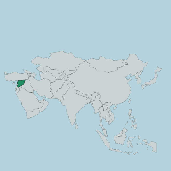
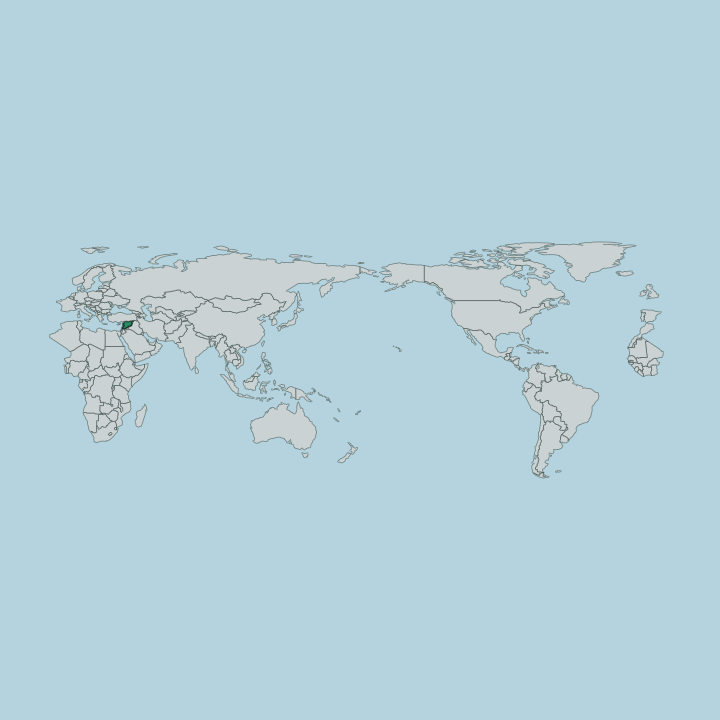
Quneitra Governorate occupies the far south-western corner of Syria, wrapped around the Golan Heights. The Golan is a plateau of black basalt, laid down by old volcanoes and cut by steep wadis, and its fertile volcanic soil has drawn farmers and herders to the plateau for centuries. Three countries press against its edges. Lebanon lies to the north-west, Jordan to the south, and Israel to the west across a fenced and watched line.
Inland, the Syrian governorates of Daraa and Rif Dimashq form the eastern and northern borders. Mount Hermon towers over the province in the north, its summit the highest point in Syria at 2,814 metres, straddling the frontier with Lebanon. Meltwater and springs run off the mountain and feed the plateau below.
The Yarmouk River marks the southern rim, and the deep gorge of Wadi Ruqqad cuts down the eastern side toward it. To the west the land drops away to the Sea of Galilee, out of Syrian reach. The buffer zone of the United Nations Disengagement Observer Force has run across the middle of the province since 1973, a demilitarised strip separating the Syrian-held east from the Israeli-occupied west.
Much of the map is a line nobody may cross. That divide governs everything about how the province is reached and lived in.
What is Quneitra Governorate like?
Life here has always been shaped by the mountain and the border. The Golan Heights was for centuries a country of herders, who drove their flocks up to the high pastures in summer and down again before the hard plateau winters closed in. That seasonal rhythm held until settled villages spread across the basalt in the nineteenth century.
The people are mixed. Druze communities hold the high ground around Mount Hermon, in villages such as Hader, where the faith has been rooted in these slopes since it was founded a thousand years ago. Circassians settled the plateau too, refugees from the North Caucasus who arrived in the nineteenth century, and the Golan became the main centre of their community in all of Syria.
Arabic is the shared language across the whole province, as it is across Syria. War runs through the recent memory of every family here. The ruin of Quneitra city, deliberately left standing as a wreck, is the province's plainest cultural monument, a whole town preserved in the state it was wrecked in.
Farming and herding still frame the year. Apples and grapes come off the terraces, and flocks still move with the seasons across the volcanic ground.
What is the history of Quneitra Governorate?
Syria carved out the governorate in 1964. Three years later, in the 1967 war, Israel seized most of the Golan Heights, and Quneitra city fell on the last day of the fighting. The Syrian army briefly took the city back during the 1973 war before an Israeli counter-attack drove it out again.
Israel handed the ruined city back under an American-brokered agreement in 1974, but only after its forces had systematically demolished the town, an act a United Nations resolution condemned as a grave breach of the Geneva Convention. The province has been split by the demilitarised line ever since.
What is the climate of Quneitra Governorate?
Height decides the climate across Quneitra. The Golan Heights has a broadly Mediterranean climate, but the height of the basalt plateau makes its winters cold and wet, and snow falls heavily on Mount Hermon, whose upper slopes stay white for months on end. Summers run dry and mild.
Up on the plateau they stay cooler than the lowlands of Syria because the whole province sits high above them. It is the snowmelt off Hermon that keeps the springs and the Yarmouk River flowing through the long dry season.
How do you get to Quneitra Governorate?
You come from Damascus. The Syrian capital lies an hour to the north-east, and a single road runs south-west from it across the plateau, through Khan Arnabah and up to Madinat al-Salam. That road is the only real way in, and it ends at the United Nations line; the west of the province, under Israeli occupation, cannot be entered from the Syrian side at all.
There is no airport and no railway on the Golan Heights. Ruined Quneitra city, right on the buffer zone, has long needed a military permit even to visit.
Good for
Updated July 2026