United States
Arizona, United States — Towns & Travel Guide


Arizona is a landlocked state in the Southwestern United States, meeting Colorado, New Mexico, and Utah at the Four Corners.
Find your area →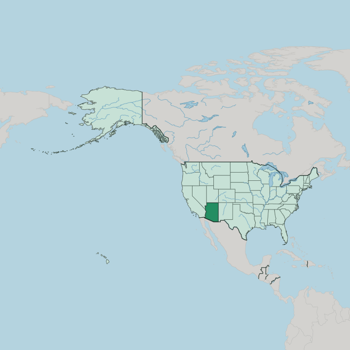
Towns & cities in Arizona
Pick a town or city — each links to where to stay.

 United States
Phoenix
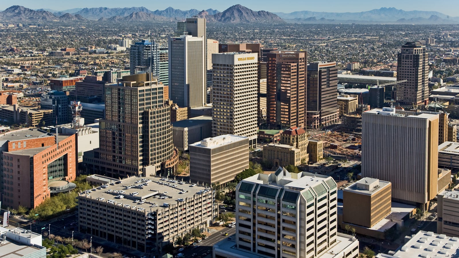
Phoenix spreads across the interior of Arizona, the capital and largest city of the state, known for the Heard Museum and its long, sun-baked summers.Where to stay →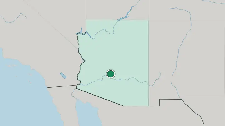
 United States
Tucson
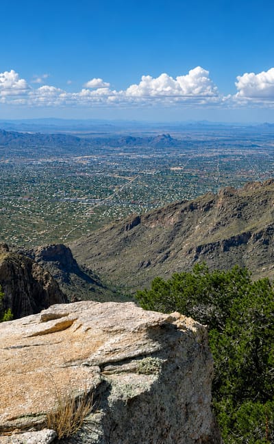
Tucson is the second-largest city in Arizona, set in the Sonoran Desert and known as the Old Pueblo, seat of the University of Arizona.Where to stay →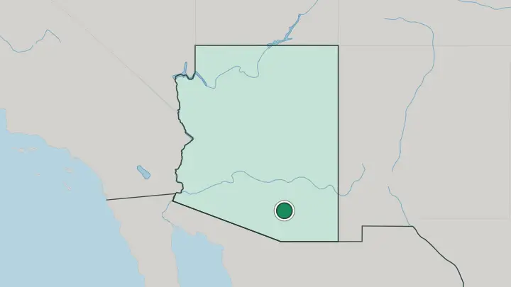
 United States
Scottsdale
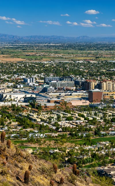
Desert light and gallery walls mark Scottsdale, a city in the Phoenix area of Arizona known as The West's Most Western Town.Where to stay →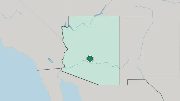
 United States
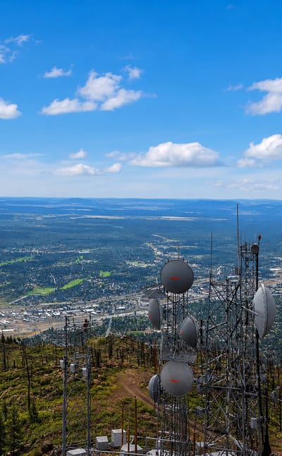
Flagstaff
Timber houses line the old streets of Flagstaff, a city in Arizona, known for its preserved centre and the twin-towered Our Lady of Guadalupe Church.Where to stay →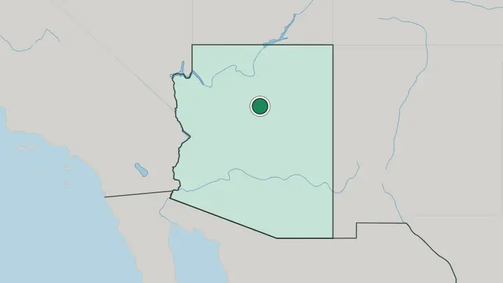
About Arizona
What is Arizona known for?
Arizona is known for its position in the Four Corners country, the only place where four states meet at a single point. It shares that corner with Colorado, New Mexico, and Utah. The state runs south to an international border with the Mexican states of Sonora and Baja California, then reaches west to California and northwest to Nevada.
Phoenix anchors it. Fifteen counties divide it.
Where is Arizona?
Arizona sits in the Southwestern United States, a landlocked state that touches no sea. Its defining edge is a corner. At the Four Corners, Arizona meets Colorado, New Mexico, and Utah at one exact point, the only place in the country where four states come together.
That junction fixes the state within the wider Four Corners country. It gives Arizona a clear place in the map of the Southwestern United States, set well inland from any coast. Beyond that corner, the state's borders fan outward to several neighbours.
Nevada lies to the northwest and California to the west, drawing the state's line toward the country's western edge. To the south and southwest, Arizona runs down to an international border with the Mexican states of Sonora and Baja California, its longest reach toward Mexico. Phoenix, the state capital, sits within this frame as the central point of reference.
Fifteen counties divide the whole. The result is a state defined more by its inland position than by any single river or shore. As a border state, Arizona faces both the interior of the country and the line into Mexico.
What is Arizona like?
Life in Arizona takes its shape from the wider Southwest. The state shares the Four Corners country with Colorado, New Mexico, and Utah, and that shared ground gives it a regional identity larger than its own borders. It reads as a Southwestern state first.
The interior setting, far from any coast, and the long line toward Mexico both leave their mark on how the state sees itself. Its neighbours in every direction are other states or Mexico, never the sea. The southern edge is a border.
Arizona meets Sonora and Baja California, two Mexican states, along an international line, and that adjacency to Mexico is part of the state's makeup. The opposite ties reach to Utah, Colorado, and New Mexico across the Four Corners. Phoenix, the state capital, gathers much of that mixed influence into one centre.
Statehood came in 1912, making Arizona one of the younger states within the United States rather than one of its founding members. That double pull, inland to the Four Corners and outward to Sonora and Baja California, is the plainest fact of the state's cultural geography. Across fifteen counties, the throughline is a Southwestern, border-facing character rather than any coastal one.
What is the history of Arizona?
Arizona entered the United States in 1912, joining as one of the later additions among the states. Its outline was already set by then: the Four Corners meeting-point with Colorado, New Mexico, and Utah to one side, and the border with Sonora and Baja California, across the line into Mexico, to the other. Those borders long predate statehood.
Phoenix stands as its capital.
What is the climate of Arizona?
Arizona lies within a subtropical band, and its inland position shapes the weather more than anything else. With no coast to temper it, the state runs warm, and the subtropical setting makes for long summers. Winters ease off.
The landlocked setting, far from any sea, gives the air a continental character rather than a maritime one, the same pattern found across the wider Four Corners country.
How do you get to Arizona?
Arizona is reached overland from every side. Roads cross in from California to the west and Nevada to the northwest, while the Four Corners links it to Colorado, New Mexico, and Utah. From the south, crossings from the Mexican states of Sonora and Baja California bring travellers over the international border.
Phoenix, the state capital, is the usual point of arrival and the hub for onward travel. It has no seaport.
Common questions
What is the best area to stay in Arizona?
Phoenix: a central first base and onward travel in Arizona.
Updated July 2026