Brazil
Tocantins, Brazil — Towns & Travel Guide


Tocantins is Brazil's newest state, carved from northern Goiás in 1988, its cerrado split by the Araguaia and Tocantins rivers.
About Tocantins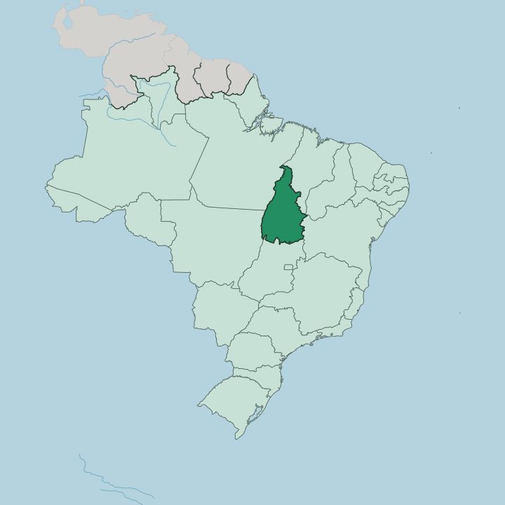
Towns & cities in Tocantins
Pick a town or city — each links to where to stay.
Most trips start in Palmas. The capital keeps the main airport and the region's reliable beds, and it serves as the staging post for the long 4x4 run east into Jalapão. Mateiros lies deep in that east.
It is the closest town to the dunes and the fervedouros, though its handful of pousadas fills fast in the dry months. Araguaína anchors the north; the Araguaia lodges anchor the west.
About Tocantins
Two names draw travellers here: Jalapão and the Araguaia.
What is Tocantins known for?
Jalapão spreads across the state's east, a cerrado wilderness of golden dunes, plunging waterfalls, and the fervedouros where underground springs boil up through white sand. The Araguaia runs down the western edge. There it wraps Bananal Island, the largest river island on Earth, a maze of lakes and gallery forest shared by the Karajá and Javaé peoples.
Palmas ties it together. The planned capital sits mid-state on the Tocantins River, the usual jumping-off point for the dunes and the river alike.
Where is Tocantins?
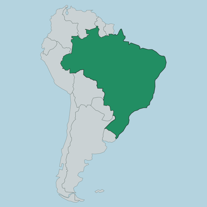
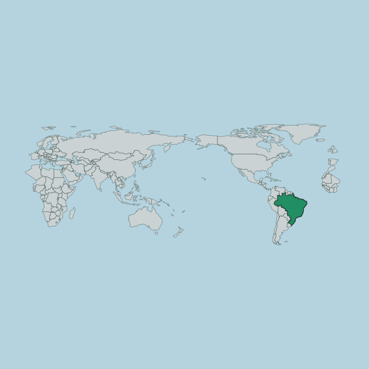
Tocantins sits in north-central Brazil, in the country's North Region. Six states ring it. Maranhão and Piauí lie to the north-east, Bahia to the east, Goiás to the south, Mato Grosso to the west, and Pará to the north-west. The land is high cerrado tableland, part of the Brazilian Highlands, gently raised above the surrounding basins.
Two great rivers define it. The Tocantins River runs the length of the state from south to north, gathering the drainage that lends the state its name. The Araguaia traces the western boundary.
Along that western edge the Araguaia splits around Bananal Island, the largest river island on Earth, before rejoining below it. Jalapão fills the far east. There the cerrado breaks into dune fields, flat-topped serras, and clear spring-fed rivers cutting the sandstone.
Northward the savanna gives way to the first Amazon rainforest, and the transition belt runs across the top of the state toward Pará. Palmas stands near the middle. The capital rises on the right bank of the Tocantins, where the river widens behind the Luís Eduardo Magalhães dam into a long reservoir.
Rivers, not roads, set the shape of this state.
What is Tocantins like?
Tocantins is Brazil's youngest state, and it feels it. Palmas was drawn on paper and raised from bare cerrado, a grid of broad avenues and numbered blocks laid out where cattle pasture had been. Older worlds sit alongside it.
On Bananal Island the Karajá and Javaé peoples still fish the Araguaia and shape the Ritxòkò, the painted clay dolls that Brazil lists as cultural heritage. Out in Jalapão, weavers coil capim dourado, the golden grass of the region, into bright stitched bowls and jewellery. The craft belongs to the Mumbuca community.
Colonial gold towns survive further south, where Natividade and Porto Nacional keep their baroque churches and cobbled cores from the old mining days. Portuguese is the language throughout. River fish anchors the table, tucunaré and pintado grilled or stewed, alongside the pequi fruit and rice grown across the floodplains.
Rodeos and river festivals fill the calendar. Every June the colonial towns mount their Divino Espírito Santo processions, and cattle fairs and sertanejo music pull crowds through the dry-season nights. The mix is young and rough-edged, part frontier, part deep river tradition.
What is the history of Tocantins?
The story starts with gold. Eighteenth-century prospectors pushed north into the Goiás sertão and raised mining towns like Natividade, whose churches still stand. For two centuries the north was the forgotten end of a huge state governed from far to the south, and the distance bred a long campaign to break away.
It won in 1988. Brazil's new constitution carved Tocantins from the northern two-fifths of Goiás, Siqueira Campos took office as its first governor, and Palmas broke ground the next year.
What is the climate of Tocantins?
Tocantins runs hot the year round. Its cerrado follows one rhythm: a wet season that soaks the state from roughly October to April, then a long dry stretch through the middle of the year. The rains bring towering storms and green savanna.
Then the taps shut off. Grass browns, the Tocantins and Araguaia rivers drop to expose broad white sand beaches, and haze from scattered fires hangs over the tablelands until the storms return.
How do you get to Tocantins?
Most arrivals come by air into Palmas. Brigadeiro Lysias Rodrigues Airport takes the flights from Brasília, São Paulo, and Goiânia, and it is the sensible first stop for anyone bound for Jalapão. Overland, the BR-153 runs the spine.
That highway, the old Belém-Brasília road, carries the long-distance buses north and south through Gurupi, Palmas, and Araguaína. Jalapão is the hard part. Reaching the dunes means a rough 4x4 haul of several hours east from Palmas, over unpaved sand tracks through Ponte Alta and Mateiros.
Good for
Updated July 2026