Germany
Saarland, Germany — Towns & Travel Guide


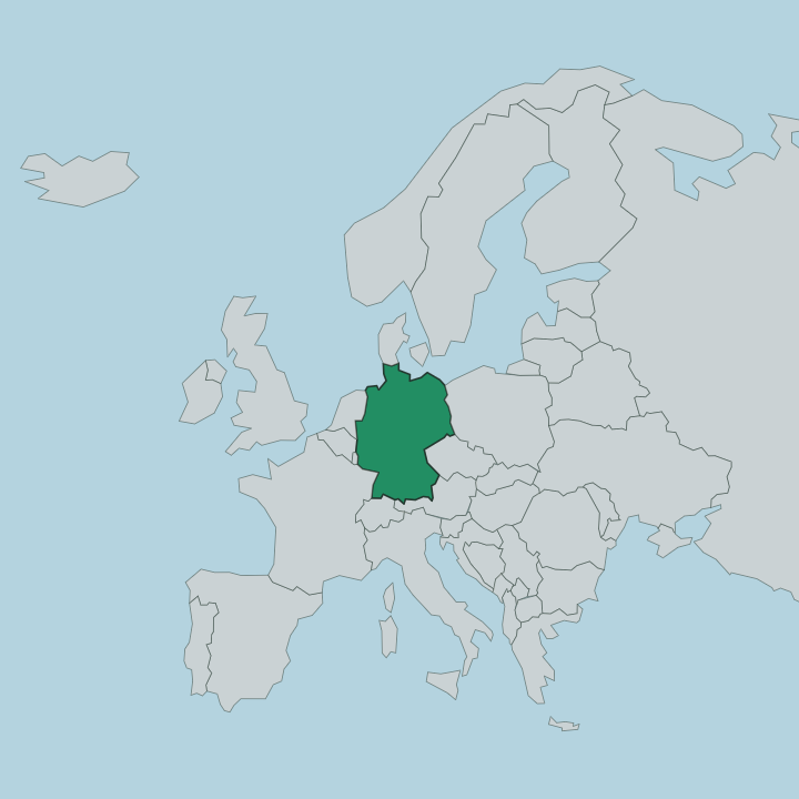
Saarland is Germany's smallest full state, wrapped around the Saar in the far south-west against France and Luxembourg.
Find your area →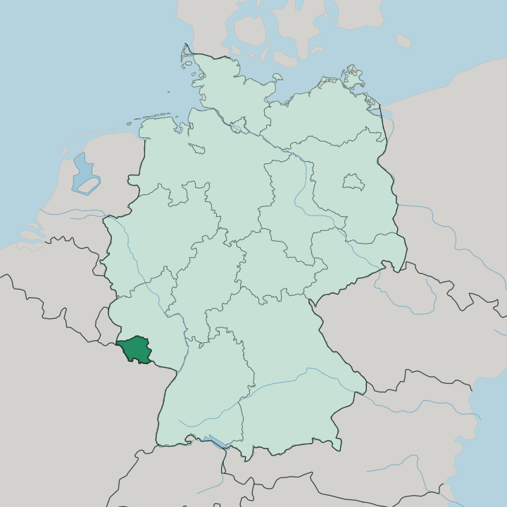
Towns & cities in Saarland
Pick a town or city — each links to where to stay.
 Germany
Saarbrücken
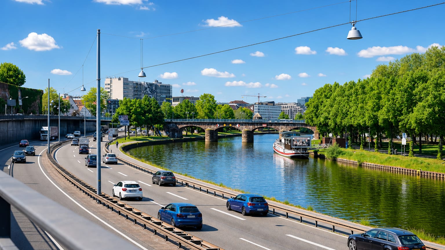
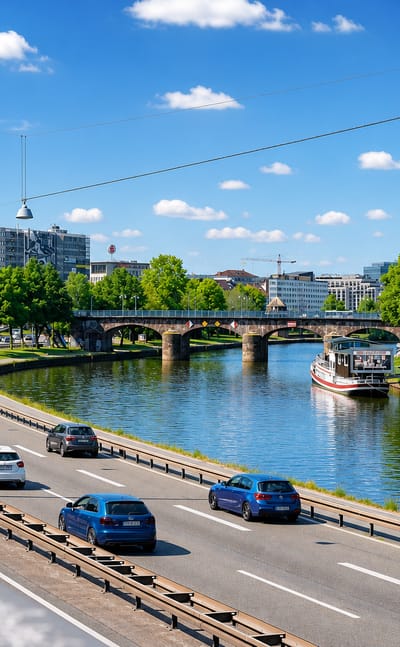
The Baroque Ludwigskirche crowns Saarbrücken, the capital of Saarland, a city of bridges spanning the Saar and named for its crossings.Where to stay →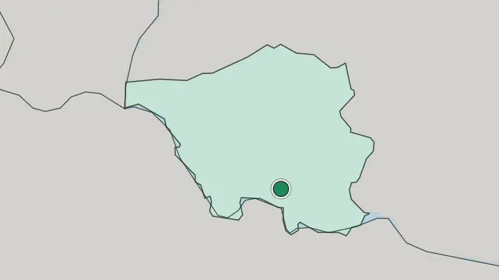
About Saarland
What is Saarland known for?
Coal and steel built this corner of Germany, and the works still stand. The Völklingen Ironworks, shut down and turned into a UNESCO World Heritage site, is the emblem of that industrial past. Forest is the counterweight.
Roughly a third of Saarland lies under trees, one of the highest shares of any German state, and the Saar coils through it in a tight loop, the Saarschleife, near Mettlach. Saarbrücken, the capital on the French border, ties the two sides together, half heavy-industry heritage and half a river town leaning south toward France.
Where is Saarland?
Saarland sits in the far south-west of Germany, pressed against France and Luxembourg. It is the country's smallest state apart from the city-states, a compact wedge of hill country covering a little over 2,500 square kilometres. The Saar gives it both its name and its shape.
The river enters from France, briefly tracing the border, then winds north-west across the whole state to meet the Moselle just over the line in Rhineland-Palatinate, which wraps around Saarland to the north and east. France's Moselle department forms the western and southern edge, and a short stretch of frontier, only about 8 kilometres long, touches Luxembourg in the north-west. The land is folded and green.
Roughly a third of it is forest, one of the highest proportions of any German state, and the ground rises away from the river to the Dollberg, the state's highest point in the northern uplands. Near Mettlach the Saar doubles back on itself in a near-complete loop, the Saarschleife, cut deep into wooded hills. The old coalfield runs east from the river valley.
It threads through Völklingen, Saarbrücken and on toward Neunkirchen, the industrial spine that made the region matter. No part of Saarland lies far from that valley.
What is Saarland like?
France is never far away here, and Saarland knows it. The border shifted back and forth for a century, and French habits stuck. Cooking leans that way.
Local menus carry more butter, more wine and dishes closer to Lorraine than to the rest of Germany, and Saarbrücken keeps a reputation for eating well by German standards. French is taught early and used easily. The state has pushed a Frankreichstrategie, a long plan to make the region bilingual, and the closeness to France is treated as an asset rather than a quirk.
Underneath the French veneer the roots are industrial. Generations worked the pits and the steelworks, and that shared working past still shapes how people here talk about themselves. The dialect is its own marker.
Rhine Franconian and Moselle Franconian are spoken across the state, distinct from standard German and audibly local. The old Völklingen Ironworks now runs as an arts and exhibition venue, its blast furnaces kept as a monument rather than scrapped. Steel became heritage.
That mix, French table, German dialect, ironworks turned gallery, is the texture of the place.
What is the history of Saarland?
Coal made Saarland a prize. From the eighteenth century its pits and furnaces drew the attention of larger powers, and the border here rarely sat still. After the First World War the League of Nations put the Saar under French administration until a 1935 plebiscite returned it to Germany.
War repeated the pattern. France took control again after 1945, running the Saar for a decade as a semi-autonomous protectorate leaning toward Paris. Then the people chose.
A 1955 referendum rejected that separate status, and on 1 January 1957 the Saar joined West Germany as a full state, the move Germans still call the little reunification. The last coal mine closed in 2012, ending some 250 years of mining.
What is the climate of Saarland?
Saarland is mild and damp. Its inland position gives it warm-ish summers and cool rather than harsh winters, softened by wet Atlantic air that reaches this part of Germany from the west. Rain falls through the year, and the wooded Saar hills stay green well into autumn.
Snow visits the higher ground around the Dollberg more than the river valley, which sits low and sheltered. Grey, wet spells are common. Little of the weather here turns extreme.
How do you get to Saarland?
The great majority of visitors come into Saarland by land rather than by air. Saarbrücken has its own small airport at Ensheim, but the fuller way in is by rail: high-speed trains run from the German network through Mannheim and on to Saarbrücken, and TGV services connect the capital directly to France. Frankfurt-Hahn and Luxembourg airports lie within driving reach for cheaper flights.
Once inside the state, everything clusters along the Saar valley. Saarbrücken, Völklingen and Saarlouis sit close together on or near the river, easy to link by regional train or road. They all line the Saar.
Common questions
What is the best area to stay in Saarland?
Saarbrücken: a natural first stop in the state.
Updated July 2026