Greece
Eastern Macedonia and Thrace, Greece — Towns & Travel Guide


Eastern Macedonia and Thrace is Greece's north-eastern corner, running from the Néstos to the Évros river along the Aegean Sea.
Find your area →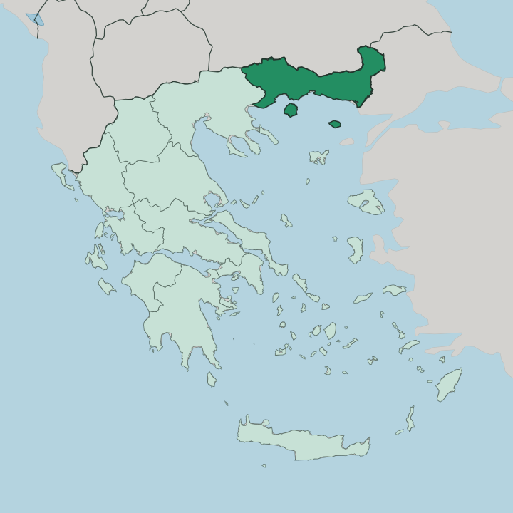
Towns & cities in Eastern Macedonia and Thrace
Pick a town or city — each links to where to stay.
 Greece
Kavála
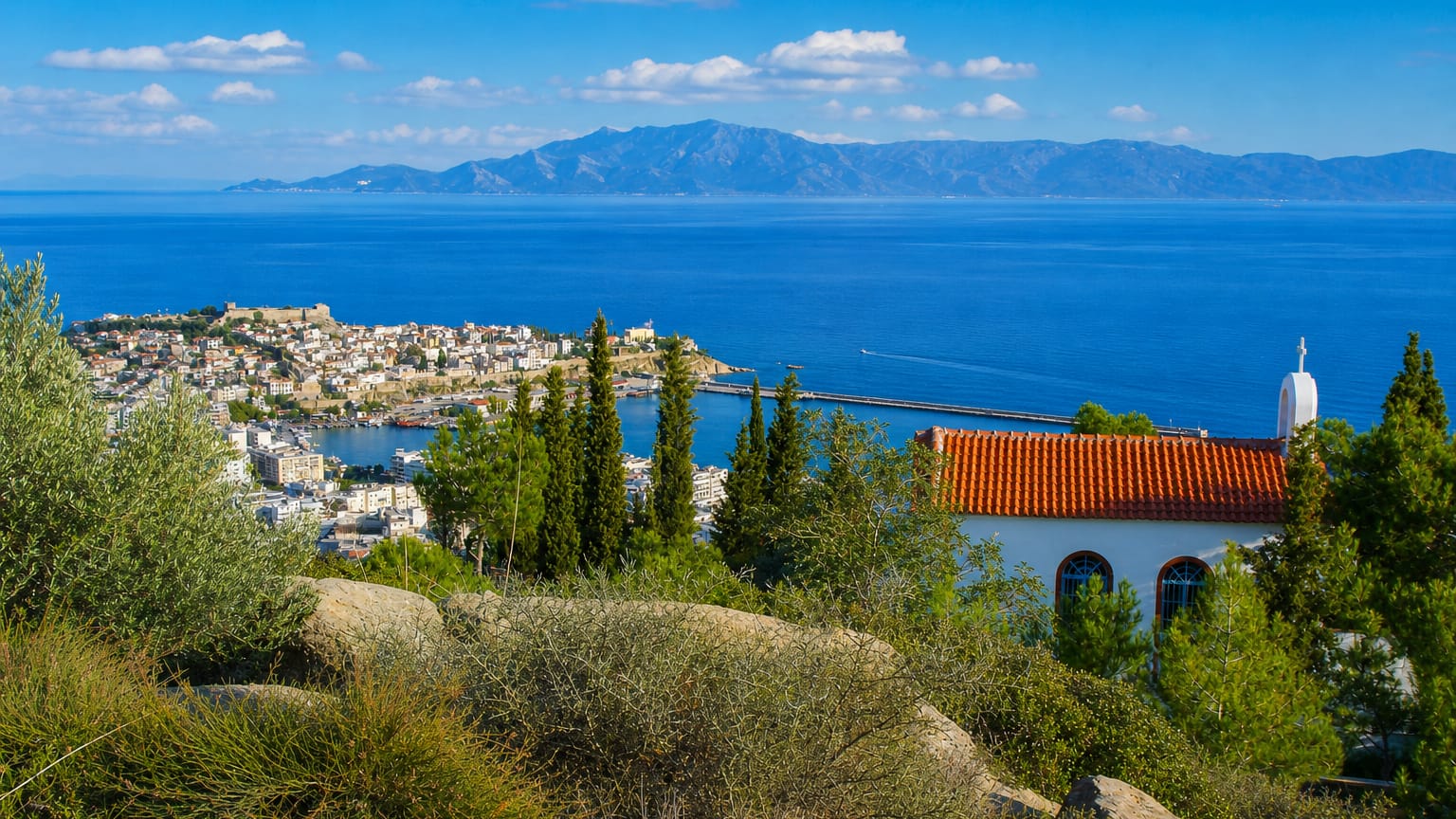
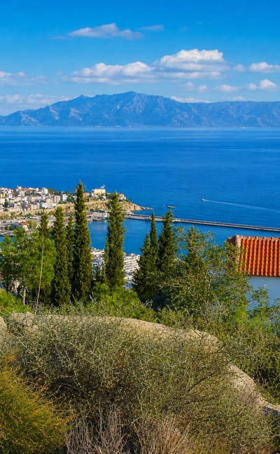
Old houses climb the Panagia peninsula at Kavála, the chief seaport of eastern Macedonia in northern Greece and capital of the Kavala regional unit.Where to stay →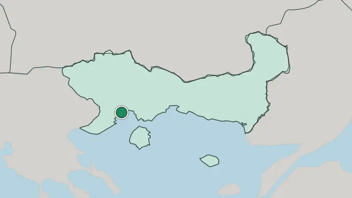
About Eastern Macedonia and Thrace
What is Eastern Macedonia and Thrace known for?
This is the last stretch of Greece before Turkey. It carries the country's largest Muslim minority. Komotini, the regional capital, keeps mosques and churches within the same few blocks, a legacy of the communities exempted from the 1923 population exchange.
Kavala rises in tiers above its harbour under the long stone arches of the Kamáres aqueduct, and Xánthi guards an Ottoman old town built on the tobacco trade. Offshore lie Thásos and Samothráki, and inland the Rhodope Mountains climb toward the Bulgarian border.
Where is Eastern Macedonia and Thrace?
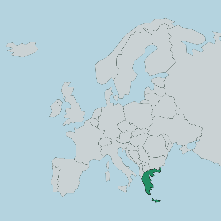
Eastern Macedonia and Thrace fills the north-eastern corner of Greece. It is the last region before the country runs out of land. Two rivers set its width: the Néstos, dropping from the Bulgarian Rila to a reed-choked delta on the Thracian Sea, and the Évros far to the east, which carries the border with Turkey down to another wide delta.
Between them lies Greek Thrace, a coastal plain of tobacco fields and floodplain marsh that rises northward into the wooded Rhodope Mountains along the Bulgarian frontier. To the west, past the Néstos, the ground belongs to Greek Macedonia and the plain around Drama and Kavala. Bulgaria closes the whole northern edge, Turkey the eastern one.
The sea does the rest of the framing. The Aegean laps the entire southern shore, and two islands sit off it as part of the region. Thásos, near-circular and ribbed with marble hills, lies just south of Kavala.
Samothráki rises far more steeply, a single dark peak breaking the horizon out toward the open water. Alexandroúpoli marks the south-eastern limit, the last Greek port before the Évros hands the coast across to Turkey. Six regional units divide it all.
They run from Drama in the interior to Évros on the Turkish line.
What is Eastern Macedonia and Thrace like?
Two faiths keep house side by side here. The 1923 Treaty of Lausanne exchanged the Orthodox and Muslim populations of Greece and Turkey, but the Muslims of western Thrace were exempted and stayed. Their descendants, Pomaks of the Rhodope hills, Turks of the plain, and Roma, still fill the villages around Komotini and Xánthi, so a call to prayer and a church bell can sound within the same hour.
The market days bring the two worlds into one crowd of stalls. The land shaped the rest. Tobacco was the money crop for a century, and the leaf built the merchant mansions of Xánthi and the warehouses along the Kavala waterfront.
Soúfli, near the Évros, spun the region's silk from mulberry groves that still line the river road. The kitchen leans east, heavy with pastry, yoghurt, and the pepper preserves of the plain. Every spring the fields around Xánthi flush with the wild-flower carnival that gives the town its festival, and the older customs run older still.
On Ágios Panteleímonas day, firewalkers of the Anastenária tread live coals in villages settled by refugees from eastern Thrace. It is Greece, but a Greece that has always faced the Balkans and the Bosphorus.
What is the history of Eastern Macedonia and Thrace?
People have lived here since the Stone Age. Greek colonists founded Abdera and Maróneia on the Thracian coast, and Philip II of Macedon seized the gold hills inland and named Philippi after himself in 356 BC. Rome drove the Via Egnatia straight through.
It was on that road, at Philippi, that the apostle Paul preached the first Christian sermon on European soil. Byzantines, then Ottomans, held Thrace for centuries, and the land only joined the modern Greek state after the Balkan Wars in 1913. The present region was drawn in 1987 from the old prefectures of Drama, Kavala, Xánthi, Rhodope, and Évros.
What is the climate of Eastern Macedonia and Thrace?
The coast and the mountains keep two different climates. Down by the Aegean, around Kavala and Alexandroúpoli, summers run hot and dry and winters stay mild in the Mediterranean pattern. Climb north into the Rhodope Mountains and the air turns continental, with cold snowy winters and thick forest that holds the damp.
The Évros delta in the east draws wintering birds by the thousand onto its marshes. Spring greens the tobacco plain fast.
How do you get to Eastern Macedonia and Thrace?
Two airports open the region. Kavala's field on the coast serves the western half and the ferry over to Thásos, while Alexandroúpoli's airport covers the Thracian east and the boat to Samothráki. The Egnatía Odós motorway runs the whole width of the region, tracing the old Roman Via Egnatia from the Strymónas in the west to the Kípoi crossing into Turkey.
Trains and buses follow that same corridor between the cities. From the north, road crossings drop down out of Bulgaria through the Rhodope passes.
Common questions
What is the best area to stay in Eastern Macedonia and Thrace?
Kavala: the tiered seaport under the Kamáres aqueduct.
Good for
Updated July 2026