Morocco
Tanger-Tetouan-Al Hoceima, Morocco — Towns & Travel Guide


Morocco's northern tip, where the Rif meets the Strait of Gibraltar and Tangier guards two seas at once.
Find your area →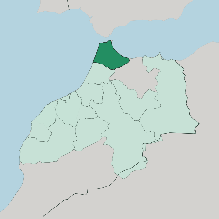
Towns & cities in Tanger-Tetouan-Al Hoceima
Pick a town or city — each links to where to stay.
 Morocco
Tétouan
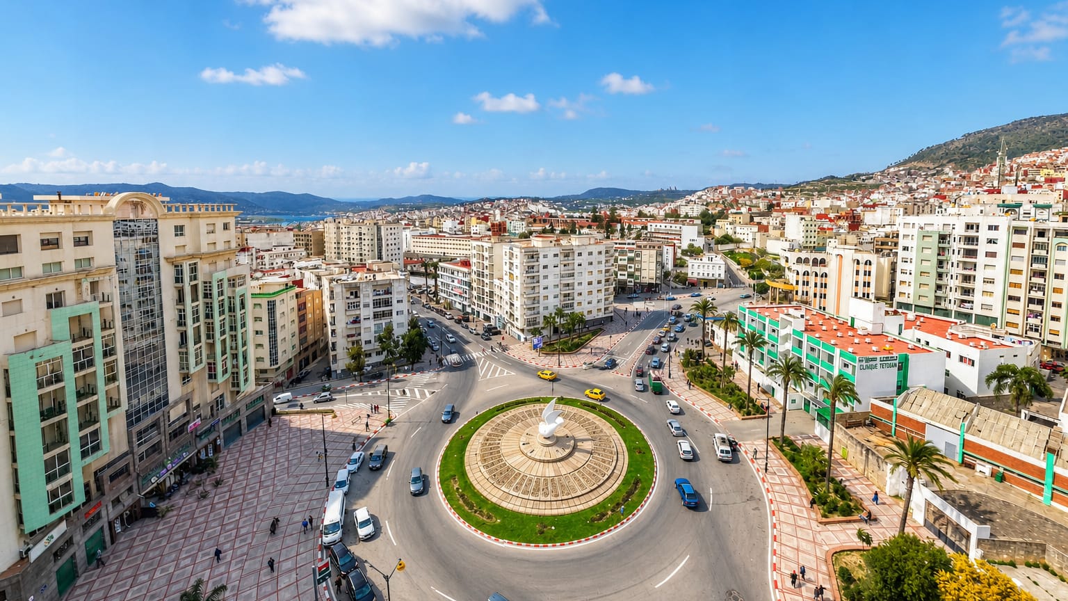
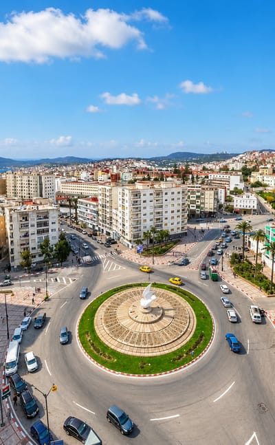
White walls rise above the Martil Valley at Tétouan, a Mediterranean port in Tanger-Tetouan-Al Hoceima, Morocco, known for its UNESCO medina.Where to stay →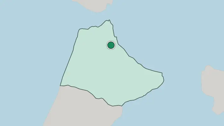
About Tanger-Tetouan-Al Hoceima
What is Tanger-Tetouan-Al Hoceima known for?
This is the northernmost of Morocco's twelve regions. Tangier anchors it. The city sits where the Atlantic Ocean funnels into the Mediterranean Sea through the Strait of Gibraltar, close enough to Spain to see it across the water.
Inland, the Rif rises into blue-painted Chefchaouen and the walled medina of Tétouan, while the Mediterranean coast runs east to the beaches of Al Hoceima. Ferries, a fast rail line, and the vast Tanger Med port make it Morocco's main door to Europe.
Where is Tanger-Tetouan-Al Hoceima?
The region caps the far north of Morocco. Two coasts define it. The Atlantic Ocean washes its western shore, the Mediterranean Sea its northern one, and the two waters meet at the Strait of Gibraltar, the narrow channel that separates the region from Spain by only a few miles.
Tangier stands right at that hinge, on the corner where Atlantic swings into Mediterranean. Ceuta, a Spanish city, pokes into the coast just east of it. Behind the ports the land climbs fast. The Rif mountains rise across the interior, steepest toward the east around Al Hoceima, and Talassemtane National Park protects a patch of rare fir forest above Chefchaouen.
The western Rif holds Tangier, Tétouan and Chefchaouen; the eastern Rif rolls down to the Mediterranean at Al Hoceima. In the fertile south-west the ground eases off, and the Loukkos river gathers the runoff from the mountains and carries it out to the Atlantic near Larache. Sea on two sides, mountains down the middle.
That is the whole shape of it.
What is Tanger-Tetouan-Al Hoceima like?
The north wears its border position openly. Andalusia is written into it. When Granada fell in 1492, Muslim and Jewish exiles crossed the water and rebuilt Tétouan, which still carries the nickname Granada's Daughter and keeps that Andalusi grain in its plasterwork and its music.
Spanish stayed in the air long after, a legacy of the years when this strip was the Spanish zone of Morocco, and you hear it traded with Arabic in the streets of Tangier and Tétouan. Up in the eastern Rif the older Amazigh identity holds firm. Around Al Hoceima the Riffian Berber tongue, Tarifit, is the first language of the mountains, distinct from the Arabic of the coast and the plains.
Tangier carries a different memory again. For decades it ran as an international zone, a free port drawing writers, spies and painters from many countries, and that open, worldly streak never fully left. The region reads as several distinct worlds pressed into one short stretch of coast and ridge, from the blue paint of Chefchaouen to the whitewash of Tétouan and the Mediterranean light on Al Hoceima.
Old borders, still visible.
What is the history of Tanger-Tetouan-Al Hoceima?
The administrative region is new, drawn up in 2015 when Al Hoceima Province was folded into the older Tangier-Tétouan region. The land itself is ancient. Tangier began as a Phoenician trading post on the Strait of Gibraltar and passed through Roman, Arab, Portuguese and English hands before Morocco reclaimed it.
Tétouan was rebuilt in the late 15th century by exiles from Nasrid Granada. In the colonial era the whole north became the Spanish protectorate, and the Rif rose against it under Abd el-Krim in the Rif War of the 1920s before Morocco regained the north with independence.
What is the climate of Tanger-Tetouan-Al Hoceima?
The coast runs Mediterranean. Summers are hot and dry, winters mild and wet, with most of the rain arriving between autumn and early spring. Tangier and Tétouan catch heavier rainfall than almost anywhere else in Morocco, wrung out of the Atlantic weather as it hits the Strait of Gibraltar.
Climb into the Rif and it turns cooler and greener, and the high forests above Chefchaouen can see snow in the depths of winter. The sea keeps the shore mild all year.
How do you get to Tanger-Tetouan-Al Hoceima?
Most travellers land at Tangier's Ibn Battouta Airport or step off a ferry. The crossing is short. Boats run daily from Spain across the Strait of Gibraltar into the Tanger Med port, the largest in Africa, sitting a short way east of the city.
From inside Morocco a high-speed rail line links Tangier down to Casablanca in a couple of hours. Chefchaouen, Tétouan and Al Hoceima take a bus or a hired car up into the Rif from the coast.
Common questions
What is the best area to stay in Tanger-Tetouan-Al Hoceima?
Tétouan: Andalusi heritage inside a living old town.
Good for
Updated July 2026