Mexico
Estado de Baja California Sur, Mexico — Towns & Travel Guide


Baja California Sur is the southern half of Mexico's Baja California peninsula, a desert land between the Gulf of California and the Pacific Ocean.
Find your area →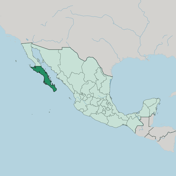


Towns & cities in Estado de Baja California Sur
Pick a town or city — each links to where to stay.
 Mexico
Cabo San Lucas
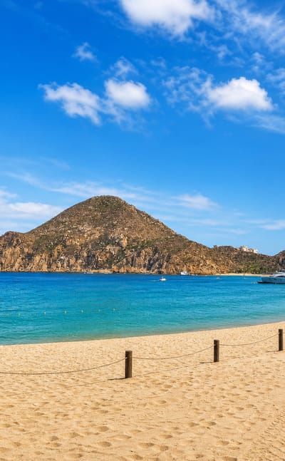
The sea wraps three sides of Cabo San Lucas, a resort city at the southern tip of the Baja California peninsula in Baja California Sur, half of Los Cabos.Where to stay →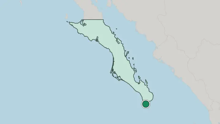
About Estado de Baja California Sur
Two seas frame the land.
What is Estado de Baja California Sur known for?
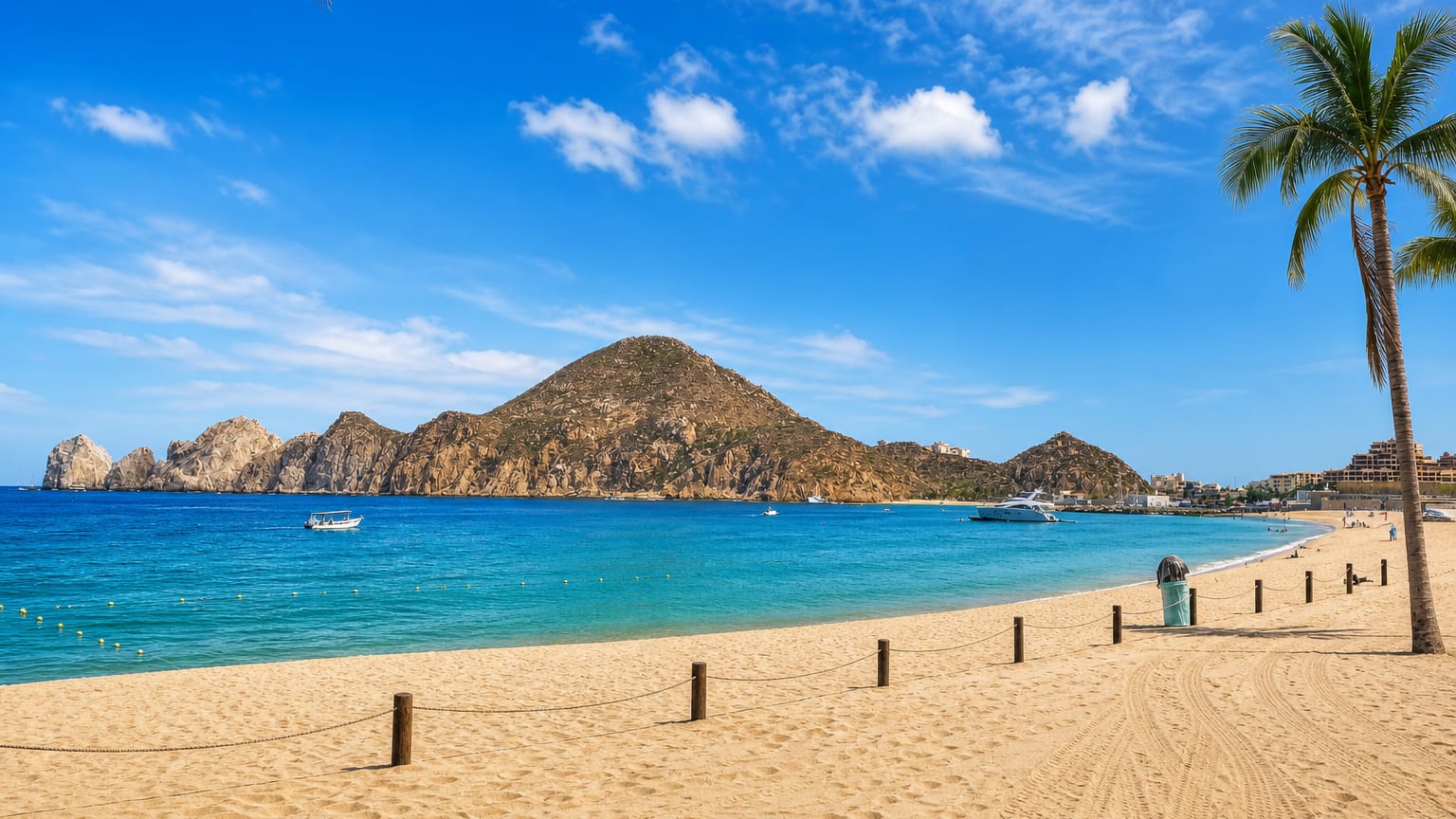
Sport-fishing fleets and cruise ships crowd Cabo San Lucas, where the granite arch at Land's End marks the tip of the Baja California peninsula, the busiest corner of the state. Gray whales come each winter to the lagoons of the Pacific Ocean to calve and breed. Off La Paz, snorkelers swim with whale sharks and sea lions in the clear water off Isla Espíritu Santo.
The cardón cactus grows tall here.
Where is Estado de Baja California Sur?
The state runs long and narrow. It occupies the southern half of the Baja California peninsula, the tongue of desert land that reaches down from the United States border and separates the Gulf of California from the open Pacific Ocean. A line near the 28th parallel divides it from the northern state of Baja California.
Two mountain chains form its spine, the Sierra de la Giganta above the gulf and the Sierra de la Laguna in the south. Granite peaks rise above the desert scrub. Locals call the eastern gulf the Sea of Cortez, and its warm water teems with marine life.
Its coastline is the longest of any Mexican state, and it holds more islands than any other. Isla Espíritu Santo lies off La Paz on the Gulf of California, its cliffs cut into coves of pale sand. On the Pacific side, wide lagoons and Magdalena Bay break the shore, while the farming plain of the Valle de Santo Domingo spreads inland around Ciudad Constitución.
The peninsula ends at Cabo San Lucas. There the granite headland of Land's End drops into the sea where the Gulf of California and the Pacific Ocean come together.
What is Estado de Baja California Sur like?
Spanish runs through daily life. The state grew up around the Jesuit missions, and their stone churches still anchor towns like Loreto and San Javier deep in the Sierra de la Giganta. Their mission dates and figs still grow in oasis villages like San Ignacio and Mulegé.
Away from the resorts, a ranchero culture of cattle, leather, and date palms endures. The people call themselves sudcalifornianos, proud of that desert isolation. Fewer people live here than in almost any other Mexican state.
At fiestas, accordion and guitar trios still play the old corridos and rancheras across the peninsula. The kitchen leans hard on the sea, from fish tacos to chocolate clams grilled in their shells over open coals in Loreto. Cooks dry fish and even manta ray into machaca when the ranches run short.
Sweet damiana liqueur pours after dinner. Art has taken over Todos Santos and San José del Cabo, where galleries fill old adobe houses. In the hills, the silver-mining ghost town of El Triunfo has come back with cafés and an annual piano festival.
The pace stays unhurried.
What is the history of Estado de Baja California Sur?
People have lived here for millennia. The Pericú, Guaycura, and Cochimí fished the coasts and left painted caves in the sierra long before Hernán Cortés landed at the bay of La Paz in 1535. Ships of the Manila galleon trade paused along the coast for water and fresh food.
In 1697 the Jesuit Juan María de Salvatierra founded the mission at Loreto, the first lasting European town on the peninsula and the early capital of the Californias. A hurricane later wrecked Loreto, so the capital moved to La Paz, and full statehood came only in 1974.
What is the climate of Estado de Baja California Sur?
The state is desert throughout. Summers turn fierce along the Gulf of California, while the Pacific Ocean side stays milder, cooled by a cold current that runs down the western shore. Rain is scarce, and most of it comes in late summer and early autumn.
Those months bring the chubascos and Pacific hurricanes that can sweep the peninsula, heaviest in September. Winter and spring stay warm, dry, and clear, which is why the gray whales and most travellers arrive then.
How do you get to Estado de Baja California Sur?
Los Cabos International Airport handles most arrivals. It sits outside San José del Cabo and carries the state's international flights, far more than the smaller fields at La Paz and Loreto. Overland, the Carretera Transpeninsular, Federal Highway 1, threads the whole peninsula down from Tijuana.
Car ferries also cross the Gulf of California from Mazatlán and Topolobampo to the port at La Paz. Buses run the highway between the towns.
Common questions
What is the best area to stay in Estado de Baja California Sur?
Cabo San Lucas: resorts, marinas and nightlife at the peninsula's tip.
Good for
Updated July 2026