Mexico
Estado de Veracruz-Llave, Mexico — Towns & Travel Guide


Veracruz is Mexico's Gulf coast state, a long crescent of tropical shore and Sierra Madre Oriental highland in the country's east.
About Estado de Veracruz-Llave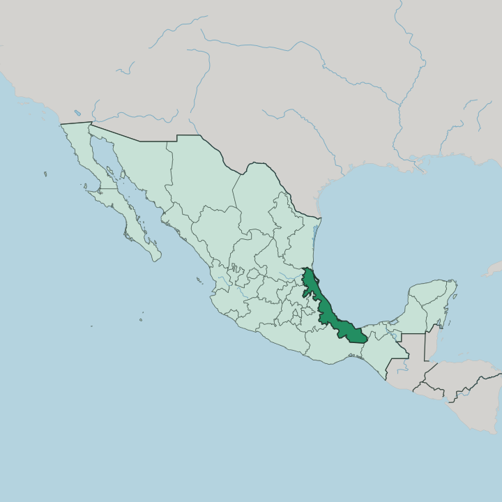


Towns & cities in Estado de Veracruz-Llave
Pick a town or city — each links to where to stay.
 Mexico
Veracruz
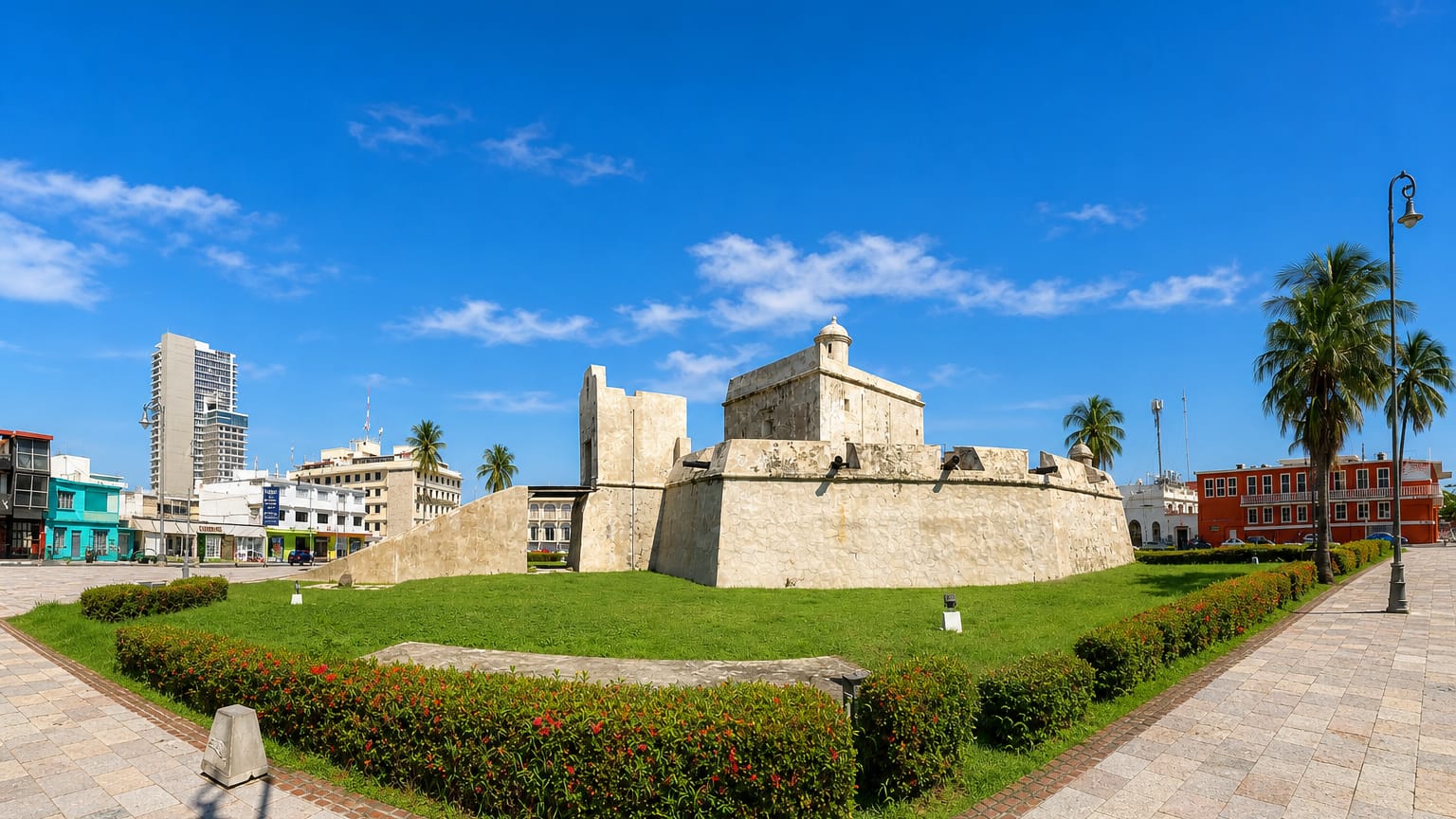
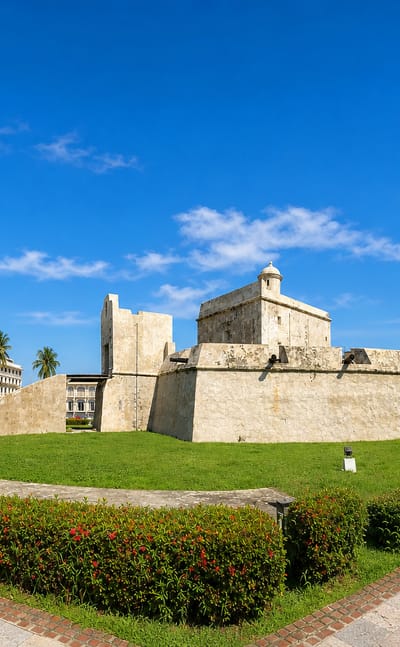
Sea air fills the harbour at Veracruz, a port city in Estado de Veracruz-Llave, known for San Juan de Ulúa and its carnival.Where to stay →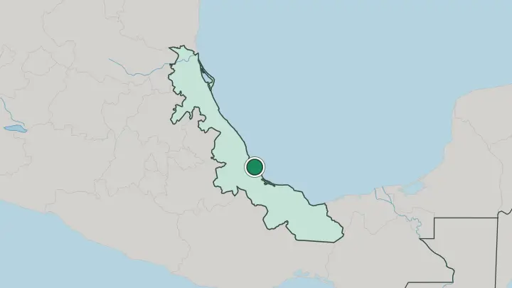
About Estado de Veracruz-Llave
Veracruz gave Mexico its most famous folk sound.
What is Estado de Veracruz-Llave known for?
Son jarocho was born here at the port, where the song La Bamba first took shape from the Spanish, Indigenous, and African rhythms that met along this Gulf shore. Coffee grows inland. In the volcanic hills around Coatepec, and in the Totonac vanilla country near Papantla, small towns supply beans and pods for markets across the country.
El Tajín, the great Totonac city crowned by its Pyramid of the Niches, stands in the north. Pico de Orizaba rises west of the coast, the highest mountain in Mexico.
Where is Estado de Veracruz-Llave?
Veracruz is a long, narrow crescent along the eastern edge of Mexico. It curves for hundreds of kilometres down the Gulf of Mexico, rarely more than a hundred wide, pinned between the water and the wall of the Sierra Madre Oriental behind it. Seven states ring its inland side: Tamaulipas, San Luis Potosí, Hidalgo, Puebla, Oaxaca, Chiapas, and Tabasco.
The land climbs fast. From a hot, flat coastal plain it rises within a short distance to the volcanic peaks of the western rim, where Pico de Orizaba, the highest mountain in Mexico, and the Cofre de Perote stand snow-touched above the lowlands. Rivers do the rest of the shaping.
More than forty of them run off the Sierra Madre Oriental and the central highlands, every one flowing east to the Gulf. The Pánuco, Tuxpan, and Cazones drain the north; the Papaloapan, Coatzacoalcos, and Tonalá drain the south. Between those river mouths lie lagoons, dunes, and marsh.
In the far south the ground buckles again into the Los Tuxtlas, a cluster of volcanoes and crater lakes rising straight from the coast. The state divides into 212 municipalities, from the Pánuco border with Tamaulipas to the Tonalá border with Tabasco.
What is Estado de Veracruz-Llave like?
Veracruz sounds like nowhere else in Mexico. The port grew from three peoples, Indigenous, Spanish, and enslaved Africans brought through its docks, and their music fused into son jarocho, played on the small jarana guitar at all-night fandangos. La Bamba is its best-known tune.
In the port city's plazas, couples still dance the danzón, a slow Cuban import that took root here more than a century ago. The people call themselves jarochos, and the word carries the whole mix. Carnival fills the streets each year before Lent, among the largest in the country, with days of parades, brass, and dancing by the harbour.
Away from the coast, the older cultures hold. Around Papantla, the Totonac keep the ritual of the Voladores, four men who launch from the top of a tall pole and spin slowly to the ground on unwinding ropes while a fifth plays a flute above. Their ancestors raised El Tajín, and first cultivated the vanilla still grown in these hills.
Higher up, the mountain towns of Coatepec and Xico live on coffee, grown in the shade of the volcanoes. The table matters too. Veracruz cooking leans on seafood, tomatoes, capers, and olives, the huachinango a la veracruzana served in the port is the dish the whole country knows by the state's name.
What is the history of Estado de Veracruz-Llave?
The story starts on the beach. In 1519 Hernán Cortés landed near the site of the port and founded Villa Rica de la Vera Cruz, the first Spanish town in Mexico, before marching inland with Totonac allies from Cempoala against the Aztecs. For three centuries the port was New Spain's front door, the harbour where silver left for Seville and armies arrived.
Veracruz became a state of the new republic in 1823. It was later renamed Veracruz de Ignacio de la Llave, for a reformist governor killed in 1863.
What is the climate of Estado de Veracruz-Llave?
In Veracruz, how high you climb settles what the weather will do. The Gulf coast stays hot and humid the year through, with a muggy rainy season that peaks in the storms of September, and winter northers, the nortes, that sweep cold wind and rain down the shore. Climb into the Sierra Madre and it changes fast.
Xalapa and the coffee hills sit cool and often wet, wrapped in the fine drizzle locals call chipi-chipi. Higher still, snow never leaves the summit of Pico de Orizaba. Height settles the weather.
How do you get to Estado de Veracruz-Llave?
Most travellers come in from Mexico City. The capital lies west over the Sierra Madre Oriental, about five hours by the toll road that climbs through Puebla and drops past Orizaba to the coast. Flights land at the port city of Veracruz, at the Heriberto Jara airport, the busiest in the state.
Cruise ships and freighters still crowd the same harbour Cortés once used. From the port, roads run north to Papantla and south into the Tuxtlas, while Xalapa sits an hour inland up the hills.
Good for
Updated July 2026