Mexico
Estado de Puebla, Mexico — Towns & Travel Guide


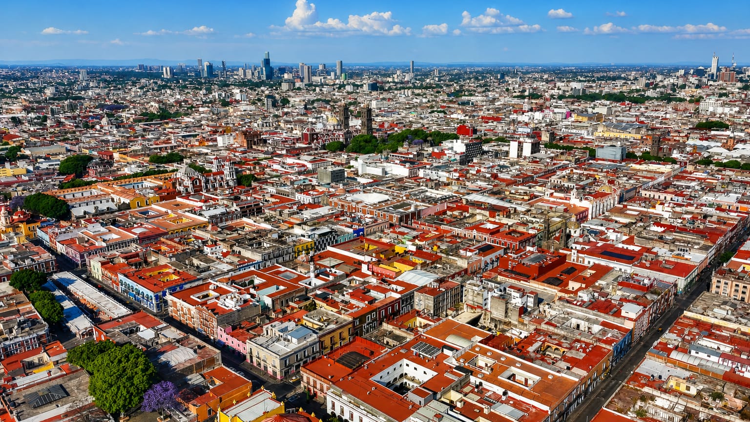
Estado de Puebla is a volcanic state of east-central Mexico, where the colonial city of Puebla and the pyramid of Cholula sit below Popocatépetl.
Find your area →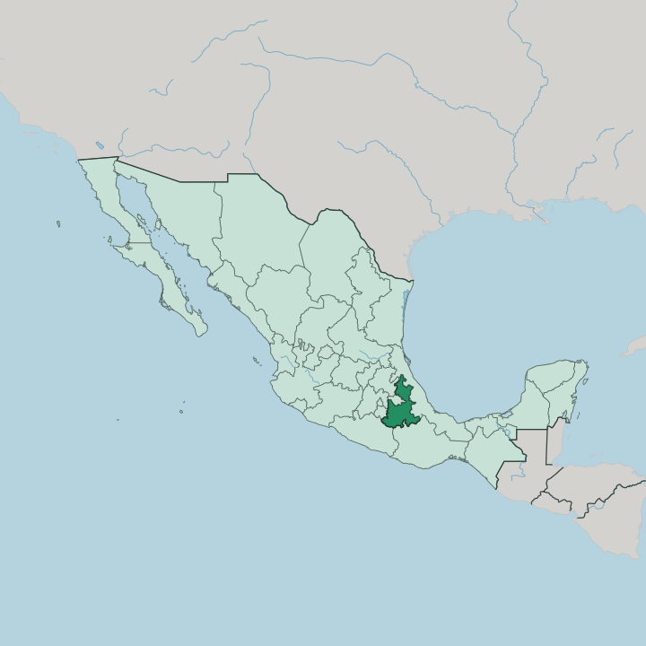


Towns & cities in Estado de Puebla
Pick a town or city — each links to where to stay.
 Mexico
Puebla
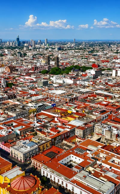
Volcanoes ring the valley around Puebla, a colonial city in Estado de Puebla known for its Baroque churches and the Puebla Cathedral.Where to stay →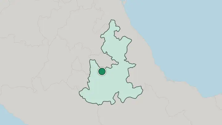
About Estado de Puebla
What is Estado de Puebla known for?
The state takes its name from Puebla, the fourth-largest city in Mexico and a colonial capital whose historic centre, tiled in blue-and-white Talavera ceramics, carries a UNESCO listing. Mole poblano was born here. So was the Battle of Puebla, the 1862 defeat of a French army that Mexico still marks each Cinco de Mayo.
West of the city, the Great Pyramid of Cholula rises as the largest pyramid on Earth by volume, a Spanish church planted on its summit.
Where is Estado de Puebla?
Estado de Puebla occupies east-central Mexico, a long wedge of land that narrows to a point in the north and widens across a broad southern base. It borders seven states. Veracruz wraps its eastern and northern flank, while Hidalgo, the State of Mexico, Tlaxcala and Morelos close off the west, and Guerrero and Oaxaca meet it in the south. The capital, Puebla, sits at the centre, on a high plateau southeast of Mexico City.
Mountains define the rest. The Sierra Madre Oriental climbs across the north, its slopes falling into the humid Sierra Norte de Puebla, while the Trans-Mexican Volcanic Belt strings the state's great volcanoes along its western and southern rims. Popocatépetl and Iztaccíhuatl stand on the border with the State of Mexico, La Malinche rises toward Tlaxcala, and Pico de Orizaba, the highest summit in Mexico, marks the corner shared with Veracruz.
Between the ranges lies the Valle de Serdán, a high farming basin. The Atoyac River gathers snowmelt off the volcanoes and runs south through the capital toward the Balsas. Drier ground opens to the southeast, where the Tehuacán valley fades into cactus and semi-desert.
What is Estado de Puebla like?
Puebla built its identity around clay and chiles. Talavera, the tin-glazed blue-and-white pottery brought by Spanish potters and shaped by Moorish patterns, has been fired in the state's workshops since the colonial century and still tiles its church domes and façades. Gilded Baroque fills the churches, above all the Capilla del Rosario in the capital, its walls a dazzle of gold leaf and stucco.
The kitchen is just as storied. Mole poblano, the dark sauce of chiles, chocolate and spices, was reputedly ground for the first time in a Puebla convent, and the city also lays claim to chiles en nogada, cemitas and the sugared camotes sold in its streets. Beyond the colonial core, older cultures hold.
Nahua and Totonac communities farm the Sierra Norte de Puebla, where Nahuatl is still spoken in the markets and voladores spin from a tall pole in the square at Cuetzalan. Spanish is the common tongue across the state, but it shares the mountains with those older languages. The state also carries a national memory: the Battle of Puebla, fought outside the capital, is marked across Mexico each Cinco de Mayo, though the holiday looms largest in Puebla itself.
What is the history of Estado de Puebla?
Cholula was a living city long before the Spanish came, one of the oldest continuously inhabited places in the Americas. The Spanish founded Puebla de los Ángeles in 1531 on empty ground between Mexico City and the port of Veracruz, laying it out on a strict grid as a colonial showpiece. That grid survives.
It grew rich on wool, wheat and the Talavera trade. After independence, Puebla became one of the founding states of the Mexican federation in 1824. Its most famous day came in 1862, when Mexican troops turned back a French army outside the city on the fifth of May.
What is the climate of Estado de Puebla?
In Puebla it is the lay of the land, high plateau against high mountain, that governs the weather. Around the capital, on a plateau more than two thousand metres up, days stay mild and nights turn cold, with rains falling mostly between May and October and clear skies the rest of the year. The Sierra Norte de Puebla is the wet corner, wrapped in cloud forest and fog where moist Gulf air piles against the mountains.
The south, toward Tehuacán, is drier and hotter, fading into cactus country. Snow caps Popocatépetl and Pico de Orizaba above it all. Elevation shapes the weather.
How do you get to Estado de Puebla?
Most travellers reach Puebla through Mexico City. From the capital's airport, frequent buses run down to the city in about two hours along the toll motorway that climbs over the high pass between the two valleys. Puebla has an airport of its own, Hermanos Serdán International Airport at Huejotzingo, though its flight list is thin.
From the city, second-class buses fan out to Cholula and Atlixco within the hour. Cuetzalan lies much farther still, a long haul north into the Sierra Norte de Puebla.
Common questions
What is the best area to stay in Estado de Puebla?
Puebla: a first base in Puebla state.
Good for
Updated July 2026