Mexico
Estado de Baja California, Mexico — Towns & Travel Guide


Baja California is Mexico's north-westernmost state, the top half of a long peninsula between the Pacific Ocean and the Gulf of California.
Find your area →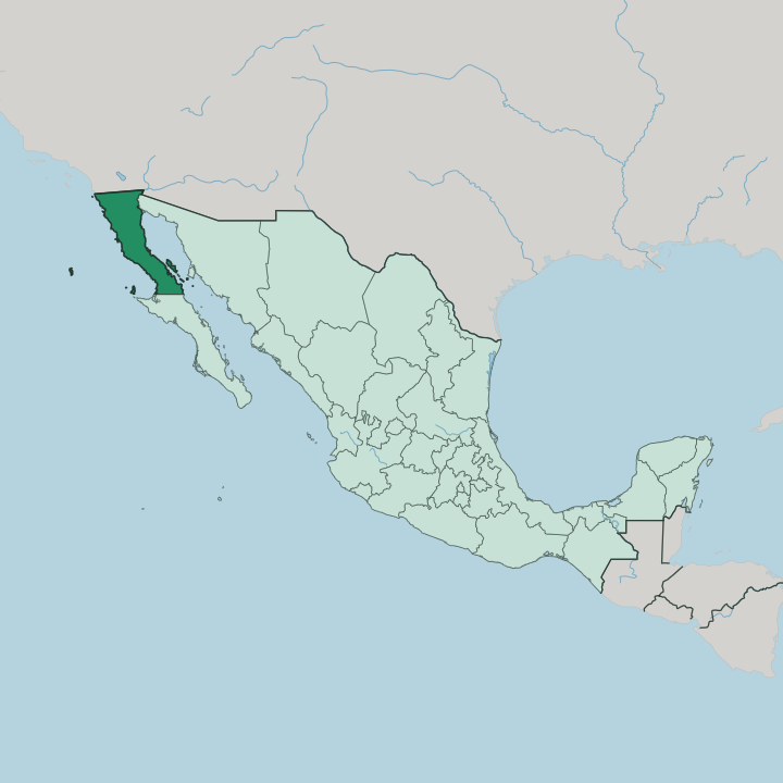


Towns & cities in Estado de Baja California
Pick a town or city — each links to where to stay.
 Mexico
Tijuana
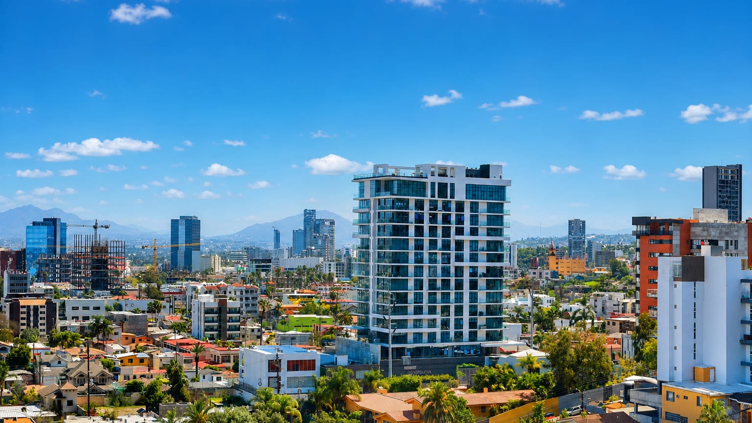
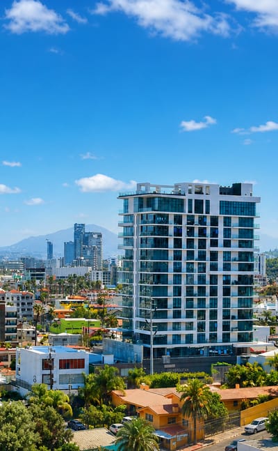
Tijuana rises against the border hills of Baja California, a Pacific city known for the Centro Cultural Tijuana and its crossing with San Diego.Where to stay →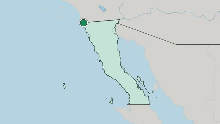
 Mexico
Mexicali
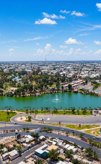
Desert light falls on Mexicali, the border capital of Baja California, set across from Calexico, California, known for its Chinese food tradition.Where to stay →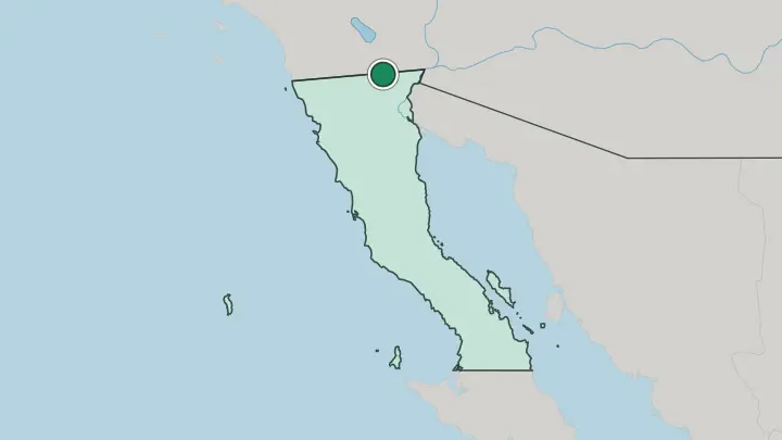
About Estado de Baja California
The border defines it.
What is Estado de Baja California known for?
Tijuana presses right against the fence with San Diego and stands as the state's largest city, while the capital, Mexicali, bakes in the desert further east. Ensenada opens onto the Pacific as a working port and the doorway to wine country. Inland from there, the Valle de Guadalupe pours most of Mexico's wine.
The fish taco comes from this coast, and the Gulf of California draws anglers south to San Felipe.
Where is Estado de Baja California?
Baja California caps the northern end of a long peninsula, the top half of it, with Baja California Sur taking the rest to the south. The United States lies over its northern edge, where the state runs against California along a straight surveyed line. Water frames the other three sides.
The Pacific Ocean washes the western shore, the Gulf of California cuts in from the east, and the peninsula narrows between the two. A granite spine splits the state down the middle. The Sierra de Juárez and the higher Sierra de San Pedro Mártir carry pine forest and the summit of Picacho del Diablo, the tallest point on the whole peninsula.
East of that range the land drops into the Sonoran Desert, some of the driest ground in Mexico. The Colorado River slips across the north-eastern corner and spreads into its delta, watering the flat farmland around Mexicali before it reaches the sea. Tijuana sits in the north-western corner against the border.
Mexicali holds the opposite corner inland, where the desert begins. Far out in the Pacific, past the fishing grounds off Ensenada, Guadalupe Island marks the westernmost land in all of Mexico. Every part of the state bends around that split between wet coast and dry interior.
What is Estado de Baja California like?
Two countries rub together here, and the friction shows in the food. Tijuana cooks blur the line between Mexican and Californian kitchens, and the style even has a name: Baja Med, built on local seafood, olive oil and desert herbs. The fish taco began on this coast, battered and fried and folded into a warm corn tortilla with cream and cabbage.
Wine matters too. The Valle de Guadalupe has turned into the centre of Mexican winemaking, and its harvest festival draws crowds down from Tijuana and Ensenada each summer. Tecate keeps the state's oldest brewing name alive to the east.
The everyday language is Spanish, though English drifts easily across the border in Tijuana and the beach towns. Small colonies of American retirees from California have settled along the coast around Rosarito and Ensenada. Older roots run deeper still.
The Cucapá, a Yuman people of the Colorado River delta, have fished and farmed the north-eastern flats for centuries. Music, wrestling and street art give Tijuana a restless edge that sets it apart from the quieter port at Ensenada. Life here leans north as much as south.
What is the history of Estado de Baja California?
Early maps drew it as an island. Spanish ships under Hernán Cortés reached the peninsula in the 1530s, and for two centuries missionaries pushed north through the desert before Spain split the Californias in 1804. The northern piece became Baja California, kept by Mexico when the United States took Alta California to the north in 1848.
Statehood came late. The territory was admitted as the twenty-ninth state of Mexico in 1952, long after the border had hardened.
What is the climate of Estado de Baja California?
Three climates share one state. The Pacific coast around Tijuana and Ensenada runs mild and Mediterranean, with dry warm summers and the year's rain saved for cool winters off the ocean. Cross the mountains east and the air turns furnace-dry, with Mexicali logging some of the hottest summers anywhere in Mexico.
Up in the Sierra de San Pedro Mártir, pine slopes catch snow through the winter months. The sea keeps the west gentle.
How do you get to Estado de Baja California?
Most arrivals come through the border. Tijuana International Airport sits right on the line, joined to San Diego by the Cross Border Xpress footbridge that lets ticketed flyers walk straight across into the United States. Overland, the San Ysidro crossing between Tijuana and San Diego is the busiest land border in the Western Hemisphere.
Drivers can also cross at Mexicali, opposite Calexico on the desert side. From there the Transpeninsular Highway, Federal Highway 1, runs south through Ensenada and down the length of the peninsula. The rest is road.
Common questions
What is the best area to stay in Estado de Baja California?
Tijuana: arriving overland from California. Mexicali: the desert capital and Calexico line.
Good for
Updated July 2026