Mexico
Estado de Chihuahua, Mexico — Towns & Travel Guide


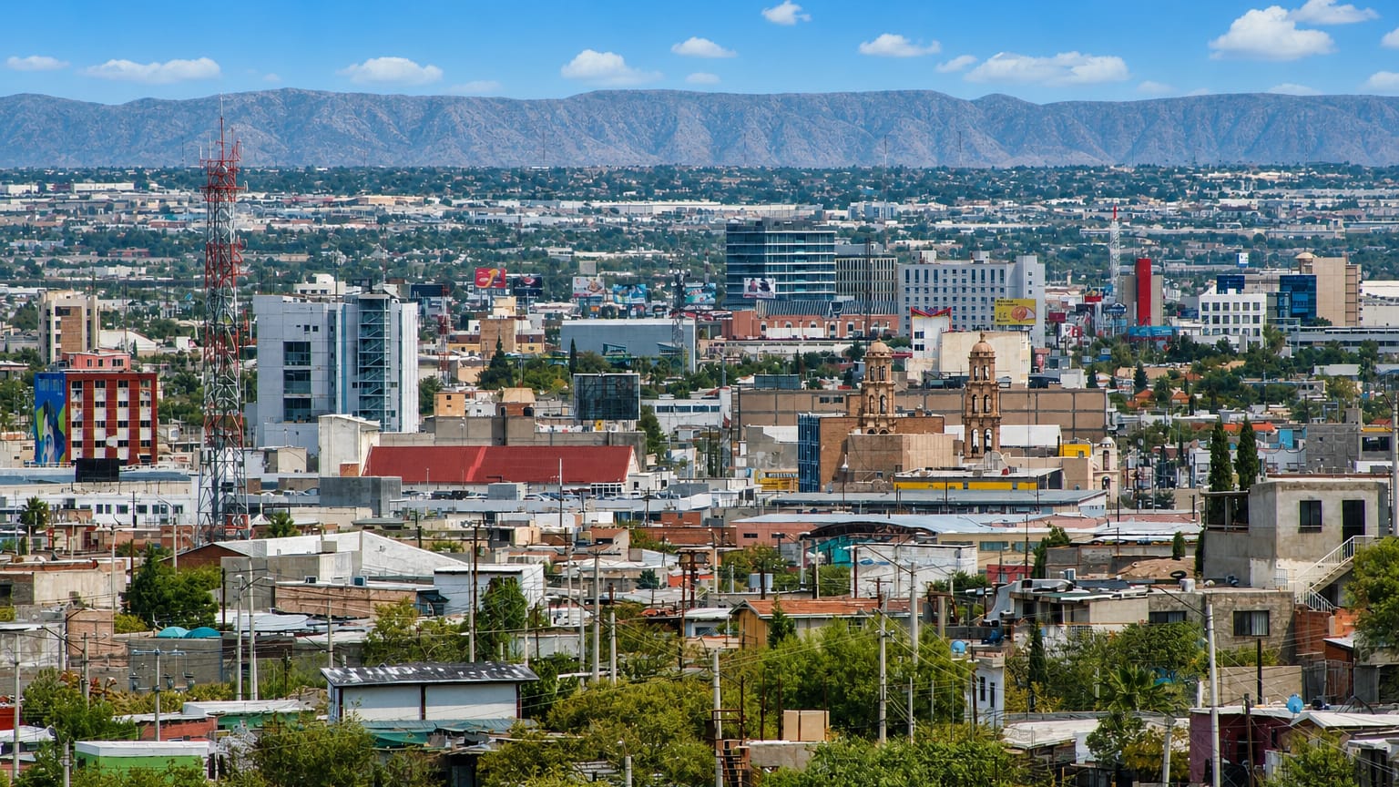
Estado de Chihuahua is the largest state in Mexico, spanning the Chihuahuan Desert and the Sierra Madre Occidental's Copper Canyon.
Find your area →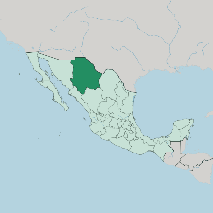


Towns & cities in Estado de Chihuahua
Pick a town or city — each links to where to stay.
 Mexico
Ciudad Juárez
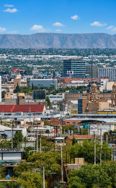
Ciudad Juárez stands on the Rio Grande in Chihuahua, a border city facing El Paso, known for the Misión de Nuestra Señora de Guadalupe.Where to stay →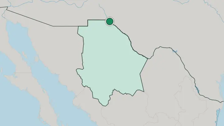
About Estado de Chihuahua
What is Estado de Chihuahua known for?
Copper Canyon is the state's headline draw. Deeper and wider than the Grand Canyon, this system of six gorges cuts through the Sierra Madre Occidental, and the Ferrocarril Chihuahua al Pacífico threads the whole descent from the highlands to the Pacific. The Chihuahuan Desert covers the rest.
Ciudad Juárez faces El Paso across the Rio Grande, while Chihuahua City anchors the desert plateau. The Rarámuri still farm and run the high canyon country.
Where is Estado de Chihuahua?
Estado de Chihuahua is the largest state in Mexico, filling the country's north against the United States. New Mexico and Texas lie across its northern edge, where the Rio Grande, called the Río Bravo, marks the line east of El Paso. Sonora sits to the west, Durango to the south, and Coahuila to the east. Two landscapes split the state.
The Sierra Madre Occidental walls off the west in pine-forested ridges, while the Chihuahuan Desert spreads its plateau across the north and east toward the river. Water writes the map here. The Río Conchos rises in the western sierra and runs northeast to join the Rio Grande, the largest Mexican tributary that river takes, and most people cluster in its valley and along the border.
Copper Canyon is cut into the sierra's flank, six gorges together deeper than any single canyon in the country. Ancient builders left their mark too. The adobe ruins of Paquimé stand near Casas Grandes, out on the desert plain, a walled city of the Chihuahuan Desert trade routes long before the Spanish came.
Despite the desert name, the state holds more forest than any in Mexico but Durango, up in those western highlands. Little of the interior is easy ground.
What is Estado de Chihuahua like?
Two peoples define the state's character. The Rarámuri, known for running vast distances across the canyon country on foot, kept to the high Sierra Madre Occidental after the Spanish arrived and still hold their own language and ceremonies. German-speaking Mennonites came later.
Invited to settle after the Revolution, they farm the plains around Cuauhtémoc and press the mild yellow queso menonita sold across Mexico as Chihuahua cheese. Above all this is norteño country, ranch land of cattle, cowboy boots, and the accordion-and-bajo-sexto polkas that carry the northern sound. The kitchen runs on beef: machaca, grilled discada, and the fat flour burritos of Villa Ahumada and Ciudad Juárez that fed the northern cattle roads.
Music binds the year. Every May the state capital fills for the Feria de Santa Rita, the fair honouring Santa Rita de Casia, the city's patron saint, with masses, matachines dancers, and rodeo. Revolution is part of the identity too.
Pancho Villa raised his División del Norte here, and his old mansion in Chihuahua City holds the museum that keeps his memory. Hidalgo del Parral, the old silver town to the south, is where gunmen finally caught him. Spanish is the common tongue.
What is the history of Estado de Chihuahua?
Spanish silver miners pushed into this desert frontier in the seventeenth century, raising presidios against Apache and Comanche raiders. Statehood came in 1824. The new Mexican republic drew Chihuahua's borders as its largest northern state, out along the desert march toward the United States.
Its loudest century was the next one. Pancho Villa raised the Mexican Revolution's northern armies from these ranches, and the fighting scarred Chihuahua City and the mining towns for a decade.
What is the climate of Estado de Chihuahua?
Elevation sets the weather here. The desert plateau runs hot through summer and drops below freezing on winter nights, with frost common from late autumn into spring and snow only a rare visitor. Most rain waits for late summer.
The Sierra Madre Occidental wrings the Pacific storms dry, so the Chihuahuan Desert lies in its rain shadow and the western canyons stay far warmer than the pine rim above them.
How do you get to Estado de Chihuahua?
Flying is how most people arrive in Chihuahua. Chihuahua City and Ciudad Juárez both run airports with flights from Mexico's hubs and the United States, and Juárez shares the border traffic of El Paso next door. The land border is the other door.
Drivers and buses cross the Rio Grande bridges from Texas, then run the highways south across the desert to the capital. For the canyons, the Ferrocarril Chihuahua al Pacífico climbs out of Chihuahua City and crosses the Sierra Madre Occidental to Los Mochis near the Pacific coast.
Updated July 2026