Mexico
Estado de Yucatán, Mexico — Towns & Travel Guide


Estado de Yucatán covers the north of Mexico's Yucatán Peninsula, a flat limestone country of Maya ruins, cenotes and a long Gulf of Mexico coast.
Find your area →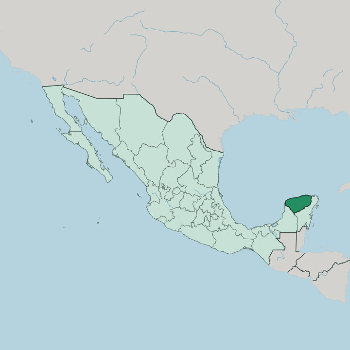


Towns & cities in Estado de Yucatán
Pick a town or city — each links to where to stay.
 Mexico
Mérida
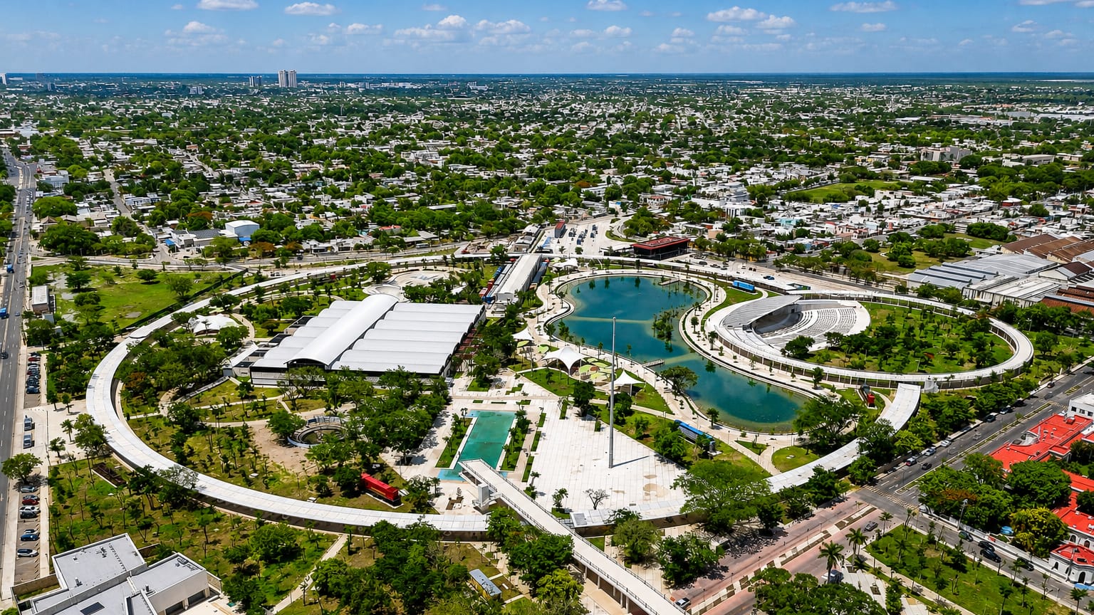
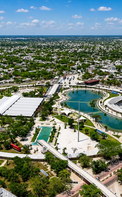
Pale limestone fronts the streets of Mérida, capital of Estado de Yucatán, known for the Palacio Cantón and the Plaza de toros de Mérida.Where to stay →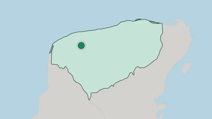
About Estado de Yucatán
Yucatán is Maya country first of all.
What is Estado de Yucatán known for?
Chichén Itzá stands at its centre, the stepped pyramid of Kukulcán rising from flat scrub, and Uxmal holds the low Puuc hills to the south. Between the ruins the limestone is punched through with cenotes, flooded sinkholes the ancient Maya treated as sacred wells. Mérida anchors the state with its colonial streets and the long Paseo de Montejo.
The kitchen matters too: cochinita pibil, pork buried with achiote and sour orange in a stone-lined pib. Yucatec Maya is still spoken in the villages.
Where is Estado de Yucatán?
Yucatán holds the northern third of the Yucatán Peninsula, the broad limestone tongue that separates the Gulf of Mexico from the Caribbean Sea. Campeche lies to the south-west and Quintana Roo to the south-east, the two states that share the peninsula with it. The Gulf of Mexico washes the whole northern edge. That coast is a low ribbon of dunes, salt flats and mangrove lagoons, and Mérida sits inland while its port of Progreso stands out on the shore.
Across Yucatán the limestone plain lies almost dead level. Almost nowhere does it rise more than a few metres above the sea. What makes the ground unusual is water, or rather the lack of it on the surface.
Yucatán has almost no rivers and no lakes. Rain drains straight through the porous limestone into a honeycomb of flooded caves below. It surfaces only where the rock roof falls in.
Where that happens a cenote opens, and thousands of these sinkholes pit the plain, for the ancient Maya they were the only steady water and a doorway to the underworld. The single real relief is the Puuc, a belt of low hills along the Sierrita de Ticul in the south, where Uxmal was raised. At its ends the coast dissolves into shallow lagoons where flamingos feed, Celestún in the west and Ría Lagartos in the far north-east.
Flamingos gather at both ends. It is a stony country, thirsty on top and rimmed by the Gulf.
What is Estado de Yucatán like?
Yucatán keeps its own way of being Mexican. The peninsula was cut off by sea and jungle for centuries, and the state still leans as much toward its Maya past as toward the capital far to the west. Yucatec Maya is spoken in kitchens and market stalls across the countryside, one of the strongest surviving indigenous tongues in Mexico.
It threads into the everyday Spanish. The regional dress shows the split too: the white huipil embroidered with flowers, the loose guayabera shirt worn to the office and the fiesta alike. Pride here is fierce and local.
The kitchen is where the difference is easiest to taste. Cooks build flavour on recado rojo, the brick-red achiote paste that colours cochinita pibil, and on the sour orange that cuts the pork. Sopa de lima, papadzules and panuchos round out a table that owes little to the chilli-and-corn cooking of central Mexico.
Music runs to trova, the guitar-and-voice serenade of Mérida's plazas, and to the stamping jarana danced at village vaquerías. The old henequen haciendas still stand in the countryside around the capital, their roofless factories and chapels left from the rope boom. Some are hotels now.
At the start of November the Maya feast of Hanal Pixán lays out food for the returning dead. Old and Catholic and Maya all at once.
What is the history of Estado de Yucatán?
The land was Maya long before it was Mexican. Chichén Itzá and Uxmal rose in the Classic and Postclassic centuries, and Mayapán ruled the north until it fell around 1441. Spanish conquest came slowly and hard.
Francisco de Montejo's son founded Mérida in 1542 on the razed Maya town of T'ho, built from its own cut stone. Yucatán ran briefly as its own republic before joining the Mexican federation in 1823. Then came the Caste War.
That Maya revolt of 1847 hollowed out the countryside for decades, even as henequen wealth gilded Mérida's avenues.
What is the climate of Estado de Yucatán?
Yucatán runs hot the year round. A drier, cooler spell holds from November into February. Those are the kind months to travel.
Then the heat builds through March, April and May until the rains break in June and pour down in heavy afternoon storms that last until October. That wet stretch is hurricane season on the Gulf of Mexico, when tropical storms can drive in off the water. Inland Mérida bakes hardest, while Progreso stays cooler under the steady sea breeze off the coast.
Little rain soaks in, so the cenotes hold the region's coolest water.
How do you get to Estado de Yucatán?
Mérida is the usual way in by air. Its Manuel Crescencio Rejón International Airport handles most of the state's flights. Just as many travellers land at Cancún, over in Quintana Roo, and drive west on Federal Highway 180 through Valladolid, the road that runs past Chichén Itzá.
The Tren Maya railway now traces that corridor, tying Mérida to the ruins and the Caribbean coast. Progreso takes the cruise ships. From the capital, buses and hire cars stitch the towns together over flat and open roads.
Common questions
What is the best area to stay in Estado de Yucatán?
Mérida: a first base for Uxmal, Izamal and the haciendas.
Updated July 2026